The best running trails around Puy-Guillaume
4.6
(10)
416
runners
24
runs
Puy-Guillaume jogging routes offer diverse terrain within the Puy-de-Dôme department of central France. The region is characterized by its location in the Dore plain, with the town situated on the right bank of the Dore river. Jogging routes here range from flatter riverbank paths to more undulating trails, with altitudes varying between 265 and 590 meters. The surrounding varied natural landscapes, including proximity to the Bois Noirs, provide opportunities for scenic runs and more rigorous forested trails.
Best jogging routes…
Last updated: July 1, 2026
7
runners
10.2km
01:04
60m
60m
Moderate run. Good fitness required. Mostly paved surfaces. Suitable for all skill levels.
6
runners
11.1km
01:14
150m
150m
Moderate run. Good fitness required. Mostly paved surfaces. Suitable for all skill levels.

Sign up for free
6
runners
6.70km
00:44
50m
50m
Moderate run. Good fitness required. Mostly paved surfaces. Suitable for all skill levels.
6
runners
9.78km
01:03
60m
60m
Moderate run. Good fitness required. Mostly paved surfaces. Suitable for all skill levels.
3
runners
11.1km
01:11
110m
110m
Moderate run. Good fitness required. Mostly paved surfaces. Suitable for all skill levels.
Get access to more routes and recommendations from other explorers.
Sign up for free
Already have an account?
Our route recommendations are based on thousands of hikes, rides, and runs completed by other people on komoot.
Start today with a free account
Your next adventure awaits.
Login or Signup
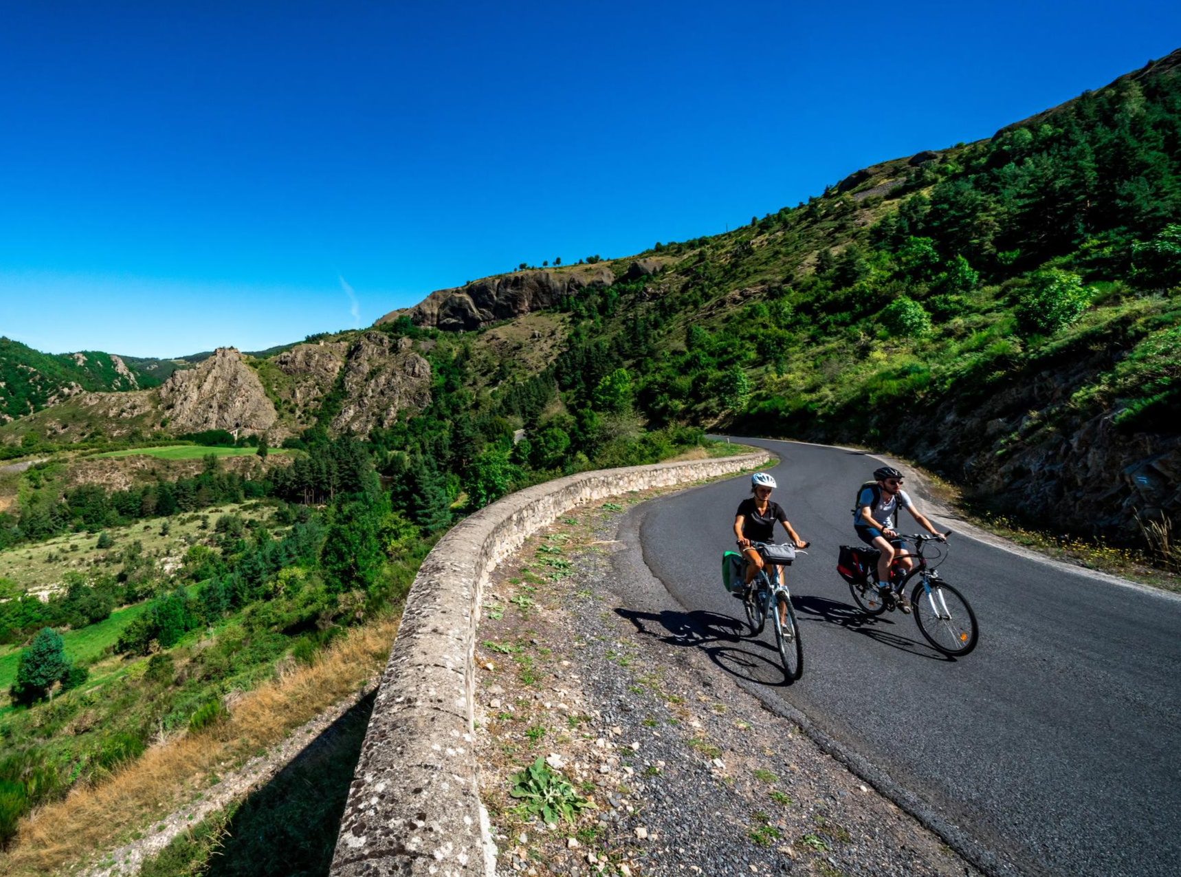
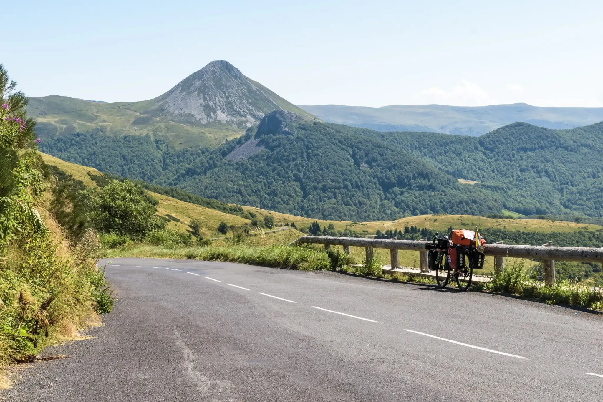
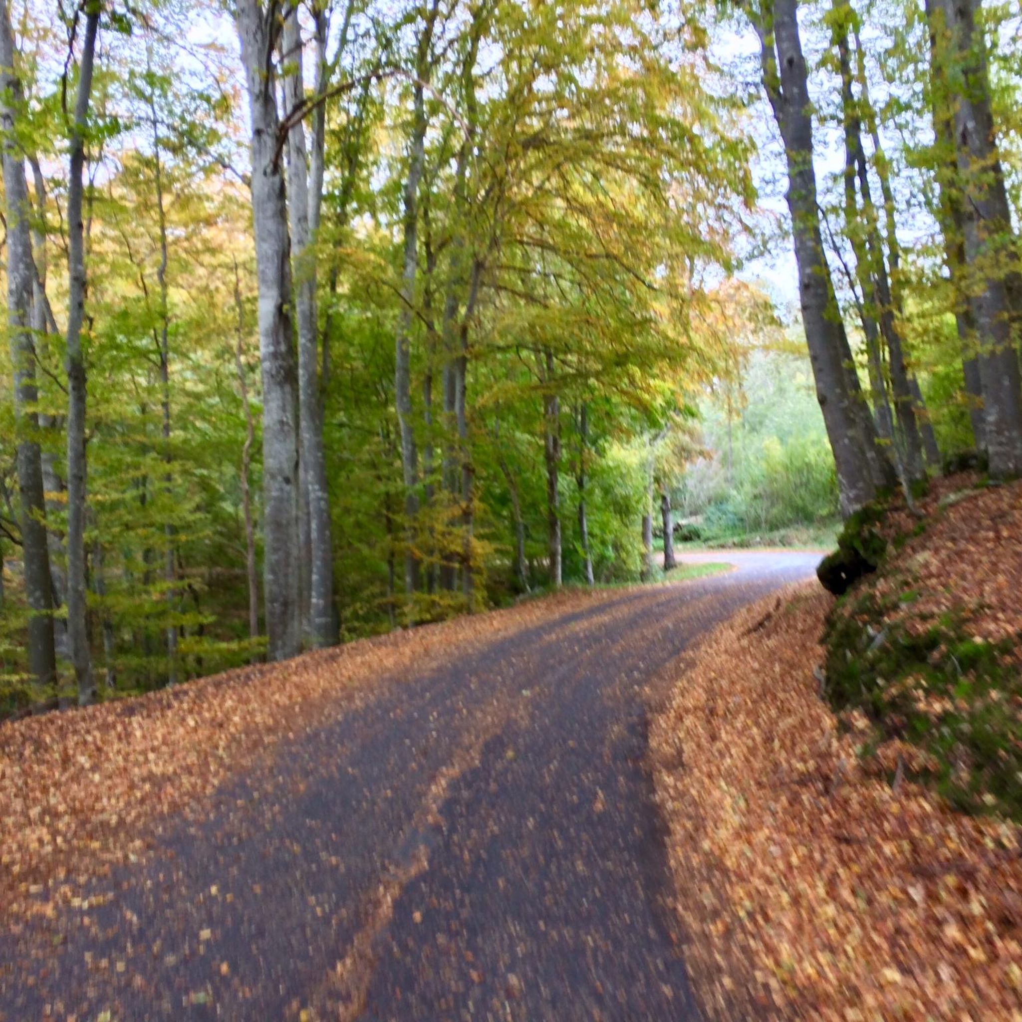
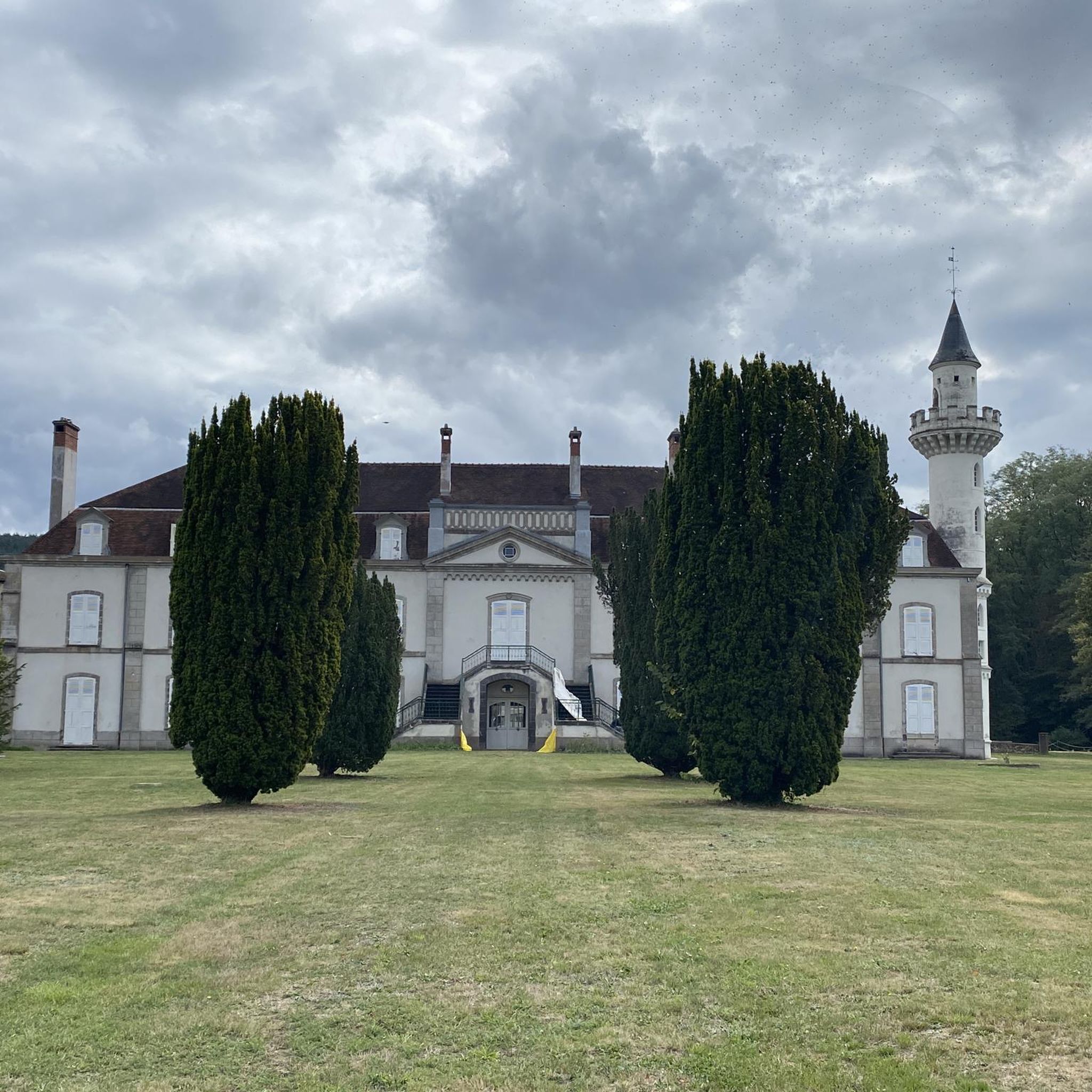



Tips from the Community

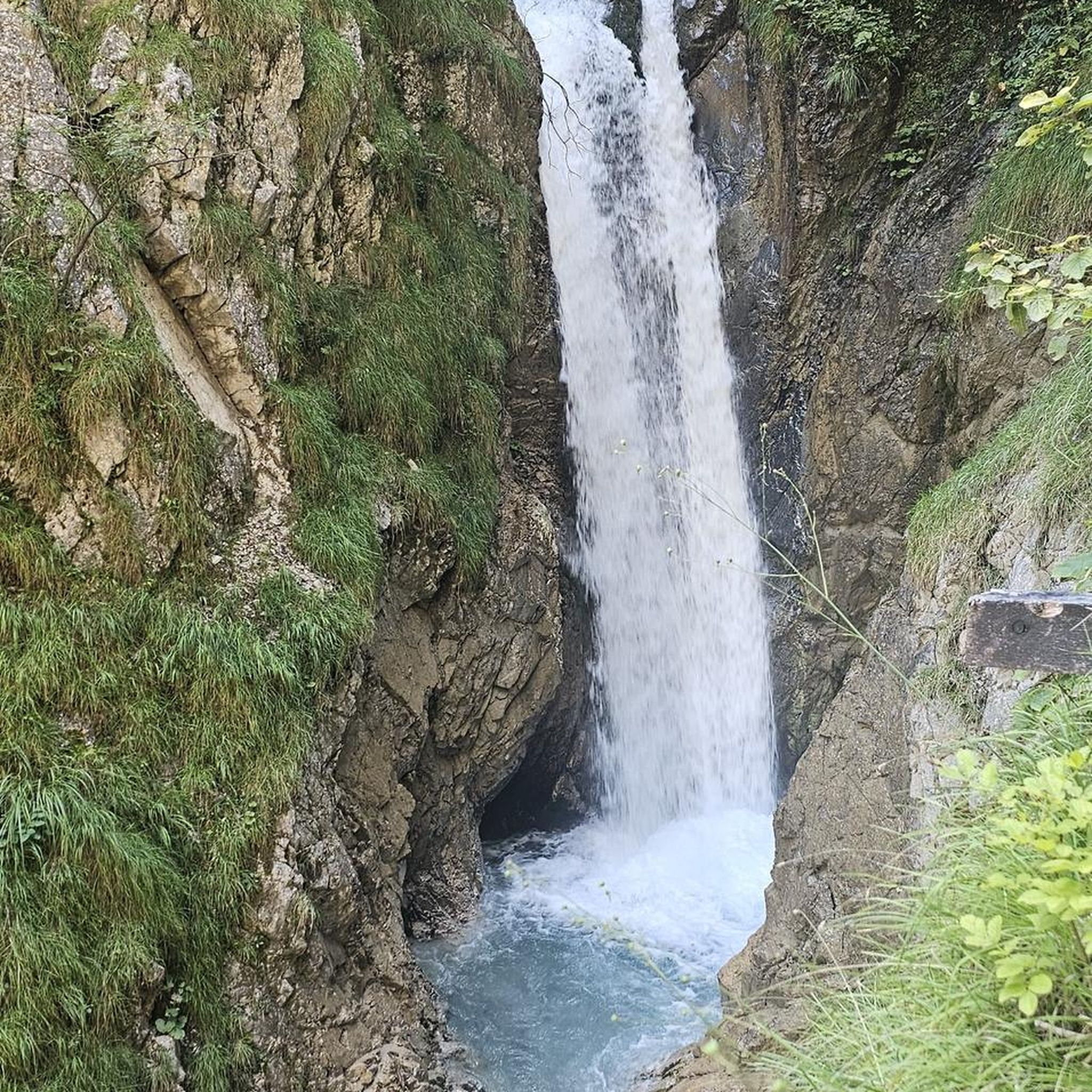
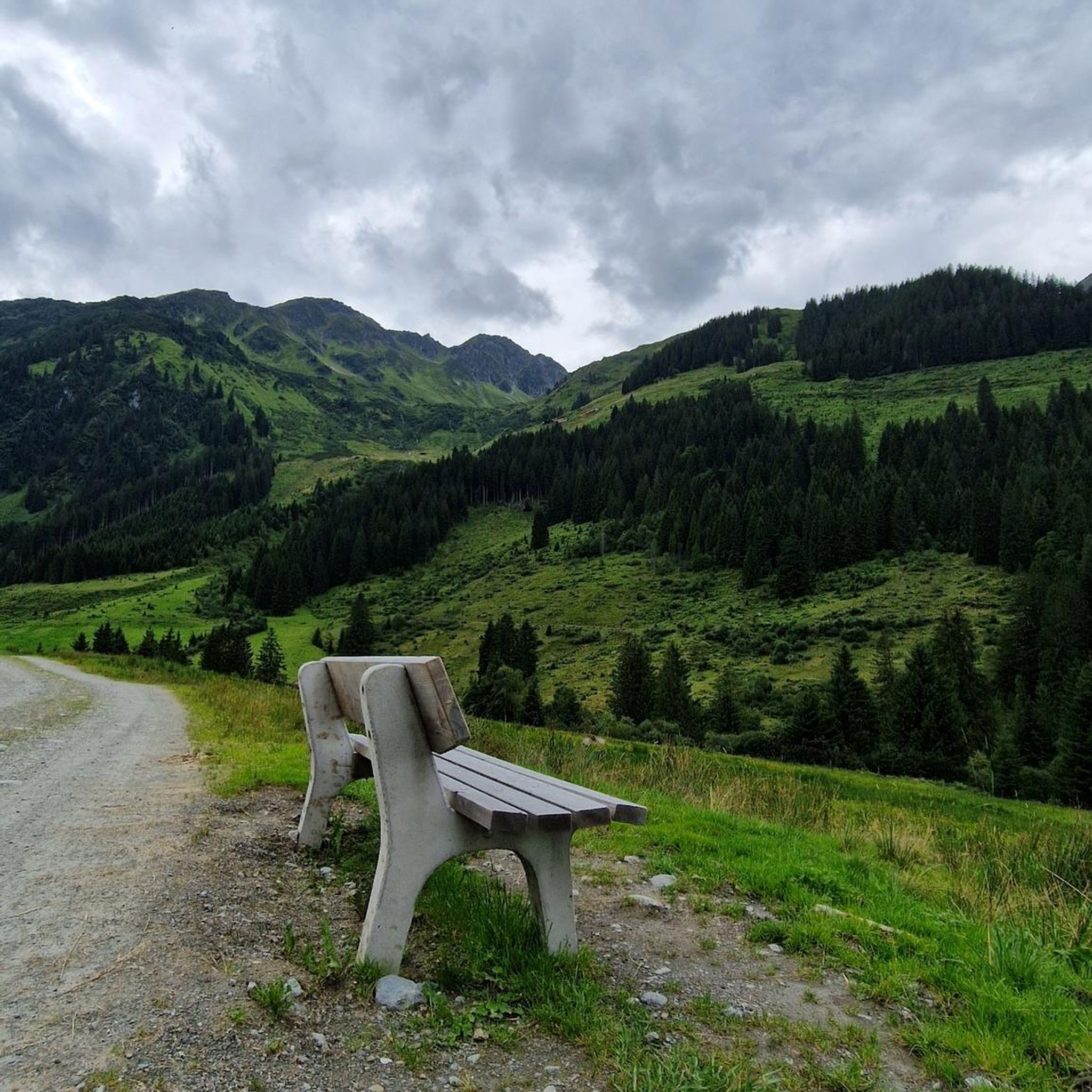
Châteldon is a very pretty village located between the Dore valley and the foothills of the Bois Noirs, in the territory of the Livradois-Forez Regional Natural Park. It enjoys a remarkable natural environment and a castle town of medieval origin. The commune of Châteldon is approved as a “Small city of character”. To see: The Castle and the half-timbered houses, Vauziron valley Bar-Tabac and Bakery for express ravito.
0
0
Frequently Asked Questions
How many running routes are available around Puy-Guillaume?
There are over 20 running routes in the Puy-Guillaume area, offering a variety of experiences for different fitness levels. These include easy loops, moderate trails, and some more challenging runs.
Are there any easy or beginner-friendly jogging routes in Puy-Guillaume?
Yes, Puy-Guillaume offers a couple of easy running routes perfect for beginners or those seeking a relaxed pace. These trails typically feature gentler terrain and shorter distances.
What kind of terrain can I expect on the jogging routes near Puy-Guillaume?
The terrain around Puy-Guillaume is quite varied. You'll find flatter riverside paths along the Dore river, undulating routes with an altitude range of 265 to 590 meters, and even more rigorous forested trails, especially closer to the Bois Noirs. Many routes are predominantly on paved surfaces, but natural landscapes are also common.
Are there any circular running routes in the Puy-Guillaume area?
Yes, many of the running routes around Puy-Guillaume are circular. For example, the Running loop from Puy-Guillaume is a moderate 9.7 km loop, and the Étang Tuilier loop from Puy-Guillaume is a 6.7 km trail leading through natural landscapes.
Can I find running routes that pass by historical landmarks or points of interest?
Absolutely. The region is rich in history and natural beauty. For instance, the Châteldon Castle loop from Puy-Guillaume offers views towards the historic Châteldon Castle. You might also encounter other interesting sites like the Hell's Hollow or the Usine du Creux in the Vallée des Usines.
Are there any running trails suitable for families or with stroller access?
While specific stroller-friendly routes are not detailed, the flatter riverside paths along the Dore river and some of the easier, paved loops in the region would likely be suitable for families or those with strollers. Always check the route description for specific terrain details before heading out.
What do other runners enjoy most about jogging in Puy-Guillaume?
The running routes in Puy-Guillaume are highly rated by the komoot community, with an average score of 4.4 stars from more than 9 reviews. Runners often praise the varied local terrain, from tranquil riverside paths to scenic loops around natural features like the Étang Tuilier, and the opportunities to see historic landmarks like Châteldon Castle.
Are there any challenging running trails for experienced runners?
Yes, for more experienced runners seeking a challenge, Puy-Guillaume offers several difficult routes. The region's altitude range, extending up to 590 meters, and proximity to the Bois Noirs suggest opportunities for more rigorous, forested trails with greater elevation changes.
What is the best season for running in Puy-Guillaume?
Puy-Guillaume offers pleasant running conditions throughout much of the year. Spring and autumn provide mild temperatures and beautiful scenery. Summer can be warm, making early morning or late evening runs ideal, especially along shaded forest paths or riverside routes. Winter running is also possible, though conditions may vary.
Are there any running routes that feature water bodies like rivers or lakes?
Yes, the Dore river runs through Puy-Guillaume, offering tranquil waterside routes. Additionally, the Étang de Terre-Dieu loop from Châteldon provides a scenic run around a lake, and the Étang Tuilier loop from Puy-Guillaume also explores natural landscapes around a pond.
Is there parking available near the trailheads in Puy-Guillaume?
While specific parking information for every trailhead isn't provided, Puy-Guillaume is a commune with various starting points for routes. It is generally advisable to check the individual route details on komoot for specific parking recommendations or look for public parking areas within the town itself, especially for routes starting directly from Puy-Guillaume.
Are dogs allowed on the running trails around Puy-Guillaume?
Many outdoor trails in France, especially in regional natural parks like Livradois-Forez, are dog-friendly. However, it's always recommended to keep dogs on a leash, particularly in areas with wildlife or near agricultural land, and to check for any specific local regulations or signage on individual trails.
Most popular routes around Puy-Guillaume
Most popular attractions around Puy-Guillaume

Get inspired with the komoot mobile app


Explore more
Browse the best Running Trails & Routes in other regions.
