The best walks and hikes around Chauffour-Lès-Étréchy
4.6
(652)
3,846
hikers
293
hikes
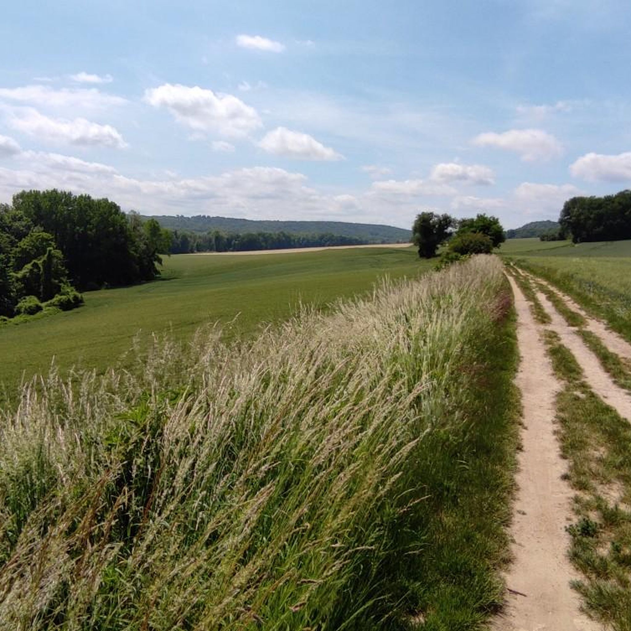
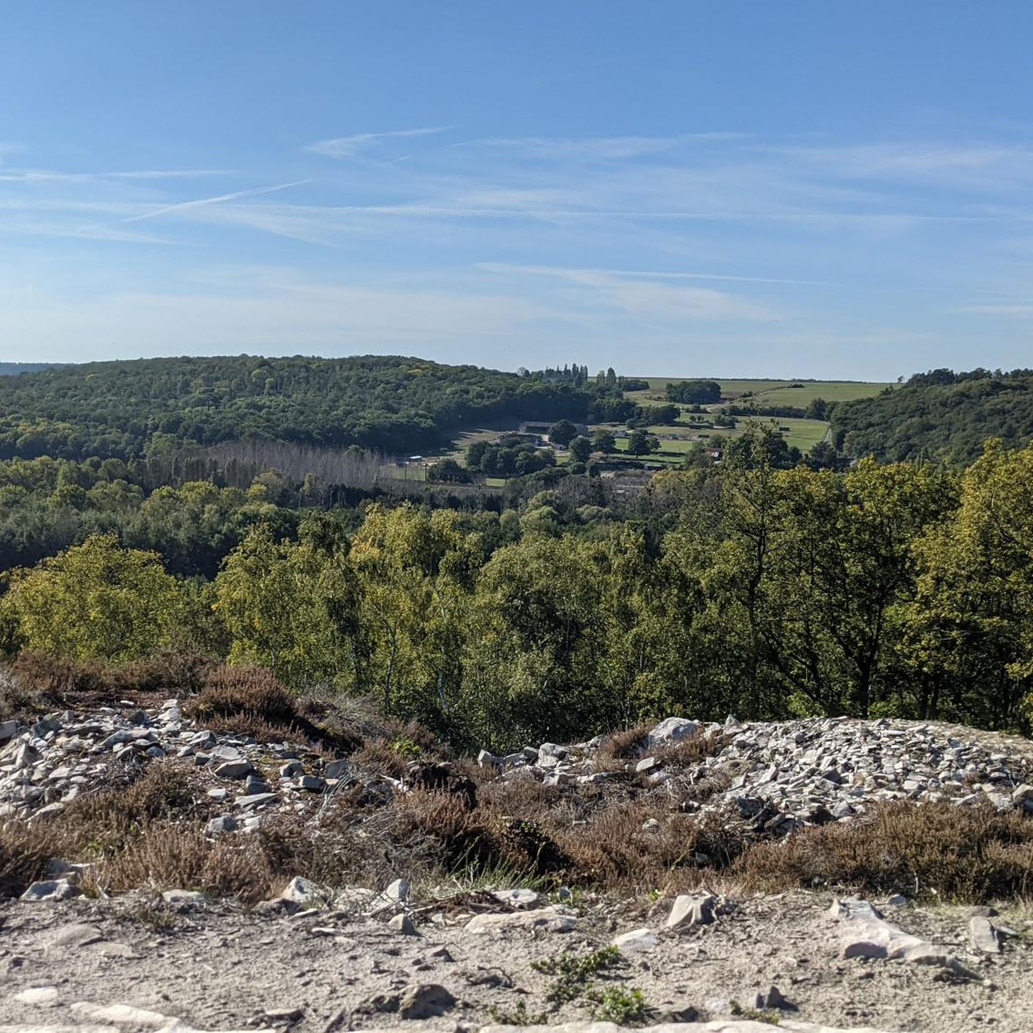
Hiking around Chauffour-Lès-Étréchy offers diverse natural landscapes across the Hurepoix and southern Beauce regions. The area features a mix of plateaus, valleys, fields, and expansive forests, including the Forêt Départementale d'Étréchy. Geological points of interest, such as the Chauffour Quarry with its lacustrine limestones, add unique elements to the terrain. Trails often include ascents and descents, providing varied experiences along river valleys like the Juine and Orge.
Best hiking trails around Chauffour-Lès-Étréchy
- The most popular hiking route is Janville Bridge…
Last updated: July 2, 2026
4.8
(11)
50
hikers
Moderate hike. Good fitness required. Easily-accessible paths. Suitable for all skill levels.
4.5
(24)
61
hikers
8.02km
02:08
90m
90m
Moderate hike. Good fitness required. Easily-accessible paths. Suitable for all skill levels.

Sign up for free
4.6
(9)
45
hikers
Easy hike. Great for any fitness level. Easily-accessible paths. Suitable for all skill levels.
4.7
(13)
40
hikers
19.6km
05:23
320m
320m
Hard hike. Very good fitness required. Easily-accessible paths. Suitable for all skill levels.
4.7
(3)
33
hikers
10.7km
02:58
170m
170m
Moderate hike. Good fitness required. Mostly accessible paths. Sure-footedness required.
Get access to more routes and recommendations from other explorers.
Sign up for free
Already have an account?
Our route recommendations are based on thousands of hikes, rides, and runs completed by other people on komoot.
Start today with a free account
Your next adventure awaits.
Login or Signup
Tips from the Community

Great hike, pretty easy overall. There are 3 small, old difficulties on the Orléans road, cobblestones in all directions and some brambles. The climb to the church of Saint Yon, and the climb along the Bois des Roches path towards the naturist camp also have cobblestones! Well, there's also the 80 km distance. No GPS needed for the last few kilometers.
0
0

nice, varied and easy walk I recommend it for getting your legs moving.
0
0

A classic: bicycles are tolerated there so let's not do just anything!
0
0

The Chamarande estate is listed as a historical monument. The park is open all year round, and you can explore the vast estate along the trails and paths.
0
0

A bridge name like that can't be made up. ;)
0
0

Buildings from the 15th to the 17th centuries. Belonged among others to the Gobelin family of dyers.
0
0

Very pretty little church on the outskirts of the village
0
0

Frequently Asked Questions
How many hiking trails are available in Chauffour-lès-Étréchy?
There are over 270 hiking routes around Chauffour-lès-Étréchy, offering a wide range of options for different skill levels and preferences. These trails explore the diverse landscapes of the Hurepoix and southern Beauce regions.
What kind of landscapes and terrain can I expect on hikes around Chauffour-lès-Étréchy?
The region features a varied topography, including plateaus, valleys, fields, and expansive forests like the Forêt Départementale d'Étréchy. You'll encounter geological points of interest, such as the Chauffour Quarry, and trails often include ascents and descents along river valleys like the Juine and Orge.
Are there any family-friendly hiking options in the area?
Yes, Chauffour-lès-Étréchy offers several easy routes suitable for families. For example, the View of Château de Courances – Chamarande Castle and Park loop from Chamarande is an easy 4.8-mile (7.7 km) path that explores local heritage sites and is generally completed in under 2 hours.
Can I bring my dog on the hiking trails?
Many trails in the Chauffour-lès-Étréchy area are dog-friendly, especially those through the Forêt Départementale d'Étréchy. It's always recommended to keep your dog on a leash and respect local regulations, particularly in nature reserves or near agricultural areas.
Are there circular hiking routes available?
Yes, many of the hiking routes in Chauffour-lès-Étréchy are circular, allowing you to start and end at the same point. An example is the Janville Bridge over the Juine River – La Pierre Levée Dolmen loop from Chamarande, which is a moderate 9.5-mile (15.4 km) trail featuring river views and historical landmarks.
What interesting landmarks or natural features can I see along the hiking trails?
Hikers can explore diverse attractions. The Trévoix Pond offers tranquil scenery, while the Saint-Sulpice Church of Saint-Sulpice-de-Favières is a notable historical site. The Chauffour Quarry itself is a significant geological site within the Réserve naturelle des Sites Géologiques de l'Essonne, showcasing ancient lacustrine limestones and sand dunes.
Are there any challenging routes for experienced hikers?
Yes, for those seeking a more demanding experience, there are difficult routes available. The La Pierre Levée Dolmen – View of Château de Courances loop from Chamarande is a challenging 12.1-mile (19.5 km) hike with significant elevation changes, offering a rewarding adventure.
What do other hikers enjoy most about the trails in Chauffour-lès-Étréchy?
The trails in Chauffour-lès-Étréchy are highly rated by the komoot community, with an average score of 4.5 stars from over 500 reviews. Hikers often praise the region's diverse landscapes, the mix of forest and open fields, and the well-maintained paths that offer varied experiences.
What is the best time of year to go hiking in Chauffour-lès-Étréchy?
The region is enjoyable for hiking throughout much of the year. Spring and autumn offer pleasant temperatures and vibrant natural colors, especially in the forests. Summer provides longer daylight hours, while winter can offer unique, crisp walks, though some paths might be muddy.
Are there any specific natural reserves or protected areas to explore?
Yes, the Chauffour Quarry is located within the Réserve naturelle des Sites Géologiques de l'Essonne, a protected area known for its geological significance. The Forêt Départementale d'Étréchy also provides a rich natural environment with diverse flora and fauna, offering a great opportunity for nature observation.
Can I find routes that explore historical sites or castles?
Absolutely. Many routes incorporate historical elements. For instance, the Joli lavoir – Souzy-la-Briche Castle loop from Souzy-la-Briche is a moderate 4.8-mile (7.7 km) path that allows you to explore local heritage sites, including the castle.
What kind of geological features are prominent in the area?
The Chauffour Quarry is a prime example, showcasing lacustrine limestones that reveal the geological history of the ancient Beauce lake. You can observe various strata, fossilized freshwater organisms, and ancient sand dunes (dunes éoliennes), providing a unique insight into the region's past.
Most popular routes around Chauffour-Lès-Étréchy
Most popular attractions around Chauffour-Lès-Étréchy

Get inspired with the komoot mobile app


Explore more
Browse the best Hikes in other regions.
