The best walks and hikes around Richarville
4.8
(147)
848
hikers
183
hikes
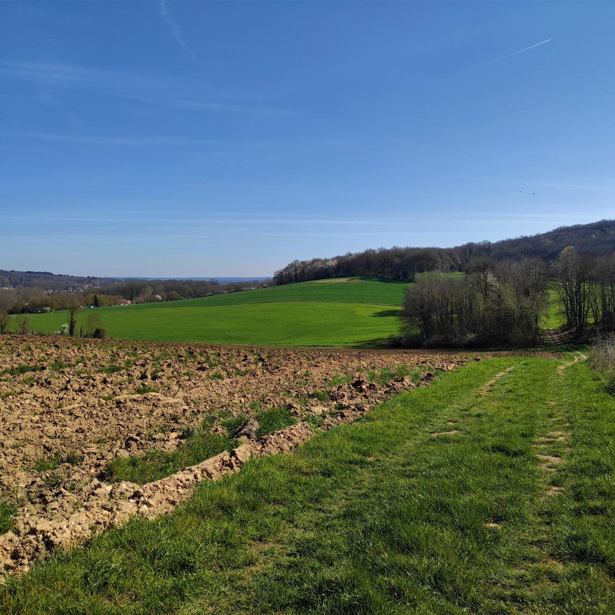
Hiking around Richarville offers a network of trails suitable for various abilities. The region features paths that often lead through forested areas and past historical points of interest, such as abbeys. Elevation changes are generally gentle, indicating a landscape of rolling terrain rather than steep climbs. The trails provide opportunities to explore the local environment on foot.
Best hiking trails around Richarville
- The most popular hiking route is Grillon Trail – Parking des grillons ... loop from Abbaye Notre-Dame de…
Last updated: May 24, 2026
5.0
(2)
34
hikers
Easy hike. Great for any fitness level. Easily-accessible paths. Suitable for all skill levels.
5.0
(2)
16
hikers
11.6km
03:07
140m
140m
Moderate hike. Good fitness required. Easily-accessible paths. Suitable for all skill levels.

Sign up for free
5.0
(4)
10
hikers
14.3km
03:52
190m
190m
Moderate hike. Good fitness required. Easily-accessible paths. Suitable for all skill levels.
7
hikers
9.79km
02:41
160m
160m
Moderate hike. Good fitness required. Easily-accessible paths. Suitable for all skill levels.
4.5
(2)
7
hikers
Moderate hike. Good fitness required. Easily-accessible paths. Suitable for all skill levels.
Get access to more routes and recommendations from other explorers.
Sign up for free
Already have an account?
Our route recommendations are based on thousands of hikes, rides, and runs completed by other people on komoot.
Start today with a free account
Your next adventure awaits.
Login or Signup




Tips from the Community

Until the 18th century, it supplied water to the village of Granges-le-Roi.
0
0

In the heart of the Dourdan national forest, this trail is a space for walking but also for learning. Discover the different species of trees present on the site, admire the flora thanks to the botanical plaques and learn more about the fauna of the forest. Then, have fun in the labyrinth and rest on the tables and benches present along the route. Plan 30 minutes of walking there and back and 30 minutes of discovery. The adapted surface allows the circulation of strollers and wheelchairs, the tables can also accommodate people with reduced mobility. The car park has a space reserved for people with reduced mobility.
0
0

Refurbished parking lot accessible to people with reduced mobility...
0
0
These two oaks seem to have been born together. Magnificent nature...
0
0
Refurbished parking lot. 100% accessible to people with reduced mobility...
0
0
Nice crossroads in the middle of nowhere...
0
0
The Garancières arboretum is home to around thirty tree species over an area of 20,200 m²...
0
0
Frequently Asked Questions
How many hiking trails are available around Richarville?
Richarville offers a comprehensive network of over 180 hiking trails. This includes a wide variety of options, with approximately 90 easy routes and 90 moderate routes, ensuring there's something for every skill level.
Are there any easy, family-friendly hikes in Richarville?
Yes, Richarville has numerous easy trails suitable for families. A great option is the Grillon Trail – Parking des grillons ... loop from Abbaye Notre-Dame de l'Ouÿe. This 4.3-mile (6.9 km) loop is generally flat and winds through local woodlands, making it enjoyable for all ages.
What kind of terrain can I expect on Richarville's hiking trails?
The hiking trails around Richarville are characterized by gentle elevation changes and rolling terrain. You'll primarily find paths through forested areas, with routes often connecting historical points of interest like abbeys. The landscape is generally accessible and not overly strenuous.
Are there any longer hiking trails for more experienced hikers?
For those seeking a longer challenge, the Six Brothers Oak – Carrefour du Caribotin loop from Corbreuse is a good choice. This moderate trail spans about 8.9 miles (14.3 km) and features varied forest sections, offering a more extended exploration of the region.
What historical sites or landmarks can I see while hiking in Richarville?
Many trails in Richarville pass by or lead to interesting historical sites. For instance, the L'Ouye Abbey – The Chilly Fountain loop from Les Granges-le-Roi connects historical sites with natural features. Beyond the trails, you can explore nearby attractions such as the impressive Château de Dourdan or the historic Saint-Germain-d'Auxerre Church of Dourdan.
Are there any circular hiking routes in Richarville?
Yes, many of Richarville's trails are designed as loops, offering convenient starting and ending points. An example is the Carrefour du Caribotin – Six Brothers Oak loop from Corbreuse, which is a 5.4-mile (8.7 km) circular path through forested sections.
What do other hikers say about the trails in Richarville?
The hiking routes in Richarville are highly regarded by the komoot community, holding an average rating of 4.8 stars from over 130 reviews. Hikers often praise the well-maintained paths, the peaceful forested environments, and the gentle nature of the trails, making them enjoyable for various abilities.
Is Richarville suitable for dog-friendly walks?
While specific dog-friendly regulations can vary, the forested and generally gentle nature of Richarville's trails makes many of them suitable for walks with dogs, provided they are kept on a leash and local guidelines are followed. Always check for specific signage on individual routes.
What is the best time of year to go hiking in Richarville?
Given the region's forested character and gentle terrain, hiking in Richarville is enjoyable across multiple seasons. Spring and autumn offer pleasant temperatures and beautiful foliage, while summer provides lush greenery. Even in winter, the trails can be accessible, though conditions may vary.
Are there any viewpoints or scenic spots along the trails?
The trails often lead through picturesque woodlands and past historical features. While there aren't specific 'mountain viewpoints' due to the gentle terrain, the routes offer scenic beauty through their natural settings and glimpses of local landmarks. For example, the The Chilly Fountain – Six Brothers Oak loop from Les Granges-le-Roi combines natural beauty with points of interest.
Do I need any permits to hike in Richarville?
Based on available information, there are no specific permits required for general hiking on the public trails around Richarville. However, it's always advisable to respect private property and any posted local regulations.
Most popular routes around Richarville
Most popular attractions around Richarville

Get inspired with the komoot mobile app


Explore more
Browse the best Hikes in other regions.
