
The best running trails around Montilliers
4.6
(35)
621
runners
148
runs
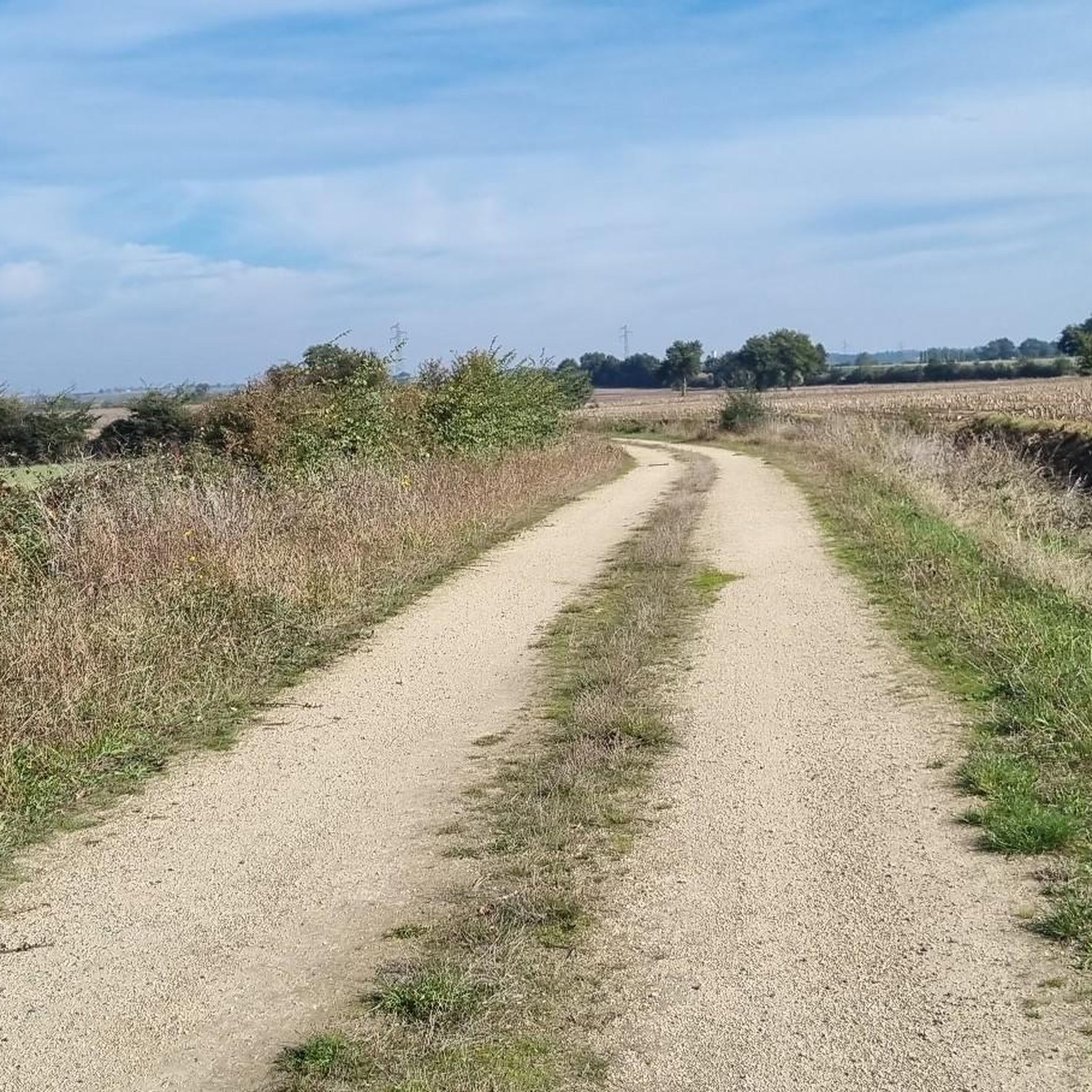
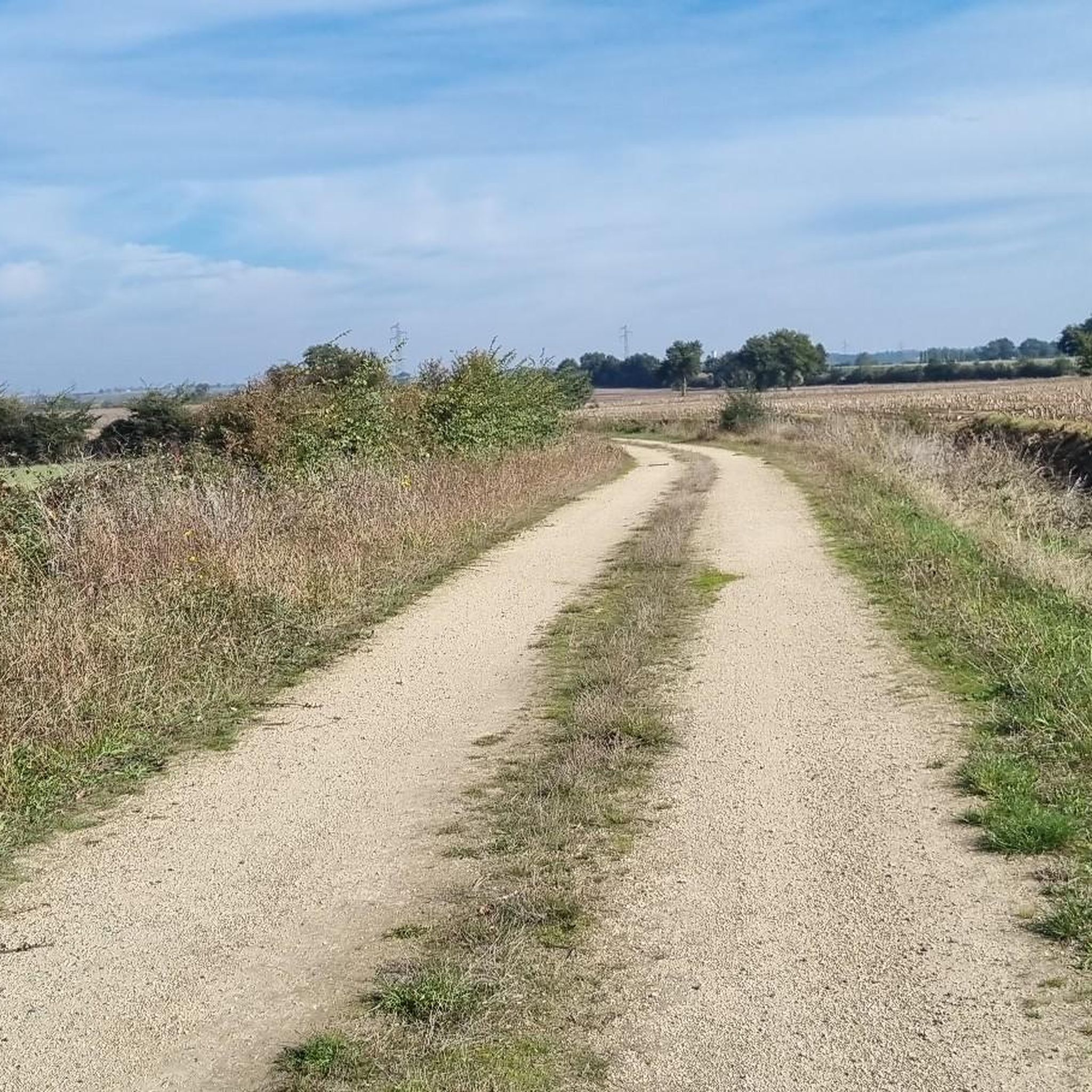
Jogging routes around Montilliers, France, traverse a landscape characterized by hedged farmland, lush vineyards, and serene riverbanks within the Maine-et-Loire department. The region offers varied natural features, including rolling hills and forests, providing diverse terrain for runners. Joggers can also encounter historical elements such as ancient slate quarries and traditional schist houses along established paths. This area, near the Loire-Anjou-Touraine Regional Natural Park, benefits from well-maintained natural spaces ideal for outdoor pursuits.
Best jogging routes around Montilliers
- The most popular…
Last updated: July 3, 2026
4.8
(6)
28
runners
8.61km
00:59
100m
100m
Moderate run. Good fitness required. Mostly paved surfaces. Suitable for all skill levels.
6
runners
12.1km
01:18
120m
120m
Moderate run. Good fitness required. Mostly paved surfaces. Suitable for all skill levels.

Sign up for free
4
runners
6.99km
00:44
50m
50m
Moderate run. Good fitness required. Mostly paved surfaces. Suitable for all skill levels.
5.0
(1)
5
runners
8.39km
00:55
90m
90m
Moderate run. Good fitness required. Mostly paved surfaces. Suitable for all skill levels.
4
runners
8.92km
01:00
60m
60m
Moderate run. Good fitness required. Mostly paved surfaces. Suitable for all skill levels.
Get access to more routes and recommendations from other explorers.
Sign up for free
Already have an account?
Our route recommendations are based on thousands of hikes, rides, and runs completed by other people on komoot.
Start today with a free account
Your next adventure awaits.
Login or Signup


Frequently Asked Questions
How many running routes are available around Montilliers?
Montilliers offers a wide selection of running routes, with over 130 options available on komoot. These routes cater to various fitness levels, including easy, moderate, and difficult paths.
What kind of scenery can I expect while jogging in Montilliers?
Jogging in Montilliers provides a diverse natural backdrop. You'll traverse hedged farmland, lush vineyards, and serene riverbanks. The region is characterized by rolling hills and forests, offering a rich tapestry of scenery. You might also encounter historical elements such as ancient slate quarries and traditional schist houses.
Are there any easy running routes suitable for beginners in Montilliers?
Yes, Montilliers has several easy running routes perfect for beginners. There are 9 routes specifically classified as easy, allowing for a gentle introduction to the area's beautiful landscapes.
Are there any circular running routes in Montilliers?
Many of the running paths around Montilliers are circular, offering convenient loops that bring you back to your starting point. For example, the Running loop from Montilliers is a popular circular option directly from the commune.
What do other runners say about the trails in Montilliers?
The running routes in Montilliers are highly regarded by the komoot community, boasting an average rating of 4.6 stars from over 30 reviews. Runners often praise the varied terrain, the scenic views of vineyards and forests, and the well-maintained natural spaces.
Are there any running routes that pass by historical landmarks or points of interest?
Yes, the region around Montilliers is rich in history. Routes like the Château de Maupassant loop from Vihiers offer views of local landmarks. You can also expect to encounter ancient slate quarries and traditional schist houses along various paths, adding a cultural dimension to your run.
What is the longest running route available in the Montilliers area?
For those seeking a longer challenge, the Étang du Lys – Château de Maupassant loop from Vihiers is a difficult 16.4 km (10.2 miles) route. It features significant elevation changes and takes approximately 2 hours to complete.
Can I find running routes with moderate difficulty around Montilliers?
Absolutely. The majority of running routes in Montilliers are classified as moderate, with 117 such options. A popular choice is the Running loop from Vihiers, which is 8.6 km (5.3 miles) long and features gentle elevation changes through the countryside.
What is the best time of year to go jogging in Montilliers?
The diverse landscapes of Montilliers, with its vineyards and forests, make it appealing for jogging throughout much of the year. Autumn, in particular, can be beautiful with changing foliage. However, it's always advisable to check local weather conditions before heading out.
Are there any running routes that feature water bodies or lakes?
Yes, some routes incorporate water features. The Étang du Lys loop from Vihiers is a moderate 12.1 km (7.5 miles) route that takes you around the Étang du Lys, offering pleasant views of the water.
What kind of terrain should I expect on the running trails?
The terrain around Montilliers is quite varied, reflecting the region's natural diversity. You'll encounter paths through rolling hills, alongside vineyards, and within forests. The trails are generally well-maintained, offering a mix of surfaces suitable for running.

Get inspired with the komoot mobile app


Explore more
Browse the best Running Trails & Routes in other regions.
