The best walks and hikes around Anterrieux
4.4
(114)
695
hikers
44
hikes
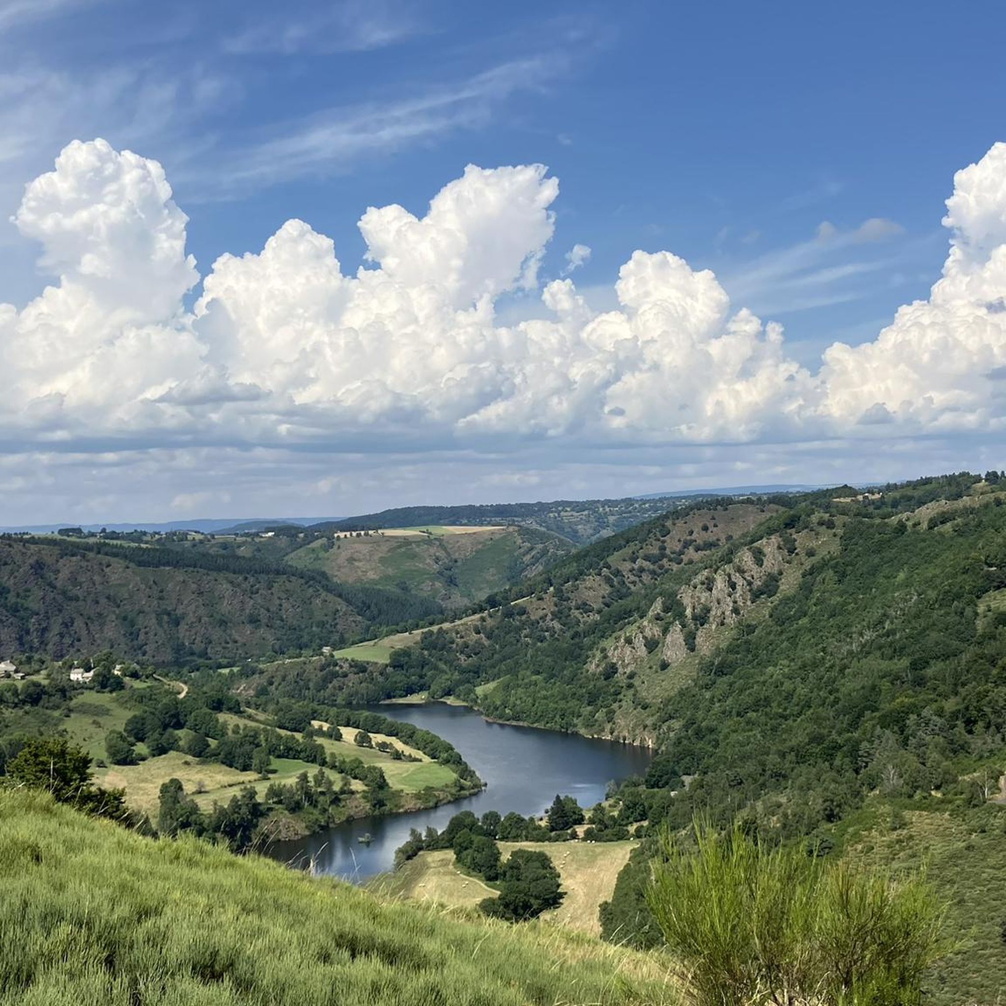
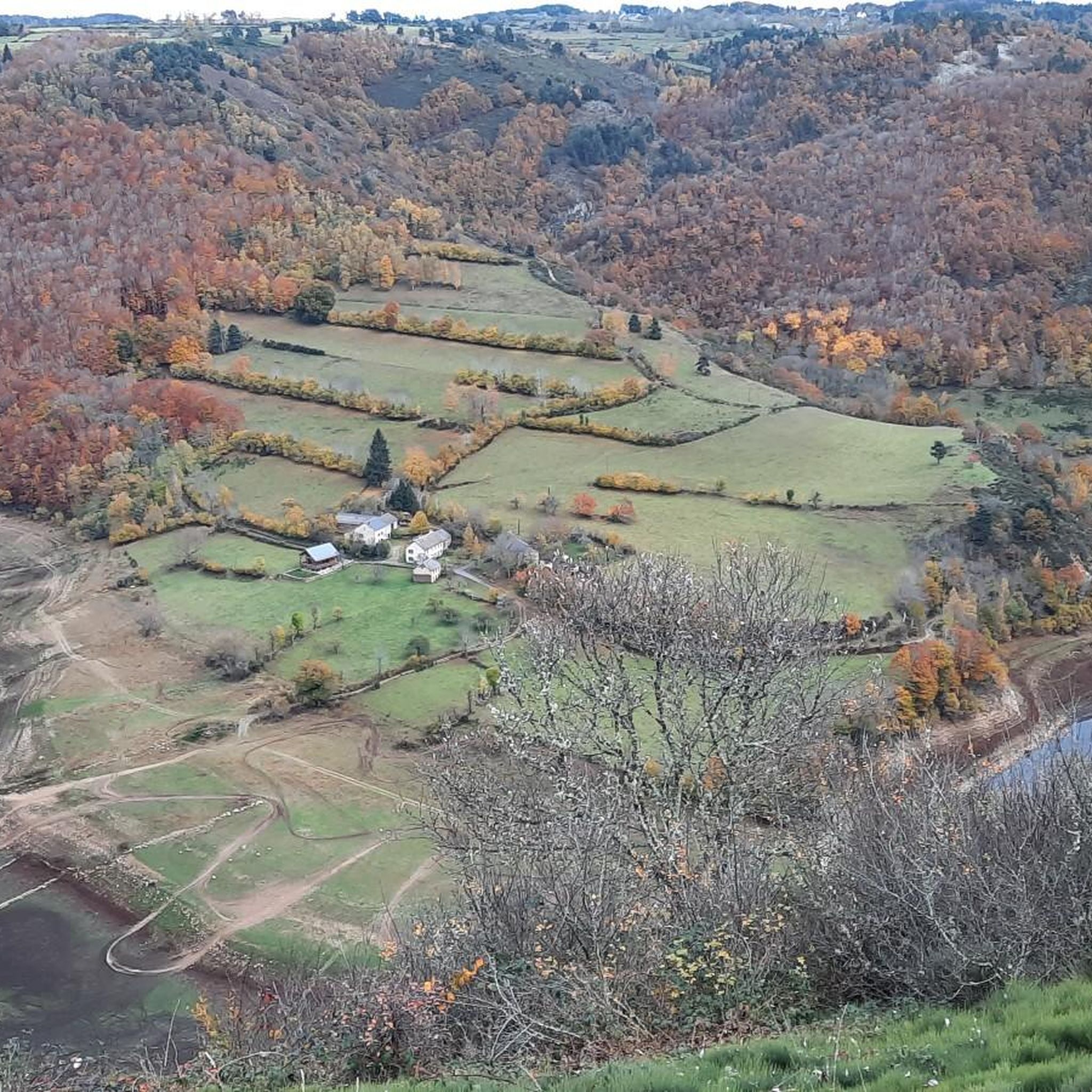
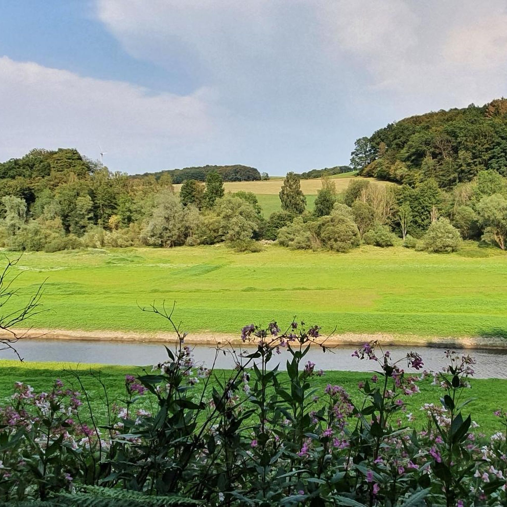
Hiking around Anterrieux offers access to diverse landscapes within France's Cantal department, characterized by mixed forests, farmland, and significant river systems. The region features the Bès and Truyère rivers, which carve out impressive gorges, alongside the expansive Aubrac plateau known for its rugged terrain. Hikers can explore areas ranging from the panoramic views of Puy de la Tuile, a hill offering vistas across multiple departments, to the distinctive volcanic landscapes of the broader Auvergne region.
Best hiking trails around Anterrieux
…Last updated: June 29, 2026
4.8
(25)
200
hikers
Easy hike. Great for any fitness level. Easily-accessible paths. Suitable for all skill levels.
4.5
(6)
19
hikers
8.82km
02:33
240m
240m
Moderate hike. Good fitness required. Easily-accessible paths. Suitable for all skill levels.

Sign up for free
4.6
(8)
27
hikers
20.3km
05:58
570m
580m
Hard hike. Very good fitness required. Easily-accessible paths. Suitable for all skill levels.
4.6
(8)
27
hikers
22.5km
06:42
670m
670m
Hard hike. Very good fitness required. Easily-accessible paths. Suitable for all skill levels.
4.6
(8)
28
hikers
9.14km
02:40
250m
250m
Moderate hike. Good fitness required. Easily-accessible paths. Suitable for all skill levels.
Get access to more routes and recommendations from other explorers.
Sign up for free
Already have an account?
Our route recommendations are based on thousands of hikes, rides, and runs completed by other people on komoot.
Start today with a free account
Your next adventure awaits.
Login or Signup
Tips from the Community

After the crest of the hill the route opens out and becomes very nice.
0
0

Superb village of Juery. The church is open, as in many villages around. A very beautiful spot by the river for a picnic, where the millstones serve as tables.
0
0

Very pretty hike. Be careful when it's hot! Very steep little path with a sheer drop. More significant elevation gain, on another app (+-314m). In my opinion, a walk to be classified as moderate
0
0

CIRCUIT FORBIDDEN TO DOGS even on a leash… an absolute disgrace… we went miles to get here!!! First of all it’s unacceptable on the part of the department and then Komoot, what are you waiting for to clarify that??!!
0
0

Small village on the border of Lozère and Cantal, located on a meander of the Bès. Imposing church and intriguing basalt cross in the heart of the village.
1
0

Very varied landscape. From farmland with cows and grains to impressive valleys with steep rock walls.
0
0

Small church located in the heart of the town, very picturesque on the outside and also on the inside
0
0
Frequently Asked Questions
How many hiking trails are available around Anterrieux?
There are over 40 hiking trails in the Anterrieux area. These routes cater to various fitness levels, with 15 easy trails, 24 moderate options, and 5 more challenging routes for experienced hikers.
Are there easy hiking options suitable for beginners or families in Anterrieux?
Yes, Anterrieux offers 15 easy hiking routes perfect for beginners or families. A great example is The gorges of Bès – loop starting from Morsanges – Aubrac regional natural park, which is 4.1 miles (6.6 km) long and explores the scenic Gorges du Bès.
What kind of landscapes can I expect to see while hiking near Anterrieux?
Hiking around Anterrieux offers a diverse range of landscapes. You'll encounter mixed forests, farmland, and the impressive Gorges du Bès and Truyère rivers. The region also provides access to the vast, rugged expanses of the Aubrac plateau and the distinctive volcanic features of the broader Auvergne region.
Are there any circular hiking routes in Anterrieux?
Many of the trails around Anterrieux are circular, allowing you to start and end at the same point. For instance, Gorges of the Bes loop from Maurines is a popular moderate circular path offering views into the dramatic Gorges du Bès.
What are some notable natural attractions or landmarks to see on a hike?
The region is rich in natural beauty. You can explore the magnificent Gorges of the Bes and the grand Truyère Gorges. The Puy de la Tuile offers expansive panoramic views across multiple departments, and the Aubrac region is known for its serene lakes and waterfalls.
What do other hikers say about the trails in Anterrieux?
The routes in Anterrieux are highly rated by the komoot community, with an average score of 4.4 stars from over 100 reviews. Hikers often praise the varied terrain, the stunning river gorges, and the natural beauty of the Aubrac plateau.
Are there any challenging hikes for experienced hikers in the area?
Yes, for experienced hikers, there are 5 difficult routes. A challenging option is the Fournels Village loop from Chauchailles, an 18.0 miles (29.0 km) trail that typically takes over 8 hours to complete, leading through varied terrain.
Can I combine hiking with exploring local villages or heritage sites?
Absolutely. Many trails in the Anterrieux area lead through charming hamlets, allowing you to discover local heritage. For example, the Fournels Village loop from Chauchailles passes near Fournels Village, and you can also find sites like the Church of Chaudes-Aigues nearby.
What is the best time of year to go hiking in Anterrieux?
The region is beautiful throughout the warmer months, from spring to autumn, when the weather is generally mild and the landscapes are vibrant. Summer offers long daylight hours, while spring and autumn provide pleasant temperatures and fewer crowds. Winter hiking is possible, but some trails might be more challenging due to snow or ice, especially at higher elevations.
Are there any specific trails that follow the Bès river?
Yes, the Bès river carves out magnificent gorges, and several trails follow its course. The Gorges of Bès loop starting from Morsanges and Gorges of the Bes loop from Maurines are excellent choices to experience the stunning scenery along the river.
What are the typical durations for hikes in Anterrieux?
Hike durations vary significantly depending on the route's length and difficulty. Easy trails like The gorges of Bès – loop starting from Morsanges can take under 2 hours, while more challenging routes such as the Fournels Village loop from Chauchailles can require over 8 hours to complete.
Most popular attractions around Anterrieux

Get inspired with the komoot mobile app


Explore more
Browse the best Hikes in other regions.
