The best walks and hikes around Hauville
4.4
(489)
1,912
hikers
143
hikes
Hiking around Hauville offers diverse trails through the Brotonne National Forest and the surrounding Norman countryside. The region features varied terrain, from paths along the Seine River to routes with moderate elevation gains. Hikers can explore woodlands, agricultural areas, and historical sites.
Best hiking trails around Hauville
- The most popular hiking route is Heurteauville–Jumièges Ferry – The Monks' Path loop from Le Landin, a 8.1 miles (13.0 km) trail that takes 3 hours 35 minutes to complete. This route…
Last updated: May 24, 2026
4.8
(5)
17
hikers
13.0km
03:36
210m
210m
Moderate hike. Good fitness required. Easily-accessible paths. Suitable for all skill levels.
4.5
(2)
11
hikers
20.1km
05:27
280m
280m
Hard hike. Very good fitness required. Easily-accessible paths. Suitable for all skill levels.

Sign up for free
5.0
(1)
12
hikers
8.20km
02:12
100m
100m
Moderate hike. Good fitness required. Easily-accessible paths. Suitable for all skill levels.
10
hikers
23.4km
06:01
110m
110m
Hard hike. Very good fitness required. Easily-accessible paths. Suitable for all skill levels.
2
hikers
11.4km
02:58
70m
70m
Moderate hike. Good fitness required. Easily-accessible paths. Suitable for all skill levels.
Get access to more routes and recommendations from other explorers.
Sign up for free
Already have an account?
Our route recommendations are based on thousands of hikes, rides, and runs completed by other people on komoot.
Start today with a free account
Your next adventure awaits.
Login or Signup

Tips from the Community

It's a beautiful experience to cruise the Seine. Occasionally, large ships pass by.
0
0
Great view of the Seine
0
0


A nice relaxed connection across the river and free as usual in France.
1
0

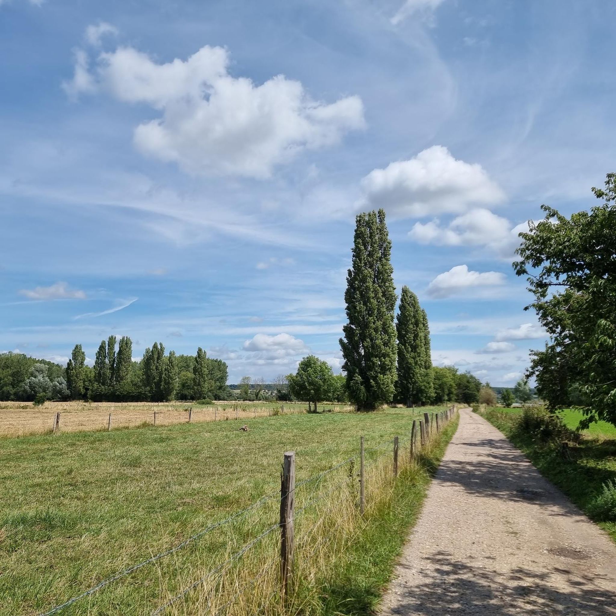
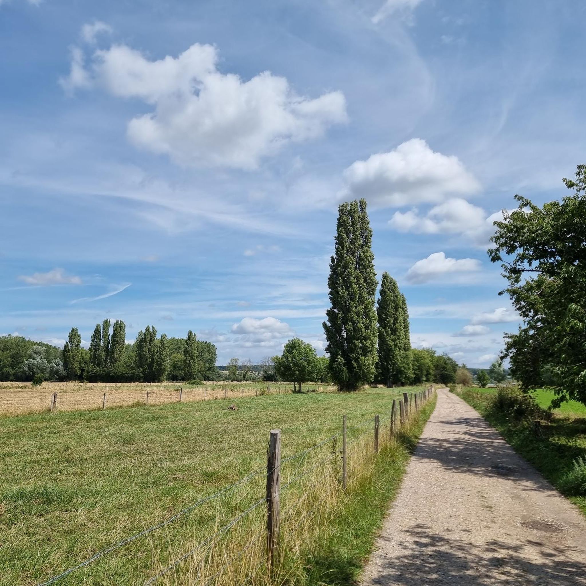
This long forest road, which crosses the national forest of Brotonne. Its perfectly straight and hilly trajectory offers hikers a depth of field that is quite rare in the forest.
1
0
Several ferries along the Seine make it possible to cross the river from one bank to the other, like that of Heurteauville-Jumièges. It welcomes cars, bicycles and pedestrians. Remember to find out about the timetables, by looking at this map (which offers the timetables of all the Seine ferries): https://www.inforoute76.fr/mod_turbolead/getvue.php/48_view.pdf
2
0

Beautiful straight road through Forêt Domaniale de Brotonne
1
0
Frequently Asked Questions
What kind of terrain can I expect on hiking trails around Hauville?
Hiking around Hauville offers varied terrain, primarily through the extensive woodlands of the Brotonne National Forest and the surrounding Norman countryside. You'll find paths along the Seine River, as well as routes with moderate elevation gains, leading through dense forests and agricultural areas.
Are there any challenging hikes in the Hauville area?
Yes, Hauville offers some challenging routes. For instance, the Route forestière de Routon – Brotonne Forest loop from La Haye-de-Routot is a difficult 12.5-mile (20.1 km) trail that typically takes over 5 hours to complete, featuring significant elevation changes within the dense forest. Another difficult option is the Moulin de Hauville loop from Routot, which spans over 14.5 miles (23.3 km).
What are the best trails for a moderate hike?
For a moderate experience, consider the Route forestière de Routon loop from La Haye-de-Routot, a 5.1-mile (8.2 km) path through tranquil woodlands. Another popular moderate option is the Heurteauville–Jumièges Ferry – The Monks' Path loop from Le Landin, which combines river views with forested sections over 8.1 miles (13.0 km).
Are there any circular walking routes in Hauville?
Yes, many of the popular routes around Hauville are circular. Examples include the Heurteauville–Jumièges Ferry – The Monks' Path loop from Le Landin and the Route forestière de Routon loop from La Haye-de-Routot, both offering convenient starting and ending points.
What natural features or landmarks can I see while hiking near Hauville?
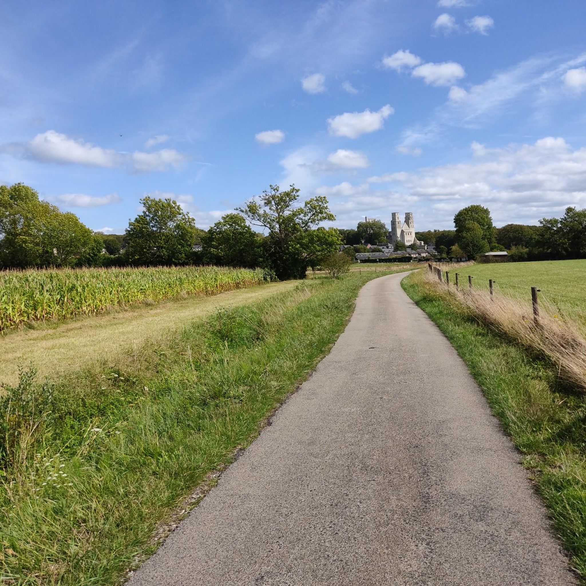
The region is rich in natural beauty, particularly within the Brotonne National Forest. You'll encounter extensive woodlands and paths along the Seine River. For historical landmarks, you can explore attractions like the Ruins of Jumièges Abbey or the Saint-Thomas-Becket Chapel, which are accessible from some routes or nearby.
What do other hikers enjoy most about the trails in Hauville?
The trails in Hauville are highly rated by the komoot community, with an average score of 4.4 stars from over 400 reviews. Reviewers often praise the quiet woodlands of the Brotonne Forest, the varied elevation profiles, and the scenic river views, especially along routes near the Seine.
Are there family-friendly hiking options around Hauville?
While specific 'easy' family routes aren't detailed, the area offers a range of difficulty levels. With 56 easy routes available, you can find shorter, less strenuous paths suitable for families. Look for routes with minimal elevation gain and shorter distances for a pleasant family outing.
Is it possible to hike with dogs on the trails in Hauville?
Many trails in the Brotonne National Forest and surrounding areas are generally dog-friendly, but it's always advisable to check local signage for specific restrictions, especially concerning nature reserves or private lands. Keeping your dog on a leash is recommended for their safety and to protect local wildlife.
What is the best time of year to go hiking in Hauville?
The best time to hike in Hauville is typically during spring, summer, and early autumn. These seasons offer pleasant weather for exploring the woodlands and river paths. Spring brings blooming flora, while autumn showcases beautiful fall foliage in the Brotonne National Forest.
Are there options for parking near the trailheads in Hauville?
Yes, for many popular trailheads, especially those leading into the Brotonne National Forest or starting from villages like La Haye-de-Routot, you will typically find designated parking areas. It's always a good idea to check the specific route details on komoot for parking information at your chosen starting point.
How many hiking trails are available in the Hauville area?
There are over 145 hiking trails available around Hauville, offering a wide variety of options for different skill levels and preferences. This includes 56 easy routes, 84 moderate routes, and 5 more difficult trails.
Can I find trails that offer views of the Seine River?
Yes, several trails in the Hauville area provide scenic views of the Seine River. The Heurteauville–Jumièges Ferry – The Monks' Path loop from Le Landin is a prime example, combining river vistas with forested sections.
Most popular attractions around Hauville

Get inspired with the komoot mobile app


Explore more
Browse the best Hikes in other regions.
