The best walks and hikes around Aschenhausen
4.6
(2620)
8,693
hikers
389
hikes
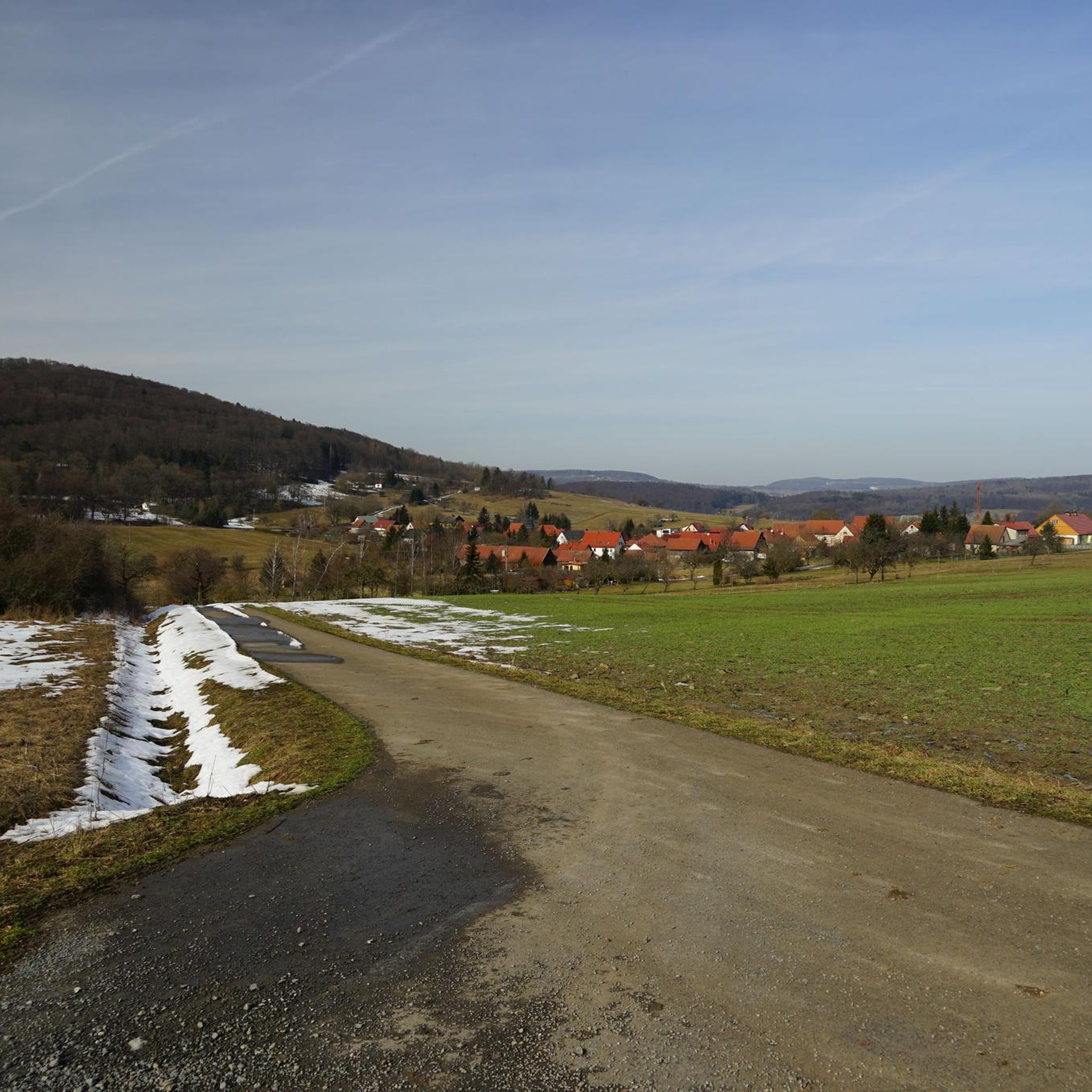
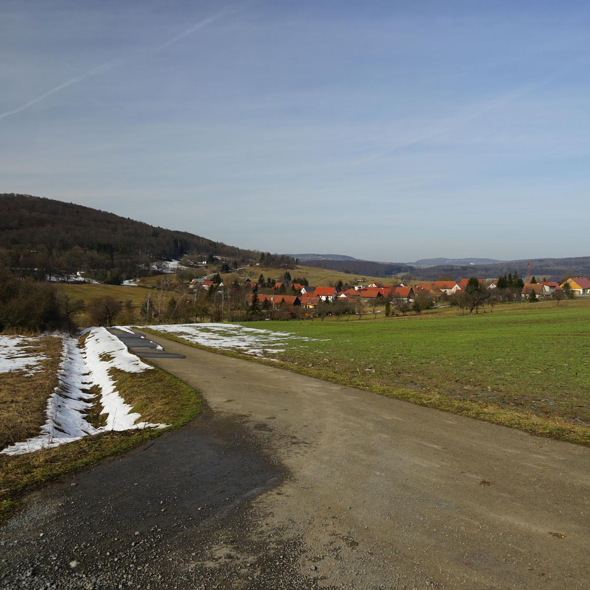
Hiking around Aschenhausen offers diverse natural features within the picturesque Rhön landscape, a low mountain range in Thuringia, Germany. The region is characterized by rolling hills, expansive views, and well-maintained trails. Elevated areas like the Ellenbogen, at 745 meters, provide panoramic vistas, while natural monuments and the nearby Black Moor add varied ecological experiences.
Best hiking trails around Aschenhausen
- The most popular hiking route is Family hiking trail Schäferweg – with the kids in the Rhön, a 3.1 miles…
Last updated: July 4, 2026
4.8
(24)
70
hikers
5.05km
01:29
150m
140m
Moderate hike. Great for any fitness level. Mostly accessible paths. Sure-footedness required.
4.3
(3)
11
hikers
13.0km
03:41
270m
270m
Hard hike. Good fitness required. Sure-footedness, sturdy shoes and alpine experience required.

Sign up for free
4.0
(2)
7
hikers
14.2km
04:12
400m
400m
Hard hike. Good fitness required. Sure-footedness, sturdy shoes and alpine experience required.
4.0
(5)
25
hikers
Easy hike. Great for any fitness level. Easily-accessible paths. Suitable for all skill levels.
4.8
(11)
17
hikers
8.98km
02:30
170m
170m
Moderate hike. Good fitness required. Easily-accessible paths. Suitable for all skill levels.
Get access to more routes and recommendations from other explorers.
Sign up for free
Already have an account?
Our route recommendations are based on thousands of hikes, rides, and runs completed by other people on komoot.
Start today with a free account
Your next adventure awaits.
Login or Signup
Tips from the Community

Well, there are better stamp points.
2
0
This is a great stamp point.
3
0

A small, cozy cabin that is open all year round.
0
0

Don't forget sunscreen before going to sleep 🦀 🦀 🦀
0
0

and stamps - you have to have been here ;-)
0
0

Beautiful landscape that we wouldn't have discovered without our stamp addiction.
4
0
The view🫠
8
0
Frequently Asked Questions
How many hiking trails are available around Aschenhausen?
The Aschenhausen area offers a wide variety of hiking experiences, with over 380 trails to explore. These range from easy strolls to more challenging routes, ensuring options for all fitness levels.
Are there easy hiking trails suitable for beginners near Aschenhausen?
Yes, Aschenhausen is well-suited for beginners and those seeking less strenuous walks. There are over 170 easy routes available, many of which offer gentle ascents and scenic views without demanding significant effort. These trails often traverse the picturesque Rhön landscape, providing a pleasant introduction to the region's natural beauty.
What kind of landscapes can I expect to see while hiking in the Aschenhausen region?
Hiking in Aschenhausen immerses you in the diverse and picturesque Rhön landscape, a low mountain range characterized by rolling hills and expansive views. You'll encounter elevated areas like the Ellenbogen, offering panoramic vistas, and unique natural features such as the Noah's Segel Observation Tower. The nearby Black Moor also provides a distinct ecological experience.
Are there any family-friendly hiking routes in Aschenhausen?
Absolutely. The region offers several routes perfect for families. A popular choice is the Family hiking trail Schäferweg – with the kids in the Rhön, a moderate 3.1-mile (5.0 km) trail designed to be enjoyable for all ages, providing a great way to experience the Rhön together.
Can I bring my dog on the hiking trails around Aschenhausen?
Many hiking trails in the Aschenhausen region are dog-friendly, allowing you to enjoy the natural beauty with your canine companion. It's always recommended to keep dogs on a leash, especially in nature reserves or near livestock, and to carry waste bags. Always check specific trail regulations if you have concerns.
Are there circular hiking routes available in Aschenhausen?
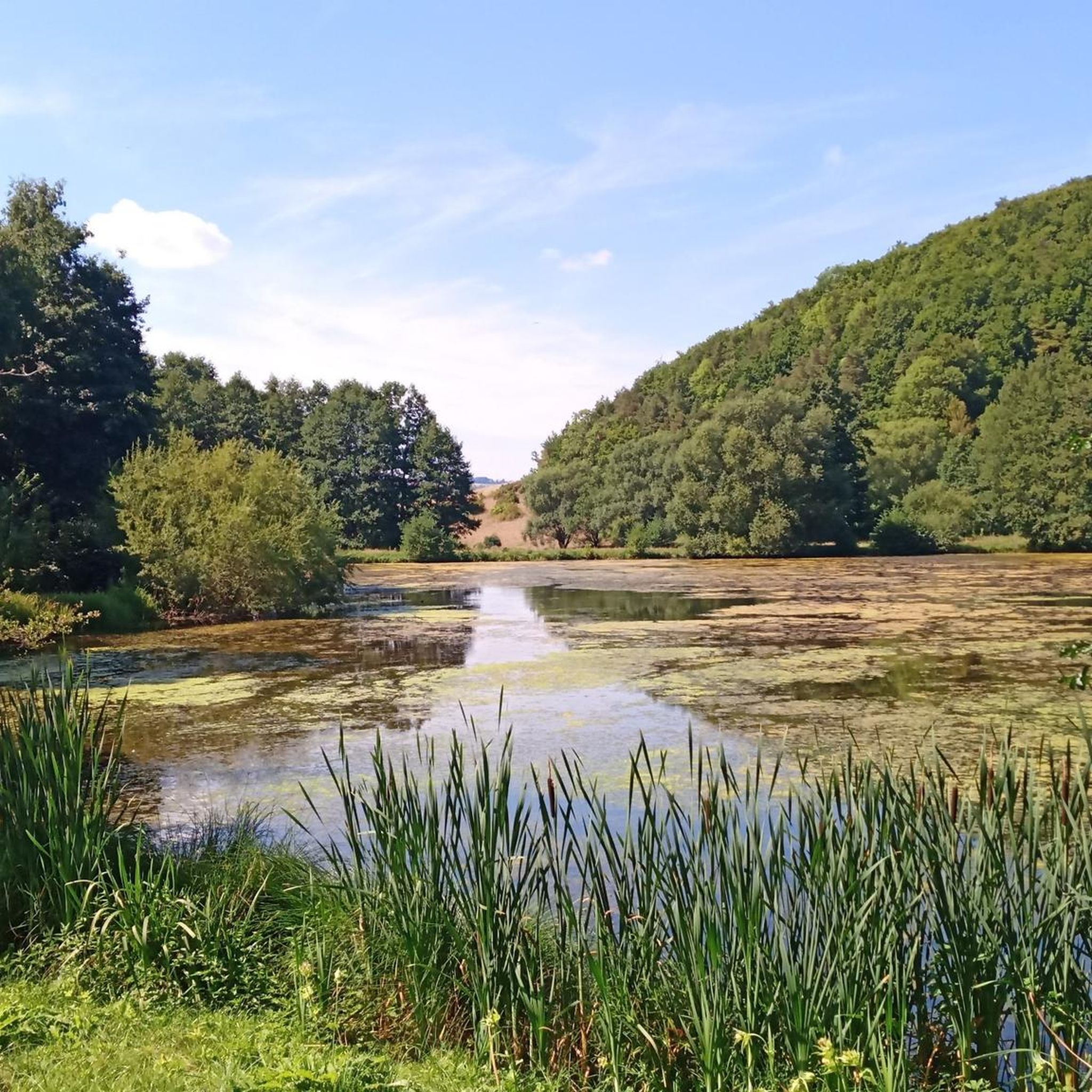
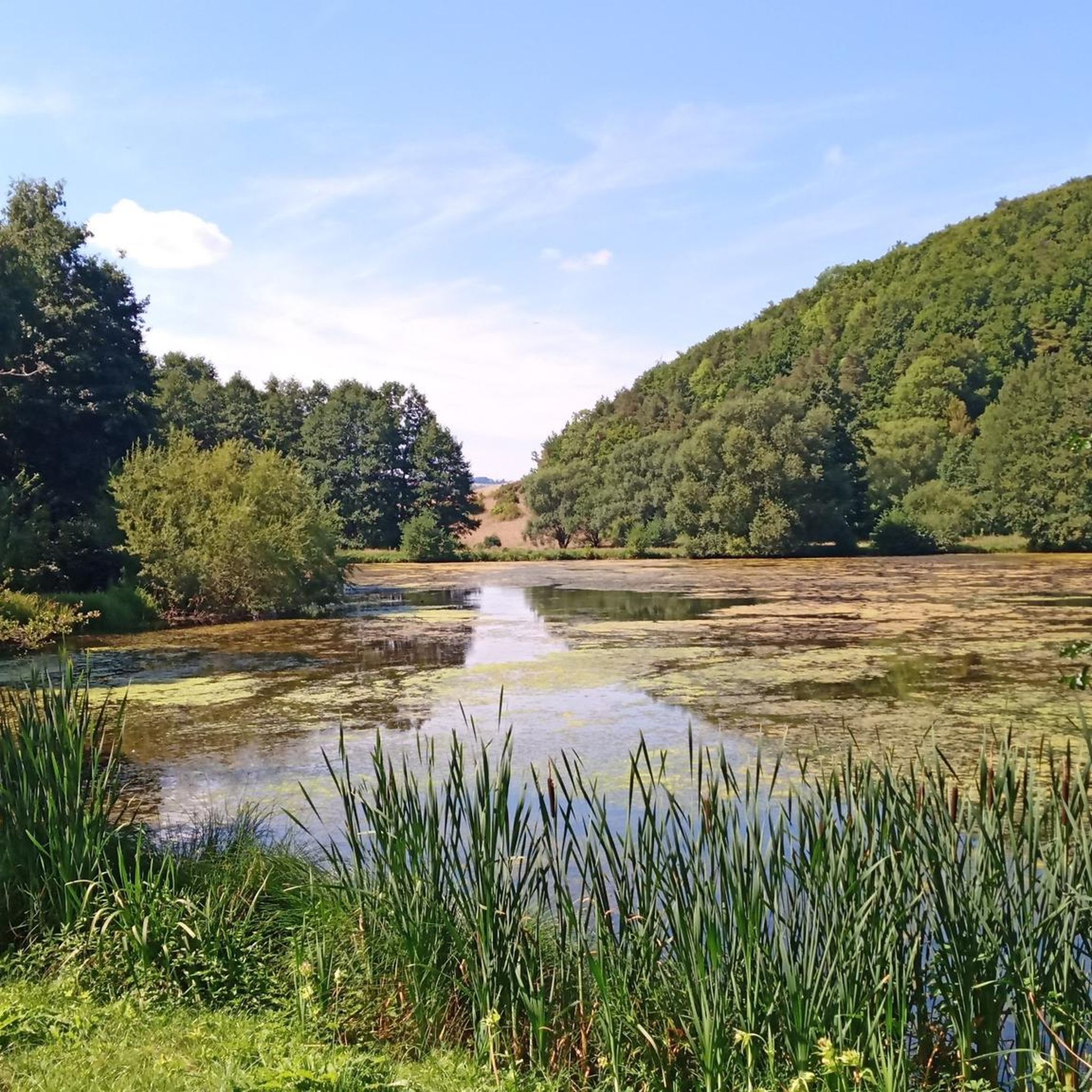
Yes, many of the trails around Aschenhausen are designed as circular routes, allowing you to start and end at the same point without retracing your steps. An example is the Grimmelbach Reservoir – Grimmelbach Reservoir loop from Kaltennordheim, which offers a scenic journey around the reservoir.
What are some notable attractions or landmarks to explore near the hiking trails?
Beyond the natural beauty, you can explore several interesting landmarks. The Grimmelbach Reservoir is a significant natural feature. For historical interest, consider visiting the Geysosche Castle Roßdorf or the Propsteischloss and St. Mary's Assumption Church Zella. The Noah's Segel Observation Tower on the Ellenbogen also provides panoramic views.
What is the best time of year to go hiking in Aschenhausen?
The Rhön region around Aschenhausen is beautiful throughout the year. Spring brings blooming meadows, while summer offers lush greenery and pleasant temperatures. Autumn is particularly scenic with vibrant fall foliage. Even winter can be appealing for snowshoeing or cross-country skiing, though some hiking trails might be less accessible.
Where can I find parking for hiking trailheads in Aschenhausen?
Parking is generally available at key trailheads and popular starting points for hikes around Aschenhausen, including areas near the Ellenbogen and other prominent natural features. Specific parking information can often be found on komoot tour pages or local tourist information boards.
How can I reach the hiking areas around Aschenhausen using public transport?
While Aschenhausen is a village in a rural setting, public transport options exist to connect to the broader Rhön region. For detailed schedules and routes to specific trailheads or starting points like the Ellenbogen, it's advisable to consult local bus service websites or regional transport planners.
Are there places to eat or stay overnight near the hiking trails in Aschenhausen?
Yes, the region caters to hikers with various amenities. The Thuringian Rhönhaus, for instance, is a well-regarded stopover known for its hospitality and traditional local cuisine, strategically located for hikes around the Ellenbogen. You'll also find guesthouses and restaurants in Aschenhausen and surrounding villages.
How long do hikes typically take around Aschenhausen?
Hikes around Aschenhausen vary greatly in length and duration. You can find shorter walks, such as the Family hiking trail Schäferweg, which takes about 1 hour 29 minutes. Longer, more challenging routes, like the Grimmelbach Reservoir loop from Aschenhausen, can take over 3 hours to complete.
What do other hikers say about the trails in Aschenhausen?
The hiking trails around Aschenhausen are highly rated by the komoot community, with an average score of 4.6 stars from over 2,200 reviews. Hikers often praise the well-maintained paths, the stunning panoramic views from elevated points like the Ellenbogen, and the diverse natural scenery of the Rhön landscape.
Most popular attractions around Aschenhausen

Get inspired with the komoot mobile app


Explore more
Browse the best Hikes in other regions.
