The best walks and hikes around Sainte-Austreberthe
4.6
(64)
305
hikers
37
hikes
Hiking around Sainte-Austreberthe offers diverse landscapes, characterized by the Austreberthe river valley and the agricultural plateaus of Pays de Caux. The region features a blend of open fields, forests, and the winding river, providing varied terrain for outdoor activities. Trails often traverse both the relatively flat plateaus and the more undulating river valley.
Best hiking trails around Sainte-Austreberthe
- The most popular hiking route is Saint-Leu Church – La Ternoise loop from Hesdin, a 5.4 miles (8.7 km) trail that…
Last updated: August 19, 2026
4.7
(7)
60
hikers
8.71km
02:24
140m
140m
Moderate hike. Good fitness required. Easily-accessible paths. Suitable for all skill levels.
4.8
(8)
36
hikers
13.2km
03:40
240m
240m
Moderate hike. Good fitness required. Easily-accessible paths. Suitable for all skill levels.

Sign up for free
4.0
(2)
10
hikers
4.81km
01:24
130m
130m
Easy hike. Great for any fitness level. Easily-accessible paths. Suitable for all skill levels.
4.0
(3)
12
hikers
6.78km
01:50
90m
90m
Easy hike. Great for any fitness level. Easily-accessible paths. Suitable for all skill levels.
5.0
(1)
7
hikers
21.6km
05:54
330m
330m
Hard hike. Very good fitness required. Easily-accessible paths. Suitable for all skill levels.
Get access to more routes and recommendations from other explorers.
Sign up for free
Already have an account?
Our route recommendations are based on thousands of hikes, rides, and runs completed by other people on komoot.
Start today with a free account
Your next adventure awaits.
Login or Signup


Tips from the Community


Majestic beech trees and one of the all too rare forests in Hauts-de-France. Numerous walking and hiking opportunities.
1
0
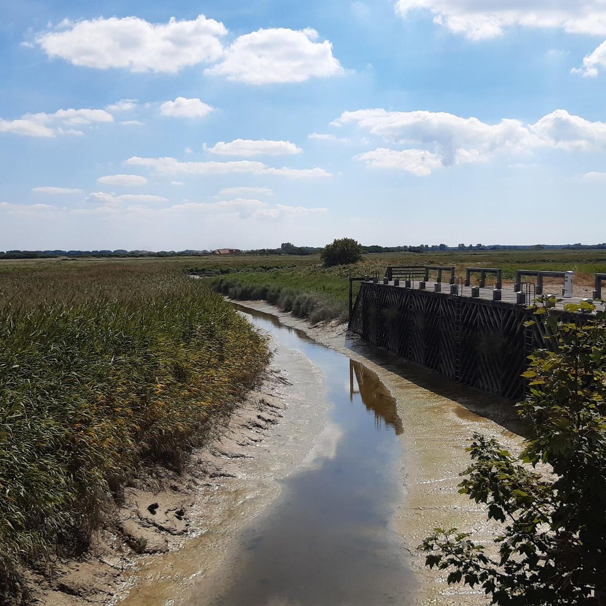
A tributary of the Canche, the Ternoise welcomes walkers, hikers, and fishermen. The path along it is punctuated with information panels about the archaeological excavations and the developments carried out on the site to restore ecological continuity.
1
0
Provide trail shoes in rainy weather
0
0
Frequently Asked Questions
How many hiking trails are available around Sainte-Austreberthe?
There are over 40 hiking routes available around Sainte-Austreberthe. These trails offer a diverse range of experiences, from easy strolls along the river to more challenging treks across the agricultural plateaus.
What kind of terrain can I expect on the hikes in Sainte-Austreberthe?
The terrain around Sainte-Austreberthe is quite varied. You'll find trails traversing the serene Austreberthe river valley, which can be undulating, as well as paths crossing the more open, agricultural plateaus of Pays de Caux. The region offers a mix of open fields, forests, and riverside paths.
Are there family-friendly hiking options in Sainte-Austreberthe?
Yes, Sainte-Austreberthe offers several family-friendly hiking options. There are 19 easy routes, many of which are suitable for families looking for a gentle walk. These often follow the river or pass through charming rural settings, providing accessible outdoor fun.
Can I bring my dog on the hiking trails?
Many trails in Sainte-Austreberthe are suitable for dogs, especially those that traverse the open countryside and riverbanks. However, it's always recommended to keep your dog on a leash, particularly when passing through agricultural areas or near livestock, and to respect local regulations regarding pets in natural spaces.
Are there any circular hiking routes available?
Yes, many of the routes around Sainte-Austreberthe are circular, allowing you to start and end at the same point. For example, the Saint-Leu Church loop from Hesdin-la-Forêt is an easy 4.8 km circular trail that takes you through rural settings.
What natural features or landmarks can I see while hiking?
While hiking, you can explore the picturesque Austreberthe river valley, which is a central natural feature. You might also encounter historical landmarks such as the Cross of Pierre, a classified historical monument, or the Chapel of the Source Sainte-Austreberthe. The region also features extensive agricultural lands, forests, and traditional Norman villages. You can also explore nearby attractions like the Town of Hesdin or the woodland along the banks of the Canche.
What is the best time of year to go hiking in Sainte-Austreberthe?
The best time to hike in Sainte-Austreberthe is generally during spring, summer, and early autumn. These seasons offer pleasant weather for exploring the river valley and plateaus. Spring brings blooming wildflowers, while autumn showcases beautiful foliage. Always check local weather forecasts before heading out.
Where can I park when visiting the hiking trails?
Parking availability varies depending on the specific trailhead. Many routes start from or pass through villages like Hesdin, where public parking is often available. It's advisable to check the starting point of your chosen route for specific parking information.
Is public transport available to access the hiking areas?
While Sainte-Austreberthe is a rural commune, public transport options might be limited. It's recommended to check local bus schedules or consider driving to trailheads. Some areas, like portions of the Austreberthe valley, feature a 'voie verte' (greenway) which can connect various points of interest, but direct public transport to all trailheads may not be extensive.
What do other hikers enjoy most about hiking in Sainte-Austreberthe?
The area is highly rated by the komoot community, with an average score of 4.6 stars from over 50 reviews. Hikers often praise the serene river valley, the blend of open fields and forests, and the well-integrated trails that offer a mix of natural beauty and cultural insights.
Are there any longer, more challenging hikes for experienced hikers?
Yes, for experienced hikers seeking a longer challenge, there are 5 difficult routes available. One such option is the Stream in Cavron-Saint-Martin – Saint-Leu Church loop from Hesdin, a demanding 21.3 km trail with significant elevation changes, offering a comprehensive exploration of the region.
Are there any easy, shorter walks for a quick outing?
Absolutely. If you're looking for a quick and easy walk, there are 19 easy routes to choose from. A good example is the La Ternoise loop from Hesdin, which is a 6.8 km trail that can be completed in about 1 hour 50 minutes, offering a pleasant stroll through the local landscape.
Can I find places to eat or stay near the hiking trails?
Sainte-Austreberthe and its surrounding villages, such as Hesdin, offer options for dining and accommodation. You can find local cafes, restaurants, and guesthouses to refresh and rest after your hikes. It's a good idea to check local listings for specific establishments in the area you plan to visit.
Most popular routes around Sainte-Austreberthe
Most popular attractions around Sainte-Austreberthe

Get inspired with the komoot mobile app


Explore more
Browse the best Hikes in other regions.
