The best walks and hikes around La Valette
4.5
(719)
5,899
hikers
236
hikes
Hiking trails around La Valette offer diverse experiences across mountainous and lacustrine environments. The region features alpine scenery with forests, pastures, and high peaks, providing significant elevation gains and panoramic views. Trails often lead through lush green valleys, past beautiful alpine lakes, and alongside rivers.
Best hiking trails around La Valette
- The most popular hiking route is Perollier Loop Trail – Mount Tabor loop from Villard-Saint-Christophe, an 8.0 miles (12.8 km) trail that takes 5 hours 9 minutes to…
Last updated: July 1, 2026
4.9
(8)
103
hikers
14.1km
06:40
1,020m
1,020m
Hard hike. Very good fitness required. Sure-footedness, sturdy shoes and alpine experience required.
28
hikers
11.7km
05:48
920m
920m
Hard hike. Very good fitness required. Mostly accessible paths. Sure-footedness required.

Sign up for free
5.0
(1)
20
hikers
11.0km
05:02
830m
830m
Hard hike. Very good fitness required. Mostly accessible paths. Sure-footedness required.
5.0
(1)
18
hikers
3.54km
01:23
190m
190m
Hard hike. Great for any fitness level. Sure-footedness, sturdy shoes and alpine experience required.
5
hikers
11.6km
04:32
680m
680m
Moderate hike. Good fitness required. Mostly accessible paths. Sure-footedness required.
Get access to more routes and recommendations from other explorers.
Sign up for free
Already have an account?
Our route recommendations are based on thousands of hikes, rides, and runs completed by other people on komoot.
Start today with a free account
Your next adventure awaits.
Login or Signup
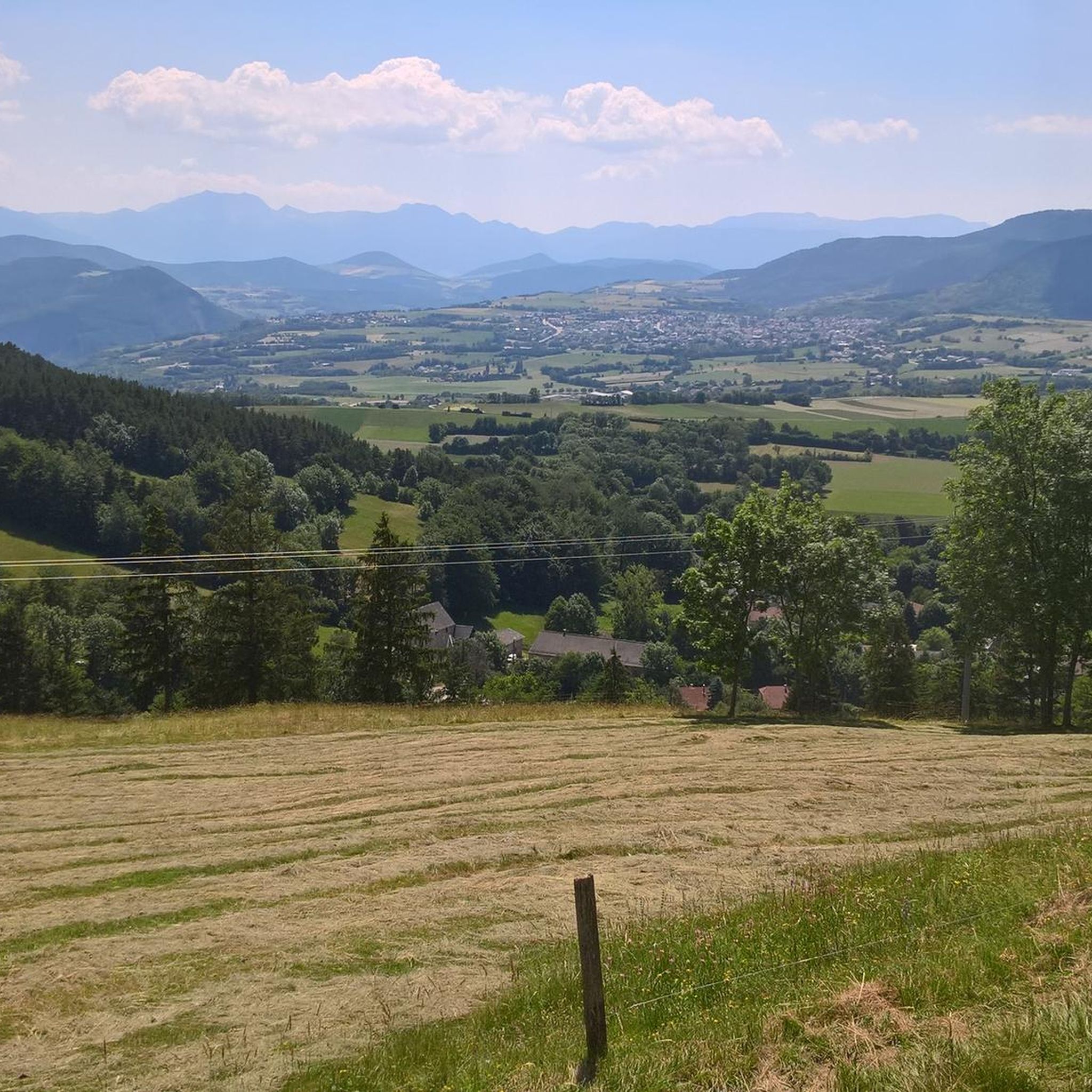
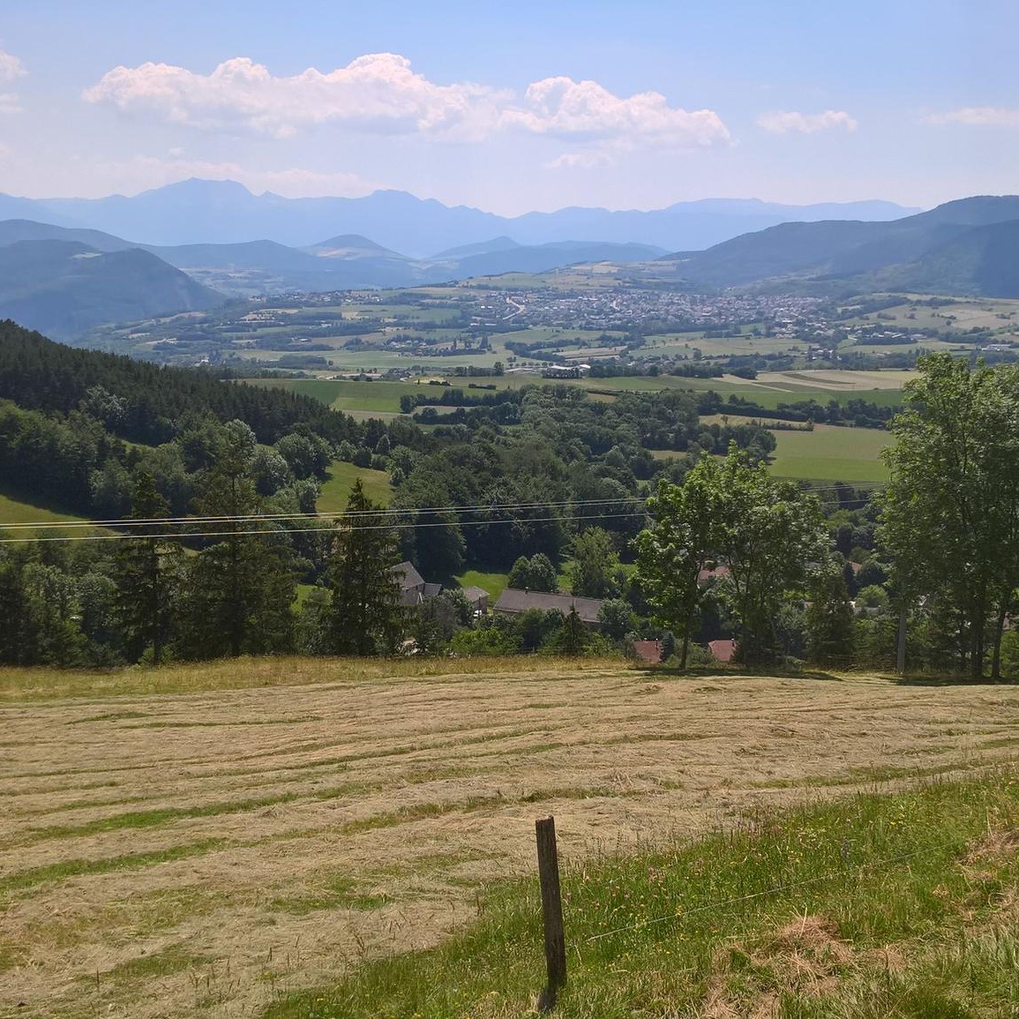
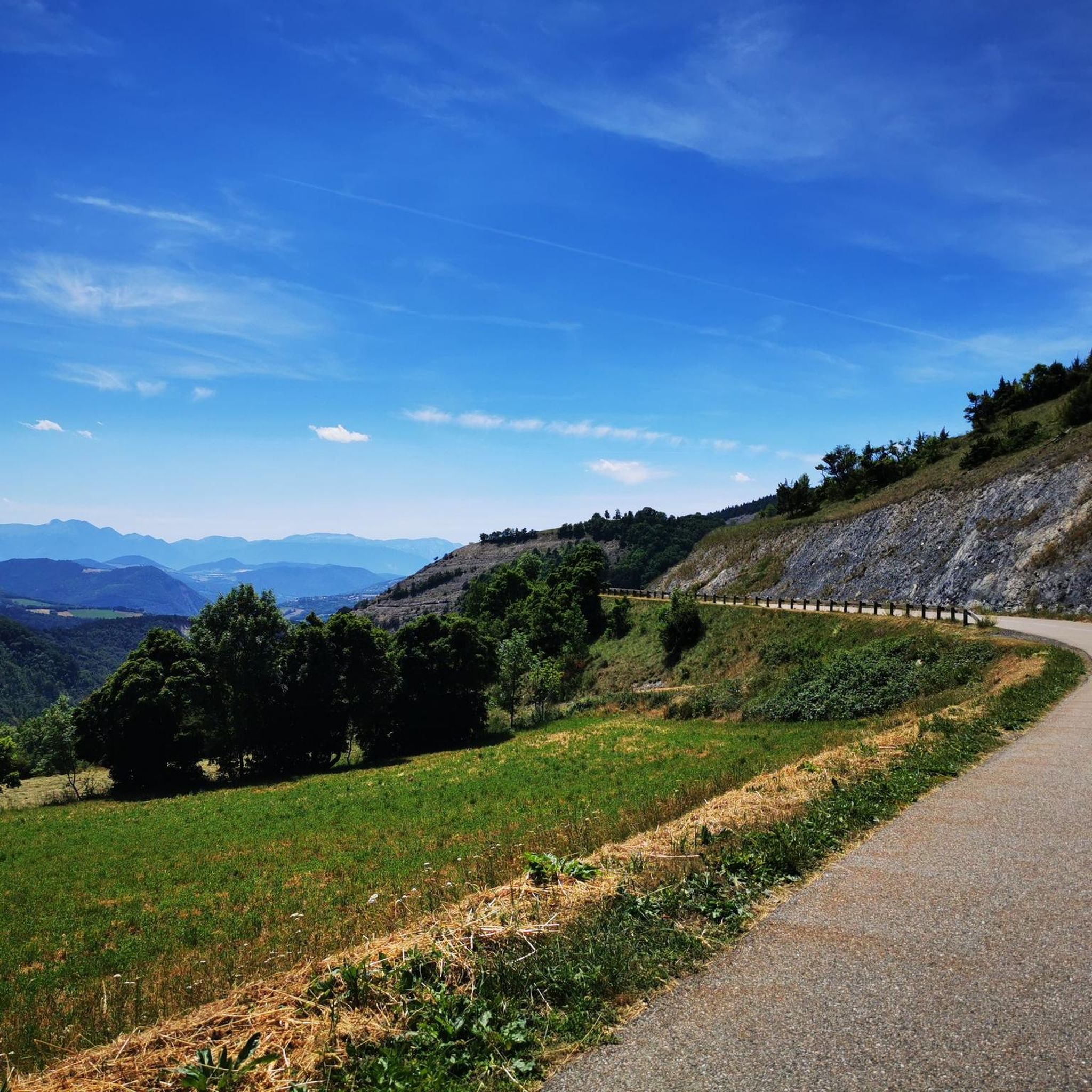


Tips from the Community

It is a pass at the foot of the Piquet de Nantes which offers a very beautiful viewpoint.
0
0
very beautiful ONF cabin open to the public
0
0
Le Rocher Noir is a small summit below the Piquet de Nantes
0
0

Beautiful high altitude lake.
0
0

A vast, grassy ridge top, with spectacular views of neighboring peaks, valleys and lakes. Despite this peak's slightly lower altitude, at 2,214 meters, you'll still get a great mountain feel as you hurtle down the alpine trails and sharp turns.
1
0

I added the SAMBY to avoid a round trip of the existing proposed hike in Visorando Departure in the Undergrowth by a forest track, it climbs well up to the Col du Plan Collet. on the left towards the CAVALE by the long ridge. on the right the SAMBY for the return by a path in the forest. nice view of the OBIOU, the triève, a superb view also of the summit of the Coiro in June, the flora is extraordinary the descent through the small valley all in bloom in JUNE really made you want to venture there I opted for a picnic at the edge of the small torrent using the ends of existing paths the path then is quite visible in the middle of the valley ps: as often by turning around from half of the valley we can clearly see the route when you reach the flat valley, you find old round walls and chamois the path is dotted from here on an old map to join the path of the climb continue the path skirting the hill and following the path sometimes clearly visible, sometimes it disappears some cairns still remain, I straightened them (the lilies of St Bruno dot the meadow) we join the path of the climb of the 1st stop we descend to the Col du Plan Collet
0
0
Frequently Asked Questions
How many hiking trails are available in La Valette?
La Valette offers a wide variety of hiking experiences, with over 225 routes available. These range from easy strolls to challenging ascents, ensuring there's something for every hiker.
What kind of terrain can I expect on hikes around La Valette?
Hikes around La Valette feature diverse terrain, primarily characterized by alpine scenery. You'll encounter forests, alpine pastures, and high peaks, often with significant elevation gains. Many trails also lead through lush green valleys and past serene alpine lakes.
Are there any easy hikes suitable for beginners or families in La Valette?
Yes, La Valette has 43 easy routes perfect for beginners or family outings. While specific easy routes aren't detailed here, the region's diverse network includes paths around lakes and through valleys that are less strenuous. For example, some trails around Lac De La Valette are known to be suitable for family outings.
What are some challenging hikes for experienced trekkers in La Valette?
For experienced trekkers, La Valette offers 49 difficult routes. Notable challenging options include the Perollier Loop Trail – Mount Tabor loop from Villard-Saint-Christophe, an 8.0-mile route with substantial elevation gain, and the Lake Rif-Bruyant – Le Rivobruenti Refuge loop from Le Mollard, an 8.8-mile trail through mountainous landscapes.
Can I find circular hiking routes in La Valette?
Yes, many of the trails in La Valette are designed as circular routes, offering varied scenery without retracing your steps. Examples include the Perollier Loop Trail – Mount Tabor loop from Villard-Saint-Christophe and the Piquet de Nantes loop from La Valette.
Are there any notable viewpoints or natural features to discover on the trails?
Absolutely. The region is rich in natural beauty and offers stunning viewpoints. You can find highlights like Astonishing view of Mont Aiguille and the Tabor Summit 360° Panoramic View. The trails often lead to serene lake views and through lush valleys.
What do other hikers say about the trails in La Valette?
The hiking trails in La Valette are highly rated by the komoot community, with an average score of 4.5 stars from over 700 reviews. Hikers often praise the diverse alpine scenery, the well-maintained paths, and the rewarding panoramic views from the peaks and passes.
Is La Valette a good destination for hiking with dogs?
While specific dog-friendly regulations can vary by trail or protected area, the natural and varied terrain of La Valette, with its forests and open pastures, generally offers many opportunities for hiking with dogs. It's always advisable to check local signage for any restrictions, especially in nature reserves.
What is the best time of year to go hiking in La Valette?
The best time for hiking in La Valette, given its alpine characteristics, is typically from late spring to early autumn (May to October). During these months, the weather is generally milder, and trails are more accessible, offering lush landscapes and clear views. Winter hiking might be possible on lower elevation trails, but higher routes will likely be snow-covered.
Are there any mountain passes I can explore around La Valette?
Yes, the mountainous region around La Valette features several notable mountain passes. You can explore passes like Ornon Pass, Plan Collet Pass, and Parquetout Pass, which often offer challenging ascents and stunning vistas.
What kind of peaks can I see or climb in the La Valette area?
The La Valette area is surrounded by impressive peaks, offering both scenic views and climbing opportunities. Highlights include La Peyrouse and Piquet de Nantes. Many trails lead to summits that provide panoramic views of the surrounding mountains and valleys.
Are there options for public transport to reach hiking trailheads in La Valette?
While specific public transport options to individual trailheads can vary, the region's focus on outdoor activities means that some villages and starting points for popular hikes may be accessible by local bus services. It's recommended to check local transport schedules for the specific trailhead you plan to visit.
Where can I find parking for hiking trails in La Valette?
Many popular trailheads and villages in the La Valette region, especially those serving the more frequented routes, offer designated parking areas. These are often found near visitor centers or at the start of well-known paths. It's advisable to check specific route descriptions or local maps for parking information.
Most popular attractions around La Valette

Get inspired with the komoot mobile app


Explore more
Browse the best Hikes in other regions.
