The best walks and hikes around Revest-Du-Bion
4.5
(389)
2,017
hikers
134
hikes
Hiking around Revest-Du-Bion offers routes through agricultural landscapes, including notable lavender fields, and rolling hills. The region features a mix of open terrain and some forested sections, providing varied scenery for hikers. Trails often follow natural contours, offering views of the surrounding valleys.
Best hiking trails around Revest-Du-Bion
- The most popular hiking route is Fountain with cool water loop from Saint-Trinit, a 9.1 miles (14.6 km) trail that takes 3 hours 54 minutes to complete. This moderate route features…
Last updated: June 25, 2026
4.5
(4)
26
hikers
6.16km
01:46
160m
160m
Easy hike. Great for any fitness level. Easily-accessible paths. Suitable for all skill levels.
4.5
(2)
11
hikers
4.57km
01:24
160m
160m
Easy hike. Great for any fitness level. Easily-accessible paths. Suitable for all skill levels.

Sign up for free
5.0
(1)
5
hikers
10.3km
03:01
290m
290m
Moderate hike. Good fitness required. Easily-accessible paths. Suitable for all skill levels.
8
hikers
7.20km
02:09
240m
240m
Moderate hike. Good fitness required. Easily-accessible paths. Suitable for all skill levels.
5.0
(1)
3
hikers
12.0km
03:27
290m
290m
Moderate hike. Good fitness required. Easily-accessible paths. Suitable for all skill levels.
Get access to more routes and recommendations from other explorers.
Sign up for free
Already have an account?
Our route recommendations are based on thousands of hikes, rides, and runs completed by other people on komoot.
Start today with a free account
Your next adventure awaits.
Login or Signup
Tips from the Community

This Albion plateau is just splendid. There are plenty of passes to do, the roads are pretty and maintained, you can smell the lavender everywhere.
0
0

Pretty pass with a gentle slope, very pleasant to climb.
0
0

From Ferrassières this climb is 5km and 5.5% on average.
1
1

You can climb this climb from Montbrun, Sederon or Sault. This climb is not too steep. Quiet roads
1
0
From that point you have a beautiful view over a plateau (high plains) where a lot of lavender grows. Very nice to visit here in June-July when lavender is in bloom
0
0

Gentle climb in the shadow of Mont Ventoux. You can climb from 3 sides. Accessible from Sault. The highest point is 1219 meters above sea level. Pretty boring scenery.
2
0

The Col de l'Homme Mort is a pass located at an altitude of 1,211 m in the Drôme. It links the upper Toulourenc valley to the Albion plateau by road. Its southern slope, 4.8 km long with a drop of 210 meters, has an average gradient of 4.38%, with passages at a maximum of 6%. The Tour de France took this pass in 1956, during the 16th stage between Aix-en-Provence and Gap.
0
0

A shaft cave where you can't get any further without climbing technique
1
0
Frequently Asked Questions
How many hiking trails are available around Revest-Du-Bion?
There are over 130 hiking trails around Revest-Du-Bion, offering a wide range of options for different skill levels. This includes approximately 57 easy routes, 64 moderate routes, and 9 more challenging trails.
Are there any family-friendly hiking options in Revest-Du-Bion?
Yes, Revest-Du-Bion offers several easy routes suitable for families. An excellent choice is the Lavender Botanical Trail loop from Ferrassières, which is an easy 2.7-mile (4.3 km) path winding through fragrant lavender fields, perfect for a leisurely family walk.
What is the best time of year to go hiking in Revest-Du-Bion?
The best time to hike in Revest-Du-Bion is typically from late spring to early autumn. During late June and July, the lavender fields are in full bloom, offering spectacular scenery and fragrant air. Spring and early autumn provide pleasant temperatures for hiking, avoiding the peak summer heat.
Are there circular hiking routes available?
Yes, many of the trails around Revest-Du-Bion are circular, allowing you to start and end at the same point. Examples include the Fountain with cool water loop from Saint-Trinit and the Revest-du-Bion – Étang de Revest-du-Bion loop from Revest-du-Bion.
What kind of scenery can I expect on the trails?
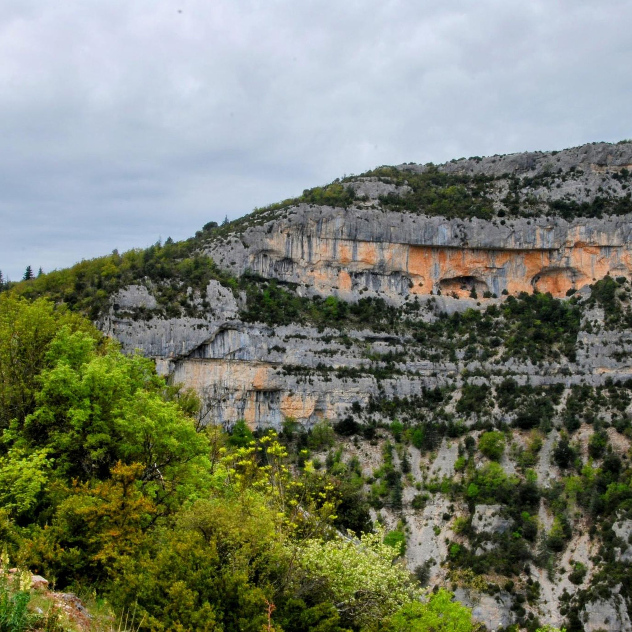
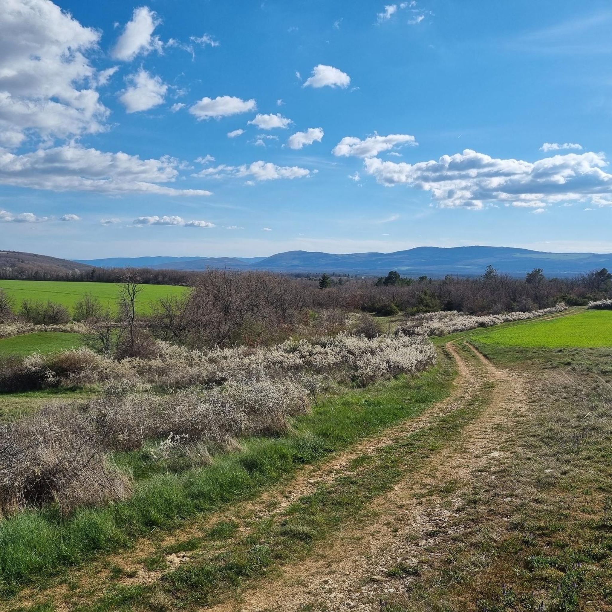
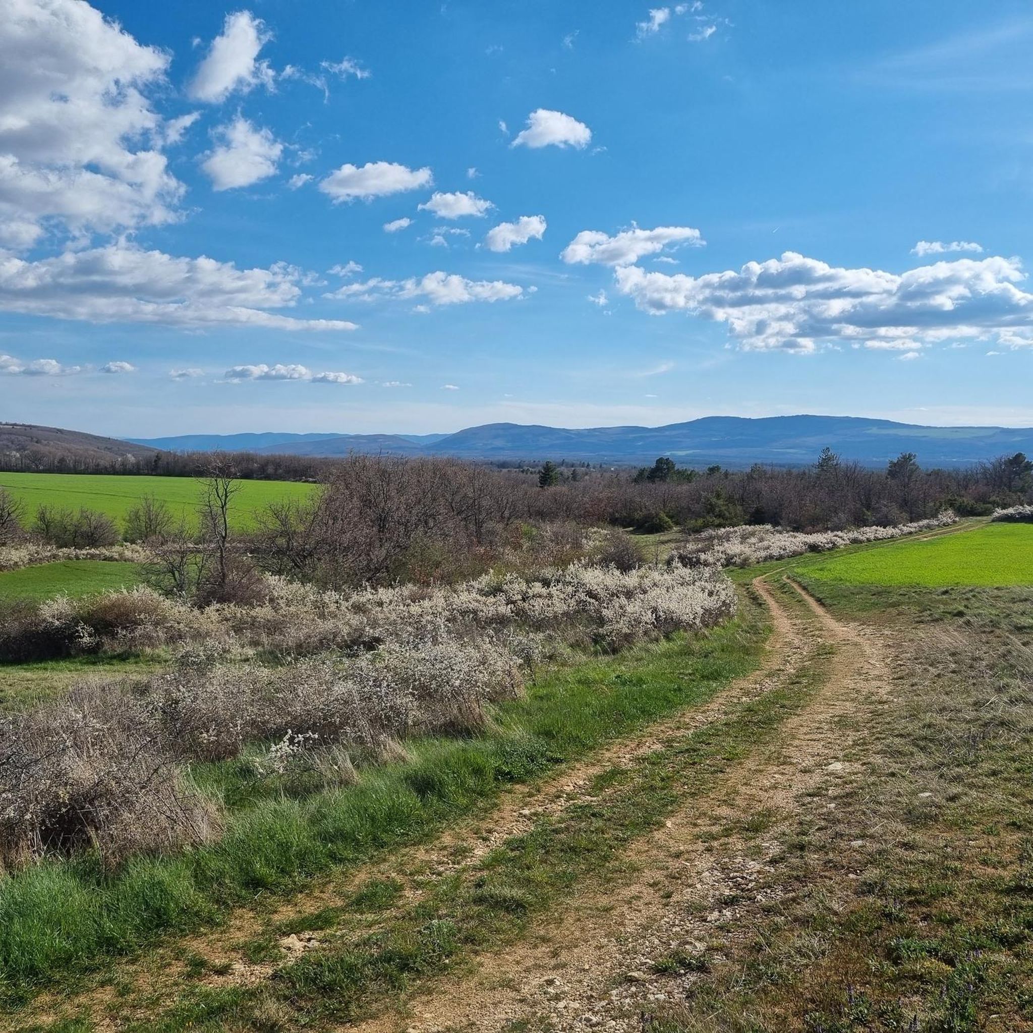
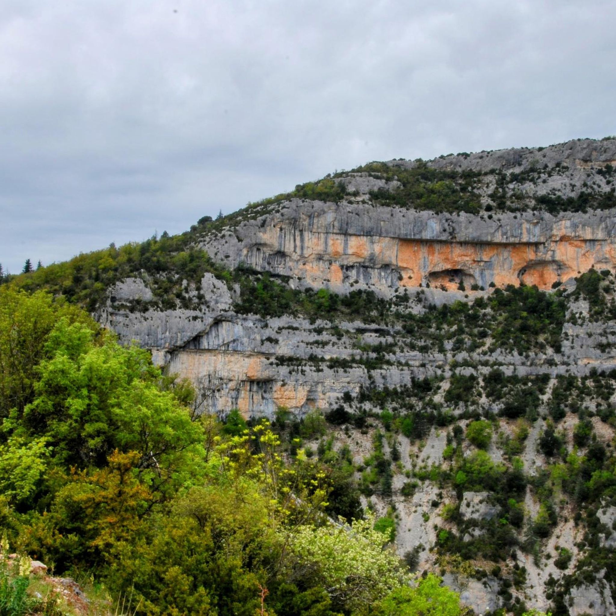
Hiking around Revest-Du-Bion offers diverse scenery, including vast agricultural landscapes, particularly the famous lavender fields, rolling hills, and scenic valleys. You'll also find a mix of open terrain and some forested sections, providing varied views throughout your hike.
Are there any notable landmarks or attractions to see while hiking?
Yes, the region boasts several interesting points. You can explore charming settlements like Sault and Montbrun-les-Bains. The area is also known for its mountain passes, such as Col de l'Homme Mort and Macuègne Pass, which offer panoramic views.
What do other hikers enjoy most about the trails in Revest-Du-Bion?
The trails in Revest-Du-Bion are highly rated by the komoot community, with an average score of 4.5 stars from over 380 reviews. Hikers often praise the stunning lavender fields, the peaceful agricultural landscapes, and the well-maintained paths that offer a good mix of easy and moderate challenges.
Are there any trails that offer views of the Jabron Valley?
Yes, for views of the Jabron Valley, consider the View of the jabron valley loop from Redortiers. This moderate 7.1-mile (11.5 km) route provides excellent vantage points over the valley.
What is the typical duration for hikes in this area?
Hike durations vary significantly depending on the route and your pace. Easy trails like the Lavender Botanical Trail loop from Ferrassières can take around 1 hour 20 minutes, while moderate routes such as the Fountain with cool water loop from Saint-Trinit typically take around 3 hours 54 minutes.
Are there any less crowded hiking trails for a more peaceful experience?
While popular routes can see more visitors during peak season (lavender bloom), many of the 130+ trails offer a sense of solitude. Exploring some of the lesser-known easy or moderate loops away from the main lavender fields can provide a more tranquil hiking experience.
Is public transport available to access hiking trailheads?
Public transport options directly to specific trailheads in the rural Revest-Du-Bion area can be limited. It is generally recommended to have a car for convenient access to the various starting points of the hiking routes.
Most popular routes around Revest-Du-Bion
Most popular attractions around Revest-Du-Bion

Get inspired with the komoot mobile app


Explore more
Browse the best Hikes in other regions.
