The best walks and hikes around Torcé-Viviers-En-Charnie
4.6
(138)
732
hikers
62
hikes
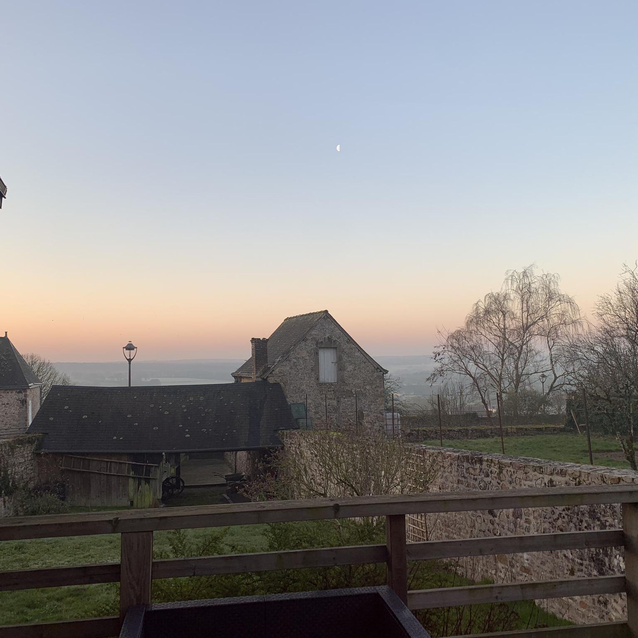
Hiking around Torcé-Viviers-En-Charnie offers a diverse landscape characterized by rolling hills, historical sites, and forested paths. The region features a mix of open countryside, preserved bocage, and the extensive Forêt de la Grande Charnie. Elevation changes are generally moderate, providing accessible routes for various fitness levels. The area also includes the Erve River and historical landmarks like the Château de Bouillé.
Best hiking trails around Torcé-Viviers-En-Charnie
- The most popular hiking route is Trail Around the Medieval City, a 6.1 miles (9.8 km) trail that takes 2 hours 40 minutes to complete. This moderate route explores historical landmarks and scenic paths.
- Another top favourite among local hikers is Devils' Table and Signal des Viviers Loop, a difficult 15.0 miles (24.2 km) path. This trail features significant elevation changes and natural rock formations.
- Local hikers also love the Sainte-Suzanne Castle – The Mills Walk loop from Sainte-Suzanne-et-Chammes, a 6.9 miles (11.1 km) trail leading through historical villages and past a castle, often completed in about 2 hours 58 minutes.
- Hiking around Torcé-Viviers-En-Charnie is defined by historical sites, rolling hills, and varied woodlands. The network offers options for different ability levels, from easy family friendly walks to more challenging routes.
- The routes in Torcé-Viviers-En-Charnie are highly rated by the komoot community with an average score of 4.6 stars from over 100 reviews. More than 700 hikers have used komoot to explore Torcé-Viviers-En-Charnie's varied terrain.
Last updated: July 7, 2026
4.4
(5)
21
hikers
9.83km
02:41
140m
140m
Moderate hike. Good fitness required. Easily-accessible paths. Suitable for all skill levels.
24.2km
06:31
320m
320m
Hard hike. Very good fitness required. Easily-accessible paths. Suitable for all skill levels.

Sign up for free
4.3
(7)
53
hikers
6.93km
01:52
90m
80m
Easy hike. Great for any fitness level. Easily-accessible paths. Suitable for all skill levels.
4.9
(11)
34
hikers
Moderate hike. Good fitness required. Easily-accessible paths. Suitable for all skill levels.
4.9
(9)
41
hikers
Moderate hike. Good fitness required. Easily-accessible paths. Suitable for all skill levels.
Get access to more routes and recommendations from other explorers.
Sign up for free
Already have an account?
Our route recommendations are based on thousands of hikes, rides, and runs completed by other people on komoot.
Start today with a free account
Your next adventure awaits.
Login or Signup



Tips from the Community

The town belongs to the group "Most Beautiful Places in France" and "Small Towns with Character".
1
0


The castle of Sainte-Suzanne dates from the 11th century and holds the record of being the only stronghold that William the Conqueror could not defeat.
2
0
The hike from town to see the Chateau de Sainte-Suzanne is well worth the effort and your just reward is that magnificent view.
2
0
The Signal des Viviers is the highest peak in the Grande-Charnie forest with 290m. A nice goal for all the peak baggers that you are. No photography is available, I would like to see what the view looks like from this summit.
2
0
The Grande-Charnie forest is a state forest of deciduous and coniferous trees. It is classified as a Natural Area of Ecological, Floristic and Faunistic Interest, so it was with surprise that a quarry project was proposed within the forest in 2009. Fortunately, mobilization of the local community made it possible to fight with success for his abandonment.
2
0
This dolmen is a curiosity. Balanced on a much larger boulder, the top slab rests on a smaller boulder - but was it man-made or nature-placed there?
2
0

Good views from the opposite mountain
0
0
Frequently Asked Questions
How many hiking trails are available around Torcé-Viviers-En-Charnie?
There are over 60 hiking routes in the Torcé-Viviers-En-Charnie region, offering a wide variety of options for all skill levels.
Are there easy or family-friendly hiking trails in Torcé-Viviers-En-Charnie?
Yes, the region offers 35 easy routes suitable for families and beginners. A great option is the Sainte-Suzanne Castle – The Mills Walk loop from Sainte-Suzanne-et-Chammes, which is 3.1 miles (4.9 km) long and takes about 1 hour 20 minutes to complete.
What kind of historical sites can I explore while hiking in this area?
The region is rich in history. Many trails pass by significant landmarks such as the impressive Sainte-Suzanne Castle, often referred to as one of France's most beautiful villages. You can also discover the Medieval and Cultural Center of Maine – Domaine du Chevalier at La Ferté-Clairbois, or the charming Moulin de Gô.
Are there any circular hiking routes in Torcé-Viviers-En-Charnie?
Yes, many trails in the area are circular, allowing you to start and end at the same point. For example, the Historical center loop from Sainte-Suzanne-et-Chammes is an easy 4.3-mile (6.9 km) circular route.
What are the best seasons for hiking in Torcé-Viviers-En-Charnie?
The best seasons for hiking are generally spring and autumn, when the weather is mild and the natural scenery is particularly vibrant with blooming flowers or colorful foliage. Summer also offers pleasant conditions, especially in the forested areas, while winter hikes can be enjoyed on less challenging routes, though some paths might be muddy.
Are there any viewpoints or scenic spots along the trails?
Absolutely. The region features several scenic spots, including the Le Tertre Ganne — Viewpoint over Sainte-Suzanne, which offers panoramic views of the medieval town and surrounding landscape. The Devils' Table and Signal des Viviers Loop also provides significant elevation changes and natural rock formations with rewarding vistas.
What do other hikers enjoy most about the trails in Torcé-Viviers-En-Charnie?
The area is highly rated by the komoot community, with an average score of 4.6 stars from over 120 reviews. Hikers often praise the diverse landscape, which combines rolling hills, historical sites, and peaceful forested paths, offering a varied and engaging experience.
Are there any challenging hikes for experienced trekkers?
Yes, for those seeking a more demanding experience, there are 3 difficult routes available. The Devils' Table and Signal des Viviers Loop is a challenging 15.0-mile (24.2 km) path with significant elevation changes, perfect for experienced hikers.
Is public transport available to access hiking trailheads?
Access to trailheads in Torcé-Viviers-En-Charnie primarily relies on personal vehicles. While some regional bus services connect larger towns, direct public transport to many specific trail starting points may be limited. It's advisable to check local transport schedules in advance if you plan to use public transport.
Where can I find parking at hiking trailheads?
Parking is generally available near the starting points of many popular trails, especially in and around villages like Sainte-Suzanne. Look for designated parking areas or roadside spots where permitted. It's always a good idea to arrive early during peak seasons to secure a spot.
Are there any trails that pass by religious buildings or chapels?
Yes, the region's historical and cultural heritage includes several religious sites. You might encounter the Chapel of the Croix Lamare or the Saint-Sylvain Chapel along various routes, offering glimpses into the local history and architecture.
Can I bring my dog on the hiking trails in Torcé-Viviers-En-Charnie?
Most hiking trails in the Torcé-Viviers-En-Charnie region are dog-friendly, provided your dog is kept on a leash and you clean up after them. Always be mindful of local regulations, especially when passing through agricultural areas or nature reserves.
Most popular routes around Torcé-Viviers-En-Charnie
Most popular attractions around Torcé-Viviers-En-Charnie

Get inspired with the komoot mobile app


Explore more
Browse the best Hikes in other regions.
