The best walks and hikes around Monêtier-Allemont
4.5
(61)
642
hikers
19
hikes
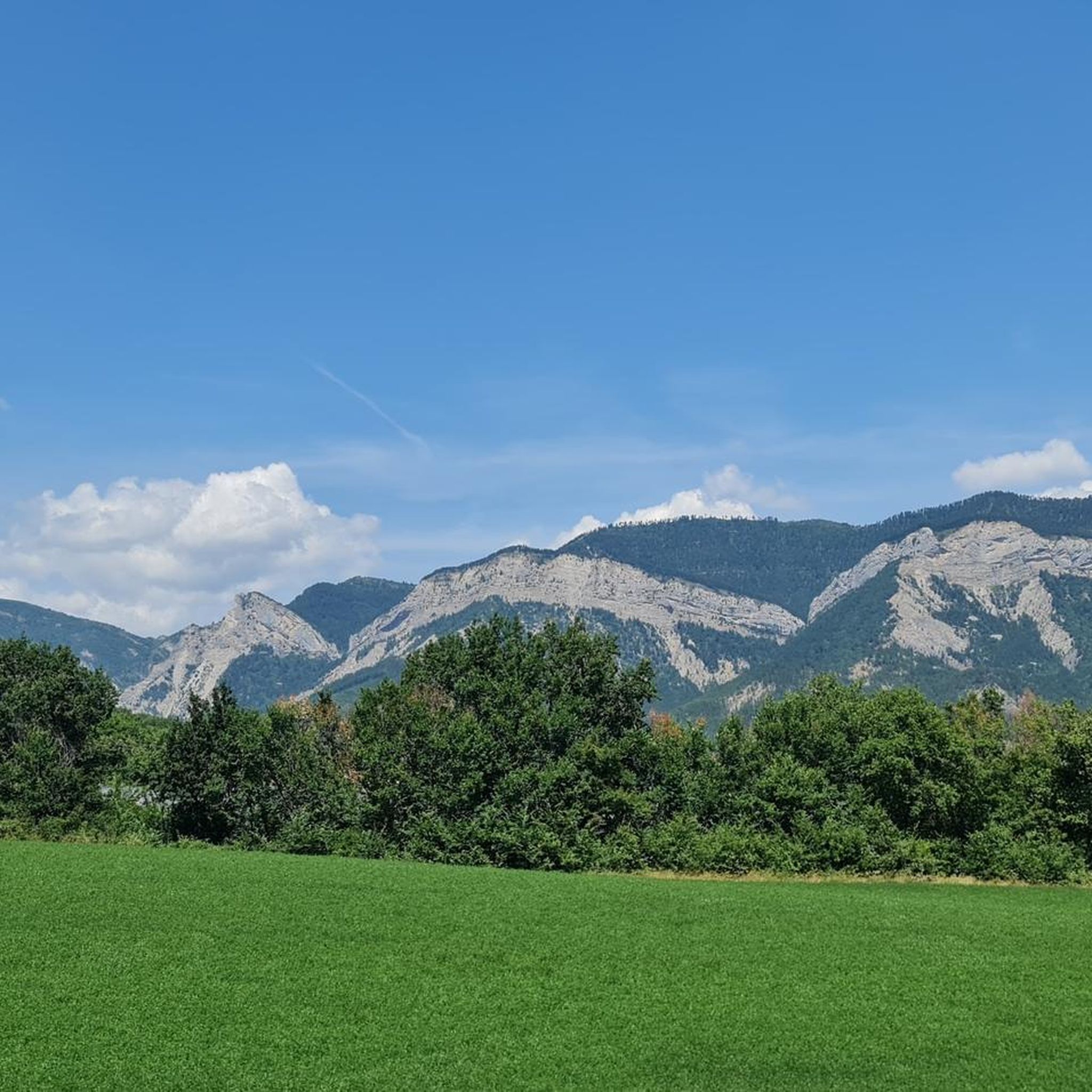
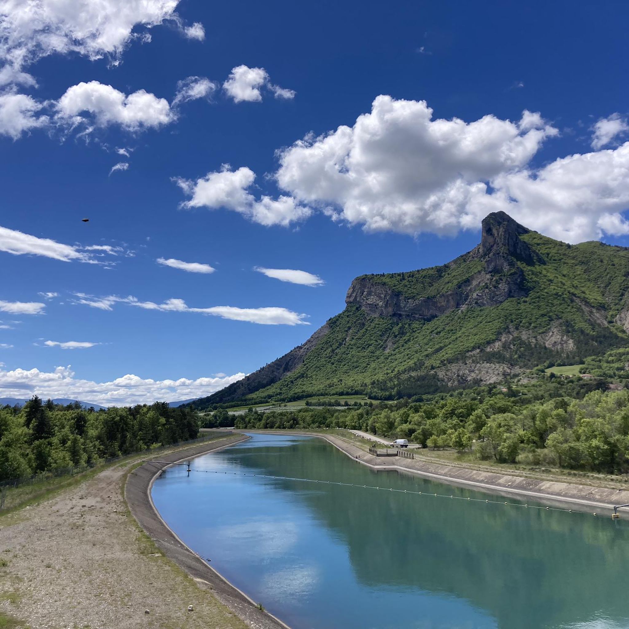
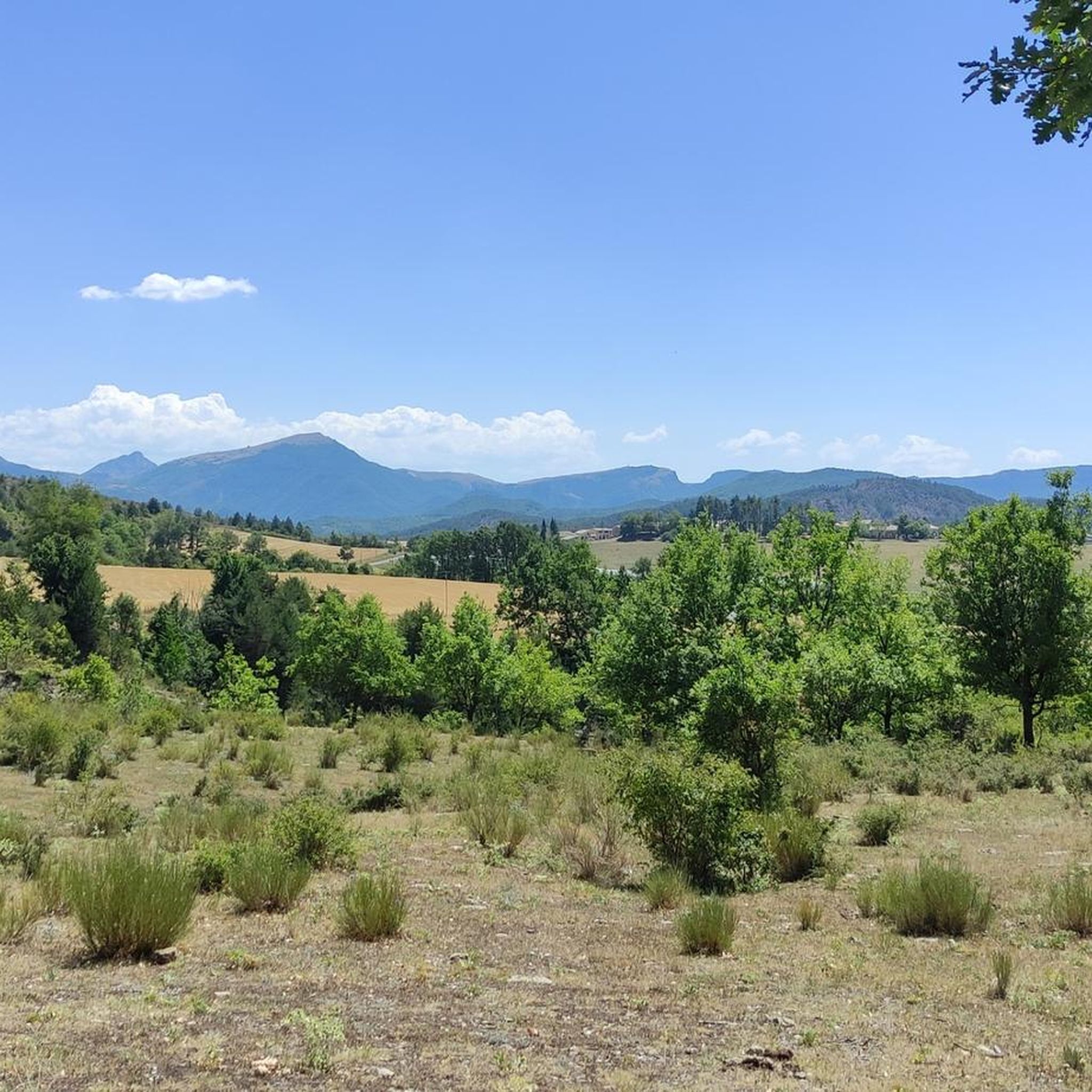
Hiking around Monêtier-Allemont provides access to varied terrain, nestled on the banks of the Durance river. The region features the Pic de Crigne, a Natura 2000 site, and serves as a gateway to the Massif du Bochaine and Préalpes de Digne. Landscapes include verdant river valleys, forests, and craggy formations, offering a range of elevations for outdoor activities.
Best hiking trails around Monêtier-Allemont
- The most popular hiking route is The Holy Cross loop from La Saulce, a 5.4 miles…
Last updated: August 18, 2026
4.5
(2)
16
hikers
8.67km
02:51
420m
420m
Moderate hike. Good fitness required. Easily-accessible paths. Suitable for all skill levels.
5.0
(2)
18
hikers
15.7km
05:33
760m
760m
Hard hike. Very good fitness required. Mostly accessible paths. Sure-footedness required.

Sign up for free
4.8
(4)
14
hikers
9.83km
03:33
570m
570m
Moderate hike. Good fitness required. Mostly accessible paths. Sure-footedness required.
9
hikers
3.92km
01:42
350m
350m
Moderate hike. Good fitness required. Easily-accessible paths. Suitable for all skill levels.
5.0
(1)
11
hikers
12.8km
04:16
640m
640m
Moderate hike. Good fitness required. Easily-accessible paths. Suitable for all skill levels.
Get access to more routes and recommendations from other explorers.
Sign up for free
Already have an account?
Our route recommendations are based on thousands of hikes, rides, and runs completed by other people on komoot.
Start today with a free account
Your next adventure awaits.
Login or Signup

Tips from the Community

Artificial lake of little interest. The prettiest part of the hike is at the bottom of the Gorges: that's great!
0
0


The Tête de Boursier peaks at 1235 m and offers a view to the North over the Durance and the superb climbing walls of the Montagne de Céüse. The slope to get there is quite steep.
2
0

It is a narrow path along the other side of the lake.
0
0

After a climb along a rocky ridge you will be rewarded with a beautiful 180 degree view over the valley.
1
0
Ruins of the old watchtower offering a beautiful view of the valley.
0
0

A pretty little artificial lake on the Montagne d’Aujour. A beautiful playground for mountain biking.
0
0

Very beautiful little lake at the foot of a circus
0
0
Frequently Asked Questions
How many hiking trails are available around Monêtier-Allemont?
Monêtier-Allemont offers a diverse network of over 20 hiking trails. This includes 3 easy routes, 16 moderate paths, and 1 challenging trail, catering to various skill levels.
What kind of landscapes will I encounter while hiking in Monêtier-Allemont?
You can expect a rich variety of landscapes, from the verdant Durance Valley with its orchards and riverbanks to the moors, grasslands, and beech forests of the Pic de Crigne. Trails also lead through beautiful forest passages, such as on the Montagne de Peyssier, and past impressive craggy formations like Roche Courbe. The region serves as a gateway to the Massif du Bochaine and Préalpes de Digne, offering views towards the Dévoluy and the Écrins.
Are there easy hiking trails suitable for beginners or families in Monêtier-Allemont?
Yes, Monêtier-Allemont has several easy trails perfect for beginners or families. You can enjoy pleasant, shaded walks along streams, such as an easy hike near Clamensane leading to an old aqueduct, or a circular walk around the hilltop village of Upaix. These routes offer gentle terrain and beautiful scenery.
Are there any challenging hikes for experienced trekkers in the area?
For experienced trekkers, routes like the ascent to Pic de l'Aigle offer steep climbs rewarded with extensive views over the plains of La Batie Monsaléon and Savournon. The Tête de Boursier also provides a superb viewpoint towards the Dévoluy and the Écrins, with moderate to challenging sections.
What are some notable landmarks or natural features to see along the hiking trails?
Hikers can explore several interesting features. The Espréaux Pass and Faye Pass offer scenic viewpoints. You might also discover the Clausonne Abbey, a historical site. The Pic de Crigne, a Natura 2000 site, is known for its diverse flora and fauna, including rare birds of prey. The Durance river valley itself is rich in biodiversity, with opportunities to spot European beavers and various bats.
Are there any circular walks available in Monêtier-Allemont?
Yes, many trails in Monêtier-Allemont are designed as circular routes. For example, the View of the Crigne Peak – Crigne Peak loop from Monêtier-Allemont takes you through diverse terrain, offering great views. Another option is the Tête de Boursier loop from Melve, which provides panoramic vistas.
What do other hikers enjoy most about hiking in Monêtier-Allemont?
The area is highly rated by the komoot community, with an average score of 4.7 stars from over 50 reviews. Hikers often praise the varied terrain, from river valleys to mountain views, and the well-maintained trails that offer options for all abilities. The stunning panoramas, especially from peaks like the Pic de Crigne and Tête de Boursier, are frequently highlighted.
What is the best time of year to go hiking in Monêtier-Allemont?
Monêtier-Allemont offers excellent hiking opportunities throughout much of the year. Spring and autumn provide pleasant temperatures and vibrant natural colors. Summer is also popular, especially for higher altitude trails, though some lower valley routes can be enjoyed year-round. Always check local conditions before heading out.
Are there any trails that offer views of lakes or rivers?
Absolutely. The region is situated along the Durance river, and many trails offer sublime viewpoints over its valley. Additionally, the area is dotted with lakes, such as the two Vivas lakes. While not directly on all hiking paths, the broader Hautes-Alpes region, easily accessible from Monêtier-Allemont, boasts numerous lakes, including the large Serre-Ponçon, which are rich in biodiversity and popular for walks.
Can I expect to see wildlife while hiking in Monêtier-Allemont?
Yes, the diverse ecosystems around Monêtier-Allemont support a variety of wildlife. On the Pic de Crigne, a Natura 2000 site, you might spot royal eagles, peregrine falcons, or the rare Short-toed Snake Eagle. Near the Durance riverbanks, European beavers and various bat species can be found. The forests and grasslands also host other local fauna.
Are there any historical routes or paths of interest in the region?
Monêtier-Allemont is notably situated on the 'Napoleon Horse Route,' a 360 km equestrian path that traces Napoleon's historic journey from the Côte d'Azur to Dauphiné. While primarily an equestrian route, sections can be explored on foot, offering a unique historical perspective on the landscapes.
Most popular routes around Monêtier-Allemont
Most popular attractions around Monêtier-Allemont

Get inspired with the komoot mobile app


Explore more
Browse the best Hikes in other regions.
