The best running trails around Saint-Révérien
2.0
(1)
92
runners
17
runs
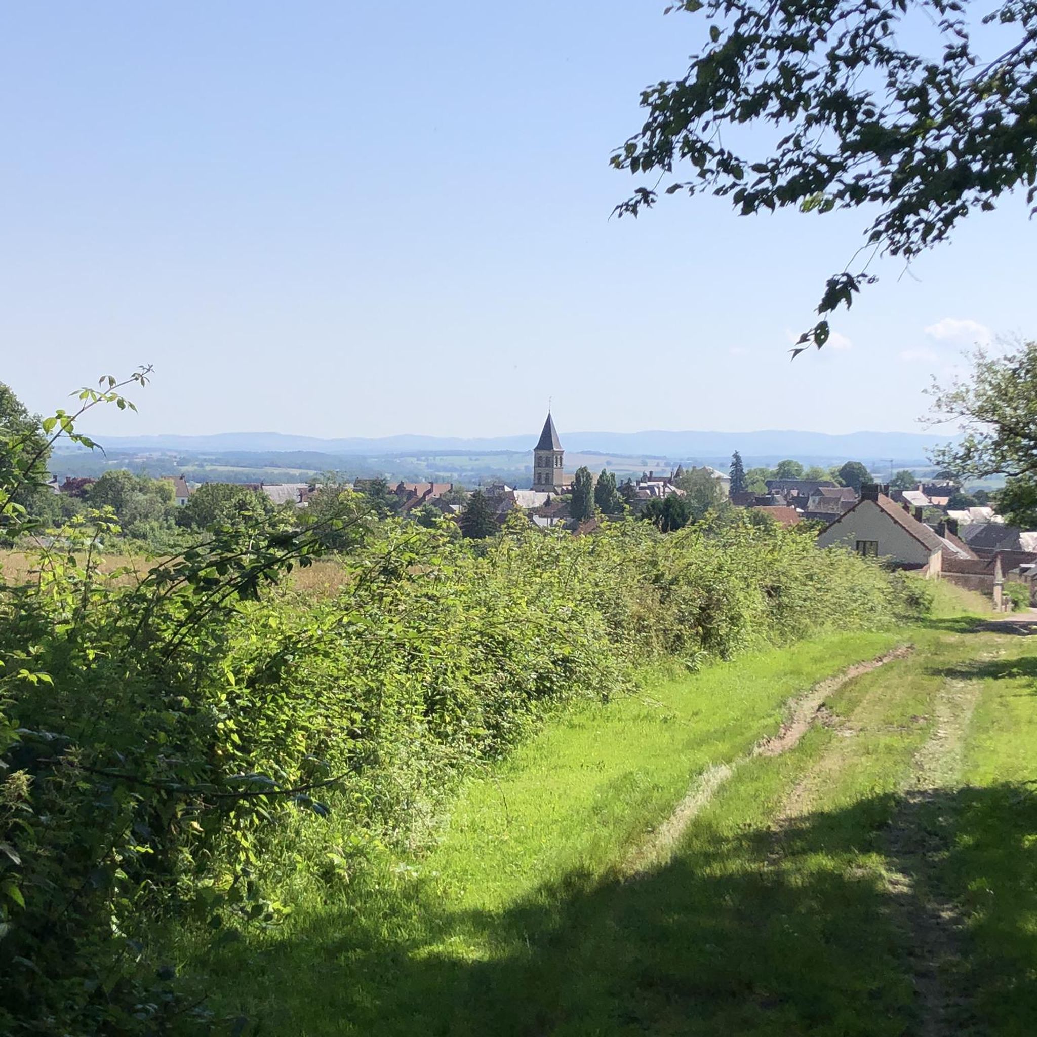
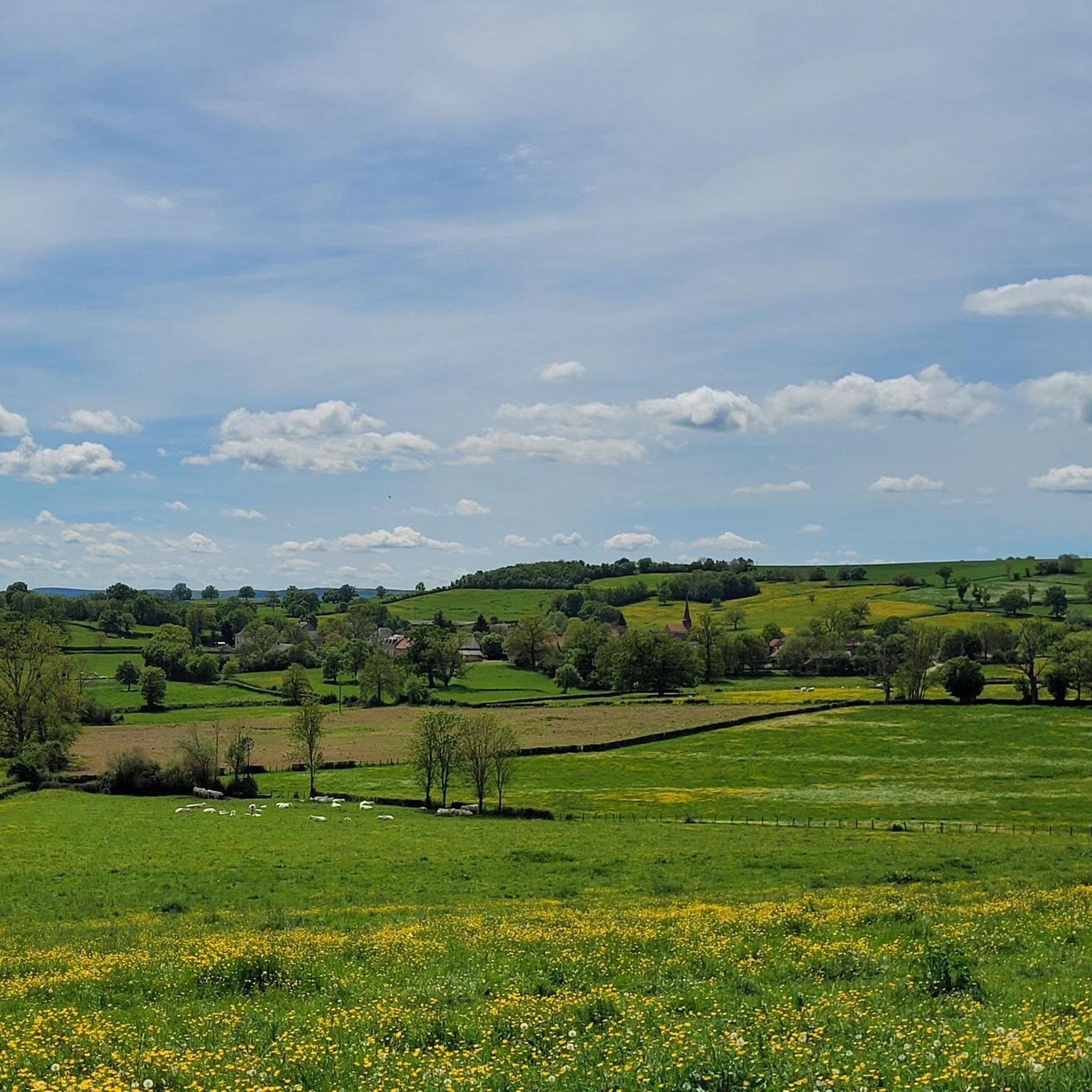
Jogging routes around Saint-Révérien traverse a diverse landscape at the edge of the Morvan Regional Natural Park, offering varied terrain for runners. The region features panoramic views of the Vaux de l'Yonne and includes access to the extensive Forest of Tronçay, known for its ancient Roman road. Runners can expect a mix of fields, woodlands, and areas with geological interest, such as former sandstone quarries. Small streams and ponds, like the Aron pond, also characterize the natural environment.
Best jogging…
Last updated: May 22, 2026
49
runners
4.80km
00:32
20m
20m
Easy run. Great for any fitness level. Mostly paved surfaces. Suitable for all skill levels.
2.0
(1)
4
runners
7.10km
00:50
140m
140m
Moderate run. Good fitness required. Mostly accessible paths. Some sure footedness required.

Sign up for free
7
runners
Moderate run. Good fitness required. Mostly paved surfaces. Suitable for all skill levels.
6
runners
7.15km
00:45
50m
50m
Moderate run. Good fitness required. Mostly paved surfaces. Suitable for all skill levels.
5
runners
4.33km
00:30
40m
40m
Easy run. Great for any fitness level. Mostly paved surfaces. Suitable for all skill levels.
Get access to more routes and recommendations from other explorers.
Sign up for free
Already have an account?
Our route recommendations are based on thousands of hikes, rides, and runs completed by other people on komoot.
Start today with a free account
Your next adventure awaits.
Login or Signup
Tips from the Community


Extensively remodeled in the 18th century, this castle steeped in history has medieval origins. It can be visited by appointment. The village of Arthel is also well worth the detour for a bike ride or on foot.
0
0

in Chaumot, a very pleasant little port and refreshment bar on the canal.
0
0

The village is home to a very beautiful castle dating from the 14th century, belonging by inheritance or sale to many private families. The writer Jules Renard (1864-1910) lived his entire childhood in the village. He was mayor of the village from 1904 until his death. He is buried in the village cemetery.
0
0

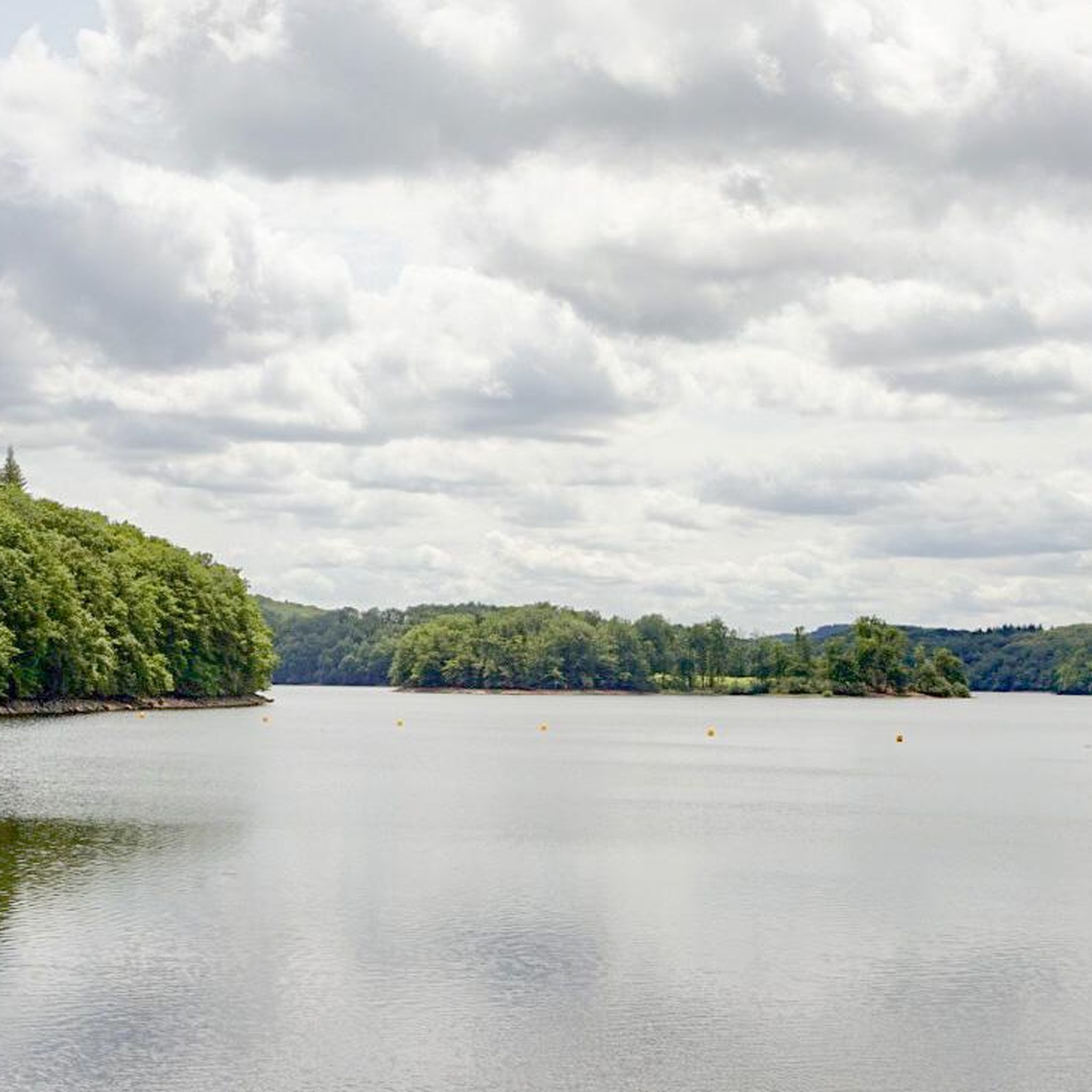
A protected and wild setting of 17 ha. There is a campsite, a sandy beach, and swimming is supervised in July and August. Rental of canoes and kayaks, pedal boats are available for rental. There is also a snack bar open in high season. A nice place for a break.
1
0

The house you see today was built in 1722 on the site of the old ruined castle. This older castle was built in the 12th and 13th centuries.
2
0
Originally a motte and bailey style castle, but its most notable and colorful history is that of the Second World War. During the war, the castle served as a dairy, but also as a holiday home for Parisian prostitutes and, more importantly, as an arms depot and HQ for the French Resistance.
2
0
Frequently Asked Questions
How many running routes are available around Saint-Révérien?
There are over 15 dedicated running routes around Saint-Révérien, offering a variety of distances and difficulty levels. These trails traverse diverse landscapes, from tranquil pond-side paths to more challenging routes with significant elevation changes.
Are there any easy jogging routes suitable for beginners or a relaxed run?
Yes, Saint-Révérien offers several easy jogging routes. A great option is L'étang de Baye — loop — running from La Collancelle, an easy 4.8 km (3 miles) trail with minimal elevation gain, perfect for a gentle run around the pond. Another easy choice is the Merle Pond loop from Base de loisirs, which is 4.3 km (2.7 miles).
What kind of landscapes can I expect to see while running in Saint-Révérien?
Runners in Saint-Révérien can enjoy a rich variety of landscapes. You'll find panoramic views of the Vaux de l'Yonne and the Morvan, extensive woodlands like the Forest of Tronçay, rolling rural fields, and serene areas around small streams and ponds, such as the Aron pond. The geological history also adds unique features, including former sandstone quarries now reclaimed by forest.
Are there any circular running routes in the area?
Yes, many of the running routes around Saint-Révérien are designed as loops, allowing you to start and finish in the same location. Examples include L'étang de Baye — loop — running from La Collancelle and Les châteaux d'Arthel — loop — running around Arthel, providing convenient options for your run.
Can I combine my run with exploring historical sites or landmarks?
Absolutely! Saint-Révérien is rich in history. You can run past the 12th-century Romanesque church, a classified Cluniac Site, or explore the ancient Gallo-Roman village of Compierre in the forest between Saint-Révérien and Champallement. The area also features remnants of an old priory and a sacred spring. For example, the Les châteaux d'Arthel — loop — running around Arthel route takes you near the historic Château d'Arthel.
What are some notable attractions or points of interest along the running trails?
Beyond the natural beauty, you can discover several points of interest. The Baye Pond and La Bouille Pond offer serene waterside views. History enthusiasts might appreciate seeing the Château d'Arthel or La Motte Castle. The Romanesque church in Saint-Révérien is also a significant landmark. For more details on the church, you can visit bourgogne-tourisme.com.
Are there any challenging running routes for experienced runners?
Yes, if you're looking for a more challenging run, consider routes with greater elevation gain. The Les châteaux d'Arthel — loop — running around Arthel is a moderate 7.1 km (4.4 miles) path with a notable elevation gain of 135 meters, offering a more demanding experience through the countryside.
What do other runners say about the trails in Saint-Révérien?
The running routes in Saint-Révérien are appreciated by the komoot community, with over 90 runners having explored the varied terrain. While the average rating is 2.0 stars, the area is known for its diverse landscapes, from tranquil pond loops to routes with historical significance, offering something for different preferences.
Are the running trails in Saint-Révérien well-marked?
The region, including the Forest of Tronçay, is crisscrossed by over 100 km of marked trails. While these are generally suitable for hiking and mountain biking, many can also be used for jogging, providing a good indication of direction. It's always a good idea to use a navigation app like komoot for precise route guidance.
Can I find running routes that go through forests?
Absolutely. The magnificent Forest of Tronçay is directly accessible from Saint-Révérien and offers extensive opportunities for running amidst ancient trees. Many routes will take you through woodlands, providing shaded paths and a refreshing natural environment.
Are there any running options along a canal or flat paths?
While not directly within Saint-Révérien, the nearby Nivernais Canal features a towpath that is closed to cars and serves as a cycle track. This could offer a flat, extended route for running, though it is a bit further afield from the immediate village.
Most popular attractions around Saint-Révérien

Get inspired with the komoot mobile app


Explore more
Browse the best Running Trails & Routes in other regions.
