The best MTB trails around Artlenburg
4.5
(422)
1,233
riders
181
rides
Mountain biking around Artlenburg offers diverse cycling experiences along the Elbe River and its surrounding landscapes. The region is characterized by its proximity to the Elbe-Seitenkanal and the High Elbe Bank, featuring varied terrain including short, steep ascents. While much of the North German Plain is generally flat, some areas provide dynamic conditions for mountain bikers. The network includes routes that traverse open fields, riverside paths, and areas with slight elevation changes.
Best mountain bike trails around Artlenburg
- The most…
Last updated: May 19, 2026
4.7
(9)
21
riders
Moderate mountain bike ride. Great for any fitness level. Advanced riding skills necessary.
3.0
(1)
8
riders
34.2km
02:08
80m
80m
Moderate mountain bike ride. Good fitness required. Suitable for all skill levels.

Sign up for free
3.0
(2)
9
riders
26.8km
01:36
130m
130m
Easy mountain bike ride. Great for any fitness level. Suitable for all skill levels.
4.3
(3)
5
riders
Moderate mountain bike ride. Good fitness required. Suitable for all skill levels.
4.0
(1)
4
riders
Easy mountain bike ride. Great for any fitness level. Suitable for all skill levels.
Get access to more routes and recommendations from other explorers.
Sign up for free
Already have an account?
Our route recommendations are based on thousands of hikes, rides, and runs completed by other people on komoot.
Start today with a free account
Your next adventure awaits.
Login or Signup
Tips from the Community


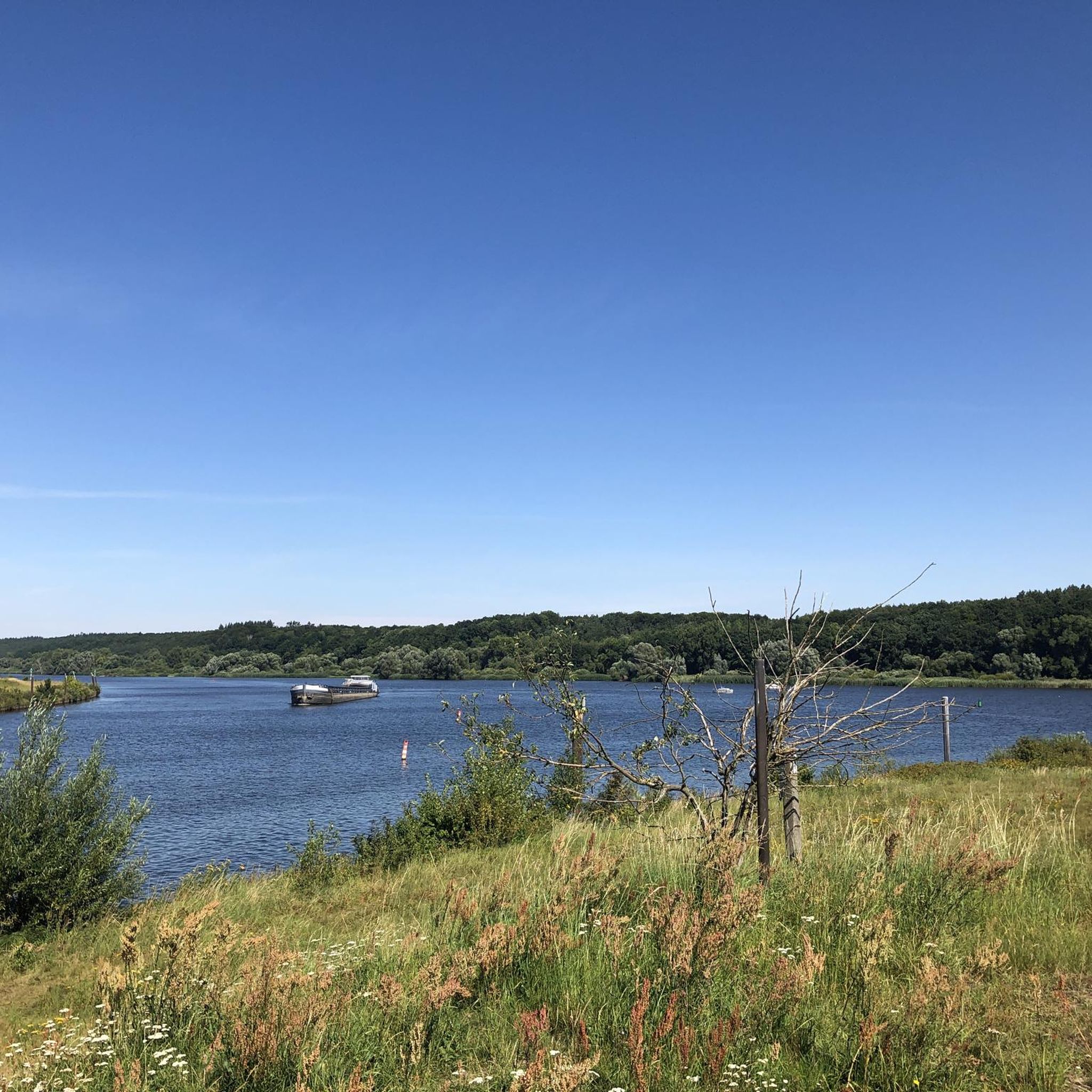
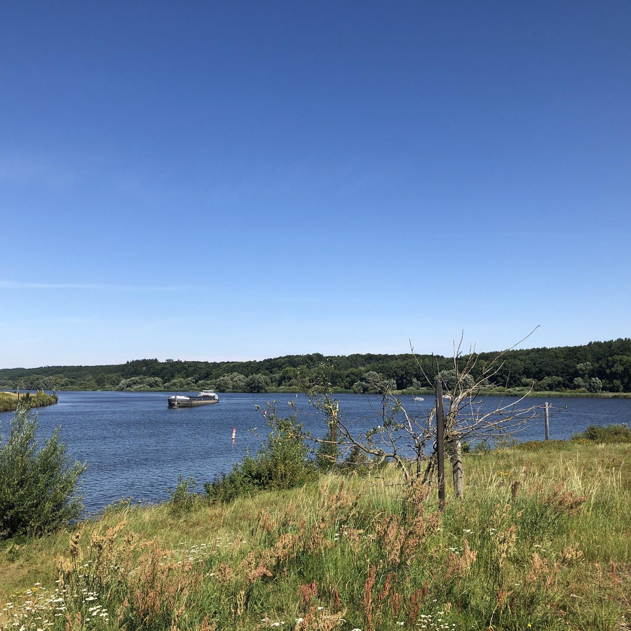
The most beautiful view of Lauenburg
0
0

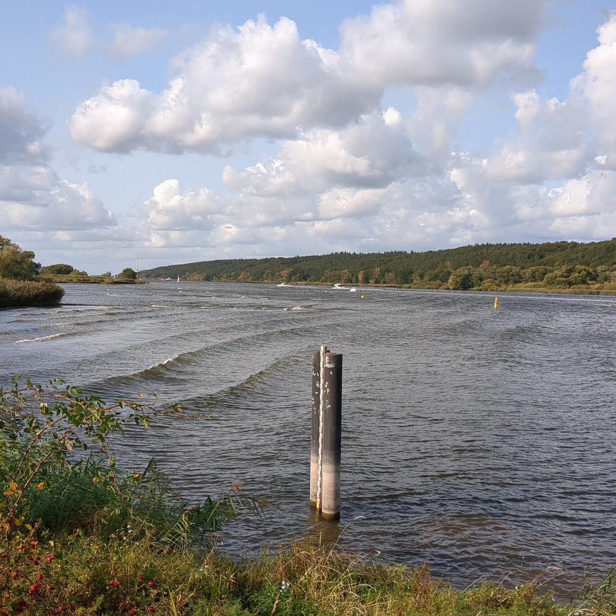
A lock was built in 1957 with the barrage on the Elbe River to allow ships to overcome the difference in height. Depending on the tide, this difference varies between approximately 1.30 and 3.50 meters. Since the construction of the barrage, the lock channel has cut through the foreland of the Besenhorst Sand Hills. This is how the lock island was created. At the level of the weir, the Geesthacht Lock offers two parallel chambers, each 230 meters long and 25 meters wide. The southern chamber went into operation in 1960, and the northern chamber was completed in 1981. The chambers' four lifting gates are operated electromechanically. Due to the counterweights running in the reinforced concrete towers, only minimal force is required. The chambers are filled without surges by gently lifting the upper gates and through a channel in the central wall. Excess water from the neighboring chamber can also be used for filling via this channel. https://metropolregion.hamburg.de/natur-und-kultur-erleben/industriekultur-am-wasser/routen/geesthacht/schleuse-11608
3
0

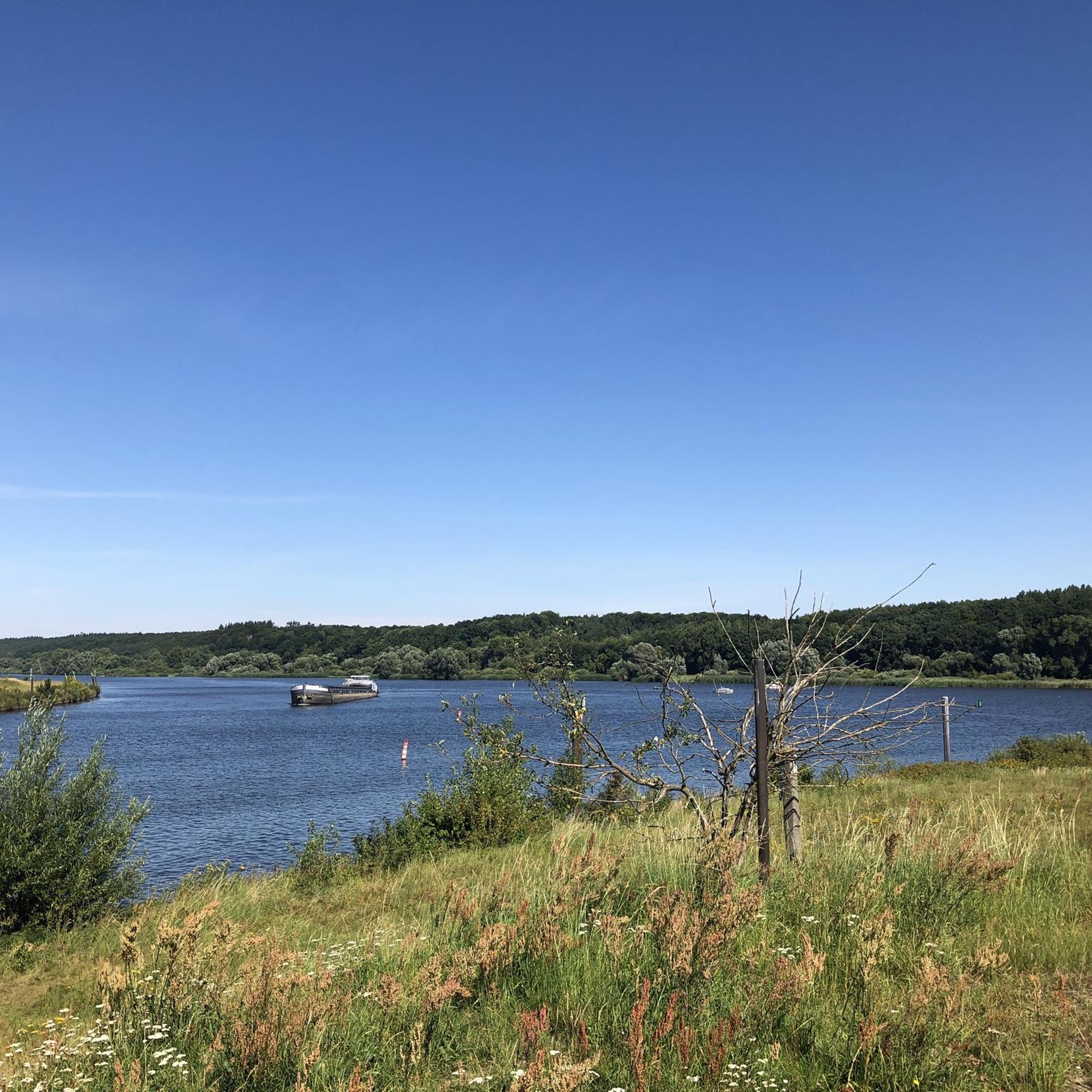
A beautiful place to take a break.
1
0
The trail has some climbs and descents. The slabs have holes in them, making it quite bumpy, but the trail is quite easy to ride.
0
0
Frequently Asked Questions
How many mountain bike trails are there in Artlenburg?
Artlenburg offers a wide selection of mountain bike trails, with over 180 routes available for exploration. These trails cater to various skill levels, including easy, moderate, and some more challenging options.
What kind of terrain can I expect on mountain bike trails around Artlenburg?
The terrain around Artlenburg is diverse, featuring routes along the Elbe River and the Elbe-Seitenkanal. While much of the North German Plain is generally flat, you'll encounter areas with varied terrain, including some short, steep ascents and erosion valleys, particularly along the High Elbe Bank between Tesperhude and Lauenburg. Trails often traverse open fields and riverside paths.
Are there easy mountain bike trails suitable for beginners in Artlenburg?
Yes, Artlenburg has plenty of options for beginners. There are over 80 easy mountain bike trails available. An example of an easy route is the Shelter at the Elbe Riverside – Bench With View of the Elbe loop from Schnakenbek, which is about 12 miles (19.5 km) long and leads through pleasant riverside landscapes.
What are some scenic points or landmarks I can see while mountain biking near Artlenburg?
Many trails offer scenic views and pass by interesting landmarks. You can enjoy views of the historic Lauenburg Old Town, or witness the impressive Lüneburg–Scharnebeck Ship Lift. The Artlenburg Windmill is another picturesque landmark. The High Elbe Bank between Tesperhude and Lauenburg also provides beautiful natural scenery.
Are there any challenging mountain bike trails for experienced riders?
While the region is generally known for its moderate terrain, there are a few more challenging options available, with 5 difficult trails listed. The presence of short, steep uphill sections in areas like the High Elbe Bank can add a dynamic element to rides for those seeking more intensity.
What do other mountain bikers say about the trails in Artlenburg?
The mountain bike trails around Artlenburg are highly regarded by the komoot community, holding an average rating of 4.5 stars from over 400 reviews. More than 1200 mountain bikers have explored the varied terrain, often praising the scenic views along the Elbe River and the diverse cycling experiences.
Can I find mountain bike trails that are suitable for families?
Yes, many of the easy and moderate trails are suitable for families. Routes along the Elbe River and Elbe-Seitenkanal often feature relatively flat sections, making them enjoyable for riders of different ages and skill levels. Consider routes with lower elevation changes for a more relaxed family outing.
Are there places to stop for refreshments or shelter along the trails?
Yes, you can find places for shelter and potentially refreshments. For instance, the Shelter at the Elbe Riverside is a known highlight. Some routes may pass by small villages or towns where cafes or restaurants might be available, such as Forsthaus Glüsing.
What is the best season for mountain biking in Artlenburg?
The best season for mountain biking in Artlenburg is generally from spring to autumn, when the weather is mild and the trails are dry. The riverside paths and open landscapes are particularly enjoyable during these months. While winter riding is possible, some paths might be wet or muddy, and daylight hours are shorter.
Are there mountain bike trails that offer views of the Elbe River?
Absolutely. Many mountain bike trails in Artlenburg are designed to showcase the beauty of the Elbe River. Routes like the Lauenburg Old Town – View of Lauenburg Old Town loop from Schnakenbek offer extensive views of the Elbe and its charming old town areas. The High Elbe Bank also provides stunning river vistas.
How long are the mountain bike trails around Artlenburg typically?
The mountain bike trails around Artlenburg vary significantly in length. You can find shorter routes, such as the Shelter at the Elbe Riverside – Bench With View of the Elbe loop from Schnakenbek at about 12 miles (19.5 km), or longer, more extensive rides like the Lauenburg Old Town – View of Lauenburg Old Town loop from Schnakenbek, which spans over 31 miles (51.5 km).
Are there circular mountain bike routes available in Artlenburg?
Yes, many of the mountain bike routes around Artlenburg are circular, allowing you to start and end at the same point. For example, the Island Lake – Weir on the Neetzekanal loop from Schnakenbek is a popular circular route that covers about 21 miles (34 km).
Is there parking available near the mountain bike trails in Artlenburg?
While specific parking areas are not detailed for every trail, many routes start from towns or accessible points where public parking is generally available. For routes starting from places like Artlenburg or Schnakenbek, you can typically find parking options within the vicinity of the trailheads.
Most popular routes around Artlenburg
Most popular attractions around Artlenburg

Get inspired with the komoot mobile app


Explore more
Browse the best MTB trails in other regions.
