The best walks and hikes around Chambellay
4.4
(69)
535
hikers
61
hikes
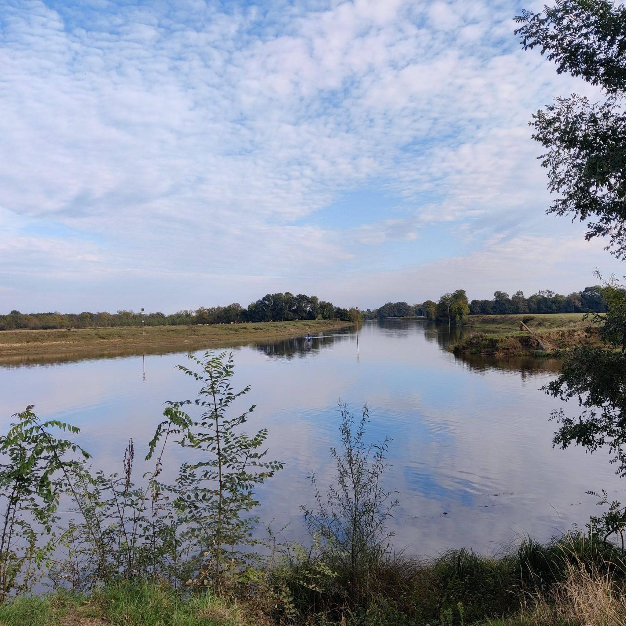
Hiking around Chambellay offers diverse landscapes, primarily defined by the Mayenne River and its towpath, which provides scenic walks alongside the water. The region features rolling countryside, extensive farmland, and hedged fields. Trails often pass through low valleys and offer views of picturesque villages and historic structures.
Best hiking trails in Chambellay
- The most popular hiking route is Circuit de la Grotte à l'Isle Briand, a 6.6 miles (10.6 km) moderate trail that takes about 2 hours 43 minutes…
Last updated: August 28, 2026
4.2
(6)
22
hikers
10.6km
02:43
40m
40m
Moderate hike. Good fitness required. Easily-accessible paths. Suitable for all skill levels.
4.0
(2)
4
hikers
6.18km
01:36
30m
30m
Easy hike. Great for any fitness level. Easily-accessible paths. Suitable for all skill levels.

Sign up for free
4.6
(10)
49
hikers
Moderate hike. Good fitness required. Easily-accessible paths. Suitable for all skill levels.
4.0
(4)
30
hikers
Moderate hike. Good fitness required. Easily-accessible paths. Suitable for all skill levels.
4.5
(2)
18
hikers
Easy hike. Great for any fitness level. Easily-accessible paths. Suitable for all skill levels.
Get access to more routes and recommendations from other explorers.
Sign up for free
Already have an account?
Our route recommendations are based on thousands of hikes, rides, and runs completed by other people on komoot.
Start today with a free account
Your next adventure awaits.
Login or Signup



Tips from the Community

Starting point of the "cave to Isle Briand" hike
0
0
Superb view of the back of the castle. Feel free to walk around the island.
0
0
The L'Isle-Briand Hippodrome located in Lion d'Angers is dedicated solely to flat racing. Its turf track is 1625 meters long.
0
0
L'Hippodrome de L'Isle-Briand located in Lion d'Angers is dedicated solely to flat racing. Its turf track is 1625 meters long.
0
0
A little favorite for the two banks of Grez-Neuville
0
0

Grez-Neuville is a charming village on the banks of the Mayenne. The port has been a base for river tourism in Anjou since the 80s, and you can watch the boats coming and going on the river.
0
0

Beautiful castle, beautiful view passing by the greenway
0
0

48 hours free, not far from town, idyllic
0
0
Frequently Asked Questions
How many hiking trails are there in Chambellay?
Chambellay offers a comprehensive network of over 50 hiking trails. You'll find a good mix of difficulties, with 24 easy routes perfect for a leisurely stroll, 29 moderate trails for a more engaging hike, and 2 challenging options for experienced trekkers.
What kind of terrain can I expect on hikes around Chambellay?
The terrain around Chambellay is quite varied, characterized by the picturesque Mayenne River and its flat towpath, rolling countryside, and extensive farmlands. Many trails wind through low valleys, offering views of charming villages and historic structures. You'll also encounter wooded areas like the Bois des Défais and Parc du Château de Bois-Montbourcher, providing shaded walks.
Are there any family-friendly hiking routes in Chambellay?
Yes, Chambellay has several routes suitable for families. An excellent option is the Isle Briand Circuit, an easy 6.2 km path that offers a gentle exploration of green spaces, perfect for all ages. The Mayenne River's towpath also provides relatively flat and safe walking conditions for families.
Can I bring my dog on the hiking trails in Chambellay?
Most hiking trails in Chambellay are dog-friendly, especially those along the Mayenne River and through the countryside. However, it's always advisable to keep your dog on a leash, particularly when passing through farmlands or near livestock, and to check local regulations for specific areas or nature reserves.
What are some notable landmarks or natural features to see while hiking?
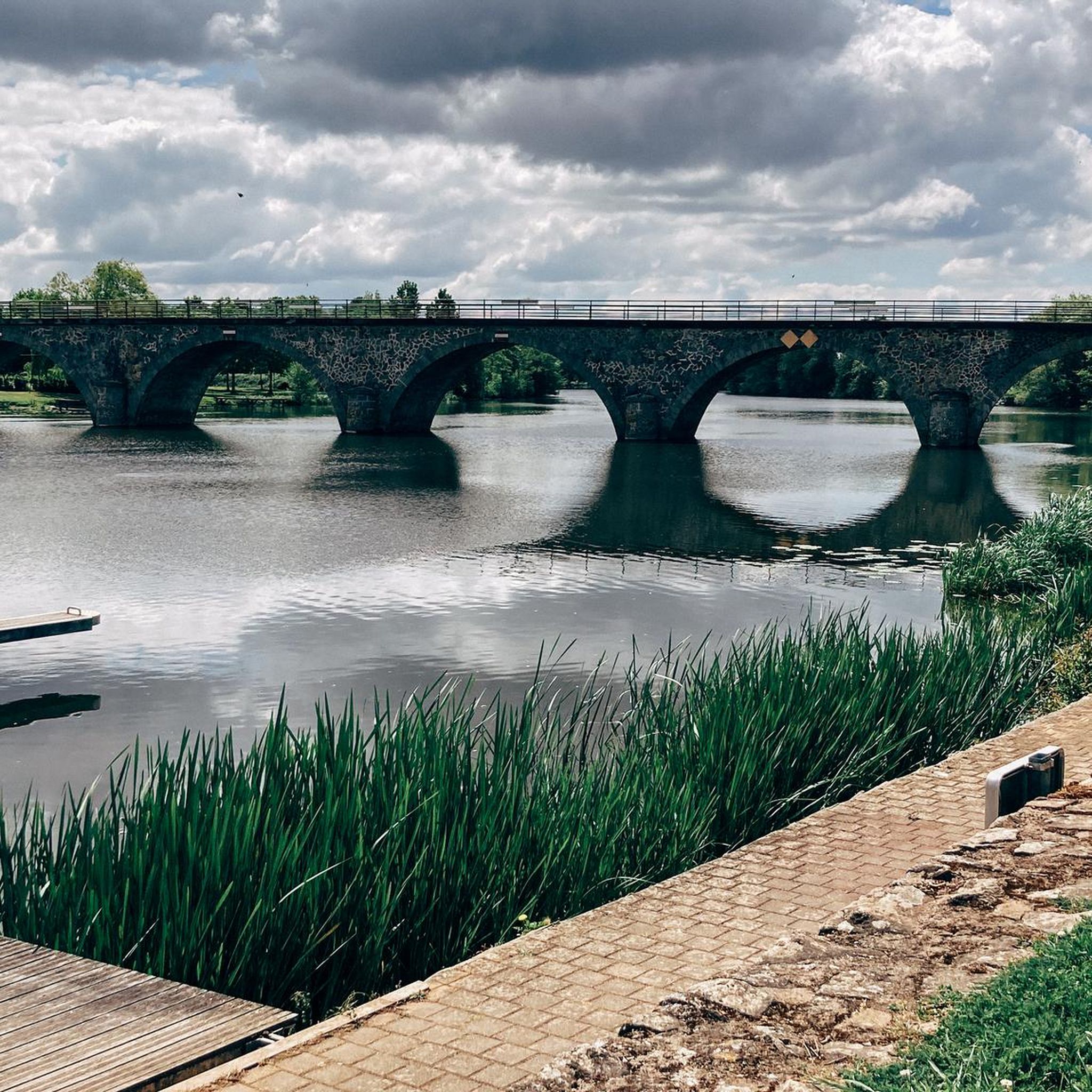
Hikers in Chambellay can discover a variety of interesting sights. Along the Mayenne River, you'll find historic locks like La Roche and the Moulin Neuf. The Circuit de la Grotte à l'Isle Briand passes by riverside paths, woods, a cave, and offers views of the Isle Briand Castle. You might also catch glimpses of the Château du Bois-Montbourcher and enjoy views of the Chambellay Bridge over the Mayenne River.
Are there any circular walks available in Chambellay?
Yes, circular walks are a popular way to explore Chambellay. A well-known looped circuit starts from the 1947 lavoir, taking approximately 3 hours and 20 minutes to complete. The Hippodrome du Lion d'Angers – Isle Briand Castle loop from Le Lion-d'Angers is another excellent circular option, offering varied terrain and castle views.
What is the best time of year to go hiking in Chambellay?
The best time to hike in Chambellay is generally during the spring, summer, and early autumn months. The region experiences an oceanic climate with temperate summers, making for pleasant hiking conditions. Spring brings blooming landscapes, while autumn offers beautiful foliage. Always check local weather forecasts before heading out.
What do other hikers enjoy most about hiking in Chambellay?
The hiking experience in Chambellay is highly rated by the komoot community, with an average score of 4.5 stars from over 40 reviews. Reviewers often praise the diverse landscapes, particularly the scenic riverside paths along the Mayenne, the tranquil rolling countryside, and the well-maintained network of trails suitable for various ability levels.
Are there any cafes or places to rest along the trails?
While many trails wind through natural landscapes, you can find amenities in nearby villages. For instance, the Ménil riverside café is a pleasant spot to stop. The nearby village of Grez-Neuville, visible from some viewpoints like the Beautiful view of the port of Grez-Neuville, also offers facilities.
Is public transport available to access hiking trails in Chambellay?
Information on specific public transport links directly to trailheads in Chambellay can vary. It's generally recommended to check local bus services or regional transport options that connect to Chambellay or nearby towns like Le Lion-d'Angers or Chenillé-Changé, from where many trails originate or are easily accessible.
Are there any longer, more challenging routes for experienced hikers?
While Chambellay is known for its easy to moderate trails, there are a couple of more challenging options for those seeking a longer excursion. For example, the Bootsanleger mit Toilette – Village of Grez Neuville loop from Le Lion-d'Angers is a moderate 10.9 km route that offers a good distance for a longer hike, traversing varied terrain along the Mayenne.
Most popular routes around Chambellay
Most popular attractions around Chambellay

Get inspired with the komoot mobile app


Explore more
Browse the best Hikes in other regions.
