The best running trails around Sainte-Marie
201
runners
33
runs
Jogging routes around Sainte-Marie traverse a varied landscape, featuring both gentle paths around water bodies and more challenging trails through hills and mountain passes. The region is characterized by its diverse topography, including significant elevation changes on some routes. Runners can find trails that explore natural valleys and offer views of the surrounding countryside.
Best jogging routes around Sainte-Marie
- The most popular jogging route is Plan d'eau du Pas des Ondes loop from La Motte-Chalancon, a 5.6 miles (9.0…
Last updated: August 18, 2026
22
runners
11.8km
01:34
460m
460m
Hard run. Very good fitness required. Mostly paved surfaces. Suitable for all skill levels.
15
runners
9.93km
01:38
620m
620m
Hard run. Very good fitness required. Mostly paved surfaces. Suitable for all skill levels.

Sign up for free
12
runners
20.2km
03:24
1,280m
1,270m
Hard run. Very good fitness required. Mostly paved surfaces. Suitable for all skill levels.
7
runners
10.4km
01:24
410m
410m
Hard run. Very good fitness required. Mostly paved surfaces. Suitable for all skill levels.
4
runners
7.60km
00:50
130m
130m
Moderate run. Good fitness required. Mostly paved surfaces. Suitable for all skill levels.
Get access to more routes and recommendations from other explorers.
Sign up for free
Already have an account?
Our route recommendations are based on thousands of hikes, rides, and runs completed by other people on komoot.
Start today with a free account
Your next adventure awaits.
Login or Signup
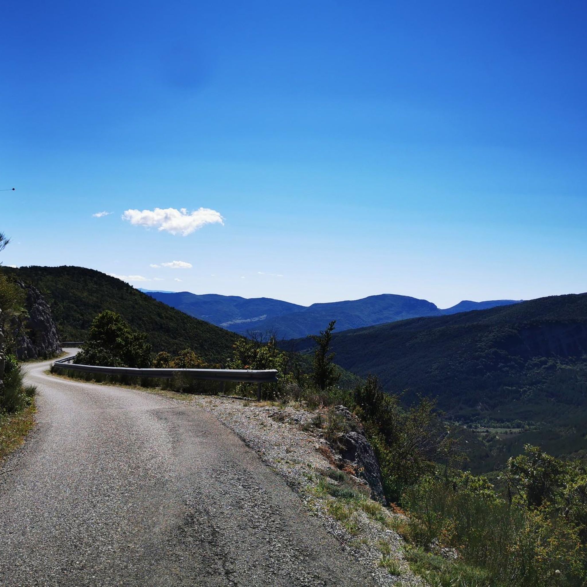
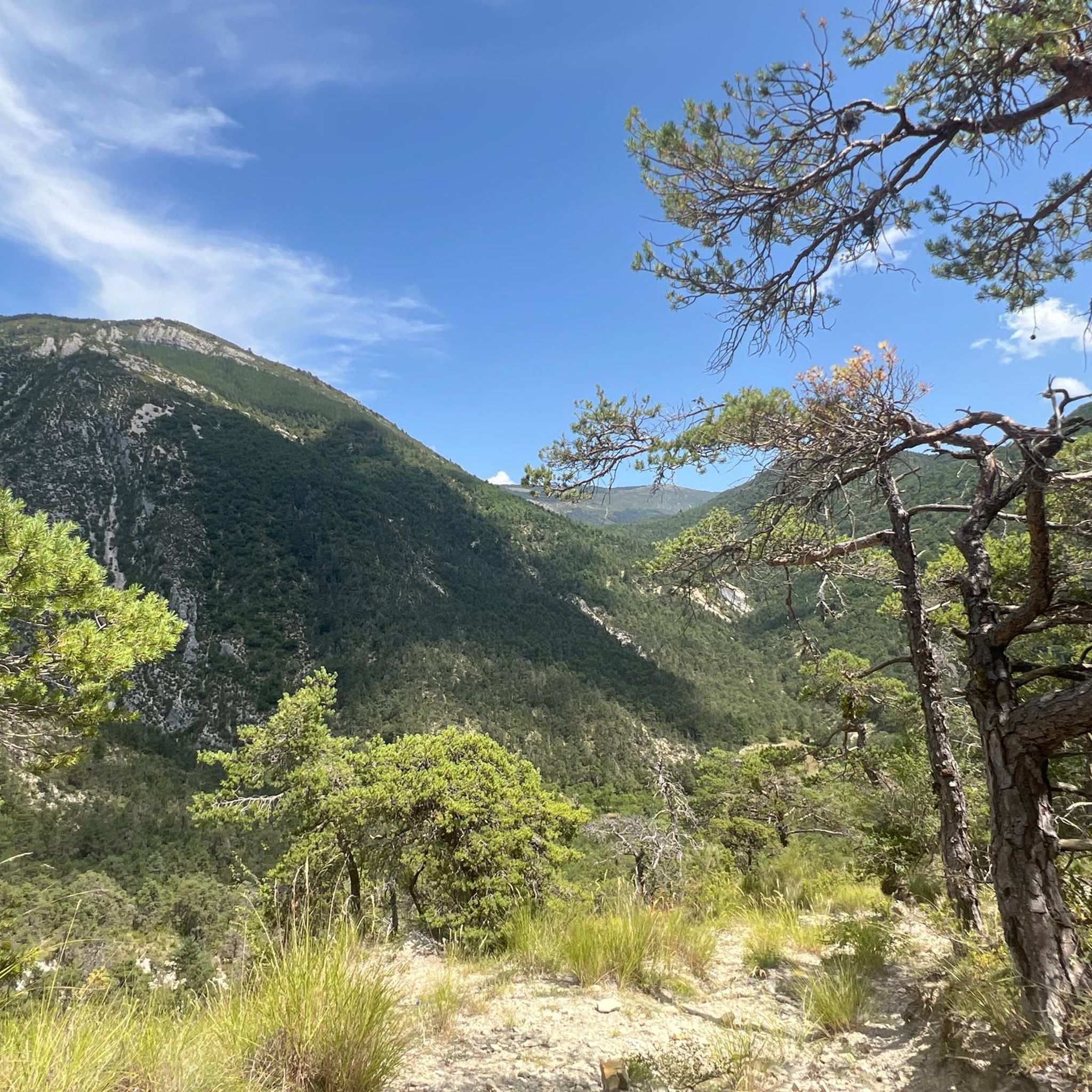
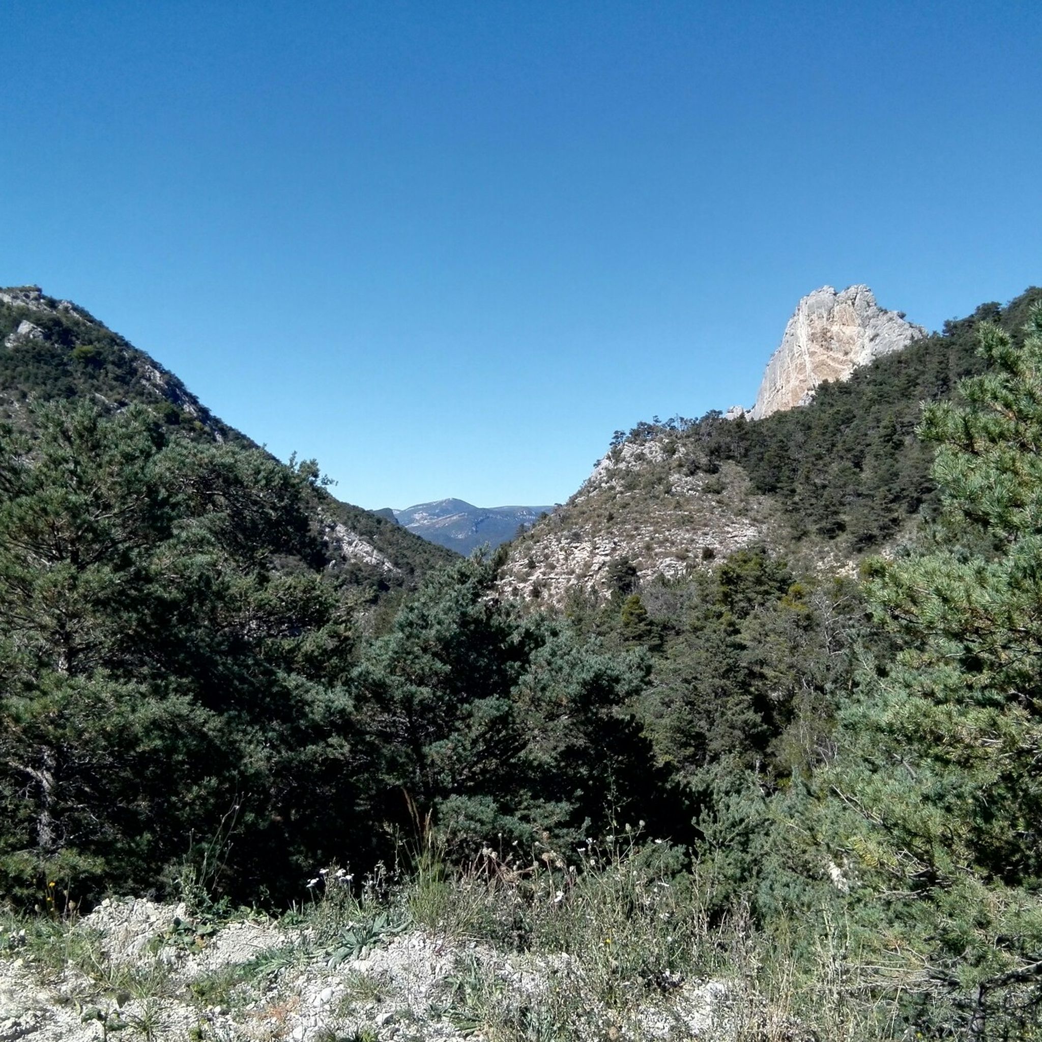
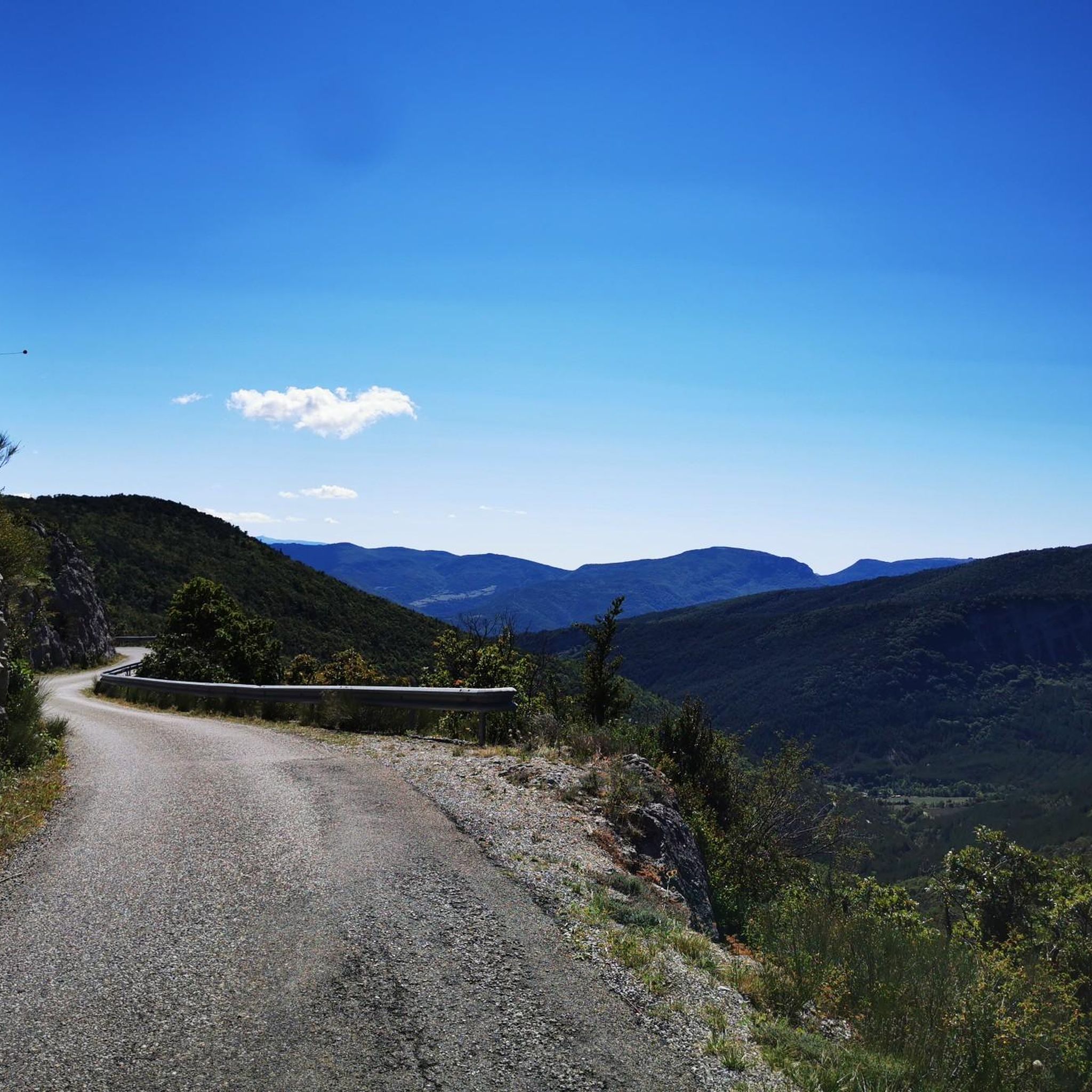
Tips from the Community

Building maintained in excellent condition.
10
0
The ascent to Col de la Fromagère / Col de Pommerol from Rosans is located in the Hautes-Alpes region. This ascent is 6.6 km long, with a total elevation gain of 371 m. The average gradient of the ascent to Col de la Fromagère / Col de Pommerol from Rosans is 5.6%.
6
0

bring good shoes and a windbreaker at the top
0
0

Magnificent panorama. Once at the top, it's not very difficult and very pleasant.
0
0
Magnificent region. I recommend the guest rooms at the Château de Rosans.
0
0

The Col de la Fromagère turns into the Col de Pommerol when you reach the summit. The climb is nevertheless magnificent on a small mountain road, with good percentages sometimes approaching 12%
1
0

The medieval village of Rosans reveals beautiful ocher-colored stones and old Roman tile roofs. Entrance into the village is under an arched door. You discover its impressive square tower. Built in the 13th century in stones cut into diamond points, it is still in perfect state of conservation.
4
0
Frequently Asked Questions
How many running routes are available around Sainte-Marie?
There are over 30 dedicated running routes around Sainte-Marie, catering to various fitness levels. The region offers a diverse network of trails, from moderate loops to more advanced mountain runs.
Are there any easy or beginner-friendly jogging routes in Sainte-Marie?
While there are no routes specifically classified as 'easy' in our current selection, Sainte-Marie does offer 12 moderate running routes. These typically feature gentler elevation changes and are suitable for those looking for a less strenuous run. An example is the Plan d'eau du Pas des Ondes loop from La Motte-Chalancon, which circles a scenic water body.
What kind of terrain can I expect on running trails near Sainte-Marie?
The terrain around Sainte-Marie is quite varied. You'll find paths around scenic water bodies, as well as more challenging trails through hills and mountain passes. Many routes feature significant elevation changes, offering a good workout and expansive views of the surrounding countryside.
Are there any circular running routes in the Sainte-Marie area?
Yes, many of the running routes around Sainte-Marie are circular, allowing you to start and finish at the same point. For instance, the Château de La Charce – La Charce Castle loop from La Charce is a moderate circular route that takes you past historical sites.
What are some longer, more challenging running trails in Sainte-Marie?
For experienced runners seeking a challenge, Sainte-Marie offers 22 difficult routes. A notable long and challenging option is the Rosans – Montagne de Raton loop from Rosans, which is over 20 km long and features significant elevation gain through mountainous terrain.
Are there any running routes with good viewpoints or natural attractions?
Absolutely! Many routes in Sainte-Marie offer stunning views and pass by natural attractions. You can find trails that lead to summits like Montagne de Raton or offer a Panoramic View of the Baronnies Provençales. The region also features natural monuments like the Geological Site of La Charce and impressive gorges such as Gorges de l'Arayon.
Can I find running routes that pass by historical sites or villages?
Yes, some running routes in Sainte-Marie incorporate historical elements and charming villages. For example, the Château de La Charce – La Charce Castle loop from La Charce takes you past the historic La Charce Castle. The village of Rosans also serves as a starting point for several routes, including the challenging Rosans – COL DE POMMEROL loop.
What is the typical duration for a running route in Sainte-Marie?
Running route durations in Sainte-Marie vary widely depending on the distance and difficulty. Moderate routes, like the Plan d'eau du Pas des Ondes loop, can take around an hour. More difficult and longer trails, such as the Rosans – Montagne de Raton loop, might require over three hours to complete.
Are there any running trails that are particularly scenic or offer unique experiences?
Many trails in Sainte-Marie are known for their scenic beauty. The region's diverse topography, including water bodies and mountain passes, ensures picturesque views. Routes like the Rosans – COL DE POMMEROL loop from Rosans offer expansive vistas as you ascend through the mountain pass.
What should I consider when planning a run in Sainte-Marie's mountainous areas?
When planning a run in Sainte-Marie's mountainous areas, be prepared for significant elevation changes. Trails like the Montagne de Raton loop from Col de la Fromagère are classified as difficult due to their steep ascents and descents. Ensure you have appropriate footwear, hydration, and check weather conditions, especially at higher altitudes.
Are there any running routes that feature water bodies?
Yes, Sainte-Marie offers running routes that traverse around water bodies. The Plan d'eau du Pas des Ondes loop from La Motte-Chalancon is a prime example, providing a pleasant run around a scenic lake with gentle elevation changes.
Most popular attractions around Sainte-Marie

Get inspired with the komoot mobile app


Explore more
Browse the best Running Trails & Routes in other regions.
