The best road cycling routes around Saléon
4.5
(144)
2,984
riders
83
rides
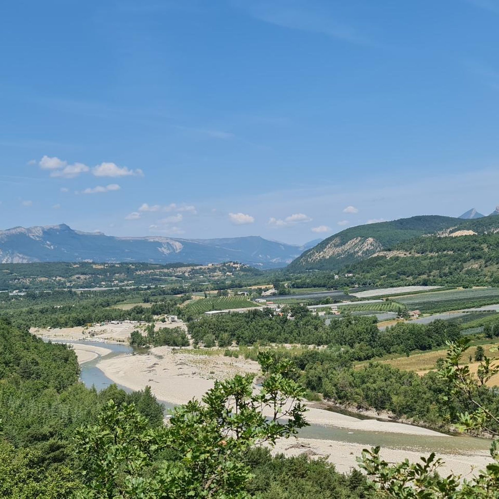
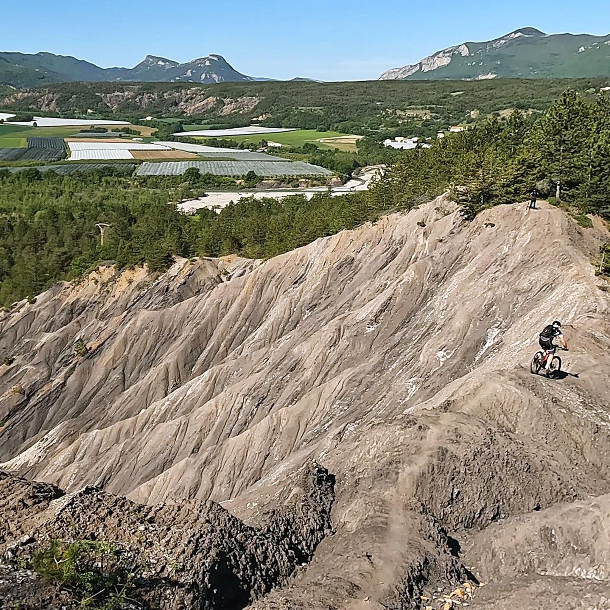
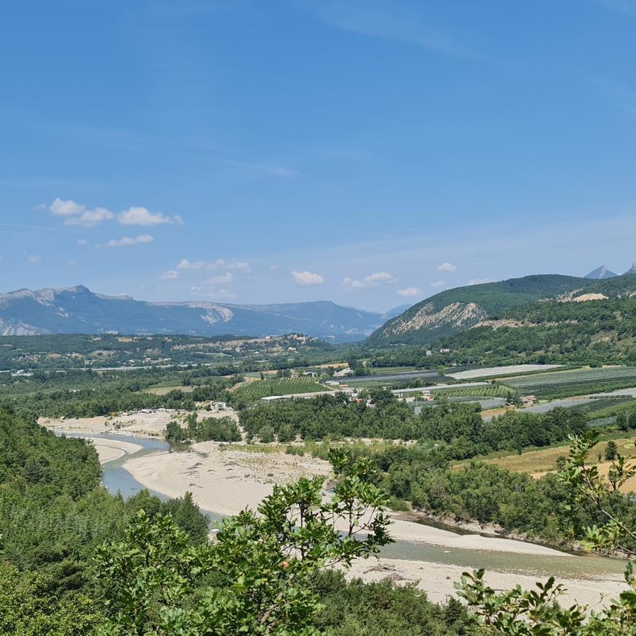
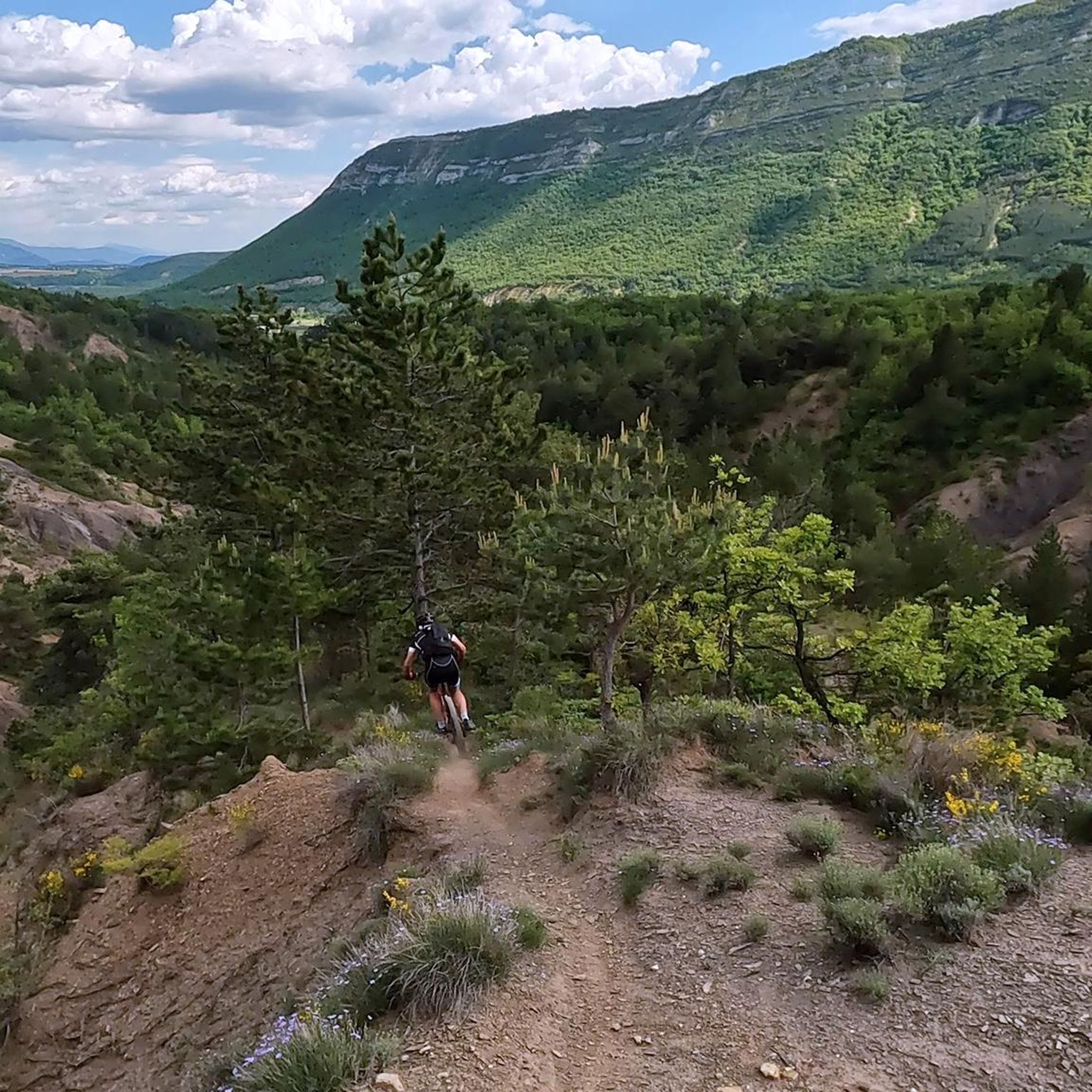
Road cycling routes around Saléon traverse a landscape characterized by its mountainous terrain, including cols and gorges, within the Natural Regional Park of Baronnies Provençales. The region features a mix of challenging climbs and scenic loops through valleys and past watchtowers. Road cyclists can expect varied elevations and routes that explore the natural features of the French Alps foothills.
Best road cycling routes around Saléon
- The most popular road cycling route is Col de Saint Jean - Natural Regional Park…
Last updated: July 8, 2026
4.9
(17)
454
riders
60.3km
02:46
740m
740m
Moderate road ride. Good fitness required. Some segments of this route may be unpaved and difficult to ride.
5.0
(7)
248
riders
97.8km
04:29
1,190m
1,190m
Cycle 60.8 miles (97.8 km) through the Gorges de la Méouge and over the challenging Col de Perty, gaining 3895 feet (1187 metres).

Sign up for free
4.7
(3)
30
riders
30.6km
01:28
300m
300m
Easy road ride. Great for any fitness level. Some segments of this route may be unpaved and difficult to ride.
4.6
(19)
169
riders
75.1km
03:29
930m
930m
Hard road ride. Very good fitness required. Mostly well-paved surfaces and easy to ride.
4.1
(9)
144
riders
61.7km
02:48
690m
690m
Moderate road ride. Good fitness required. Mostly well-paved surfaces and easy to ride.
Get access to more routes and recommendations from other explorers.
Sign up for free
Already have an account?
Our route recommendations are based on thousands of hikes, rides, and runs completed by other people on komoot.
Start today with a free account
Your next adventure awaits.
Login or Signup
Tips from the Community

Secondary road away from traffic. Asphalt in perfect condition.
6
0
For cyclists: * West side (Montauban-sur-l’Ouvèze / La Combe): 11-12.5 km with an average gradient of around 5%, maximum about 9%. Steady climb, never extreme. * East side (Laborel): 8.5 km at 5.6% on average, with peaks up to 7.7%. This is the shorter and smoother side.
8
0
Altitude: 1,159 m * Region: Drôme, on the border with the Hautes-Alpes department. * Connects: the villages of Laborel and Lachau with the Céans valley.
4
0
Secondary road with excellent asphalt.
7
0
A road that cuts out the traffic, Unforgettable panoramas
12
0
Exceptional viewpoint for taking amazing photos
16
0
Panoramic viewpoint for memorable photos
8
0
Road without traffic with perfect asphalt.
15
0
Frequently Asked Questions
How many road cycling routes are available in Saléon?
Saléon offers a wide variety of road cycling routes, with over 80 different tours available on komoot. These routes cater to various skill levels, including easy, moderate, and challenging options.
What is the best time of year for road cycling in Saléon?
The region, characterized by its mountainous terrain within the Natural Regional Park of Baronnies Provençales, is generally best enjoyed from spring through autumn. During these seasons, the weather is typically more favorable for tackling the cols and gorges, offering pleasant conditions for both challenging climbs and scenic loops.
Are there road cycling routes suitable for beginners in Saléon?
Yes, Saléon has routes suitable for beginners. For instance, The Upaix watchtower from Laragne Montéglin loop is an easy 19.0-mile (30.6 km) trail with rolling hills, offering a great introduction to the area's cycling. Overall, there are 19 easy routes to choose from.
Where can I find challenging road bike climbs in Saléon?
Saléon is known for its challenging climbs, particularly within the Natural Regional Park of Baronnies Provençales. Routes like the Col de Perty and Gorges de la Méouge Loop, a difficult 60.8-mile (97.8 km) path, feature significant ascents. Another demanding option is the View of the Mountains – Alternative, quiet driveway loop from Laragne, which covers 75.1 km with substantial elevation gain. There are 24 difficult routes in total.
Are there any natural attractions to see along the road cycling routes in Saléon?
Absolutely! Many routes traverse stunning natural landscapes. The Gorges de la Méouge is a prominent feature, offering spectacular views and even swimming spots. You can explore these natural monuments on routes such as the Col de Perty and Gorges de la Méouge Loop.
What are the typical lengths of road cycling routes in Saléon?
Road cycling routes in Saléon vary significantly in length. You'll find shorter loops like The Upaix watchtower from Laragne Montéglin loop at 19.0 miles (30.6 km), up to longer, more challenging rides such as the Col de Perty and Gorges de la Méouge Loop, which spans 60.8 miles (97.8 km).
What do other road cyclists enjoy the most about road cycling in Saléon?
The area is highly rated by the komoot community, with an average score of 4.5 stars from over 100 reviews. Reviewers often praise the varied terrain, from challenging mountain passes and deep gorges to scenic loops past watchtowers, and the options available for different ability levels.
Are there loop road bike routes available in Saléon?
Yes, many road cycling routes in Saléon are designed as loops, allowing you to start and finish in the same location. Examples include Col de Perty and Gorges de la Méouge Loop and The Upaix watchtower from Laragne Montéglin loop, providing convenient options for exploring the region.
Can I find cafes or places to stop for refreshments along the road cycling routes?
While specific cafes are not listed for every route, the region's routes often pass through or near small villages and towns. It's advisable to check the route details on komoot or local maps for potential refreshment stops, especially in areas like Orpierre or near the Méouge Valley.
Is there parking available for road cyclists in Saléon?
Parking availability can vary depending on your starting point. Many routes begin in or near towns like Laragne-Montéglin or Garde-Colombe, where public parking is generally accessible. It's recommended to check specific starting points for detailed parking information before your ride.
What are some of the top-rated road cycling routes in Saléon?
Beyond the most popular routes, other highly-rated options include the Bachassette Pass – Buesch dam loop from Garde-Colombe, a moderate 62.1 km route with beautiful scenery. The komoot community consistently rates routes in Saléon highly for their varied terrain and stunning views.
Are there any hidden gem road bike routes in Saléon?
While many routes are well-known, exploring some of the less-trafficked paths can reveal hidden gems. The View of the Mountains – Alternative, quiet driveway loop from Laragne, though challenging, offers a quieter experience with expansive mountain vistas away from the busiest areas.
Most popular attractions around Saléon

Get inspired with the komoot mobile app


Explore more
Browse the best Road cycling routes in other regions.
