The best walks and hikes around Lixing-Lès-Saint-Avold
4.4
(369)
1,774
hikers
135
hikes
Hiking around Lixing-Lès-Saint-Avold offers access to a network of trails primarily characterized by parkland and forested areas. The terrain typically features gentle undulations and rolling hills, with moderate elevation changes. This region provides a mix of established fitness trails and paths through natural green spaces.
Best hiking trails around Lixing-Lès-Saint-Avold
- The most popular hiking route is Outdoor Fitness Park loop from Valmont, a 4.6 miles (7.4 km) trail that takes 2 hours 3 minutes to complete. This route navigates…
Last updated: July 5, 2026
5.0
(3)
27
hikers
7.36km
02:03
140m
140m
Moderate hike. Good fitness required. Easily-accessible paths. Suitable for all skill levels.
5.0
(7)
20
hikers
Easy hike. Great for any fitness level. Easily-accessible paths. Suitable for all skill levels.

Sign up for free
5.0
(2)
18
hikers
8.33km
02:15
110m
110m
Moderate hike. Good fitness required. Easily-accessible paths. Suitable for all skill levels.
4.3
(4)
20
hikers
20.3km
05:20
170m
170m
Hard hike. Very good fitness required. Easily-accessible paths. Suitable for all skill levels.
5.0
(6)
18
hikers
5.31km
01:23
40m
40m
Easy hike. Great for any fitness level. Easily-accessible paths. Suitable for all skill levels.
Get access to more routes and recommendations from other explorers.
Sign up for free
Already have an account?
Our route recommendations are based on thousands of hikes, rides, and runs completed by other people on komoot.
Start today with a free account
Your next adventure awaits.
Login or Signup



Tips from the Community

The modern low-rise building is located outside the center. You can reach the city by bus.
1
0
The modern low-rise train station is located outside the center. You can get to the city center by bus.
1
0
The modern low-rise train station is located outside the center. You can get to the city center by public bus.
1
0

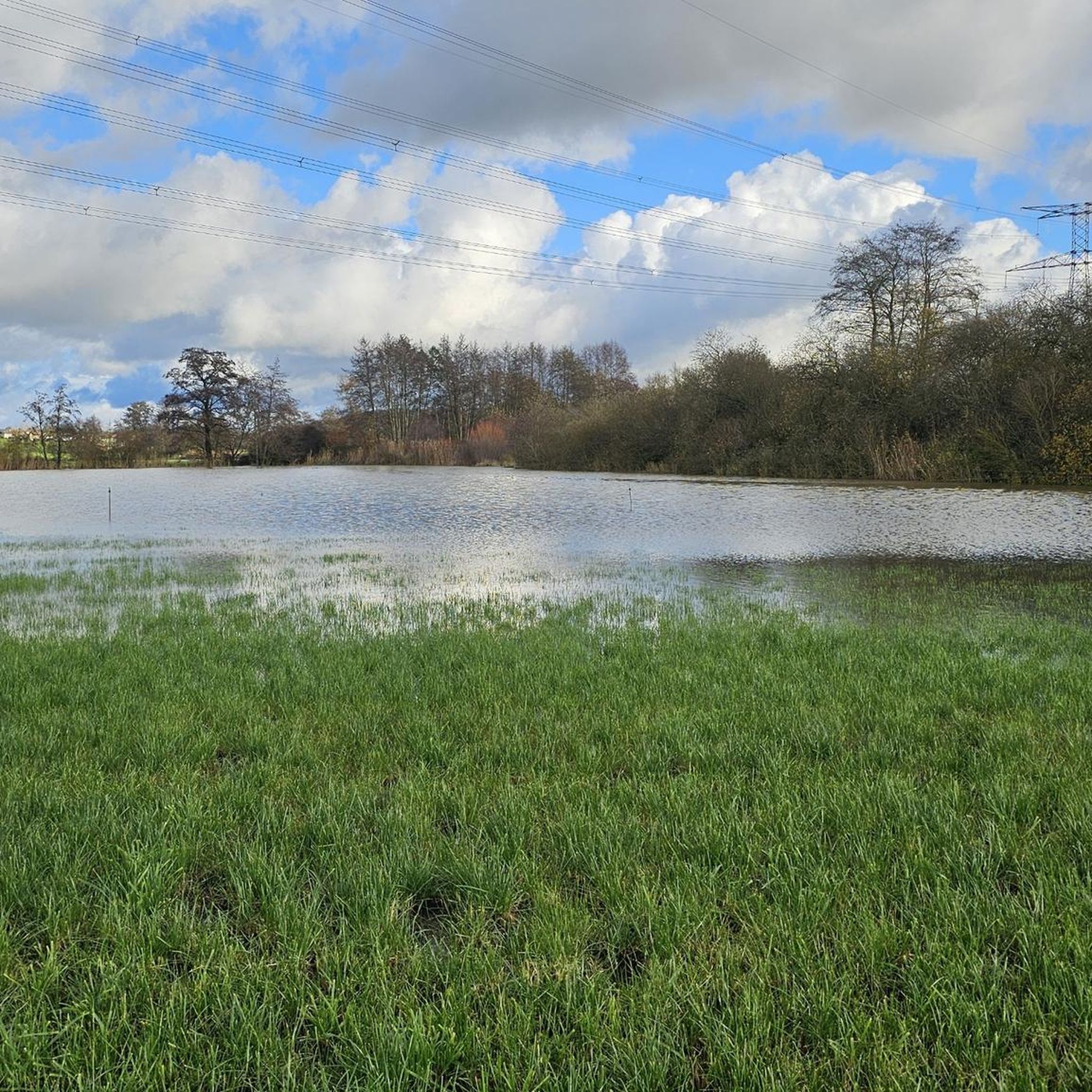
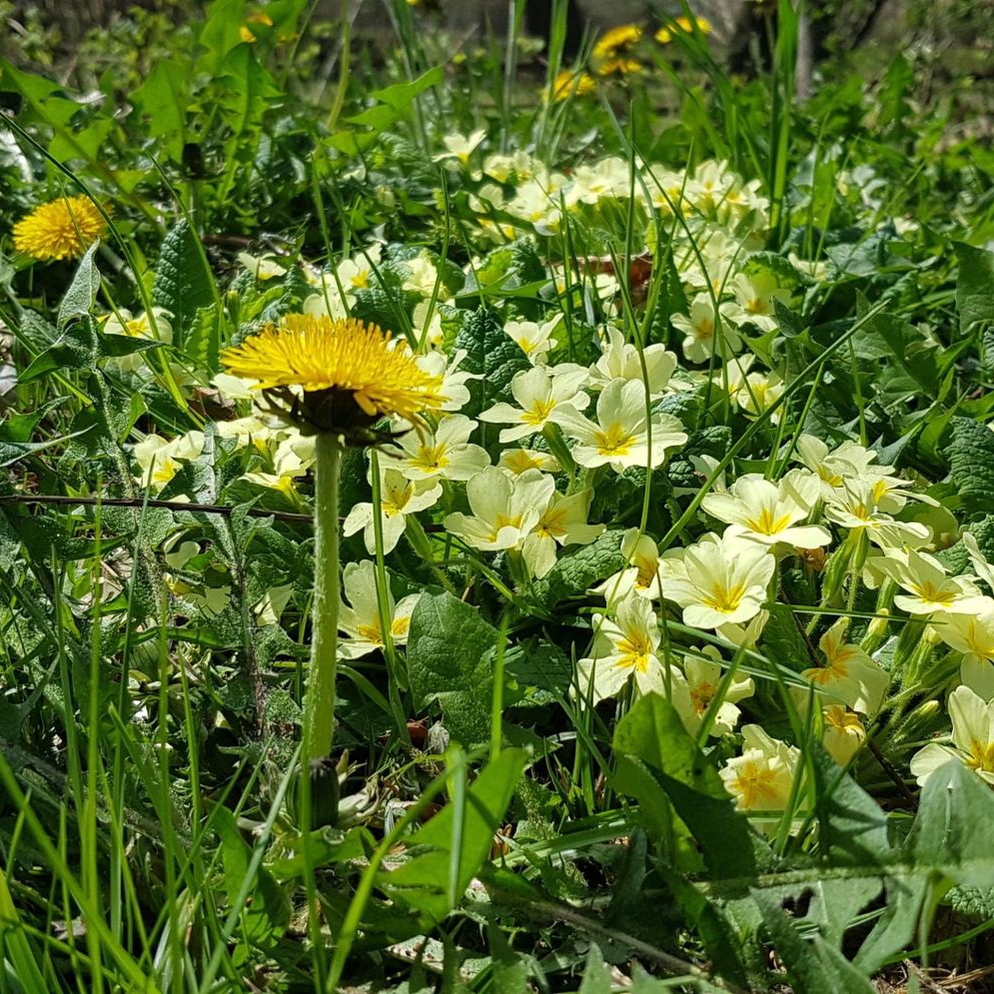
I liked a small biotope along the way
0
0
Nice rest area with a great view of the lake
2
0
Here you can do sports and enjoy the great view of the lake
0
0
Frequently Asked Questions
How many hiking trails are available around Lixing-Lès-Saint-Avold?
There are over 120 hiking routes around Lixing-Lès-Saint-Avold. These include a mix of easy, moderate, and some more challenging options, ensuring there's something for every hiker.
What is the general difficulty level of hiking trails in Lixing-Lès-Saint-Avold?
The trails around Lixing-Lès-Saint-Avold are predominantly easy to moderate. You'll find about 30 easy routes, nearly 90 moderate routes, and a smaller selection of 10 difficult trails, offering options for various fitness levels.
Are there any easy hikes suitable for beginners or families in Lixing-Lès-Saint-Avold?
Yes, there are several easy hikes perfect for beginners or families. For instance, the Fitness Trail – Outdoor Fitness Park loop from Saint-Avold is an accessible 3.7-mile (5.9 km) path through parkland. Another great option is the Outdoor Fitness Park – Fitness Trail loop from Valmont, which is 3.5 miles (5.7 km) long and also considered easy.
What kind of terrain can I expect on the hiking trails?
The terrain around Lixing-Lès-Saint-Avold is characterized by parkland and forested areas. You'll typically encounter gentle undulations and rolling hills, with moderate elevation changes. Many routes are established fitness trails or paths through natural green spaces.
Are there any circular walking routes in the area?
Yes, many of the trails around Lixing-Lès-Saint-Avold are circular, offering convenient starting and ending points. Examples include the Outdoor Fitness Park loop from Valmont and the Saint-Avold SNCF station – Fitness Trail loop from Altviller, both designed as loops.
What are some notable landmarks or attractions I can see near the hiking trails?
While hiking, you can explore several significant landmarks. These include the solemn Lorraine American Cemetery and Memorial, the historic Bonne Fontaine Chapel and Spring of Hoste, and the impressive Saint-Nabor Abbey Church of Saint-Avold. You might also encounter remnants of the Maginot Line or enjoy views from the Rocher de l’Edelweiss.
What do other hikers enjoy most about the trails in Lixing-Lès-Saint-Avold?
The trails in Lixing-Lès-Saint-Avold are highly rated by the komoot community, with an average score of 4.4 stars from over 300 reviews. Hikers often praise the well-maintained fitness trails, the peaceful parkland, and the accessibility of routes for various abilities.
Is it possible to access hiking trails using public transport?
Yes, some trails are accessible via public transport. For example, the Saint-Avold SNCF station – Fitness Trail loop from Altviller starts near the Saint-Avold SNCF station, making it convenient for those arriving by train.
Are the hiking trails in Lixing-Lès-Saint-Avold dog-friendly?
Many of the trails through parkland and forested areas are suitable for dogs, provided they are kept on a leash and you follow local regulations regarding pet waste. It's always a good idea to check specific trail rules or local signage before heading out with your dog.
Are there any longer or more challenging hikes for experienced hikers?
For experienced hikers seeking a longer challenge, the Bench With Lake View – Forest Bunker loop from Leyviller is a difficult 12.6-mile (20.3 km) route. This trail offers a more extensive exploration of the region's landscapes.
What is the best season for hiking in Lixing-Lès-Saint-Avold?
The region's parkland and forested trails are enjoyable throughout much of the year. Spring and autumn offer pleasant temperatures and beautiful scenery with blooming flowers or vibrant foliage. Summer is also suitable, especially in shaded forest sections, while winter can provide unique, crisp walking conditions, though some paths might be muddy or icy.
Most popular routes around Lixing-Lès-Saint-Avold
Most popular attractions around Lixing-Lès-Saint-Avold

Get inspired with the komoot mobile app


Explore more
Browse the best Hikes in other regions.
