The best MTB trails around Le Vernoy
4.6
(206)
698
riders
161
rides
Mountain bike trails around Le Vernoy offer diverse terrain in the Doubs department of eastern France. The region is characterized by wooded valleys, open plateaus, and dense forests, with elevations ranging from 373 to 500 meters within the village itself. This varied topography provides a mix of gentle and challenging paths, making it suitable for different mountain biking preferences. The area is also traversed by the Rupt river, adding scenic water features to many routes.
Best mountain bike trails around…
Last updated: June 30, 2026
3.8
(5)
17
riders
41.2km
03:42
680m
680m
Hard mountain bike ride. Good fitness required. Advanced riding skills necessary. Some portions of the route may require you to push your bike.
5.0
(1)
20
riders
76.6km
07:12
1,640m
1,640m
Hard mountain bike ride. Very good fitness required. Advanced riding skills necessary. Some portions of the route may require you to push your bike.

Sign up for free
4.5
(2)
2
riders
22.8km
02:03
370m
370m
Hard mountain bike ride. Good fitness required. Advanced riding skills necessary. Some portions of the route may require you to push your bike.
5
riders
38.5km
03:00
570m
570m
Hard mountain bike ride. Good fitness required. Advanced riding skills necessary. Some portions of the route may require you to push your bike.
5.0
(2)
5
riders
32.0km
02:58
590m
590m
Hard mountain bike ride. Good fitness required. Advanced riding skills necessary. Some portions of the route may require you to push your bike.
Get access to more routes and recommendations from other explorers.
Sign up for free
Already have an account?
Our route recommendations are based on thousands of hikes, rides, and runs completed by other people on komoot.
Start today with a free account
Your next adventure awaits.
Login or Signup
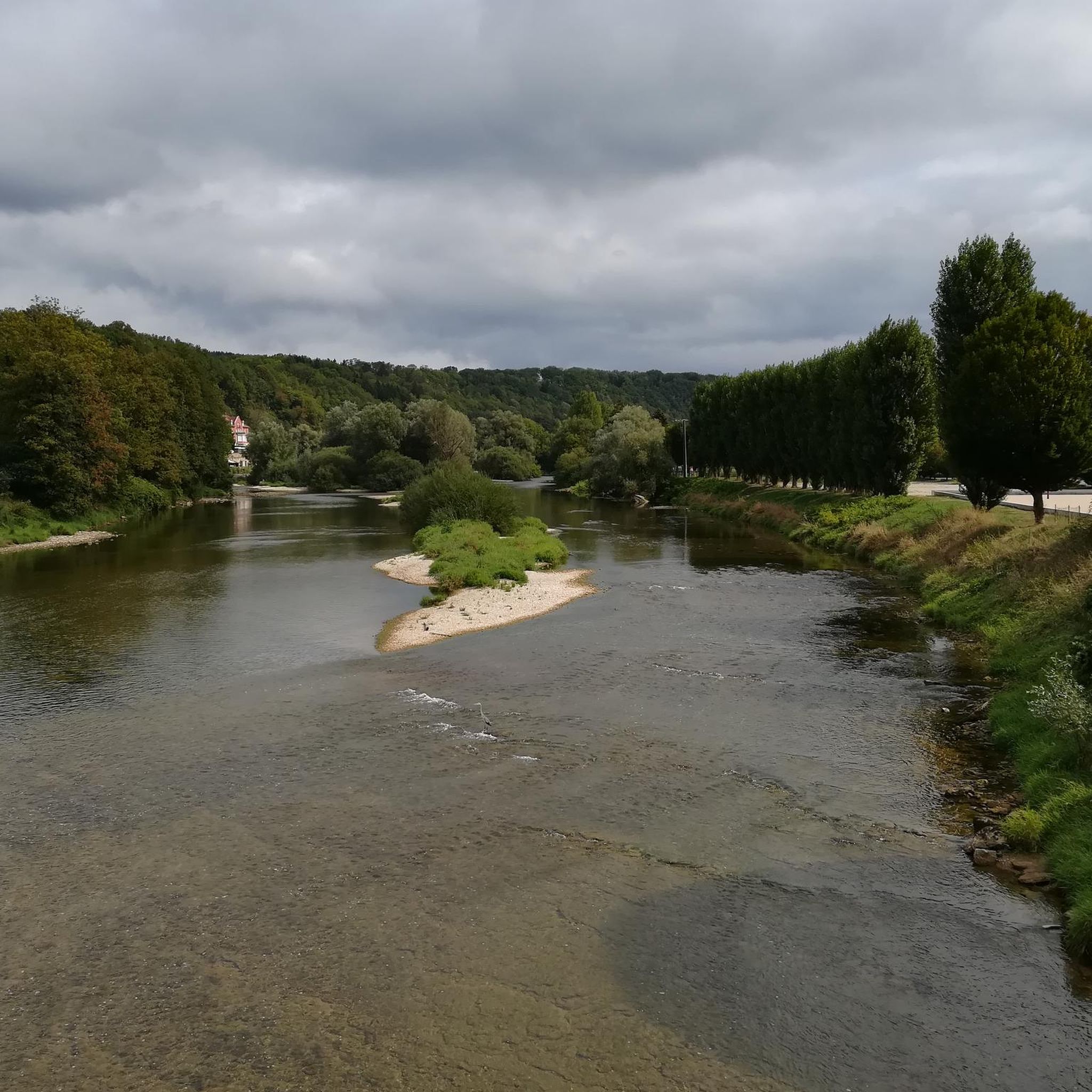
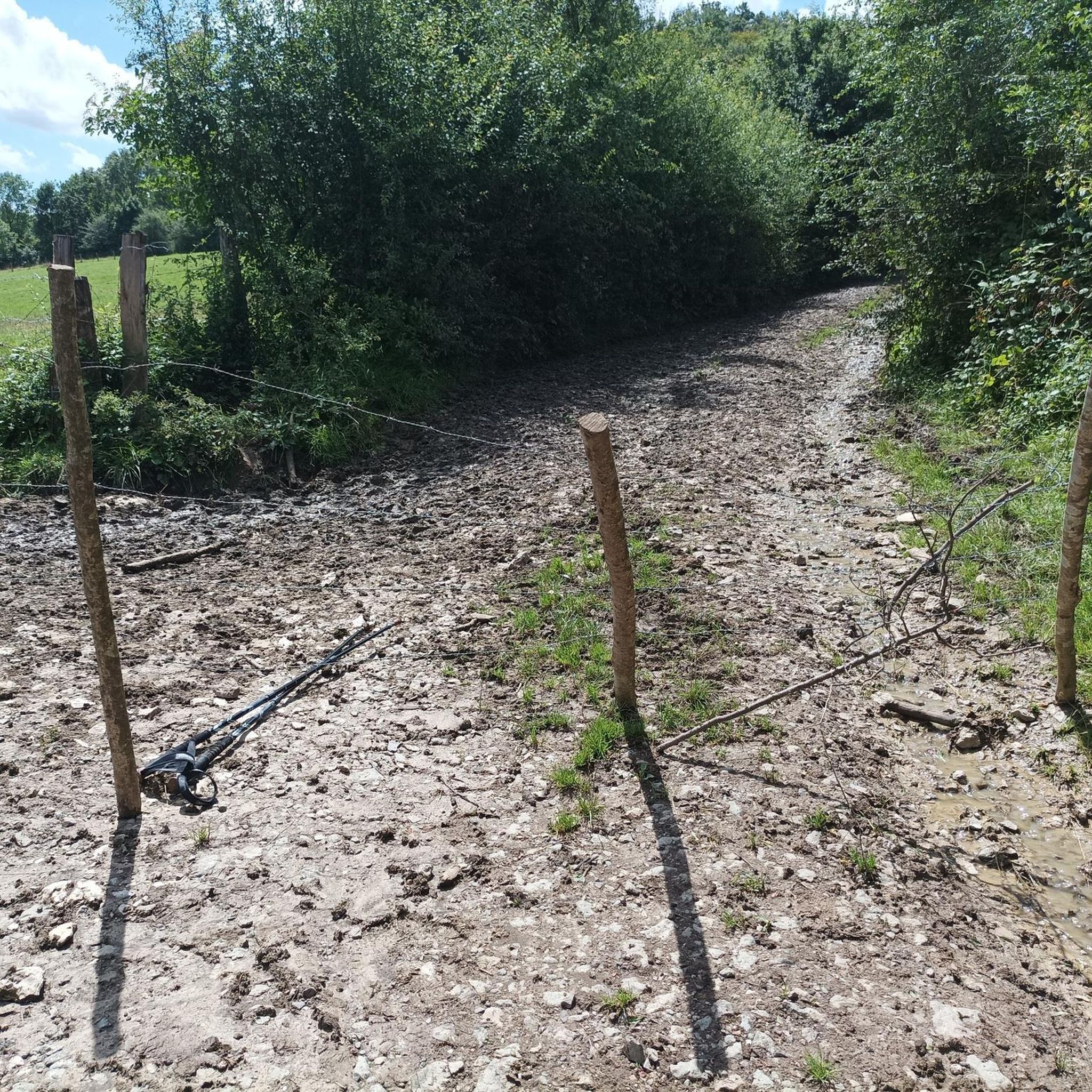

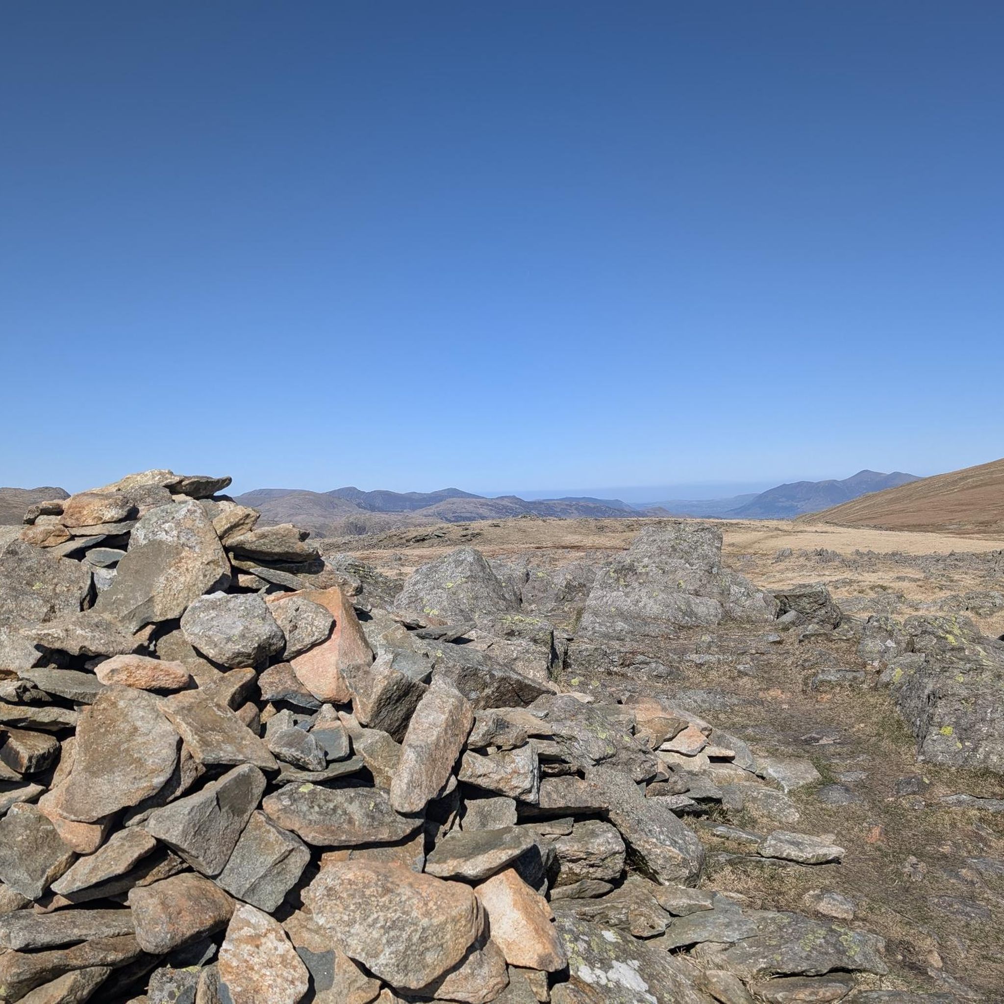

Tips from the Community

A good place for a break in the shade of the trees. There are picnic benches.
0
0


The Mont Bart viewpoint is a belvedere located on the top of a hill which houses a 19th century fort, built as part of the Séré de Rivières fortification system. From the fort's belvederes, you benefit from a panoramic view of the Pays de Montbéliard and the Alsace plain.
2
0
The Mont Bart fort is a 19th century fortification which dominates the Doubs and Allan valleys. The fort is part of the Séré de Rivières fortification system, built to protect French territory from a possible German invasion after the War of 1870. You can explore the fort and its surroundings, including the barracks, the bakery, the wine cellar magazines and the observation post. The fort is open to visitors from April to October, except Mondays.
2
1
If you're looking for a peaceful, scenic hike in the countryside, you can visit the Étang des Princes, a series of ponds that were once part of the Duchy of Montbéliard. You can admire the changing colors of the trees and the reflections of the water as you walk around the ponds.
2
1
The St Julien washhouse is a historic fountain-washhouse-watering trough, located in the center of the village of Saint-Julien-Lès-Montbéliard. You will be able to admire the architecture and history of this site which dates back to the 12th century. You can also enjoy the greenery and old stones of the village, which has a temple on the heights and a rural charm.
2
1
The construction of the Mont-Vaudois fort took 3 years between 1874 and 1877. In 1885, the invention of the torpedo shell, I suppose, bombarded the fort from above and led to the construction of an underground bunker as a defense. In 1944, faced with the advance of the Allies, a German unit occupied the fort and was driven out without success, despite a barrage of 3,000 shells. The Germans withdrew on their own. A testimony of this bunker built in 1885.
2
0
The construction of the Mont-Vaudois fort took 3 years between 1874 and 1877. In 1885, the invention of the torpedo shell, I suppose, bombarded the fort from above and led to the construction of an underground bunker as a defense. In 1944, faced with the advance of the Allies, a German unit occupied the fort and was driven out without success, despite a barrage of 3,000 shells. The Germans withdrew on their own. A testimony of this bunker built in 1885.
2
1
Frequently Asked Questions
How many mountain bike trails are there around Le Vernoy?
There are over 160 mountain bike trails around Le Vernoy. The region offers a diverse network of paths through wooded valleys, open plateaus, and dense forests, catering to various skill levels.
What is the general difficulty level of mountain bike trails in this area?
The mountain bike trails around Le Vernoy offer a mix of difficulties. While there are some moderate routes, a significant portion, around 100 out of 165, are classified as difficult, featuring considerable elevation changes and technical sections. There are also about 8 easier routes available.
Are there any family-friendly mountain bike trails near Le Vernoy?
While many trails are rated as difficult, the region's varied terrain means there are options for less experienced riders. Look for routes with lower elevation gain and shorter distances. The area's natural beauty, with its rivers and forests, can be enjoyed on gentler paths, though specific 'family-friendly' designations are not always explicit for mountain biking.
What kind of terrain can I expect on the mountain bike trails?
You can expect diverse terrain, including wooded valleys, open plateaus, and dense forests. The trails often feature natural surfaces, with some routes traversing along the scenic Rupt river. The elevation around Le Vernoy itself ranges from 373 to 500 meters, contributing to varied landscapes.
Are there many loop trails for mountain biking around Le Vernoy?
Yes, many of the mountain bike routes around Le Vernoy are designed as loops, allowing you to start and finish at the same point. Examples include the challenging Mont Vaudois Fort – La Diaichotte Forest Cabin loop from Champey and the scenic Réchal Pond loop from Champey.
What landmarks or points of interest can I see while mountain biking?
The region around Le Vernoy is rich in natural and historical sites. You might encounter the historical Mont Vaudois Fort, the ancient Dolmen de Brevilliers, or the intriguing Gonvillars Cave. The tranquil Le Rupt (Princes' Pond) is also a notable natural feature.
When is the best time of year to go mountain biking around Le Vernoy?
The Doubs department, where Le Vernoy is located, offers good conditions for mountain biking from spring through autumn. Summer provides warm weather, while spring and autumn offer cooler temperatures and vibrant foliage. Always check local weather conditions before heading out, especially after rain, as trails can become muddy.
Is parking available near the mountain bike trailheads?
While specific parking details for every trailhead are not provided, villages like Champey and Aibre, which serve as common starting points for routes such as the Déchaudey Pond – Viewpoint "sentier des Ducs loop from Aibre, typically offer public parking options. It's advisable to check maps or local information for designated parking areas before your ride.
What do other mountain bikers enjoy most about mountain biking in Le Vernoy?
The mountain bike trails around Le Vernoy are highly rated by the komoot community, with an average score of 4.5 stars from over 200 reviews. Riders often praise the varied terrain, the scenic beauty of the wooded valleys and rivers, and the challenging nature of many routes, which provide a rewarding experience.
Are there any mountain bike trails that pass by water features?
Yes, the region is traversed by the Rupt river, and several trails incorporate water features. For example, the Le Rupt (Princes' Pond) – Princes' Pond loop from Aibre specifically highlights the Princes' Pond. The Réchal Pond loop from Champey also leads past a tranquil pond.
Can I bring my dog on the mountain bike trails?
Many outdoor trails in France, especially in natural areas, are generally dog-friendly, provided dogs are kept under control, ideally on a leash, and owners clean up after them. However, it's always best to check specific local regulations or signage at trailheads, particularly in protected natural park areas, to ensure compliance.
Are there any long-distance mountain bike routes for experienced riders?
Yes, for experienced riders seeking longer distances and significant challenges, routes like the Déchaudey Pond – Viewpoint "sentier des Ducs loop from Aibre stand out. This difficult route covers nearly 77 km with over 1600 meters of elevation gain, offering a substantial ride through varied landscapes.
Most popular routes around Le Vernoy
Most popular attractions around Le Vernoy

Get inspired with the komoot mobile app


Explore more
Browse the best MTB trails in other regions.
