The best walks and hikes around Maslacq
4.3
(107)
821
hikers
44
hikes
Hiking around Maslacq offers routes through the rural landscapes of southwestern France. The terrain is characterized by gentle rolling hills, agricultural fields, and scattered woodlands, providing a mix of open views and shaded paths. Elevations are generally moderate, making the area accessible for various hiking abilities. The region's network of trails often connects to historical and pilgrimage routes, adding cultural interest to the natural surroundings.
Best hiking trails around Maslacq
- The most popular hiking route is Abbaye de Sauvelade –…
Last updated: August 26, 2026
4.4
(29)
178
hikers
25.0km
07:05
540m
540m
Hard hike. Very good fitness required. Easily-accessible paths. Suitable for all skill levels.
4.8
(6)
28
hikers
24.9km
06:41
300m
300m
Hard hike. Very good fitness required. Easily-accessible paths. Suitable for all skill levels.

Sign up for free
4.6
(5)
11
hikers
10.1km
02:53
240m
240m
Moderate hike. Good fitness required. Easily-accessible paths. Suitable for all skill levels.
3.0
(1)
17
hikers
17.2km
04:51
350m
350m
Moderate hike. Good fitness required. Easily-accessible paths. Suitable for all skill levels.
3.0
(2)
26
hikers
15.6km
04:20
290m
290m
Moderate hike. Good fitness required. Easily-accessible paths. Suitable for all skill levels.
Get access to more routes and recommendations from other explorers.
Sign up for free
Already have an account?
Our route recommendations are based on thousands of hikes, rides, and runs completed by other people on komoot.
Start today with a free account
Your next adventure awaits.
Login or Signup
Tips from the Community

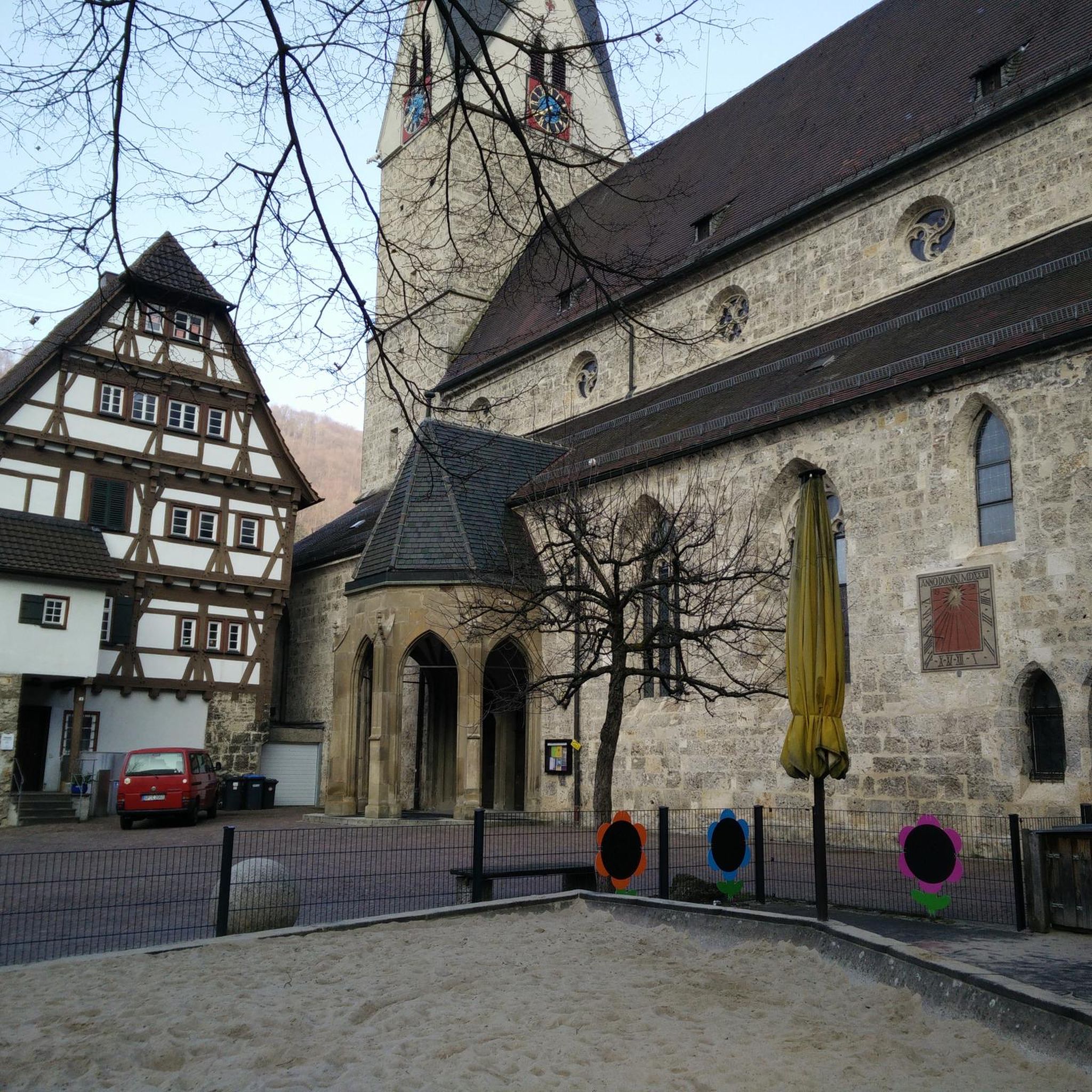
With the patronage of "John the Baptist," this parish has chosen a saint who is considered a forerunner of Jesus Christ. In Christian theology, he is the voice of one crying in the wilderness prophesied in the Old Testament book of Isaiah: "A voice calls out: 'In the wilderness, prepare the way of the Lord; make straight in the desert a highway for our God!'" (Lutheran Bible). John is the son of Zechariah and Elizabeth, who was visited by the Blessed Virgin Mary when she learned from the Archangel Gabriel that she herself would give birth to Jesus Christ, and her—until then childless—relative was still pregnant in old age. The feast day of Saint John the Baptist in the calendar of saints is June 24.
6
0

A good place to refill your water supply.
1
0

Nice shady rest area in the forest and on the Camino about 5 km before Navarrenx.
7
0

Normally signposted part of the Way of St. James / GR65 - not off-grid as shown by Komoot.
0
0

Arriving on Sevelade! Some pleasant mountain bike trails, crossing a small stream several times, once on an old bridge, the other thanks to a large board!
0
0
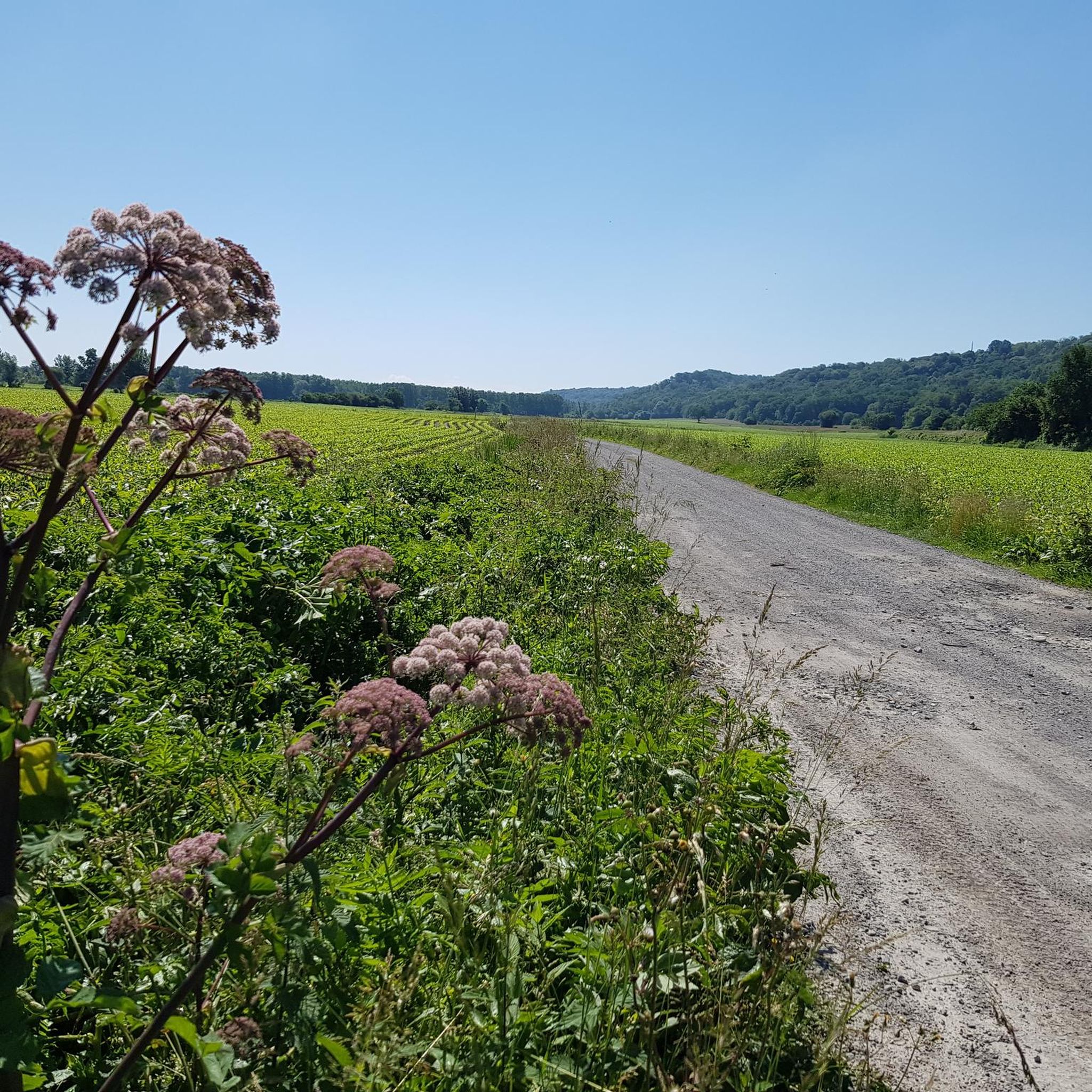
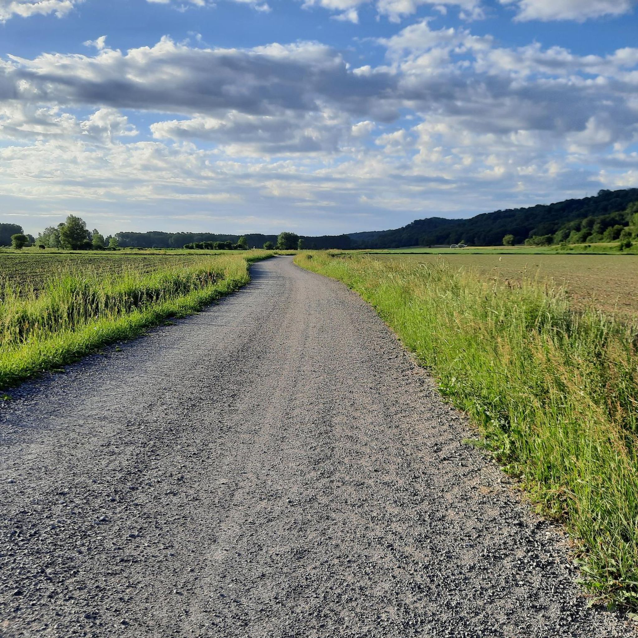
Nice path between the wheat fields! Accessible in gravel and mtb. We can see in the distance. mountains !
0
0

Due to the connection to the Way of St. James, a good infrastructure for hiking.
0
0

Sauvelade Abbey was founded by Benedictines in 1127 and later taken over by the Cistercian order. In 1385 there were 17 households there. https://fr.wikipedia.org/wiki/Sauvelade The monastery church is very simple, which can be attributed to the Cistercians. The Cistercians wanted to live exclusively from the work of their own hands. There was nothing left for magnificent stucco work and expensive architecture. This abbey was ravaged by the fearsome troops of Montgommery. However, the Cistercians were finally driven out in the French Revolution.
6
0
Frequently Asked Questions
How many hiking trails are available around Maslacq?
There are over 40 hiking trails around Maslacq, offering a variety of options for different skill levels. The region features a mix of easy strolls and more challenging moderate day hikes.
Are there easy hiking trails suitable for beginners in Maslacq?
Yes, Maslacq offers several easy routes perfect for beginners or those looking for a relaxed walk. For example, the Sauvelade Abbey – View of Landresse loop from Sauvelade is an easy 6 km trail that takes about 2 hours to complete.
What kind of terrain can I expect on hikes in Maslacq?
The terrain around Maslacq is characterized by gentle rolling hills, expansive agricultural fields, and scattered woodlands. You'll find a pleasant mix of open views and shaded paths, with generally moderate elevations.
Are there any circular walks available in Maslacq?
Yes, many of the trails around Maslacq are designed as circular routes, allowing you to start and end at the same point. A popular option is the Abbaye de Sauvelade – Rastplatz für Pilger loop from Sauvelade, which is a moderate 10.1 km circular trail.
What do other hikers enjoy most about hiking in Maslacq?
The komoot community highly rates the trails in Maslacq, with an average score of 4.3 stars. Hikers often praise the quiet rural scenery, the well-maintained paths, and the connection to historical pilgrimage routes that add cultural interest to the natural surroundings.
Are there any trails that pass by historical sites or landmarks?
Yes, the region's trail network often connects to historical and pilgrimage routes. The Abbaye de Sauvelade – Rastplatz für Pilger loop from Sauvelade, for instance, leads through historical sites and rural landscapes, offering a glimpse into the area's heritage.
Can I find longer, more challenging day hikes in Maslacq?
While most trails are moderate, there are options for longer day hikes. The Between the fields – Pilgrims' Rest Area loop from Lendresse is a moderate 17.3 km path, taking approximately 4 hours 52 minutes, offering expansive views and quiet paths for a longer outing.
Are the hiking trails in Maslacq suitable for families?
Many of the easier and shorter routes are suitable for families. The gentle terrain and well-defined paths make for enjoyable outings with children. Look for trails marked as 'easy' for the most family-friendly options.
What is the best time of year to go hiking in Maslacq?
The best time to hike in Maslacq is typically during spring and autumn when the weather is mild and the landscapes are vibrant. Summer can also be pleasant, but it's advisable to start early to avoid the midday heat. Winter hiking is possible, but some paths might be muddy.
Are there any hikes that feature lakes or water bodies?
Yes, you can find trails that include water features. The Lake Biron. loop from Sarpourenx is a moderate 10.6 km hike that takes you around Lake Biron, offering a different scenic experience.
Is it possible to hike with dogs on the trails around Maslacq?
Generally, dogs are welcome on most public hiking trails in rural France, including those around Maslacq. However, it's always recommended to keep your dog on a leash, especially when passing through agricultural fields or near livestock, and to respect local regulations.
Are there good options for parking at the trailheads in Maslacq?
Parking availability varies by trailhead. Many routes starting from villages or specific points of interest will have designated parking areas. It's advisable to check the route details on komoot for specific parking information for your chosen hike.
Most popular attractions around Maslacq

Get inspired with the komoot mobile app


Explore more
Browse the best Hikes in other regions.
