The best walks and hikes around Saint-Cibard
4.5
(51)
185
hikers
30
hikes
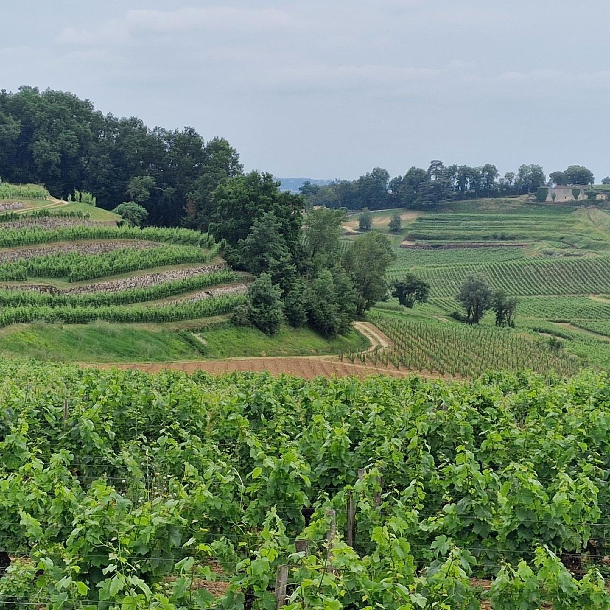
Hiking around Saint-Cibard offers routes through a landscape characterized by rolling agricultural fields and scattered woodlands. The terrain generally features gentle elevation changes, making it accessible for various activity levels. Trails often connect small villages and natural features, providing a mix of open views and shaded paths.
Best hiking trails around Saint-Cibard
- The most popular hiking route is Hidden Natural Pool loop from Saint-Cibard, a 2.5 miles (4.0 km) trail that takes 1 hour 5 minutes to complete. This…
Last updated: August 26, 2026
4.9
(9)
32
hikers
10.4km
02:45
100m
100m
Moderate hike. Good fitness required. Easily-accessible paths. Suitable for all skill levels.
5.0
(1)
7
hikers
15.8km
04:12
170m
170m
Moderate hike. Good fitness required. Easily-accessible paths. Suitable for all skill levels.

Sign up for free
4.3
(4)
6
hikers
4.02km
01:05
50m
50m
Easy hike. Great for any fitness level. Easily-accessible paths. Suitable for all skill levels.
4.0
(2)
7
hikers
19.6km
04:59
60m
60m
Moderate hike. Good fitness required. Easily-accessible paths. Suitable for all skill levels.
4.0
(2)
7
hikers
7.58km
02:02
90m
90m
Moderate hike. Good fitness required. Easily-accessible paths. Suitable for all skill levels.
Get access to more routes and recommendations from other explorers.
Sign up for free
Already have an account?
Our route recommendations are based on thousands of hikes, rides, and runs completed by other people on komoot.
Start today with a free account
Your next adventure awaits.
Login or Signup

Tips from the Community

Old church with beautiful stained glass windows
0
0

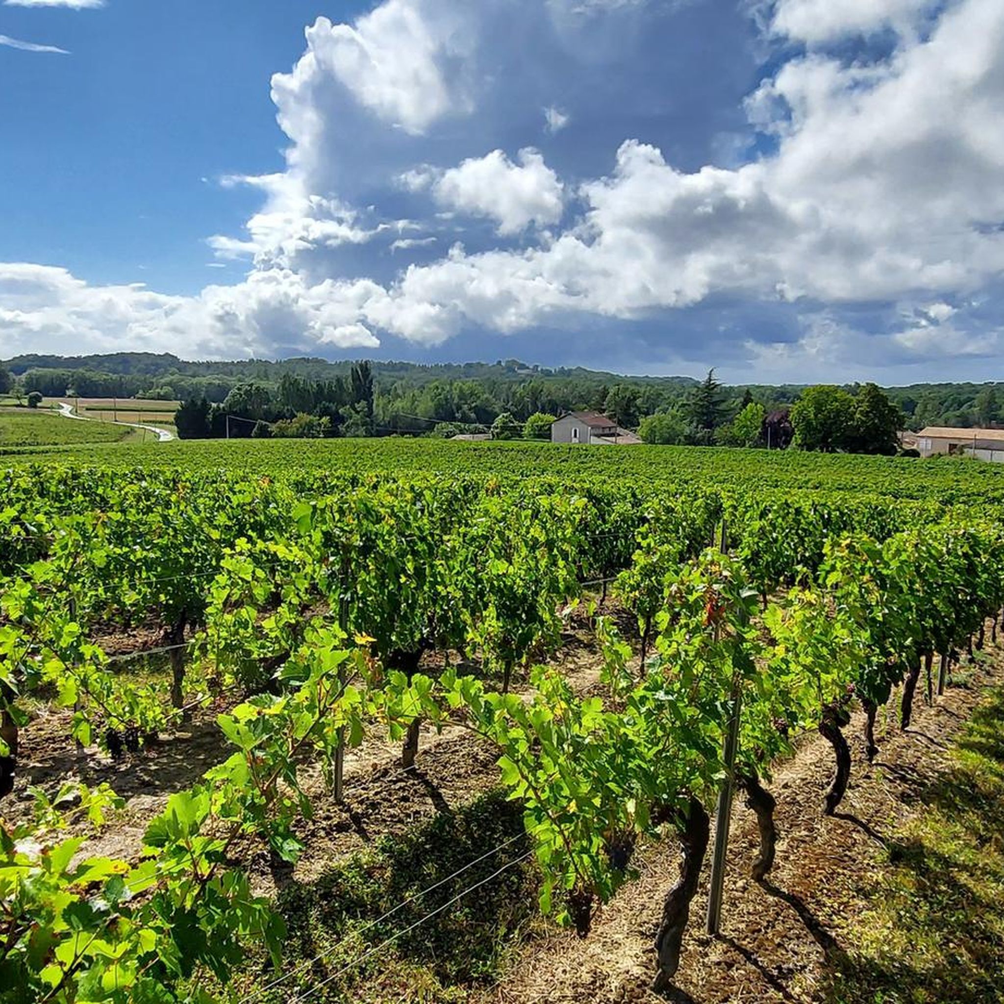
August 3, 2023 - passing showers. Very pretty little path that brings lots of surprises: vineyards, natural swimming pool, various springs, facade in Saint-Emilion stone (or Bordeaux stone), and varied landscapes.
0
0

pretty church
0
0
Beautiful town hall!
0
0

Nice view from the slightly elevated Villefranche-de-Lonchat to the plain in front of it.
1
0
Frequently Asked Questions
How many hiking trails are available around Saint-Cibard?
There are over 25 hiking trails around Saint-Cibard, offering a variety of experiences through its agricultural landscapes and woodlands. The routes range from easy strolls to more moderate excursions.
Are there easy hiking routes suitable for beginners in Saint-Cibard?
Yes, Saint-Cibard offers several easy routes perfect for beginners. An excellent option is the Hidden Natural Pool loop from Saint-Cibard, which is 2.5 miles (4.0 km) long and explores local natural features with gentle elevation changes.
What kind of terrain can I expect on hikes in Saint-Cibard?
The terrain around Saint-Cibard is characterized by rolling agricultural fields and scattered woodlands. You'll find generally gentle elevation changes, making most trails accessible. Routes often connect small villages and natural features, providing a mix of open views and shaded paths.
Are there any family-friendly hiking options in the area?
Many of the trails around Saint-Cibard are suitable for families due to their gentle nature and accessible terrain. The Hidden Natural Pool loop from Saint-Cibard is a good example of an easy, shorter route that families can enjoy together.
What are some notable landmarks or attractions to see while hiking near Saint-Cibard?
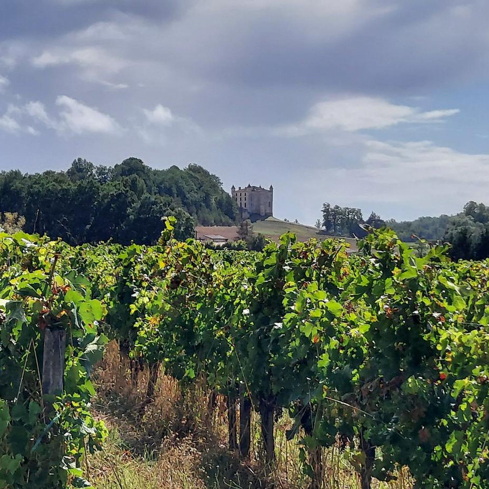
While hiking, you can explore several historical and natural points of interest. Consider visiting the Saint-Christophe Church or the impressive Château de Monbadon. The Dordogne at Castillon also offers scenic views.
Are there circular hiking routes available in Saint-Cibard?
Yes, many routes in the region are designed as loops. For example, the Montpeyroux church loop from Montpeyroux is a moderate 6.5-mile (10.4 km) circular path that features gentle ascents through rural scenery.
What is the best time of year to go hiking in Saint-Cibard?
The region's mild climate makes hiking enjoyable for much of the year. Spring and autumn offer pleasant temperatures and beautiful scenery, with blooming wildflowers or vibrant fall foliage. Summer can be warm, so early morning or late afternoon hikes are recommended.
Are there any challenging hiking trails for experienced hikers?
While Saint-Cibard is known for its gentle terrain, some routes offer longer distances and slightly more elevation gain for a moderate challenge. The Hiking loop from Villefranche-de-Lonchat, at 9.7 miles (15.6 km), provides a good workout through varied landscapes.
What do other hikers say about the trails in Saint-Cibard?
The trails around Saint-Cibard are highly rated by the komoot community, with an average score of 4.6 stars from over 40 reviews. Hikers often praise the peaceful rural scenery, well-maintained paths, and the opportunity to explore charming villages and historical sites.
Is there parking available at the trailheads?
Parking is generally available in or near the starting points of many trails, especially in the small villages that serve as trailheads. It's advisable to check specific route details on komoot for precise parking information for your chosen hike.
Can I reach any hiking trails using public transport?
While public transport options directly to every trailhead might be limited in this rural area, some routes start from or pass through villages that may have local bus services. For specific public transport connections, it's best to consult local transport schedules for the starting village of your chosen hike.
Are there any routes that pass by historical sites?
Yes, several routes incorporate historical elements. The Lussac Castle. – Kirche von Lussac loop from Lussac is a 4.7-mile (7.6 km) trail that leads through agricultural land and past historical sites, including the Lussac Castle.
Most popular attractions around Saint-Cibard

Get inspired with the komoot mobile app


Explore more
Browse the best Hikes in other regions.
