The best running trails around Argentières
4.1
(22)
1,110
runners
171
runs
Jogging routes around Argentières are set within a diverse landscape, though the specific routes provided in the guide appear to be located in a flatter region. The area features varied terrain, including paths that traverse open fields and pass by local churches. Elevation changes are generally modest across the available running routes.
Best jogging routes around Argentières
- The most popular jogging route is Château d'Arcy loop from Chaumes-en-Brie, a 12.1 miles (19.4 km) trail that takes 2 hours 3 minutes to complete. This difficult route features a total elevation gain of 435 feet (133 meters).
- Another top favourite among local runners is Verneuil Church – Thiou Ford loop from Chaumes-en-Brie, a difficult 9.9 miles (16.0 km) path. This route includes an elevation gain of 443 feet (135 meters) and offers a varied running experience.
- Local runners also love the Parc De Meaux – Château d'Arcy loop from Chaumes-en-Brie, a 8.9 miles (14.4 km) trail leading through open landscapes, often completed in about 1 hour 29 minutes.
- Jogging around Argentières is defined by routes that explore local landmarks and open countryside, with options for different ability levels.
- The routes in Argentières are highly rated by the komoot community with an average score of 3.9 stars from over 15 reviews. More than 1000 runners have used komoot to explore Argentières's varied terrain.
Last updated: July 1, 2026
15
runners
11.2km
01:18
80m
80m
Moderate run. Good fitness required. Mostly paved surfaces. Suitable for all skill levels.
8
runners
13.8km
01:26
50m
50m
Moderate run. Good fitness required. Mostly paved surfaces. Suitable for all skill levels.

Sign up for free
4
runners
8.96km
00:58
80m
80m
Moderate run. Good fitness required. Mostly paved surfaces. Suitable for all skill levels.
7
runners
7.79km
00:54
70m
70m
Moderate run. Good fitness required. Mostly paved surfaces. Suitable for all skill levels.
4
runners
7.33km
00:47
80m
80m
Moderate run. Good fitness required. Mostly paved surfaces. Suitable for all skill levels.
Get access to more routes and recommendations from other explorers.
Sign up for free
Already have an account?
Our route recommendations are based on thousands of hikes, rides, and runs completed by other people on komoot.
Start today with a free account
Your next adventure awaits.
Login or Signup

Tips from the Community

The church of Verneuil was built in the 19th century. The town of Verneuil is otherwise mainly surrounded by fields, with significant agricultural activity.
1
0
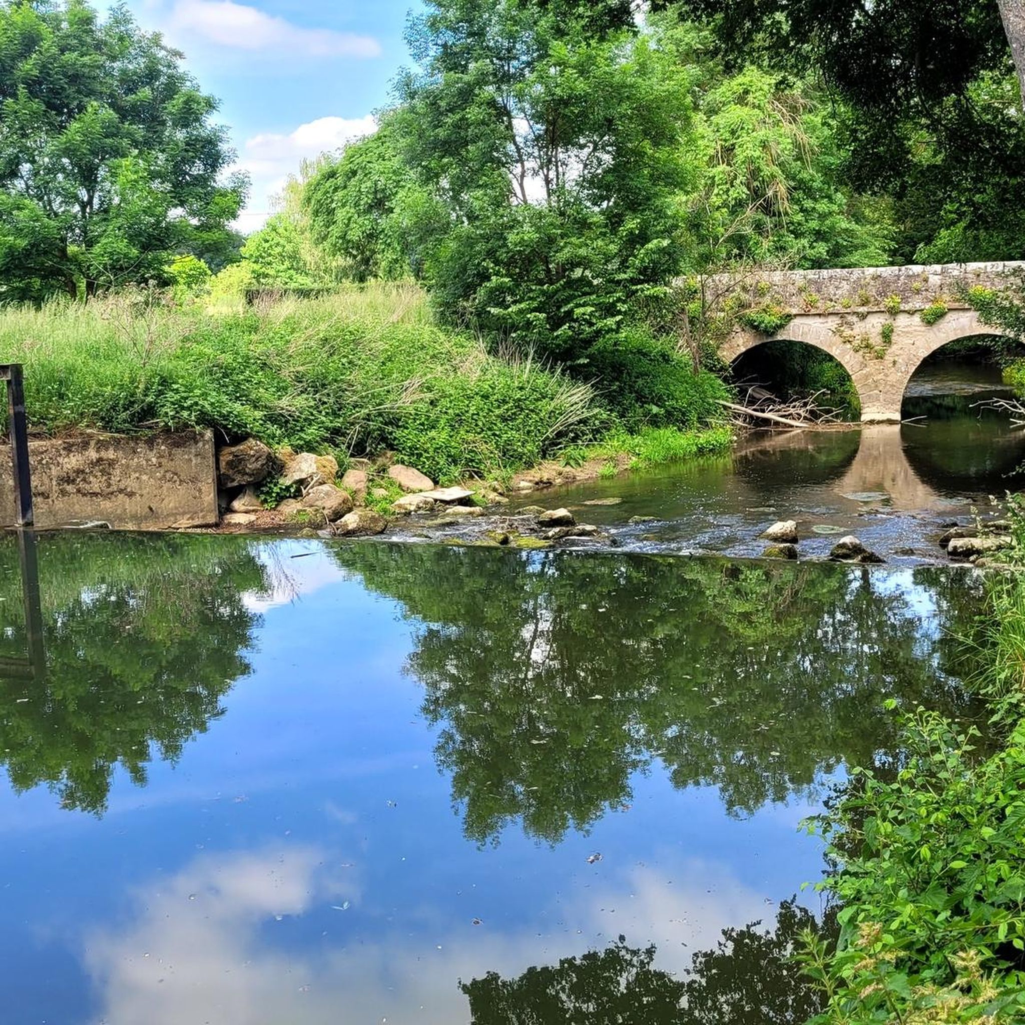
Bucolic passage on the Ru de Bréon. Take advantage of the greenery and a shaded part in summer, but beware of the slippery ground, especially when it is wet or covered with dead leaves!
2
0
Frequently Asked Questions
How many running routes are available in the Argentières area?
The Argentières region offers a wide variety of running experiences, with over 160 routes documented on komoot. These range from easy, relatively flat paths to more challenging trails with significant elevation changes, catering to all fitness levels.
What are the difficulty levels of jogging routes around Argentières?
Jogging routes in Argentières vary significantly in difficulty. While some routes in this guide feature modest elevation changes and are considered moderate, the broader region, particularly the alpine areas, offers challenging trails with steep ascents and technical terrain. You'll find 9 easy routes, 126 moderate routes, and 31 difficult routes in the area.
Are there any running routes that pass by historical landmarks or points of interest?
Yes, several running routes in the Argentières area allow you to explore local landmarks. For instance, the Verneuil Church loop from Argentières is a moderate route that takes you past the Verneuil Church. Additionally, you can find routes that pass by historical sites like Fief des Époisses or various castles such as Château du Vivier and Château de Monceau.
What do other runners say about the trails in Argentières?
The running trails in Argentières are highly regarded by the komoot community, boasting an average rating of 3.9 stars from over 15 reviews. More than 1000 runners have used komoot to explore the diverse terrain, often praising the varied running experience and the opportunities to discover local landmarks and open countryside.
Are there any longer, more challenging running trails for experienced runners?
For experienced runners seeking a challenge, Argentières offers several difficult routes. The Château d'Arcy loop from Chaumes-en-Brie is a demanding 12.1-mile (19.4 km) trail with an elevation gain of 435 feet (133 meters). Another popular difficult option is the Verneuil Church – Thiou Ford loop from Chaumes-en-Brie, which covers 9.9 miles (16.0 km) with a similar elevation gain.
Can I find moderate-difficulty running routes in Argentières?
Yes, the majority of running routes in Argentières are classified as moderate, with 126 such trails available. A great option is the Parc De Meaux – Château d'Arcy loop from Chaumes-en-Brie, an 8.9-mile (14.4 km) trail that leads through open landscapes and is often completed in about 1 hour 29 minutes.
What kind of landscapes can I expect on a run in Argentières?
The Argentières region offers a diverse running landscape. While some routes in this guide traverse open fields and pass by local churches with modest elevation changes, the broader area is known for its stunning alpine scenery, including breathtaking views of towering mountain peaks, vast glaciers, and the Aiguilles Rouges Nature Reserve. You can expect a mix of valley floor runs and more challenging mountain trails.
Are there any running routes that are good for a quick, shorter run?
Yes, if you're looking for a shorter run, the Running loop from Chaumes-en-Brie is a moderate 4.3-mile (6.9 km) trail that can be completed in just over 40 minutes, offering a pleasant experience without a significant time commitment.
What are the typical elevations and distances for running trails in Argentières?
The running trails in Argentières offer a range of distances and elevations. Distances can vary from shorter loops around 4 miles (6.9 km) to longer, more challenging routes exceeding 12 miles (19 km). Elevation gains are generally modest on the routes featured in this guide, typically ranging from 50 to 135 meters, though the wider alpine region can present much more significant ascents.
Are there any specific attractions or natural features to look out for while running in Argentières?
Beyond the routes themselves, the Argentières region is rich in natural beauty and cultural sites. You might encounter charming hamlets, the baroque Eglise de Saint-Pierre, or enjoy views of the Argentière glacier and iconic peaks like the Aiguille Verte. The Aiguilles Rouges Nature Reserve also offers spectacular vistas and rich biodiversity.
What is the best time of year for trail running in Argentières?
Argentières is popular with trail runners, especially during the summer months when the weather is generally favorable and the extensive network of trails is most accessible. However, the diverse terrain means that different seasons can offer unique experiences, from lush green valleys to snow-dusted paths in winter, though some higher-altitude trails may be inaccessible due to snow.
Most popular routes around Argentières
Most popular attractions around Argentières

Get inspired with the komoot mobile app


Explore more
Browse the best Running Trails & Routes in other regions.
