The best running trails around Tœufles
3.8
(35)
1,920
runners
111
runs
Jogging routes around Tœufles offer access to the diverse natural landscapes of the Somme region in France. The area is characterized by its proximity to the Bay of Somme, providing expansive sandy beaches and unique ecosystems. Inland, runners can find marshlands, dunes, and forests, alongside tranquil rivers. This varied terrain ensures a range of running experiences, from coastal paths to shaded forest trails.
Best jogging routes around Tœufles
- The most popular jogging route is Bois Jean de Bray loop from…
Last updated: August 23, 2026
9
runners
7.42km
00:52
60m
60m
Moderate run. Good fitness required. Mostly paved surfaces. Suitable for all skill levels.
6
runners
12.6km
01:18
70m
70m
Moderate run. Good fitness required. Mostly paved surfaces. Suitable for all skill levels.

Sign up for free
4
runners
9.77km
01:11
120m
120m
Moderate run. Good fitness required. Mostly paved surfaces. Suitable for all skill levels.
3
runners
11.6km
01:15
70m
70m
Moderate run. Good fitness required. Mostly paved surfaces. Suitable for all skill levels.
3
runners
4.69km
00:31
70m
70m
Easy run. Great for any fitness level. Mostly paved surfaces. Suitable for all skill levels.
Get access to more routes and recommendations from other explorers.
Sign up for free
Already have an account?
Our route recommendations are based on thousands of hikes, rides, and runs completed by other people on komoot.
Start today with a free account
Your next adventure awaits.
Login or Signup



Tips from the Community

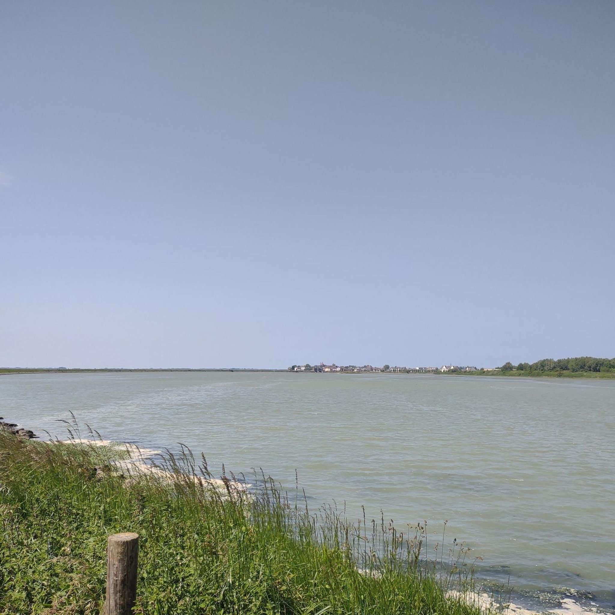
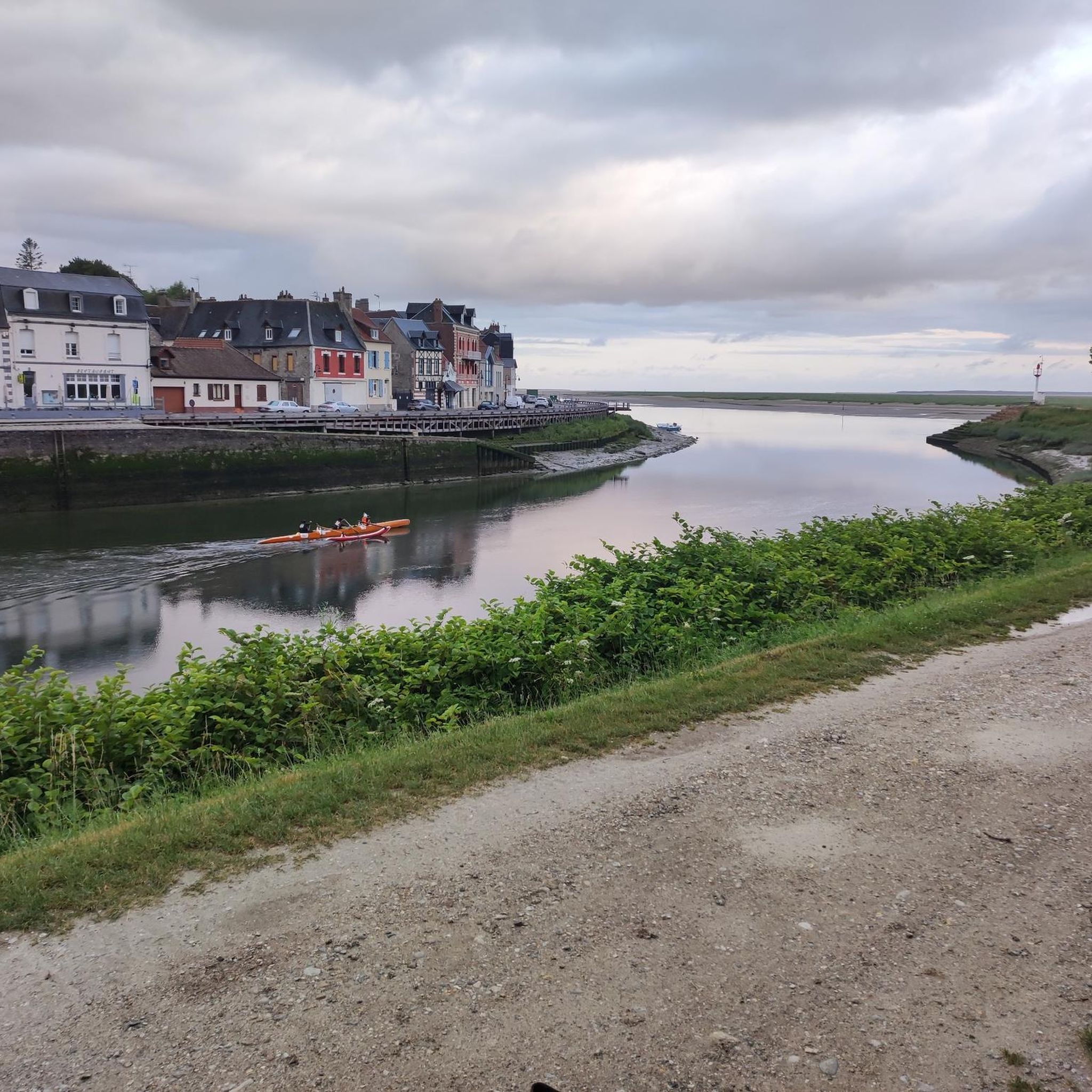
The manor house from the 16th-18th Century now offers guest rooms. Information on the building at https://monumentum.fr/manoir-pa00116201.html
0
0
Frequently Asked Questions
How many running routes are available around Tœufles?
The Tœufles area offers a wide selection of running routes, with over 100 trails available. These routes cater to various fitness levels, including easy, moderate, and difficult options.
What kind of terrain can I expect on the jogging trails near Tœufles?
Jogging routes around Tœufles feature diverse terrain. You can expect coastal paths near the Bay of Somme, offering expansive sandy beaches, as well as inland trails through marshlands, dunes, and shaded forests. Many routes also follow tranquil rivers, providing a varied running experience.
Are there easy running routes suitable for beginners in the Tœufles area?
Yes, there are several easy running routes perfect for beginners. For instance, the Running loop from Quesnoy-le-Montant is an easy 4.3 km (2.7 miles) path with minimal elevation gain, offering a gentle introduction to running in the region.
Can I find longer, more challenging running trails near Tœufles?
Absolutely. For those seeking a challenge, the region offers difficult routes with significant elevation. A notable option is the Bois Jean de Bray loop from Béhen, a demanding 21.5 km (13.3 miles) trail that takes approximately 2 hours 31 minutes to complete, featuring substantial climbs through the local landscape.
Are there any circular running routes around Tœufles?
Many of the running paths in the Tœufles area are designed as circular routes, allowing you to start and finish at the same point. Examples include the Miannay Manor loop from Miannay, a moderate 7.4 km (4.6 miles) path, and the Running loop from Valines, which is 12.6 km (7.8 miles).
What are some scenic viewpoints or natural attractions I can see while running?
The Tœufles region is rich in natural beauty. While running, you might encounter the expansive views of the Bay of Somme, the diverse ecosystems of marshlands and dunes, or tranquil riverbanks. Although not directly on the routes, nearby attractions include the Cycle path along the Canal Somme and the Kanal der Somme, which offer picturesque settings.
How do other runners rate the trails in Tœufles?
The running routes in Tœufles are highly regarded by the komoot community, boasting an average rating of 4.3 stars from over 20 reviews. Runners often praise the varied terrain and the opportunity to explore the natural beauty of the Somme region.
Are the running routes around Tœufles suitable for families?
Yes, the Tœufles area offers routes suitable for families, particularly the easier and shorter options. These paths provide a great way to enjoy the outdoors together, with gentle gradients and scenic surroundings. Always check the route's difficulty and length to ensure it matches your family's capabilities.
Are there dog-friendly running options in the Tœufles region?
Many of the natural trails and paths in the Tœufles region are suitable for running with dogs, allowing you to explore the diverse landscapes together. However, it's always recommended to keep your dog on a leash and be mindful of local regulations, especially in nature reserves or agricultural areas.
What is the best time of year to go jogging in Tœufles?
The Somme region, including Tœufles, experiences an oceanic climate with mild winters and cool summers, making it generally favorable for outdoor activities year-round. Spring and autumn often offer pleasant temperatures and beautiful scenery, while summer provides longer daylight hours. Winter runs can be invigorating, especially along the coast.
Are there any running routes that pass by interesting historical sites or landmarks?
While the primary focus of Tœufles' running routes is natural landscapes, the broader Somme region is rich in history. Some routes may pass through charming villages or offer views of historical architecture. For example, the historic town of Saint-Valéry-sur-Somme, just 10 km away, offers picturesque settings and medieval streets that can be incorporated into a run.
Where can I find parking for the running trails near Tœufles?
Parking availability varies by specific trailhead. Many routes start from small villages or designated parking areas. It's advisable to check the details for individual routes on komoot, as they often provide information on starting points and nearby parking facilities.
Is it possible to access the running trails around Tœufles using public transport?
Access to some running trails around Tœufles via public transport might be limited, as Tœufles itself is a smaller locality. However, larger towns in the Somme region, such as Saint-Valéry-sur-Somme, have better public transport links. From these points, you might be able to connect to trails or reach starting points for runs. Planning your route in advance and checking local bus schedules is recommended.
Most popular attractions around Tœufles

Get inspired with the komoot mobile app


Explore more
Browse the best Running Trails & Routes in other regions.
