The best road cycling routes around Arnoldstein
4.5
(1004)
31,346
riders
16
rides
Road cycling routes around Arnoldstein are situated at the tri-border point of Austria, Italy, and Slovenia, offering diverse landscapes for cyclists. The region features alpine scenery, including parts of the Julian Alps and Karawanken mountains, alongside alpine valleys and rivers such as the Gail and Drau. Cyclists can navigate routes that incorporate challenging mountain passes and well-developed cycle paths.
Best road cycling routes around Arnoldstein
- The most popular road cycling route is Predil Pass – Lake Predil loop from Arnoldstein…
Last updated: September 27, 2026
4.8
(61)
1,929
riders
113km
05:50
1,850m
1,850m
Hard road ride. Very good fitness required. Some segments of this route may be unpaved and difficult to ride.
4.8
(17)
780
riders
104km
05:19
1,630m
1,630m
Hard road ride. Very good fitness required. Mostly well-paved surfaces and easy to ride.

4.4
(5)
192
riders
58.0km
02:29
410m
410m
Moderate road ride. Good fitness required. Some segments of this route may be unpaved and difficult to ride.
4.8
(17)
380
riders
96.7km
04:39
1,260m
1,260m
Hard road ride. Very good fitness required. Mostly well-paved surfaces and easy to ride.
5.0
(2)
134
riders
67.8km
03:28
1,050m
1,050m
Hard road ride. Very good fitness required. Mostly well-paved surfaces and easy to ride.
Get access to more routes and recommendations from other explorers.
Already have an account?
Our route recommendations are based on thousands of hikes, rides, and runs completed by other people on komoot.
Start today with a free account
Your next adventure awaits.
Popular around Arnoldstein
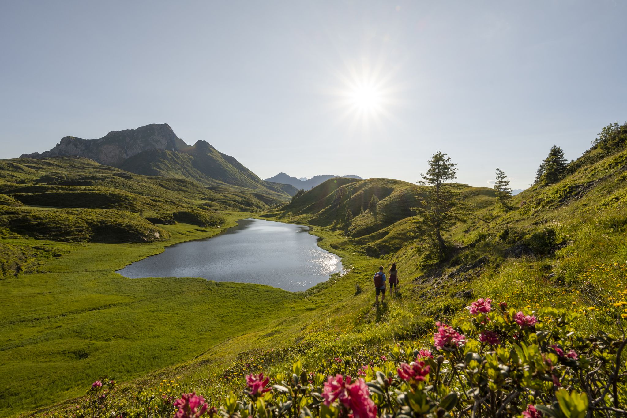
Long hikes on the southern side of the Austrian Alps – in Carinthia
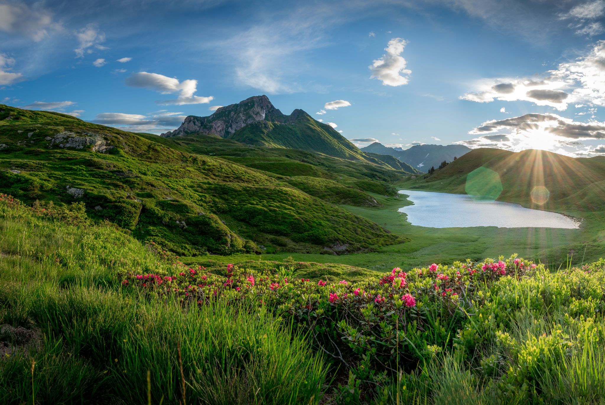
Southern Alpine Trail – Styrian vineyards and the Carnic Alps in Austria
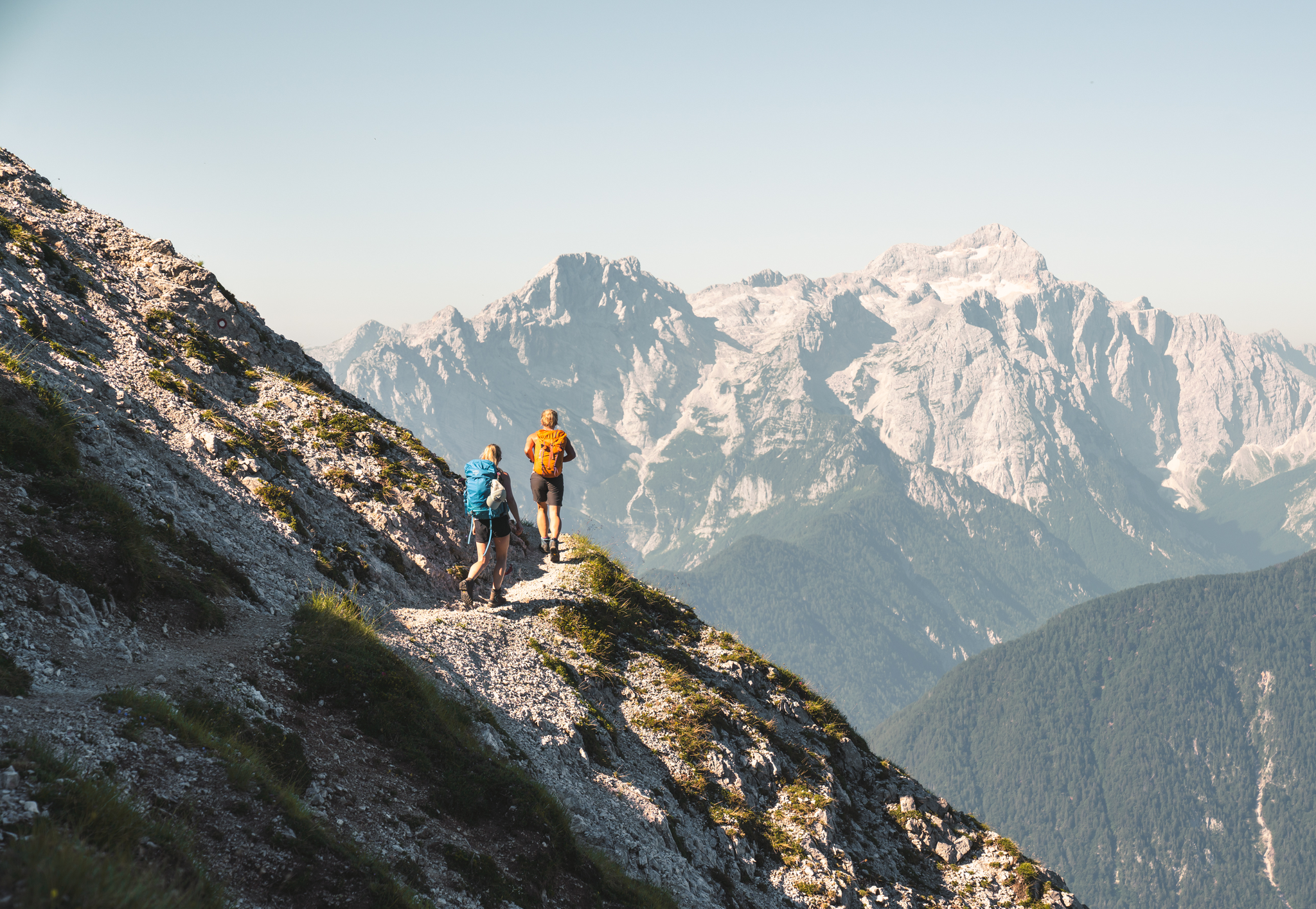
Sunny adventures on the Southern Alps Panorama Trail
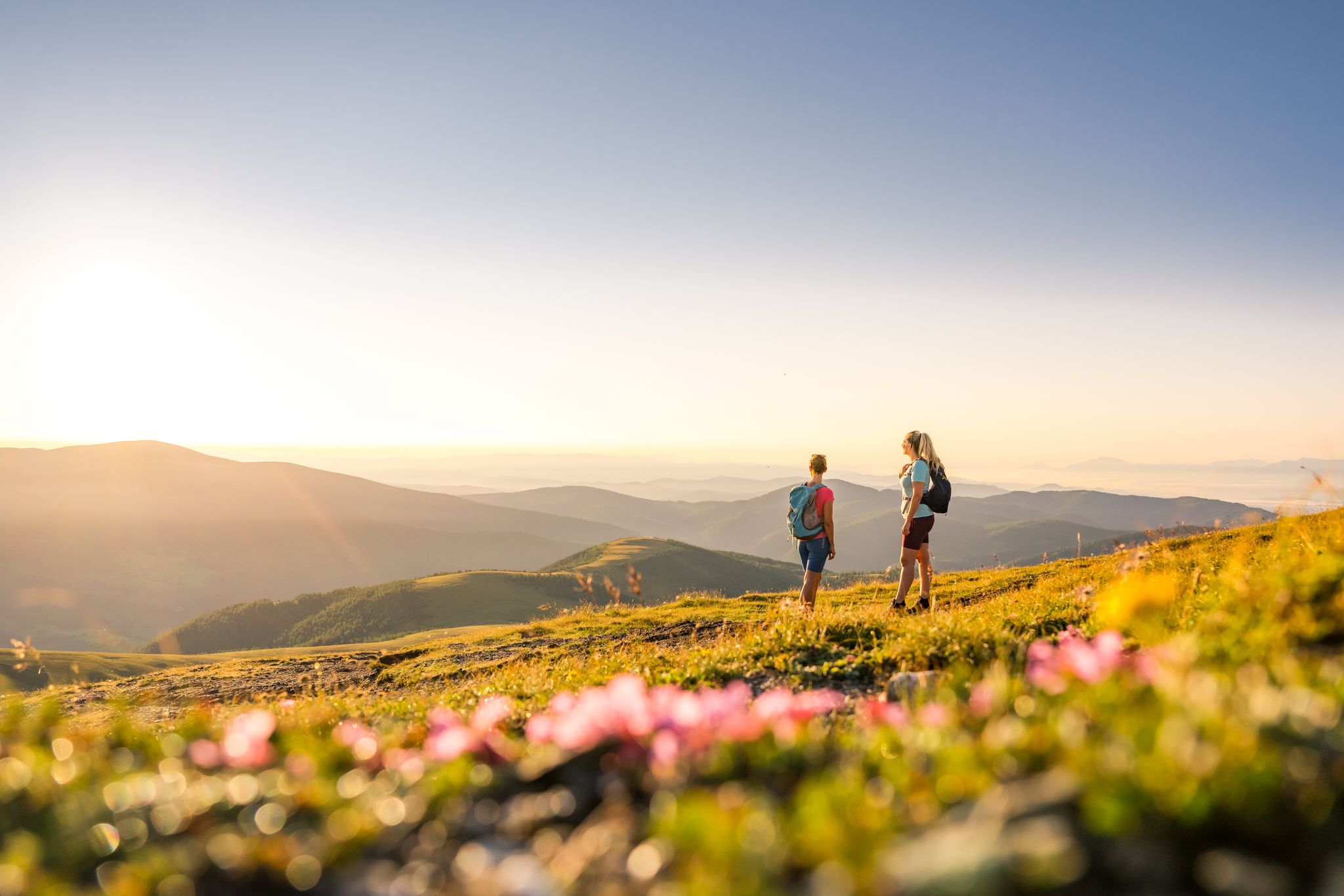
Spectacular and historic – long-distance hiking in Carinthia
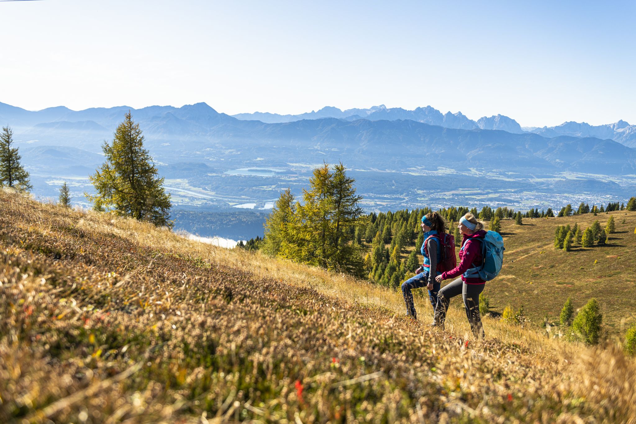
Autumnal mountain hut treks in the Villach region
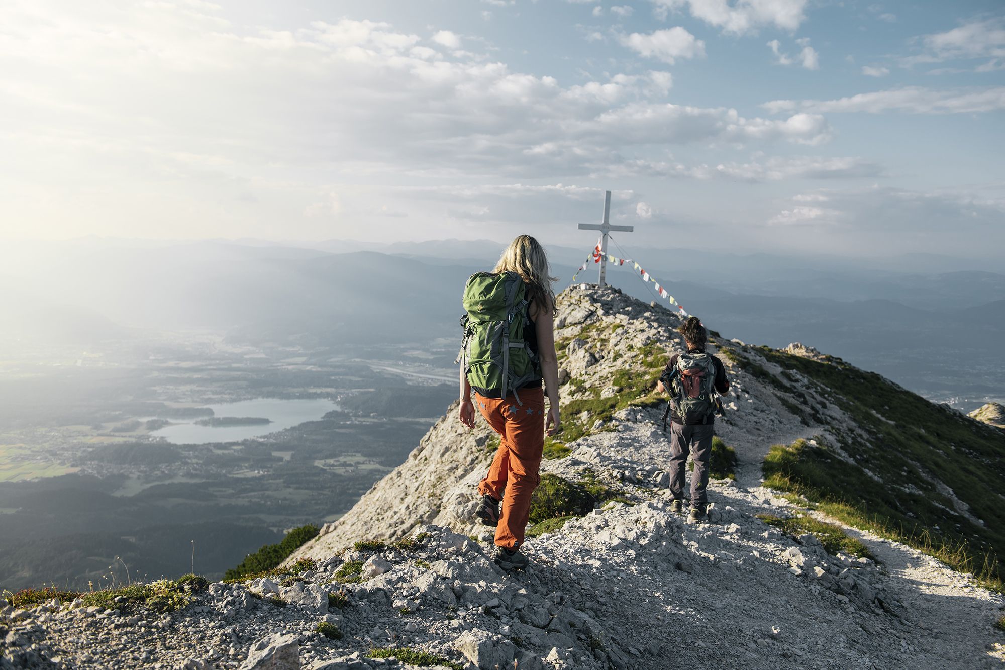
Hike to the most beautiful views around Villach in Austria
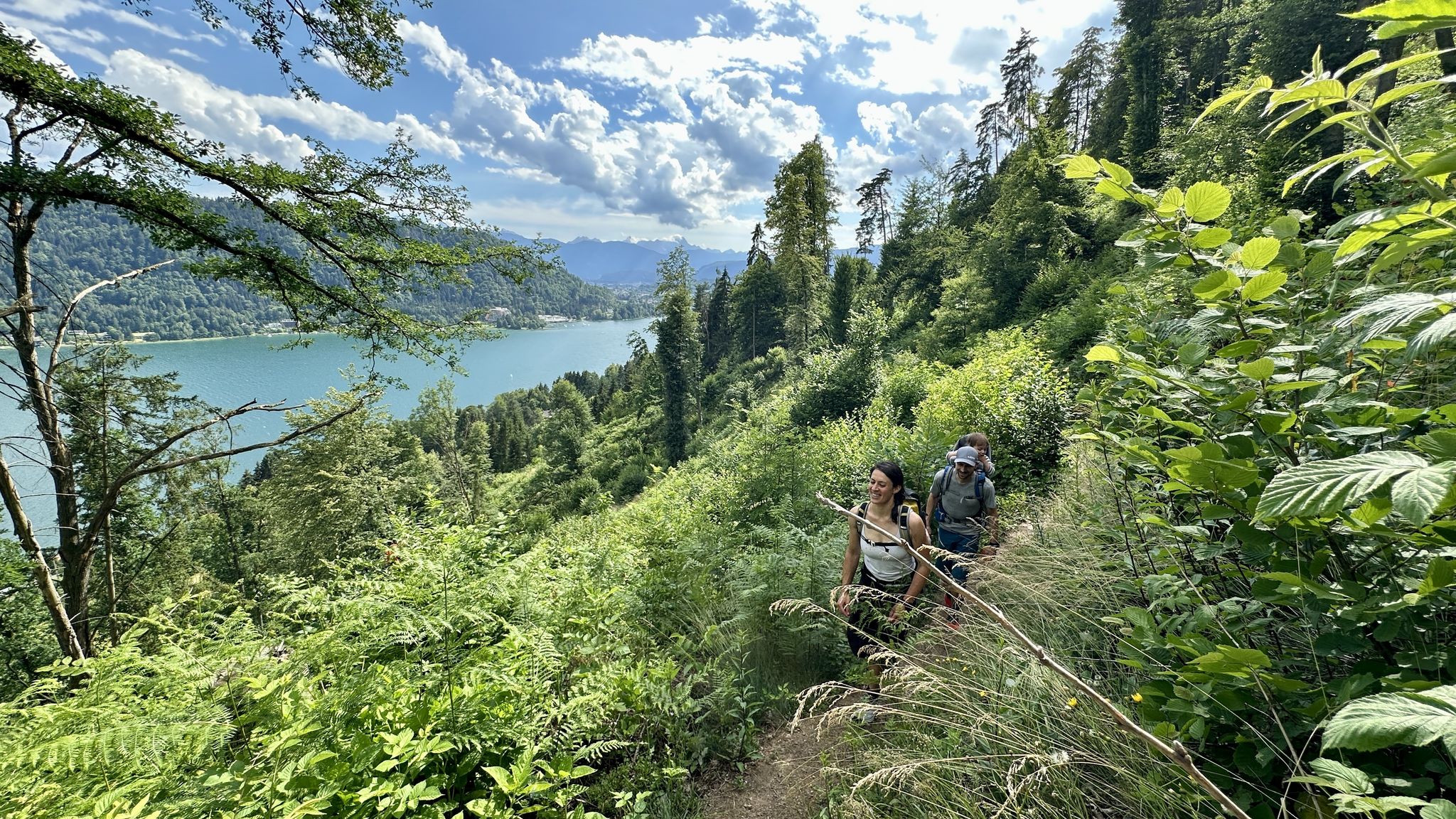
Rail & Trail: Bahnwandern in Kärnten
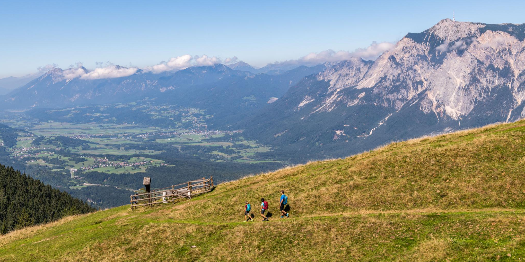
Grenzenlos unterwegs am Drei.Länder.Eck
Hiking around Arnoldstein
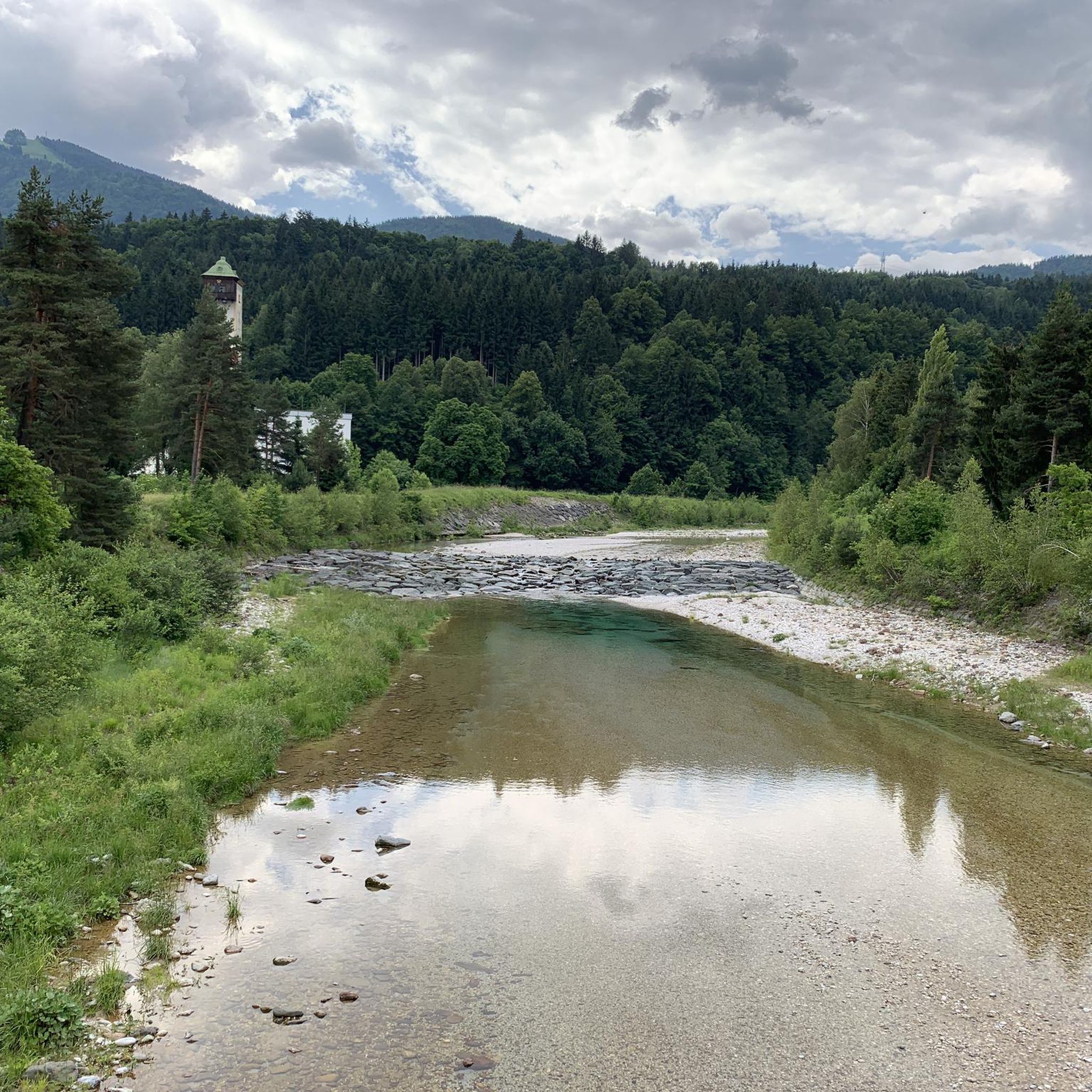
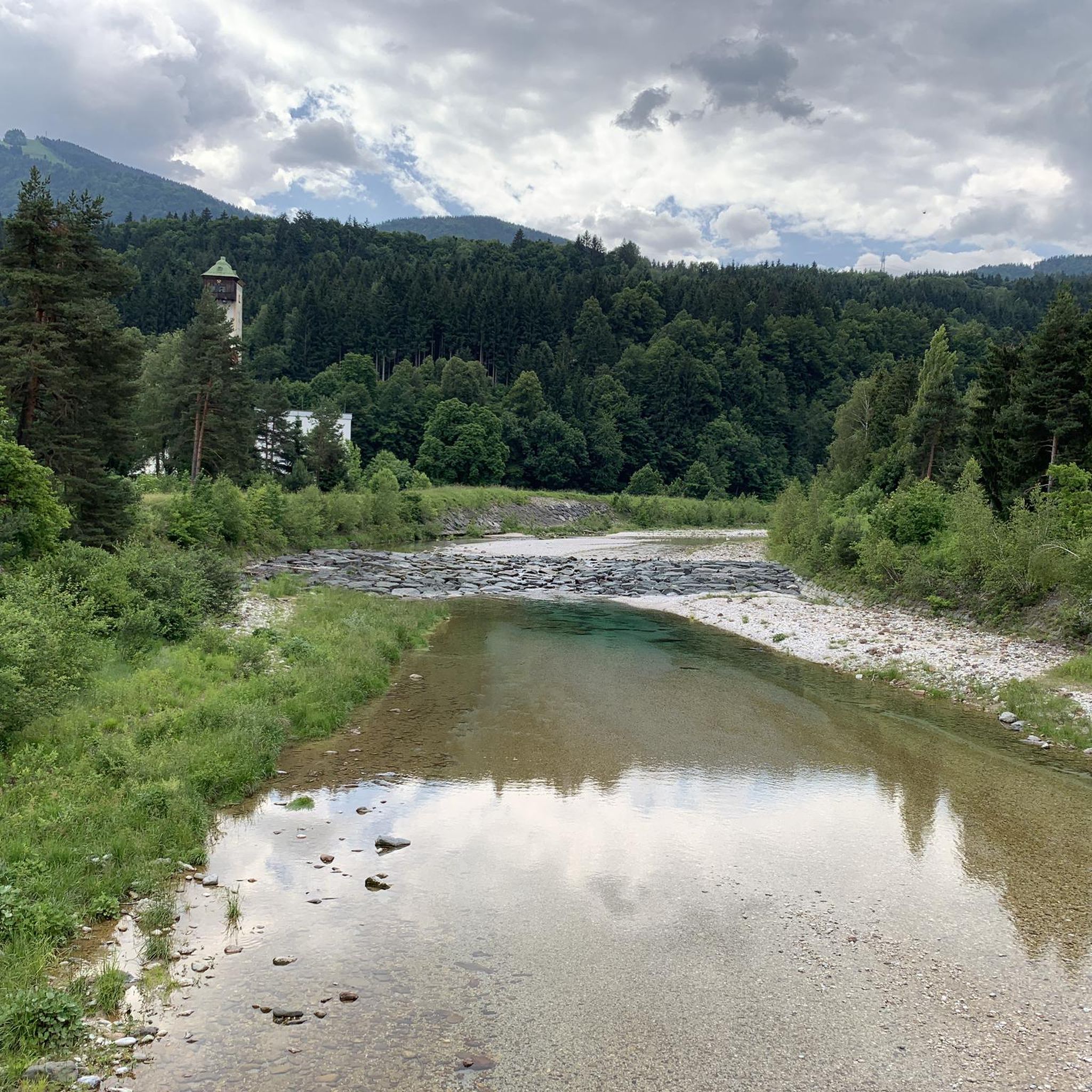
Cycling around Arnoldstein
Other adventures around Arnoldstein


Tips from the Community


A perfect, paved cycle path that satisfies the demands of all cyclists. The route sections were predominantly built on the trackbed of the former Jesenice-Tarvis railway line. Numerous info boards provide information about the past.
0
0
Beautiful section of the Alpe-Adria Cycle Path with a scenic surrounding.
0
0

The 22% are only reached somewhere in between, most of the route is easy to ride.
0
0

Honestly, I had expected to see a bit more
0
0
The gastronomy in Slovenia takes some getting used to
0
0
Frequently Asked Questions
How many road cycling routes are available around Arnoldstein?
Arnoldstein offers a diverse network of 18 road cycling routes. These routes cater to various skill levels, ranging from easy to difficult, ensuring there's an option for every cyclist.
What kind of terrain can I expect on road cycling routes in Arnoldstein?
The terrain around Arnoldstein is highly varied, characterized by alpine valleys, challenging mountain passes, and scenic river paths. You'll encounter routes that traverse the Julian Alps and Karawanken mountains, as well as well-developed cycle paths, some built on former railway lines, providing consistent surfaces.
What are the difficulty levels of road cycling routes in Arnoldstein?
The routes around Arnoldstein offer a good mix of difficulty levels. There are 4 easy routes, 9 moderate routes, and 5 difficult routes, providing options for beginners looking for a gentle ride and experienced cyclists seeking a challenge.
What natural features and landmarks can I see while road cycling in Arnoldstein?
Road cycling in Arnoldstein allows you to experience breathtaking alpine scenery, including views of the Julian Alps and the Karawanken mountains. You can also encounter picturesque rivers like the Gail and Drau. Notable natural attractions include the Zelenci Nature Reserve, and stunning lakes such as Lago di Fusine Inferiore and Lake Jasna. Many routes also feature challenging mountain passes like Vršič Pass and Wurzen Pass.
Are there any circular road cycling routes in the Arnoldstein area?
Yes, many road cycling routes in Arnoldstein are designed as loops, allowing you to start and finish in the same location. Examples include the challenging Predil Pass – Lake Predil loop from Arnoldstein and the scenic Pontebbana Cycle Path loop from Arnoldstein.
What is the best time of year for road cycling in Arnoldstein?
The best seasons for road cycling in Arnoldstein are spring and summer. During these months, the weather is typically mild, and the natural surroundings are in full bloom, offering ideal conditions and beautiful scenery for your rides.
Can I find routes that cross borders into Italy or Slovenia?
Absolutely. Arnoldstein's unique location at the tri-border point of Austria, Italy, and Slovenia means you can embark on unique 'three-country routes.' These often incorporate challenging mountain passes and allow you to experience diverse landscapes across all three nations in a single ride.
Are there any routes that follow former railway lines?
Yes, the region features well-known cycle paths built on former railway lines, offering a consistent and often scenic surface for road cyclists. The Pontebbana Cycle Path loop from Arnoldstein is a prime example, utilizing such a path.
What do other cyclists say about road cycling in Arnoldstein?
The road cycling routes in Arnoldstein are highly regarded by the komoot community, holding an average rating of 4.7 stars from over 90 reviews. More than 3,500 road cyclists have explored the varied terrain, often praising the challenging mountain passes, scenic river valleys, and the unique experience of cycling across three countries.
Are there any routes suitable for a moderate challenge?
Yes, Arnoldstein offers 9 routes classified as moderate, providing a good balance of distance and elevation without being overly strenuous. An example is the Pontebbana Cycle Path – Gail Bridge loop from Thörl-Maglern, which leads through river valleys and along cycle paths.
What kind of views can I expect on the road cycling routes?
The routes offer spectacular views, ranging from the dramatic peaks of the Julian Alps and Karawanken mountains to serene alpine valleys and picturesque rivers like the Gail and Drau. Many routes provide panoramic vistas, especially from higher elevations and mountain passes.
Are there any longer, more challenging routes for experienced road cyclists?
For experienced road cyclists seeking a significant challenge, Arnoldstein has several difficult routes. These often feature substantial elevation gains and cover longer distances, such as the Predil Pass – Lake Predil loop from Arnoldstein, which covers over 113 km with significant climbing.
Most popular routes around Arnoldstein
Most popular attractions around Arnoldstein

Get inspired with the komoot mobile app


Explore more
Browse the best Road cycling routes in other regions.
