The best running trails around Saint-André-De-Cubzac
4.5
(21)
658
runners
39
runs
Jogging around Saint-André-De-Cubzac offers diverse landscapes combining urban green spaces, historic sites, and the natural beauty of the Dordogne river. The region features gentle hills, such as the Site de Montalon, and extensive wooded areas, providing varied terrain for runners. Paths often lead through forests, past vineyards, and along riverbanks, offering a mix of natural and semi-urban environments. This blend of features makes Saint-André-De-Cubzac an appealing destination for running enthusiasts seeking different types of routes.
Best jogging routes around Saint-André-De-Cubzac
…Last updated: June 29, 2026
5.0
(1)
9
runners
13.8km
01:32
70m
70m
Moderate run. Good fitness required. Mostly paved surfaces. Suitable for all skill levels.
16
runners
19.6km
02:05
120m
120m
Hard run. Very good fitness required. Mostly paved surfaces. Suitable for all skill levels.

Sign up for free
4.3
(4)
11
runners
6.24km
00:39
30m
30m
Moderate run. Good fitness required. Mostly paved surfaces. Suitable for all skill levels.
5.0
(1)
5
runners
10.2km
01:05
70m
70m
Moderate run. Good fitness required. Mostly paved surfaces. Suitable for all skill levels.
7
runners
9.50km
01:00
50m
50m
Moderate run. Good fitness required. Mostly paved surfaces. Suitable for all skill levels.
Get access to more routes and recommendations from other explorers.
Sign up for free
Already have an account?
Our route recommendations are based on thousands of hikes, rides, and runs completed by other people on komoot.
Start today with a free account
Your next adventure awaits.
Login or Signup
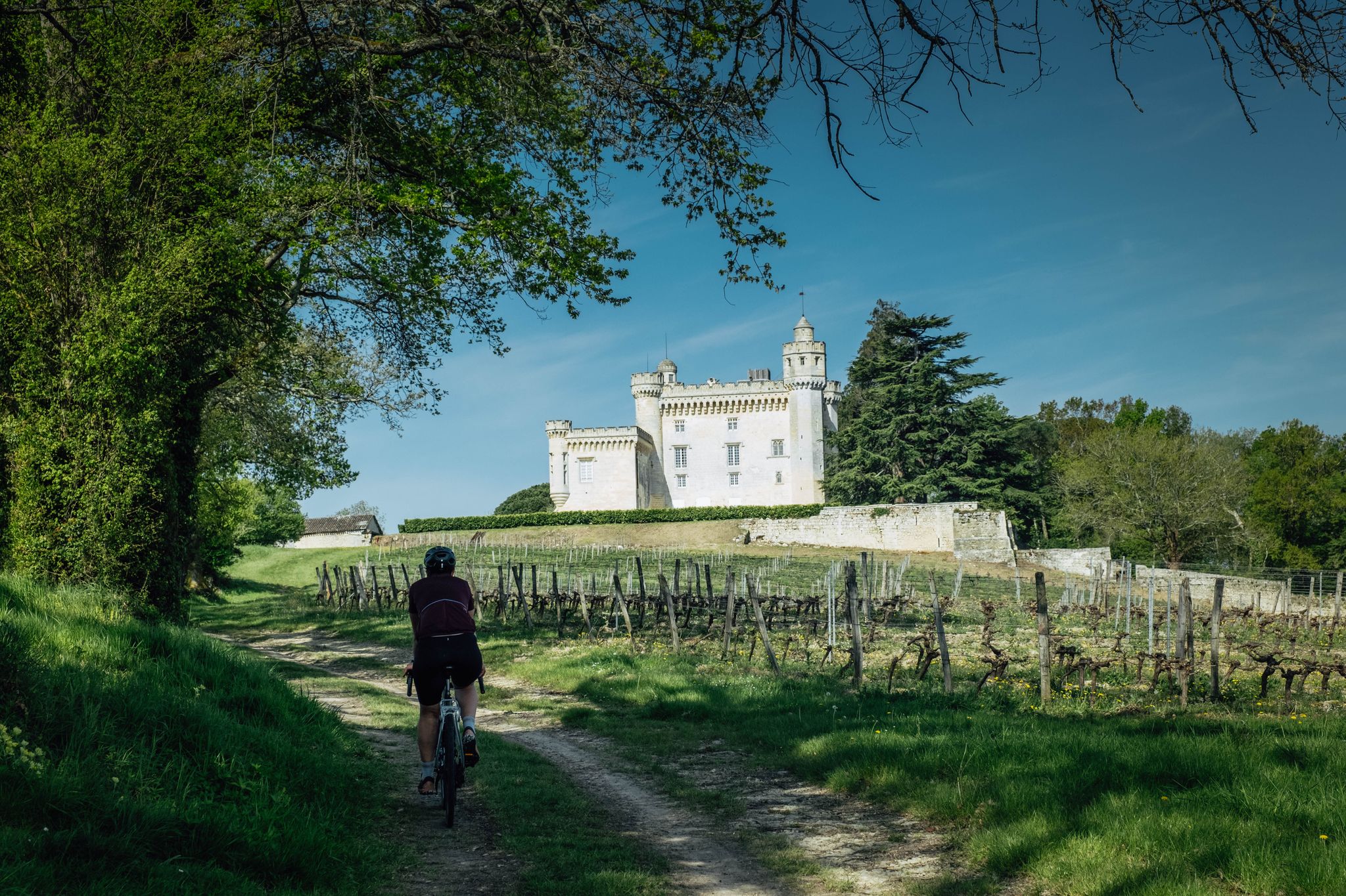
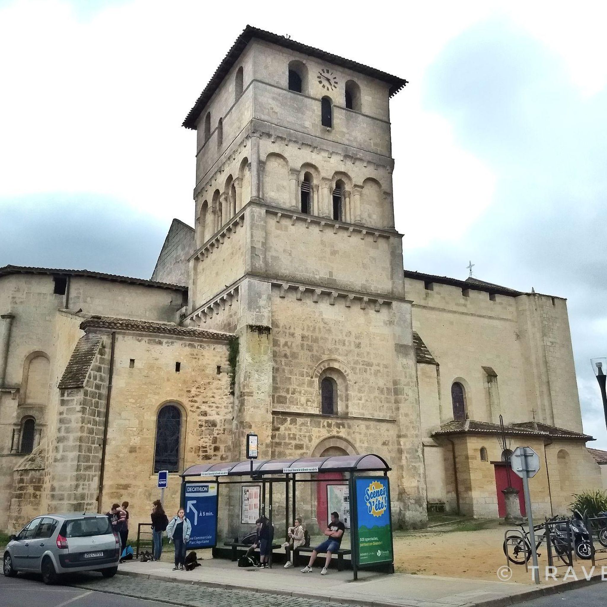
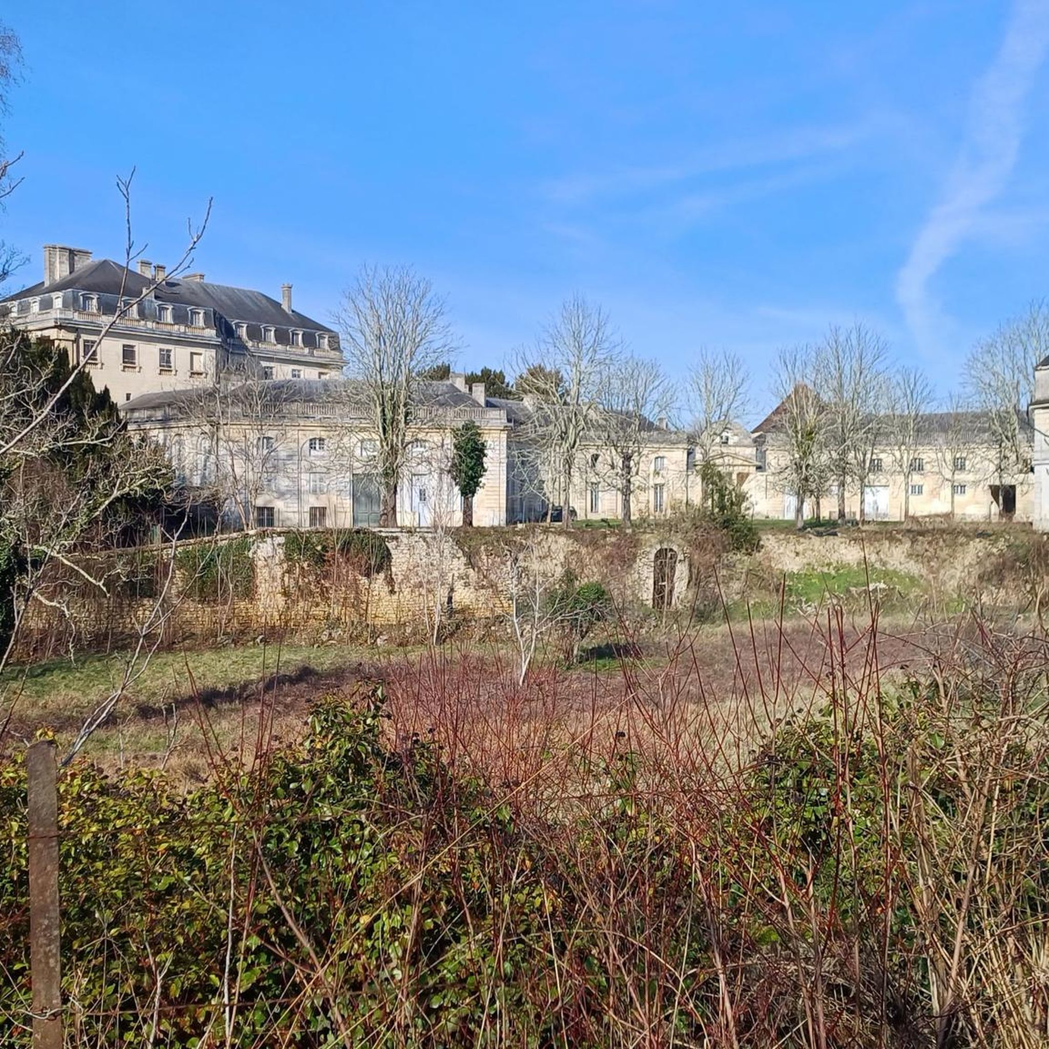
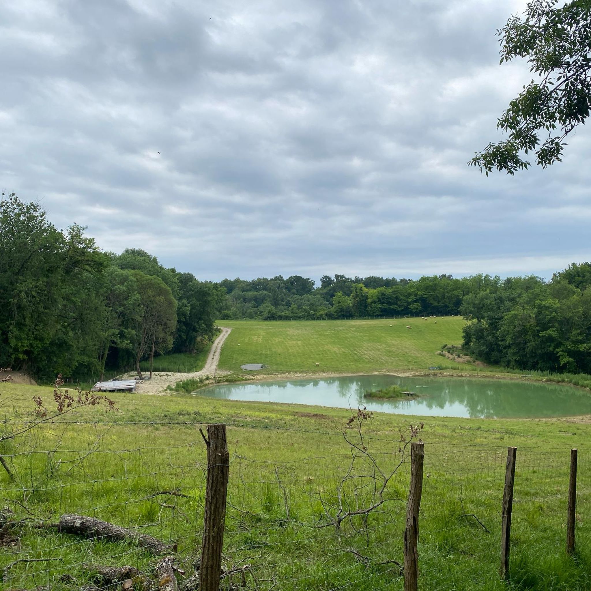


Other adventures around Saint-André-De-Cubzac

Tips from the Community

Sublime undergrowth portion to please with great chances of meeting deer 😃
0
0
This building, probably erected at the end of the Middle Ages, belonged in the second half of the 19th century to the Marquis du Mas de Paysac, district councilor of Saint-André-de-Cubzac. The plan and elevation are characteristic of late 15th and 16th century castles, it includes a quadrangular main building and a polygonal tower out of work housing the spiral staircase that serves the upper floors. The facade is pierced with windows regularly arranged in spans, which end in elegant skylights. Old photographs show that the staircase tower lost its polygonal roof long ago. The house is a fine example of noble architecture in Haute-Gironde.
0
0
Frequently Asked Questions
How many running routes are available in Saint-André-De-Cubzac?
There are over 25 running routes around Saint-André-De-Cubzac, offering a variety of distances and difficulty levels for joggers. These include easy loops through green spaces and more challenging trails with moderate elevation gain.
Are there any easy or beginner-friendly jogging routes in the area?
Yes, Saint-André-De-Cubzac offers several easy routes. For instance, the Piscine loop from Saint-André-de-Cubzac is a moderate 4.0-mile (6.5 km) trail that takes about 41 minutes to complete, leading through local green spaces. The region has 1 easy route and 19 moderate routes, making it suitable for various fitness levels.
What kind of scenic views can I expect on the running trails?
Jogging routes in Saint-André-De-Cubzac offer diverse scenery. You can expect riverside paths along the Dordogne, urban green spaces like Parc Robillard, and elevated viewpoints on local hills. The Montalon Mills loop from Saint-André-de-Cubzac, for example, provides panoramic views from Montalon hill, stretching from Fronsac to the Côtes de Blaye and even Bordeaux, with stunning sunsets over the Dordogne.
Are there any long-distance or challenging running trails?
For those seeking a challenge, Saint-André-De-Cubzac has several difficult routes. The Montalon Mills loop from Saint-André-de-Cubzac is a difficult 12.1-mile (19.5 km) path with 120m of elevation gain, requiring excellent physical condition. Another challenging option is the Cubzac railway bridge loop from Saint-André-de-Cubzac, which is 17.3 km long.
What do other runners say about the trails in Saint-André-De-Cubzac?
The running routes in Saint-André-De-Cubzac are highly rated by the komoot community, with an average score of 4.6 stars from 17 reviews. Over 600 runners have used komoot to explore the varied terrain, often praising the mix of natural and semi-urban environments, from quiet woodlands to scenic riverbanks.
Are there any points of interest or landmarks along the jogging routes?
Yes, several routes pass by interesting landmarks. For example, Parc Robillard features a 15th-century castle and a 300-year-old plane tree. The Site de Montalon, part of the Montalon Mills loop, is home to historic windmills and a stone marker for the 45th parallel north. You might also encounter highlights like the Eiffel Bridge of Cubzac-les-Ponts or the Saint-Géronce Church.
Can I find circular running routes in Saint-André-De-Cubzac?
Yes, many of the running paths in Saint-André-De-Cubzac are circular, allowing you to start and finish at the same point. Examples include the popular Forest loop of Saint-André de Cubzac, the Montalon Mills loop, and the Piscine loop.
Are there any family-friendly running options?
Absolutely. Green spaces like Parc Robillard, Parc Chambord, Parc du Tasta, and Parc des Daganettes offer intimate green spaces and play areas, which are ideal for family outings and shorter, easier jogs. The peaceful setting of Port de Plagne along the Dordogne river is also suitable for early morning jogs or evening strolls with family.
What are the best times of year for jogging in Saint-André-De-Cubzac?
Saint-André-De-Cubzac is enjoyable for jogging throughout much of the year. The diverse landscapes, from wooded areas to riverside paths, offer pleasant conditions in spring and autumn. Summer mornings and evenings are also ideal for enjoying the natural beauty, especially along the Dordogne river at Port de Plagne. Even in winter, many marked trails remain accessible.
Are there any running routes that offer views of castles or historic sites?
Yes, the region is rich in history. While jogging, you might catch glimpses of historic sites. Parc Robillard, for instance, features a 15th-century castle. Additionally, the wider area around Saint-André-De-Cubzac is home to several châteaux, such as Château Reynaud and Superb Chateau de Bouilh, which can be seen from some routes or nearby viewpoints.
Where can I find parking for jogging routes in Saint-André-De-Cubzac?
Parking is generally available near the main green spaces and starting points of popular routes. For example, areas around Parc Robillard and Port de Plagne offer convenient access. For specific routes, it's advisable to check the individual route details on komoot for designated parking areas.
Are there any routes accessible by public transport?
Saint-André-De-Cubzac is a commune with local public transport options. Many routes, especially those starting directly from the town center or near major parks, are often accessible by local bus services. Checking local transport schedules and route maps would provide the most accurate information for specific starting points.
Most popular routes around Saint-André-De-Cubzac
Most popular attractions around Saint-André-De-Cubzac

Get inspired with the komoot mobile app


Explore more
Browse the best Running Trails & Routes in other regions.
