The best cycling routes around Nanclars
4.8
(29)
121
riders
45
rides
Touring cycling routes around Nanclars are set within the Charente department of Nouvelle-Aquitaine, France, characterized by a rural karstic limestone plateau. Elevations in the commune range from 65 to 118 meters, offering varied terrain for cycling. The broader Charente region provides an extensive network of over 1000 kilometers of cycling tracks, including the "FLOW VELO" path along the Charente river.
Best touring cycling routes around Nanclars
- The most popular touring cycling route is Loop in the Bonnieure valley, a…
Last updated: July 2, 2026
5.0
(1)
2
riders
41.1km
02:34
360m
360m
Moderate bike ride. Good fitness required. Mostly paved surfaces. Suitable for all skill levels.
12
riders
34.6km
02:34
220m
220m
Hard bike ride. Good fitness required. You may need to push your bike for some segments of this route.

Sign up for free
5.0
(2)
7
riders
77.1km
04:46
700m
700m
Hard bike ride. Very good fitness required. Mostly paved surfaces. Suitable for all skill levels.
5.0
(1)
4
riders
Moderate bike ride. Good fitness required. Mostly paved surfaces. Suitable for all skill levels.
5.0
(2)
3
riders
44.8km
02:43
370m
370m
Moderate bike ride. Good fitness required. Mostly paved surfaces. Suitable for all skill levels.
Get access to more routes and recommendations from other explorers.
Sign up for free
Already have an account?
Our route recommendations are based on thousands of hikes, rides, and runs completed by other people on komoot.
Start today with a free account
Your next adventure awaits.
Login or Signup
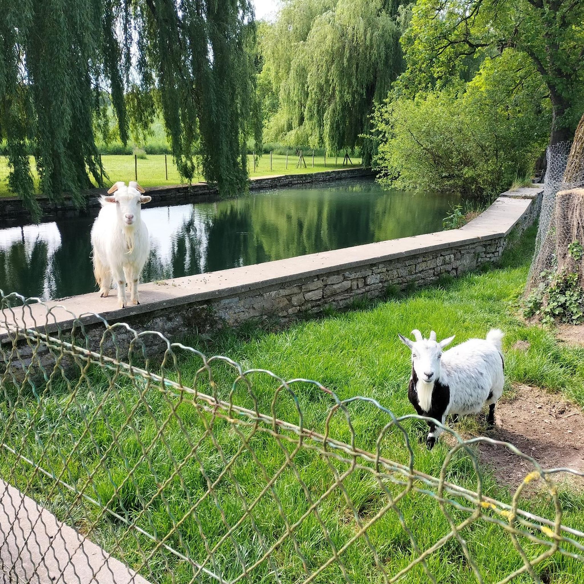

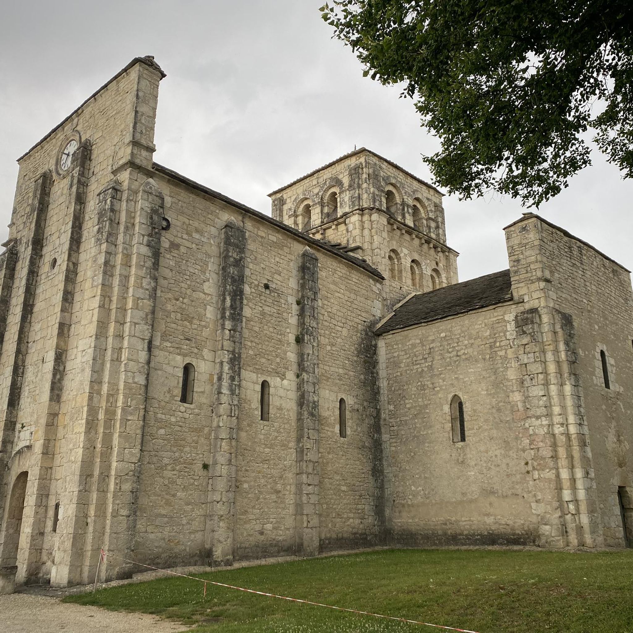
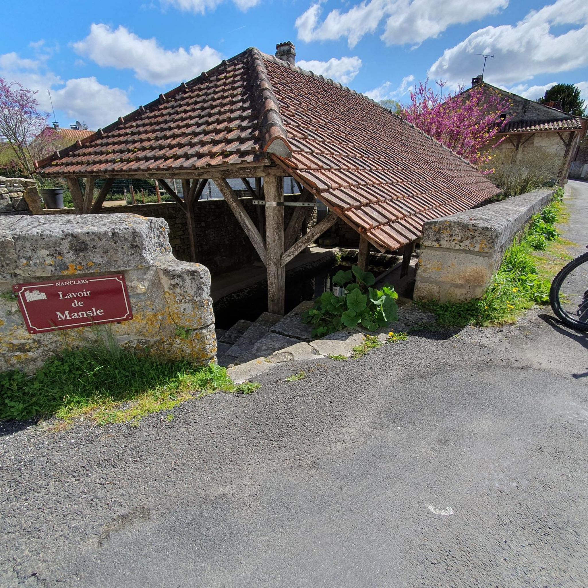
Tips from the Community


Footbridge in poor condition, closed by decree since September 24. The crossing is shallow at this point, with water mid-calf deep. For those planning to cross, the water level was -0.11 m in St-Saviol today. (https://www.vigicrues.gouv.fr/station/R011001001)
0
0
Concrete footbridge over the Charente River, a little narrow and without a railing, but can be crossed without dismounting with a little confidence. Swimming spot on the Charente River nearby.
0
0
A street overlooking the Charente River, named "Le Quai." Very clear thanks to its limestone paving, it features a boat ramp and a staircase creating a beach on this quiet street.
0
0
La Fichère washhouse fountain, well sheltered below the road from St-Amant to La Fichère.
0
0
Sheltered washhouse flush with the Charente, near the church of St-Denis de Vars, but offset from the Rouillac road.
0
0
For the crazy ones who go everywhere, a nice ford to cool their feet. For the others, looking up from their wheel, you may prefer to take a small bridge to cross in the dry.
0
0
Frequently Asked Questions
How many touring cycling routes are available around Nanclars?
There are over 45 touring cycling routes around Nanclars, offering a wide variety of options for different skill levels and preferences. The region's extensive network includes over 1000 kilometers of cycling tracks on quiet roads.
What is the general difficulty level of touring cycling routes in Nanclars?
The touring cycling routes around Nanclars cater to various abilities. You'll find 5 easy routes, 36 moderate routes, and 6 more difficult routes. The terrain is characterized by a karstic limestone plateau with elevations ranging from 65 to 118 meters, providing varied cycling experiences.
Are there any family-friendly touring cycling routes near Nanclars?
Yes, Nanclars and the wider Charente region offer routes suitable for families. While specific family-friendly routes aren't detailed, the extensive network includes options for various skill levels, suggesting easier paths are available. The region's quiet roads are generally considered safe for cycling.
What kind of landscapes can I expect to see on touring cycling routes around Nanclars?
Touring cycling around Nanclars will take you through picturesque rural landscapes, characterized by a karstic limestone plateau. You'll experience varied scenery that changes with the seasons, from the gentle undulations of the plateau to areas near the Charente river valley.
Are there any circular touring cycling routes available?
Yes, many routes around Nanclars are designed as loops. For example, the Loop in the Bonnieure valley is a moderate 25.5-mile circular route, and the Saint-Denis Church – Bayers Castle loop from Aunac is a more challenging 21.9-mile loop featuring historical landmarks.
What historical or natural attractions can I explore along the touring cycling routes?
The area around Nanclars is rich in attractions. You can cycle past historical sites like Saint-Amant-de-Boixe Abbey, or see impressive structures such as Château de La Rochette. The region also features natural sites like the Forêt de la Braconne and the Vallée de la Renaudie, perfect for appreciating nature.
What is the best time of year for touring cycling in Nanclars?
The Charente department, where Nanclars is located, offers diverse natural sites with landscapes that change with the seasons. This suggests that cycling can be enjoyed throughout much of the year, with spring and autumn likely offering the most pleasant temperatures and vibrant scenery.
Are there any long-distance touring cycling options accessible from Nanclars?
Yes, a significant long-distance option is the "FLOW VELO," a 350-kilometer cycle path along the Charente river that stretches from Limoges to the Atlantic coast. A joining point for this path is just 4 kilometers from Jarnac, making it easily accessible from Nanclars for longer touring adventures.
What do other touring cyclists say about the routes in Nanclars?
The touring cycling routes in Nanclars are highly rated by the komoot community, with an average score of 4.8 stars from over 16 reviews. More than 87 touring cyclists have used komoot to explore the varied terrain, often praising the diverse scenery and well-maintained paths.
Are there any routes that combine historical sites with natural features?
Absolutely. The Saint-Amant-de-Boixe Abbey – Vindelle Dam loop from Maine-de-Boixe is a 48.0-mile route that leads through both historical sites and natural features, offering a rich blend of cultural and scenic experiences.
Is public transport available to access cycling trails near Nanclars?
While specific public transport links directly to trailheads from Nanclars are not detailed, the region is well-connected. For longer routes like the FLOW VELO, you might consider transport options to reach key access points, such as Jarnac, which is only 4 km from a joining point.
Where can I find parking for cycling routes around Nanclars?
Given Nanclars' rural setting and the extensive network of cycling tracks, parking is generally available in or near the starting points of routes in local villages and towns. Specific parking facilities for each route are best checked locally upon arrival.
Most popular attractions around Nanclars

Get inspired with the komoot mobile app


Explore more
Browse the best Cycling routes in other regions.
