The best road cycling routes around Diéval
4.5
(47)
2,221
riders
335
rides
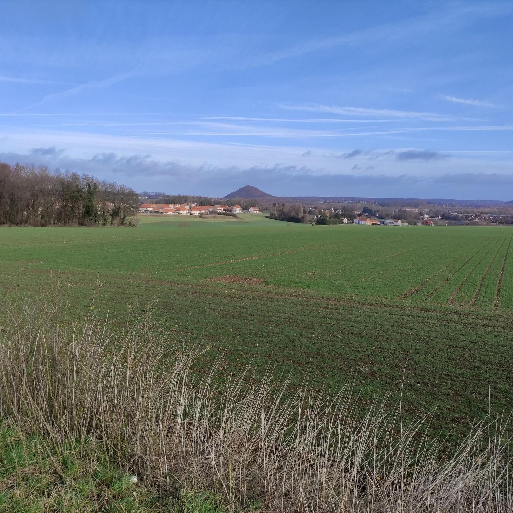
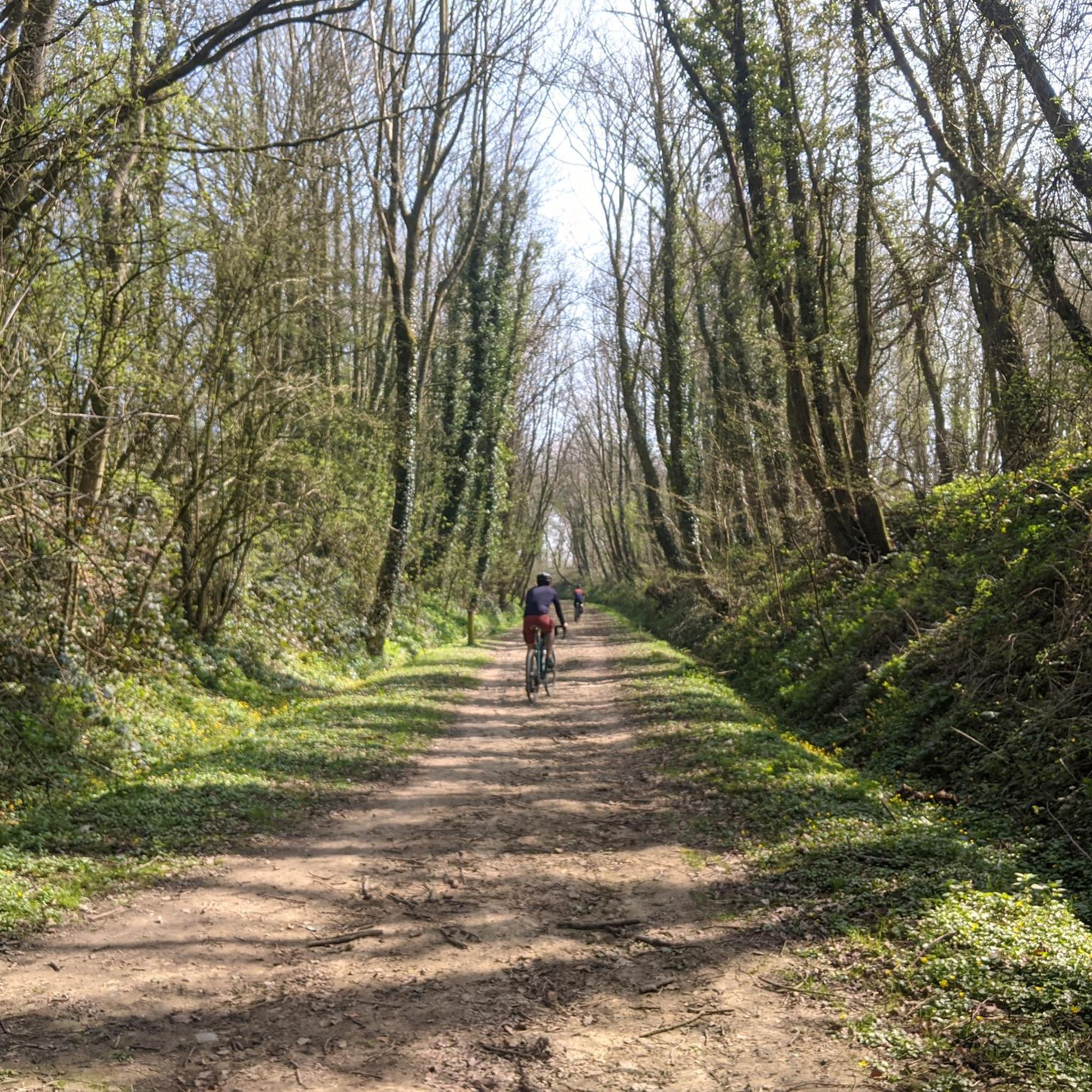
Road cycling routes around Diéval traverse a landscape characterized by rolling terrain and a mix of woodlands and open countryside. The region features moderate elevation changes, with routes often passing through historical areas and alongside natural features like rivers. Road cyclists can expect a network of paved roads suitable for various skill levels, offering both challenging climbs and gentler sections.
Best road cycling routes around Diéval
- The most popular road cycling route is Côte de Hesdigneul – Côte du parc…
Last updated: August 26, 2026
4.0
(1)
21
riders
103km
04:28
360m
360m
Moderate road ride. Good fitness required. Mostly well-paved surfaces and easy to ride.
5.0
(1)
15
riders
Moderate road ride. Good fitness required. Mostly well-paved surfaces and easy to ride.

Sign up for free
5.0
(1)
23
riders
30.7km
01:20
220m
220m
Easy road ride. Great for any fitness level. Mostly well-paved surfaces and easy to ride.
5.0
(1)
17
riders
61.3km
02:36
360m
360m
Moderate road ride. Good fitness required. Some segments of this route may be unpaved and difficult to ride.
5.0
(1)
13
riders
20.2km
00:53
170m
170m
Easy road ride. Great for any fitness level. Mostly well-paved surfaces and easy to ride.
Get access to more routes and recommendations from other explorers.
Sign up for free
Already have an account?
Our route recommendations are based on thousands of hikes, rides, and runs completed by other people on komoot.
Start today with a free account
Your next adventure awaits.
Login or Signup


Tips from the Community

Marles-les-Mines is an iconic town in the mining region. It's home to the mining museum and the last remaining headframe. Standing 25 meters tall, the small Vieux II headframe is a must-see in the region's mining heritage.
0
0

The Bornes Vauthier are a series of sculptures created in the 1920s by the artist Paul Moreau-Vauthier to mark the front line of the First World War. They are located in Belgium and France and are one of the routes set up to keep the memory of the war alive. The Bornes Vauthier consist of a series of granite monoliths marking the front line as it was in July 1918, during one of the last Allied offensives. A total of 240 Bornes Vauthier are planned, from the North Sea to the Swiss border, between Nieuwpoort in Belgium and Mooslargue near Altkirch/Belfort on the Franco-Swiss border.
7
0
Gorre British and Indian Cemetery is a cemetery in Gorre, France. It contains the graves of over 900 Commonwealth soldiers who died in the First World War. The cemetery was designed by Charles Holden and is maintained by the Commonwealth War Graves Commission. Gorre Castle was occupied early in the war by troops serving with the British Expeditionary Force and the Indian Corps, and the burial ground, located in the south-east corner of the original castle grounds, was begun in the autumn of 1914. The Indian section of the cemetery was closed in October 1915, shortly before the Indian infantry divisions left France for redeployment to the Middle East. Many of those now buried in Plots V and VI of the British section of the cemetery were killed during the Battle of Estaires in April 1918.
11
0
Mémorial de la Bataille de Festubert du 15e Bataillon Canadien The Battle of Festubert was one of the most important battles fought by the Canadian Army during the First World War. It took place from 15 to 25 May 1915 near the village of Festubert in France. The 15th Canadian Battalion was one of the units that took part in the battle. The Mémorial de la Bataille de Festubert is a monument commemorating the battle and the fallen soldiers. The monument is located near the village of Rue-du-Bois, about 3 km from Festubert. It was inaugurated in 2015, on the occasion of the centenary of the battle. The monument consists of a stone wall with the names of the Canadian soldiers who died during the battle. The monument is freely accessible to the public
11
0

In the main square opposite the Belfry. The widest range of pastries you can wish for.
0
0

and the cemetery crucifix
0
0

Very nice little hillside street
0
0
The Notre-Dame de Rebreuve-Ranchicourt Church is a Catholic church. It was built in 1868 and is dedicated to Notre-Dame. The church is an example of local religious architecture, with its neo-Gothic style characteristic of its time. It is located on a promontory and offers a panoramic view of the village.
8
0
Frequently Asked Questions
What kind of terrain can I expect on road cycling routes around Diéval?
The Diéval region offers a diverse landscape for road cyclists, characterized by rolling terrain, a mix of woodlands, and open countryside. You'll encounter moderate elevation changes, with routes often passing through historical areas and alongside natural features like rivers. The paved roads are suitable for various skill levels, providing both challenging climbs and gentler sections.
Are there road cycling routes suitable for beginners or families in Diéval?
Yes, Diéval has a good selection of routes for beginners and families. There are over 70 easy routes available. A great option is The Woods – Nico loop from Pernes - Camblain, an easy 46.4 km path that takes you through wooded areas with gentle gradients, perfect for a relaxed ride.
What are some challenging road cycling routes with significant elevation gain near Diéval?
For those seeking more challenging rides with notable elevation gain, Diéval offers several options. The Côte de Hesdigneul – Côte du parc d'Ohlain loop from Pernes - Camblain is a popular choice, covering 86.7 km with nearly 700 meters of elevation gain. Another demanding route is the Abbey of Mont Saint-Éloi – Ruins of Mont-Saint-Eloi Abbey loop from Pernes - Camblain, which spans 87.37 km and features over 850 meters of ascent.
What can I see along the road cycling routes in Diéval?
Many routes in Diéval pass by interesting natural and historical sites. You might cycle past the The Caucourt Ford and Watermill, or enjoy views from The belvedere at Olhain Park. Some routes even lead past the Terrils du Pays à Part or the Spoil tip in Saint-Pierre Wood, offering unique perspectives on the region's industrial heritage and natural beauty.
Are there any routes that feature natural landmarks like waterfalls or lakes?
Yes, you can find routes that incorporate natural landmarks. The Freedom and view – Waterfall of Nave river in Bourecq loop from Pernes - Camblain is a 52.4 km trail that leads through scenic river valleys and past a waterfall. Additionally, you might encounter the serene Lac de Beugin on some of the local routes.
What do other road cyclists enjoy most about road cycling in Diéval?
The road cycling experience in Diéval is highly rated by the komoot community, with an average score of 4.4 stars from over 50 reviews. Cyclists often praise the varied terrain, which includes rolling hills, quiet woodlands, and picturesque river valleys, offering a good mix of challenges and scenic beauty. The network of paved roads is well-regarded for catering to different ability levels.
How many road cycling routes are available around Diéval?
There are over 320 road cycling routes available around Diéval, offering a wide variety of options for different skill levels and preferences. This includes approximately 74 easy routes, 233 moderate routes, and 19 difficult routes.
Are most road cycling routes in Diéval circular?
Yes, the majority of road cycling routes around Diéval are designed as loops, allowing you to start and finish at the same point. This makes planning your ride and logistics, such as parking, much more convenient. For example, the popular Nico loop from Pernes - Camblain is a moderate 59.89 km circular route.
What is the best time of year for road cycling in Diéval?
The best time for road cycling in Diéval is generally from spring through autumn (April to October). During these months, the weather is typically milder and more stable, with less rain and more daylight hours, making for more enjoyable rides through the region's diverse landscapes.
Are there any historical sites or castles accessible by road bike in the Diéval area?
Absolutely. The region around Diéval is rich in history. You can cycle past the impressive Olhain Castle or the historic Bours Keep. The Abbey of Mont Saint-Éloi – Ruins of Mont-Saint-Eloi Abbey loop from Pernes - Camblain specifically takes you to the ruins of a significant abbey, offering a blend of cycling and cultural exploration.
What is the typical duration for a road cycling trip in Diéval?
The duration of your road cycling trip in Diéval can vary greatly depending on the route's length and your pace. Shorter, easy routes like The Woods – Nico loop from Pernes - Camblain can be completed in under two hours. Longer, more challenging routes, such as the Côte de Hesdigneul – Côte du parc d'Ohlain loop from Pernes - Camblain, typically take around 3 hours and 47 minutes.
Most popular attractions around Diéval

Get inspired with the komoot mobile app


Explore more
Browse the best Road cycling routes in other regions.
