The best road cycling routes around Signy-Signets
4.6
(50)
1,341
riders
188
rides
Road cycling routes around Signy-Signets traverse a landscape characterized by gently rolling terrain and open countryside. The area features a network of roads passing through agricultural lands and small villages. Elevation changes are generally moderate, making it suitable for various fitness levels. The routes often connect historical churches and local landmarks.
Best road cycling routes around Signy-Signets
- The most popular road cycling route is Saint-Authaire Church – Sous Jouarre loop from Sammeron, a 19.7 miles (31.7 km) trail that…
Last updated: July 10, 2026
5.0
(4)
106
riders
30.6km
01:16
140m
140m
Easy road ride. Great for any fitness level. Mostly well-paved surfaces and easy to ride.
5.0
(1)
14
riders
Moderate road ride. Good fitness required. Mostly well-paved surfaces and easy to ride.

Sign up for free
15
riders
52.2km
02:18
270m
270m
Moderate road ride. Good fitness required. Mostly well-paved surfaces and easy to ride.
9
riders
Moderate road ride. Good fitness required. Some segments of this route may be unpaved and difficult to ride.
8
riders
Moderate road ride. Good fitness required. Mostly well-paved surfaces and easy to ride.
Get access to more routes and recommendations from other explorers.
Sign up for free
Already have an account?
Our route recommendations are based on thousands of hikes, rides, and runs completed by other people on komoot.
Start today with a free account
Your next adventure awaits.
Login or Signup



Tips from the Community

Roman Catholic cathedral built in the Gothic style between the 12th and 16th centuries AD. It has the title of a minor basilica and is dedicated to St. Stephen.
0
0


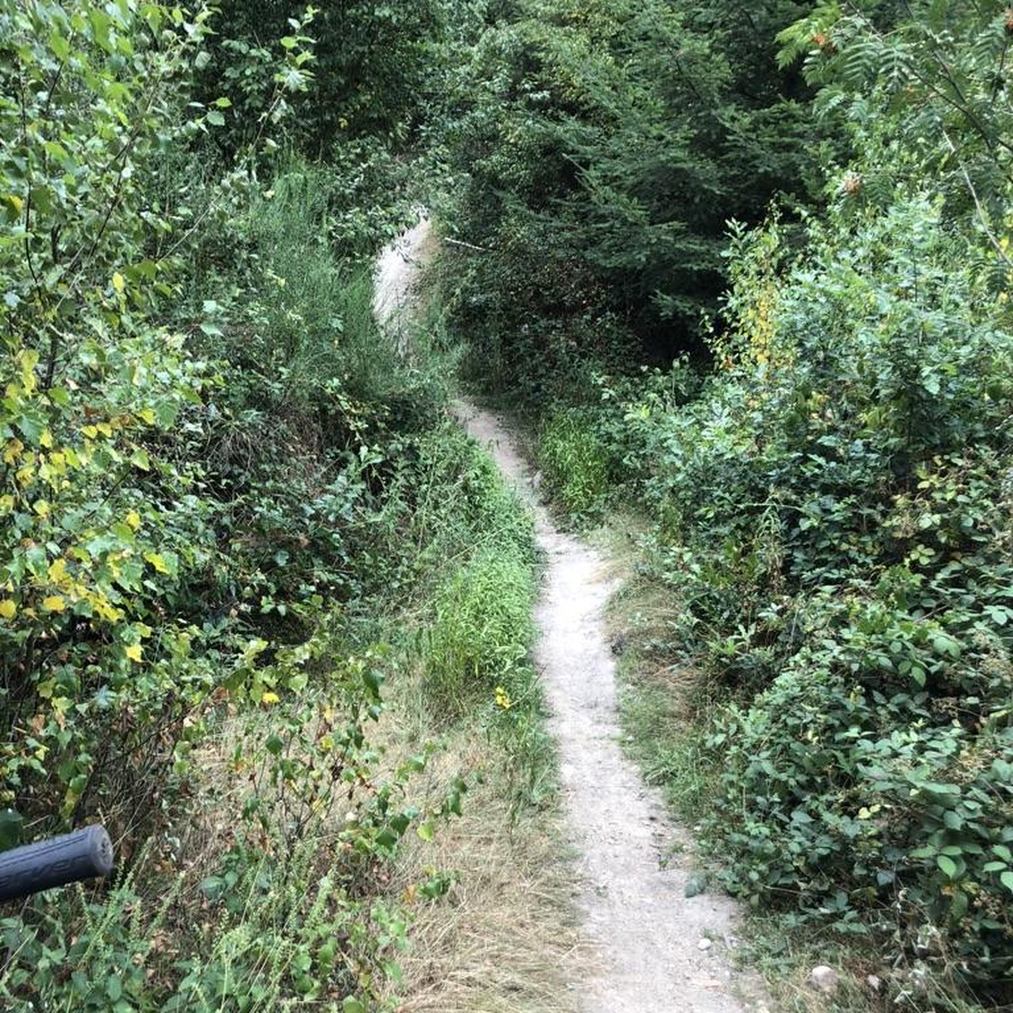
Very beautiful view that is well worth it!!! My Wahoo is seeing red!
0
0
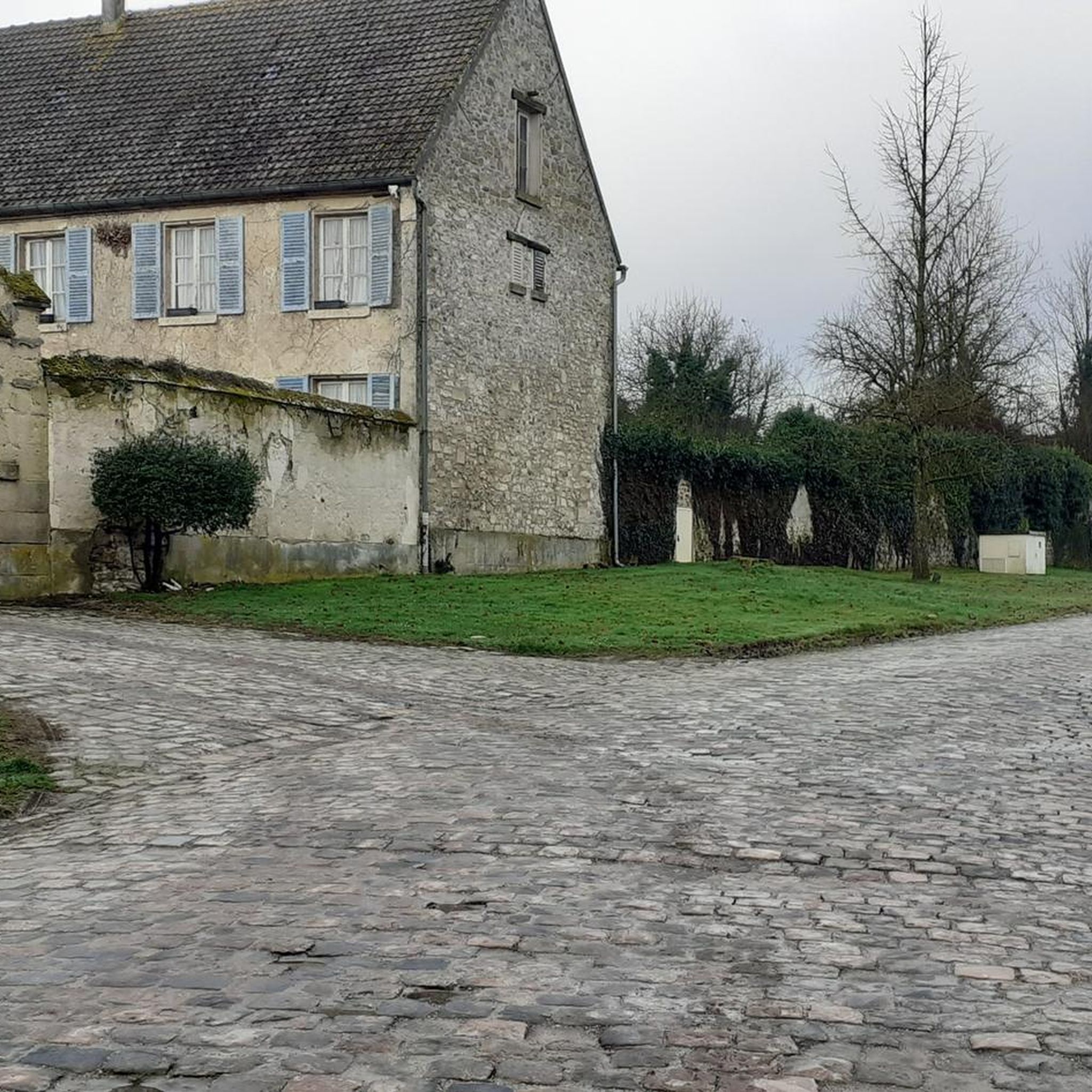
It's the Nooooord!!!! there are even cobblestones.
0
0

Colomban of Luxeuil, also known as Saint Colomban, was an Irish monk who evangelized the rural populations of Gaul, Germany, Helvetia and Italy in the Middle Ages. In the life of Saint Colomban, written around 640, the monk Jonas of Bobbio indicates that Colomban and his companions were welcomed by the family of Authaire, an aristocrat at the court of Austrasia. The domus where this servant of Théodebert (or Thibert), king of Austrasia and friend of Colomban, resided, is said to be located in the commune of Ussy-sur-Marne. In the church, a 19th-century stained glass window reminds us of this meeting. The church is listed as a Historic Monument for its nave dating from the 11th and 12th centuries, as well as for the stained glass windows of its chapel of the Virgin dating from the 16th century.
0
0
13% on one side and 9% on the other because it is located on a hill.
0
0

Located on a high point, lovely view guaranteed
1
0

This church is distinguished by its location at the top of the Butte de Doue. In addition to offering beautiful views, this place of particular geological interest allows you to learn about the sedimentary layers of the region.
0
0
Frequently Asked Questions
How many road cycling routes are available around Signy-Signets?
There are nearly 200 road cycling routes around Signy-Signets, offering a wide range of options for different skill levels and preferences. Over 1,100 road cyclists have explored the area using komoot.
What is the general terrain like for road cycling in Signy-Signets?
Road cycling routes around Signy-Signets feature gently rolling terrain and open countryside. The network of roads passes through agricultural lands and small villages, with generally moderate elevation changes, making it suitable for various fitness levels.
Are there road cycling routes suitable for beginners in Signy-Signets?
Yes, Signy-Signets offers 36 easy road cycling routes. These routes typically feature minimal elevation gain and are perfect for those new to road cycling or looking for a relaxed ride. An example is the Saint-Authaire Church – Sous Jouarre loop from Sammeron, which is 19.7 miles (31.7 km) with minimal elevation.
What kind of challenges can I expect on road cycling routes in Signy-Signets?
While many routes are easy, Signy-Signets also offers 143 moderate and 19 difficult routes. These can include varied terrain with moderate climbs and descents, as seen in the La Trétoire – Saint Martin's Church loop from Jouarre, which covers 32.1 miles (51.6 km) with over 270 meters of elevation gain.
Are there circular road cycling routes available in Signy-Signets?
Yes, many of the road cycling routes around Signy-Signets are designed as loops, allowing you to start and finish at the same point. For instance, the Coulommes Oil Pump Jack – Saint-Martin de Doue church loop from Pierre-Levée is a 42.7 miles (68.6 km) circular trail.
What do other road cyclists enjoy the most about road cycling in Signy-Signets?
The road cycling routes in Signy-Signets are highly rated by the komoot community, with an average score of 4.6 stars from over 30 reviews. Cyclists often praise the rolling hills, open fields, and the pleasant village-to-village connections that define the area's routes.
Are there any family-friendly road cycling routes in Signy-Signets?
Given the prevalence of easy routes with minimal elevation gain, many of the 36 easy road cycling routes around Signy-Signets are suitable for families. These routes often traverse quiet agricultural lands and connect small villages, providing a pleasant and safe environment for family rides.
What can I see along the road cycling routes in Signy-Signets?
Road cycling routes in Signy-Signets often connect historical churches and local landmarks. You might pass by sites such as the Collégiale Notre-Dame de Crécy-la-Chapelle, the Coulommes Oil Pump Jack, or the Saint-Authaire Church. The routes also frequently follow the scenic Marne River.
Are there any historical sites or points of interest near the cycling routes?
Yes, the region is dotted with historical and cultural points of interest. Cyclists can explore sites like the ancient crypts of Jouarre, or various charming village churches that are often integrated into the route network.
Are there longer road cycling routes for experienced riders?
Absolutely. For more experienced riders seeking longer distances and more elevation, routes like the Saint-Cyr-sur-Morin – Sous Jouarre loop from Jouarre offer 40.9 miles (65.8 km) with nearly 480 meters of ascent. Another option is the Pont d'Isles-les-Meldeuses – Chambry National Necropolis loop from Changis - Saint-Jean, which is 50.2 miles (80.8 km) with almost 500 meters of climbing.
What is the best time of year for road biking in Signy-Signets?
While specific seasonal details are not provided, the gently rolling terrain and open countryside suggest that road cycling in Signy-Signets would be enjoyable during the milder months of spring, summer, and early autumn, when weather conditions are generally favorable for outdoor activities.
Most popular routes around Signy-Signets
Most popular attractions around Signy-Signets

Get inspired with the komoot mobile app


Explore more
Browse the best Road cycling routes in other regions.
