The best walks and hikes around Saint-Jean-Les-Deux-Jumeaux
4.5
(163)
893
hikers
93
hikes
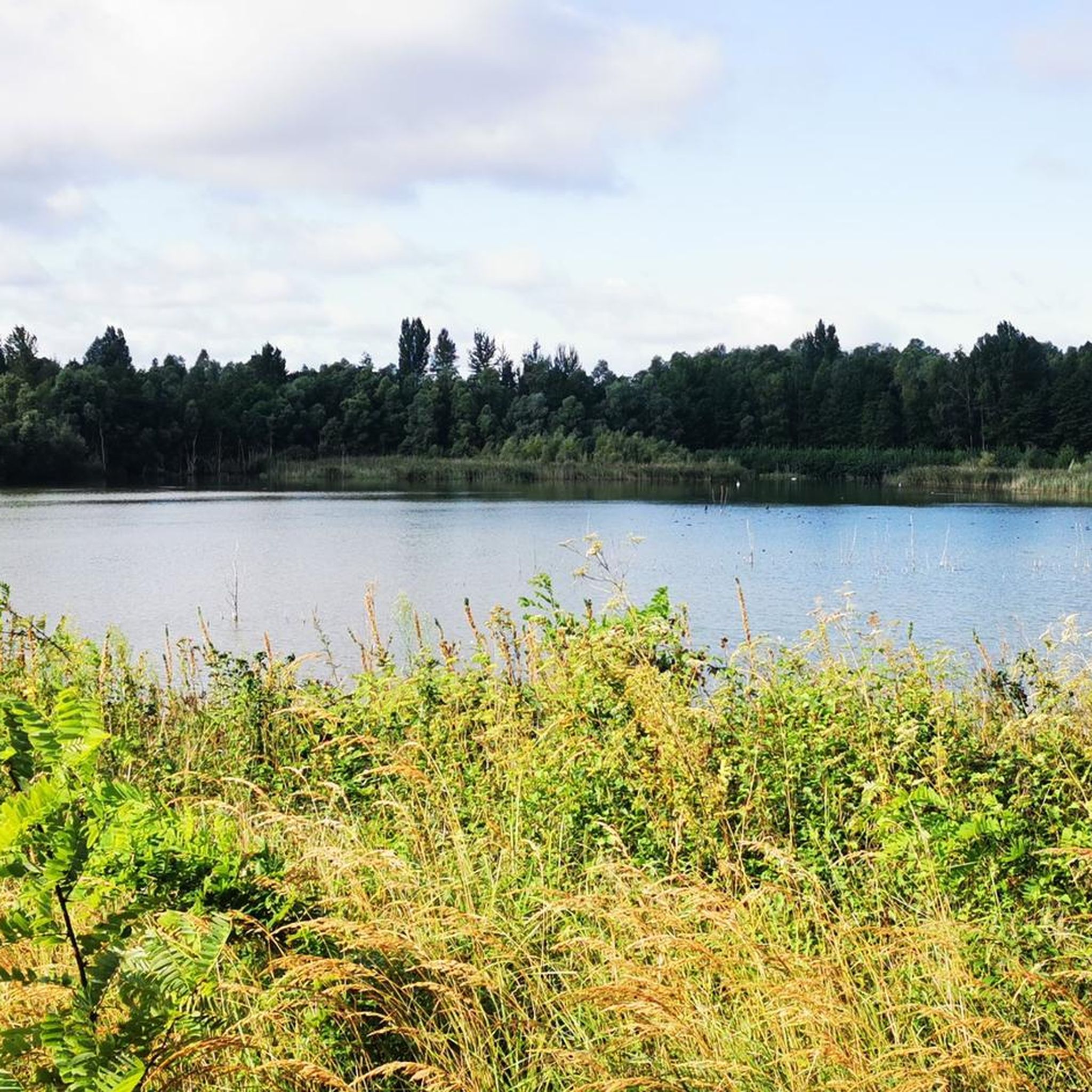
Hiking around Saint-Jean-Les-Deux-Jumeaux offers diverse landscapes characterized by extensive farmlands, gentle plateaus, and wooded groves. The commune features a steep hillside, known as a "coteau," which descends towards the alluvial plain of the Marne river. The Marne river itself forms the northern boundary, providing scenic riverside paths. A significant portion of the Forêt domaniale de Montceaux, a substantial ecological interest zone, also lies within the commune, offering immersive nature walks.
Best hiking trails around Saint-Jean-Les-Deux-Jumeaux
- The most popular hiking route is The Marne – View of the Marne River loop from Changis - Saint-Jean, a 13.7 miles (22.1 km) trail that takes 5 hours 53 minutes to complete. This difficult route offers expansive views of the Marne River.
- Another top favourite among local hikers is Jj loop from Aire de la marche, an easy 2.9 miles (4.7 km) path. This circular route is suitable for a shorter outing, typically completed in 1 hour 16 minutes.
- Local hikers also love the Jj loop from Montceaux-lès-Meaux, a 5.3 miles (8.5 km) trail leading through varied terrain, often completed in about 2 hours 17 minutes.
- Hiking around Saint-Jean-Les-Deux-Jumeaux is defined by rural farmlands, riverside paths along the Marne, and wooded sections of the Forêt domaniale de Montceaux. The network offers options for different ability levels, from easy strolls to more challenging treks.
- The routes in Saint-Jean-Les-Deux-Jumeaux are highly rated by the komoot community with an average score of 4.4 stars from over 100 reviews. More than 800 hikers have used komoot to explore Saint-Jean-Les-Deux-Jumeaux's varied terrain.
Last updated: July 5, 2026
3.5
(6)
42
hikers
22.7km
06:02
240m
240m
Hard hike. Very good fitness required. Easily-accessible paths. Suitable for all skill levels.
5.0
(1)
13
hikers
4.74km
01:16
60m
60m
Easy hike. Great for any fitness level. Easily-accessible paths. Suitable for all skill levels.

Sign up for free
4.7
(7)
22
hikers
7.26km
01:58
90m
90m
Easy hike. Great for any fitness level. Easily-accessible paths. Suitable for all skill levels.
4.5
(6)
12
hikers
8.91km
02:22
90m
90m
Moderate hike. Good fitness required. Easily-accessible paths. Suitable for all skill levels.
4.5
(2)
8
hikers
12.5km
03:15
90m
90m
Moderate hike. Good fitness required. Easily-accessible paths. Suitable for all skill levels.
Get access to more routes and recommendations from other explorers.
Sign up for free
Already have an account?
Our route recommendations are based on thousands of hikes, rides, and runs completed by other people on komoot.
Start today with a free account
Your next adventure awaits.
Login or Signup
Tips from the Community

beautiful chestnuts in season
0
0

Get on your bike and discover the magnificent path that runs along the Marne in Saint-Jean-les-Deux-Jumeaux. This route, ideal for cyclists, allows you to ride in complete serenity while enjoying a breathtaking view of the river and its green banks. This journey in the heart of nature will offer you a pleasant and relaxing experience. A must for cycling enthusiasts looking for new horizons!
0
0

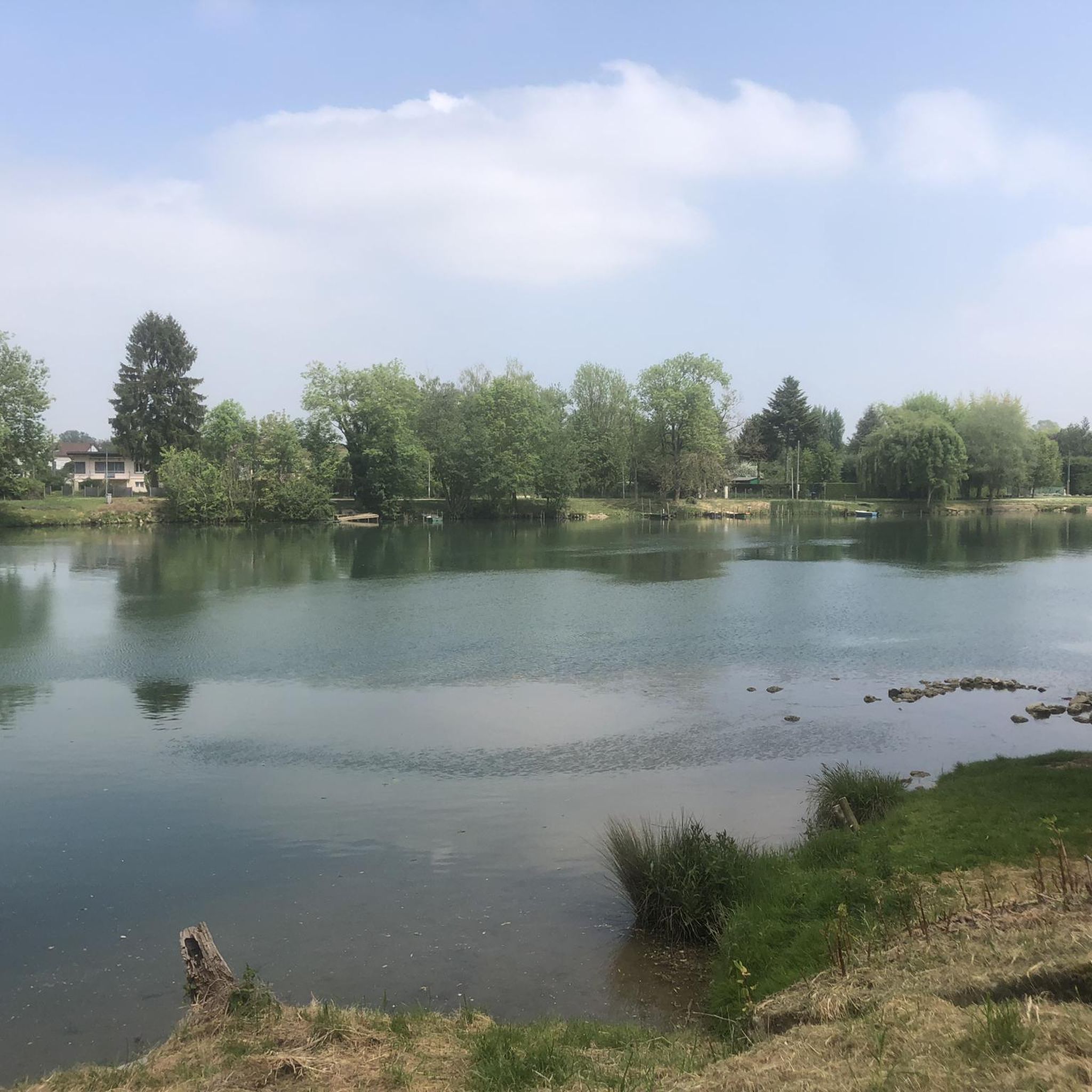
The banks along the Marne always offer beautiful motifs.
0
0

Nice place for a stopover
0
0


The forest of Montceaux offers an ideal setting for practicing many sports, including running. This forest massif near the Marne covers 685 hectares and is full of marked trails. The site is very well preserved and therefore it lends itself particularly well for a moment of disconnection from everyday life!
0
0
Frequently Asked Questions
What types of landscapes can I expect to see while hiking in Saint-Jean-les-Deux-Jumeaux?
Hiking in Saint-Jean-les-Deux-Jumeaux offers a diverse range of scenery. You'll encounter extensive farmlands, gentle plateaus, and wooded groves. A notable feature is the steep hillside, or "coteau," that descends towards the scenic alluvial plain of the Marne river. The Marne river itself forms the northern boundary, providing tranquil riverside paths. Additionally, a significant part of the Forêt domaniale de Montceaux, a large ecological zone, is within the commune, offering immersive nature walks.
Are there hiking trails suitable for beginners or those looking for an easy walk?
Yes, Saint-Jean-les-Deux-Jumeaux offers several easy trails. For example, the area has 25 easy routes, perfect for a relaxed outing. While the Jj loop from Aire de la marche is mentioned in the guide's introduction, you can find other easy options by exploring the komoot app. These trails often feature gentle terrain and shorter distances.
What are the options for more challenging hikes in the area?
For those seeking a greater challenge, Saint-Jean-les-Deux-Jumeaux has 11 difficult routes. These trails typically cover longer distances and feature more significant elevation changes. An example of a moderate route that offers a good workout is the Chestnut trail loop from Pierre-Levée, which spans 12.5 km and takes over 3 hours to complete.
Are there any circular hiking routes available?
Yes, circular routes are a popular option in Saint-Jean-les-Deux-Jumeaux, allowing you to start and end your hike in the same location. Many of the trails, like the Montceaux Forest loop from Aire de la marche, are designed as loops, offering varied scenery without retracing your steps.
What natural features or landmarks can I see along the hiking trails?
The hiking trails in Saint-Jean-les-Deux-Jumeaux offer access to several interesting natural features and landmarks. You can explore sections of the Forêt domaniale de Montceaux, enjoy views along the Marne river, and discover the Ourcq Towpath. For those interested in historical or architectural sights nearby, highlights include the Meaux Cathedral and the Collégiale Notre-Dame de Crécy-la-Chapelle.
Is Saint-Jean-les-Deux-Jumeaux suitable for family-friendly hikes?
Absolutely. The area's diverse terrain includes many easy and moderate routes that are well-suited for families. Shorter, less strenuous paths, particularly those along the Marne river or within the gentler parts of the Forêt domaniale de Montceaux, provide enjoyable outings for all ages. Look for routes with minimal elevation gain and clear paths.
Can I bring my dog on the hiking trails?
Generally, dogs are welcome on many hiking trails in the region, especially in natural areas like the Forêt domaniale de Montceaux. However, it's always recommended to keep your dog on a leash, especially in agricultural areas or near wildlife, and to check for any specific local regulations or signage on individual trails.
What do other hikers say about the trails in Saint-Jean-les-Deux-Jumeaux?
The hiking routes in Saint-Jean-les-Deux-Jumeaux are highly regarded by the komoot community, with an average rating of 4.4 stars from over 130 reviews. Hikers often praise the blend of rural tranquility, scenic riverside paths, and well-marked trails through woods and farmlands.
Are there any specific trails that offer great viewpoints?
Yes, the region is known for its picturesque views, particularly along the Marne river. Trails that traverse the "coteau" (steep hillside) descending towards the Marne alluvial plain, such as those described as 'Les coteaux de la Marne au départ de Saint-Jean-les-Deux-Jumeaux' or 'Panorama sur la Marne entre Saint-Jean-les-deux-Jumeaux et Ussy-sur-Marne' in regional descriptions, are excellent for panoramic vistas.
How many hiking routes are available in Saint-Jean-les-Deux-Jumeaux?
There are nearly 100 hiking routes available in Saint-Jean-les-Deux-Jumeaux. This includes a wide variety of options, with 25 easy routes, 60 moderate routes, and 11 difficult routes, ensuring there's something for every skill level.
Is public transport available to access hiking trailheads?
Saint-Jean-les-Deux-Jumeaux is integrated into regional networks, and while specific public transport details for every trailhead aren't provided here, the commune is accessible. For detailed information on public transport options to specific starting points, it's best to consult local transport schedules or regional tourism resources like coulommierspaysdebrie-tourisme.fr.
Are there any places to eat or stay near the hiking areas?
While specific cafes, pubs, or accommodations directly on the trails are not detailed, Saint-Jean-les-Deux-Jumeaux is a charming commune. You can find local amenities within the village itself or in nearby towns. For more information on local services, including places to eat and stay, you can check regional tourism websites.
Most popular routes around Saint-Jean-Les-Deux-Jumeaux
Most popular attractions around Saint-Jean-Les-Deux-Jumeaux

Get inspired with the komoot mobile app


Explore more
Browse the best Hikes in other regions.
