The best running trails around Saint-Sauveur
4.3
(125)
7,561
runners
343
runs
Jogging around Saint-Sauveur, Quebec, offers diverse landscapes within the Laurentian Mountains, providing extensive trail networks for all fitness levels. The region is characterized by picturesque valleys, rivers, and lakes, with trails often following former railway lines or winding through wooded areas. This natural setting creates varied terrain, from gentle, mostly paved paths to more challenging routes with significant elevation changes.
Best jogging routes around Saint-Sauveur
- The most popular jogging route is Towpath – Towpath loop from Ailly-sur-Somme, a 7.7 miles (12.4 km) trail that takes 1 hour 16 minutes to complete. This moderate route offers a flat and accessible path ideal for a steady run.
- Another top favourite among local runners is Towpath – Panorama samara loop from Saint-Sauveur, a moderate 5.1 miles (8.1 km) path. This route provides scenic views along the towpath, suitable for a refreshing run.
- Local runners also love the Étangs de la Barette – Picnic Area loop from Ailly-sur-Somme, a 11.1 miles (17.8 km) trail leading through varied terrain, often completed in about 1 hour 50 minutes.
- Jogging around Saint-Sauveur is defined by its mountainous terrain, tranquil lakes, and extensive networks like the P'tit Train du Nord. The region's running trails offer options for different ability levels, from easy, flat paths to more difficult routes with greater elevation.
- The routes in Saint-Sauveur are highly rated by the komoot community with an average score of 4.3 stars from over 140 reviews. More than 8,500 runners have used komoot to explore Saint-Sauveur's varied terrain.
Last updated: June 26, 2026
5.0
(1)
159
runners
17.0km
01:45
30m
30m
Hard run. Very good fitness required. Mostly paved surfaces. Suitable for all skill levels.
4.7
(3)
46
runners
12.4km
01:17
20m
20m
Moderate run. Good fitness required. Mostly paved surfaces. Suitable for all skill levels.

Sign up for free
5.0
(1)
29
runners
9.70km
01:00
20m
20m
Moderate run. Good fitness required. Mostly paved surfaces. Suitable for all skill levels.
28
runners
4.72km
00:29
10m
10m
Easy run. Great for any fitness level. Mostly paved surfaces. Suitable for all skill levels.
8
runners
6.06km
00:37
10m
10m
Moderate run. Good fitness required. Mostly paved surfaces. Suitable for all skill levels.
Get access to more routes and recommendations from other explorers.
Sign up for free
Already have an account?
Our route recommendations are based on thousands of hikes, rides, and runs completed by other people on komoot.
Start today with a free account
Your next adventure awaits.
Login or Signup
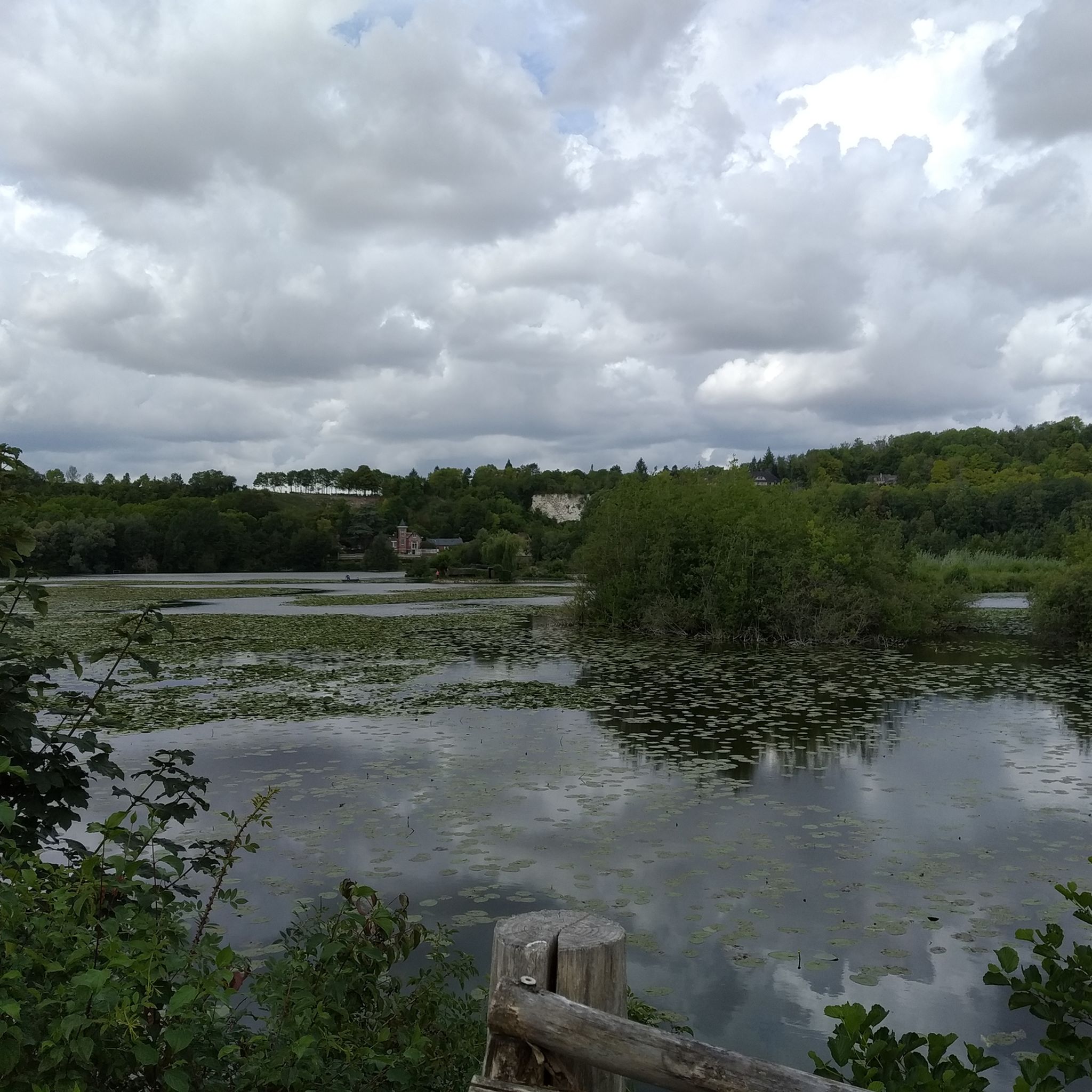
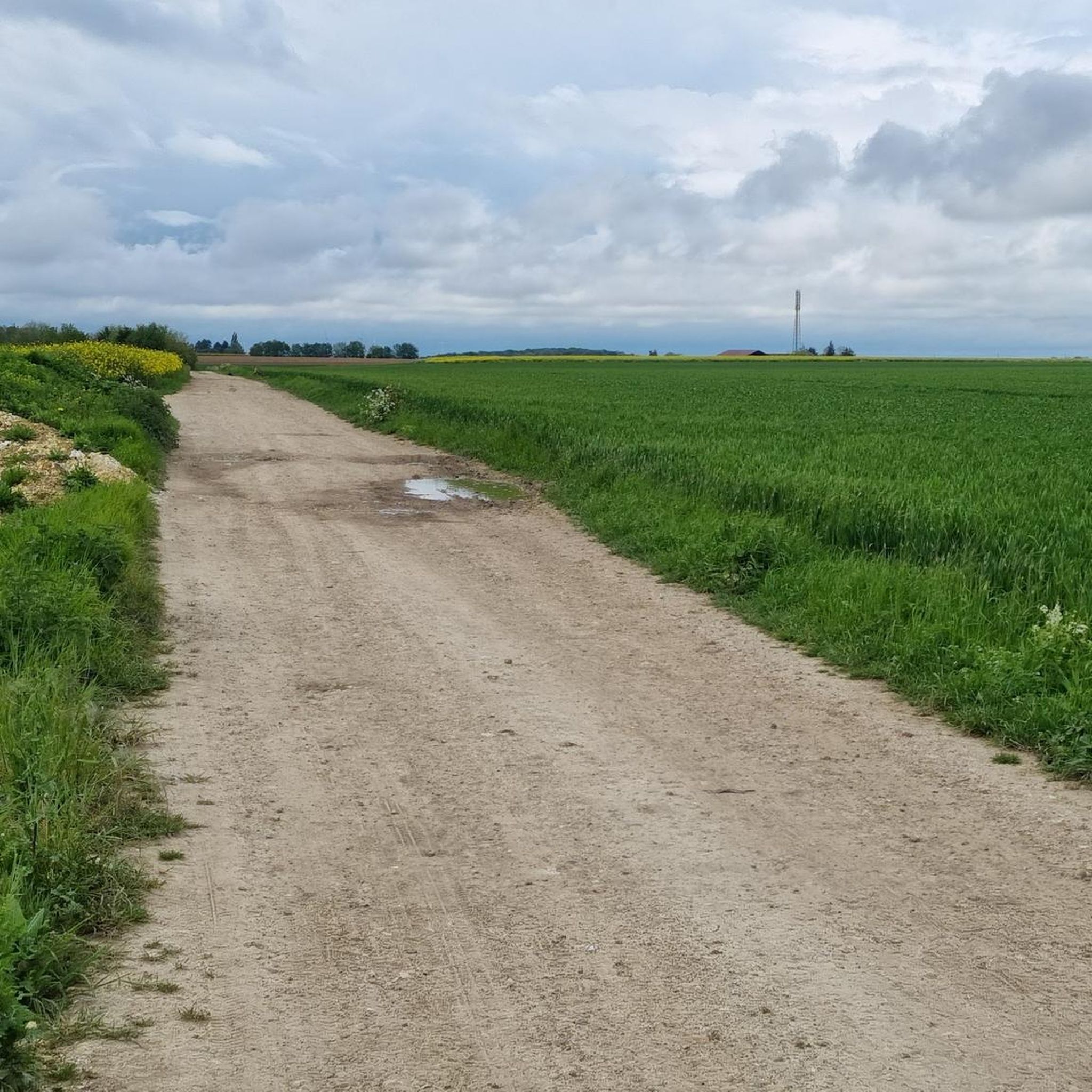
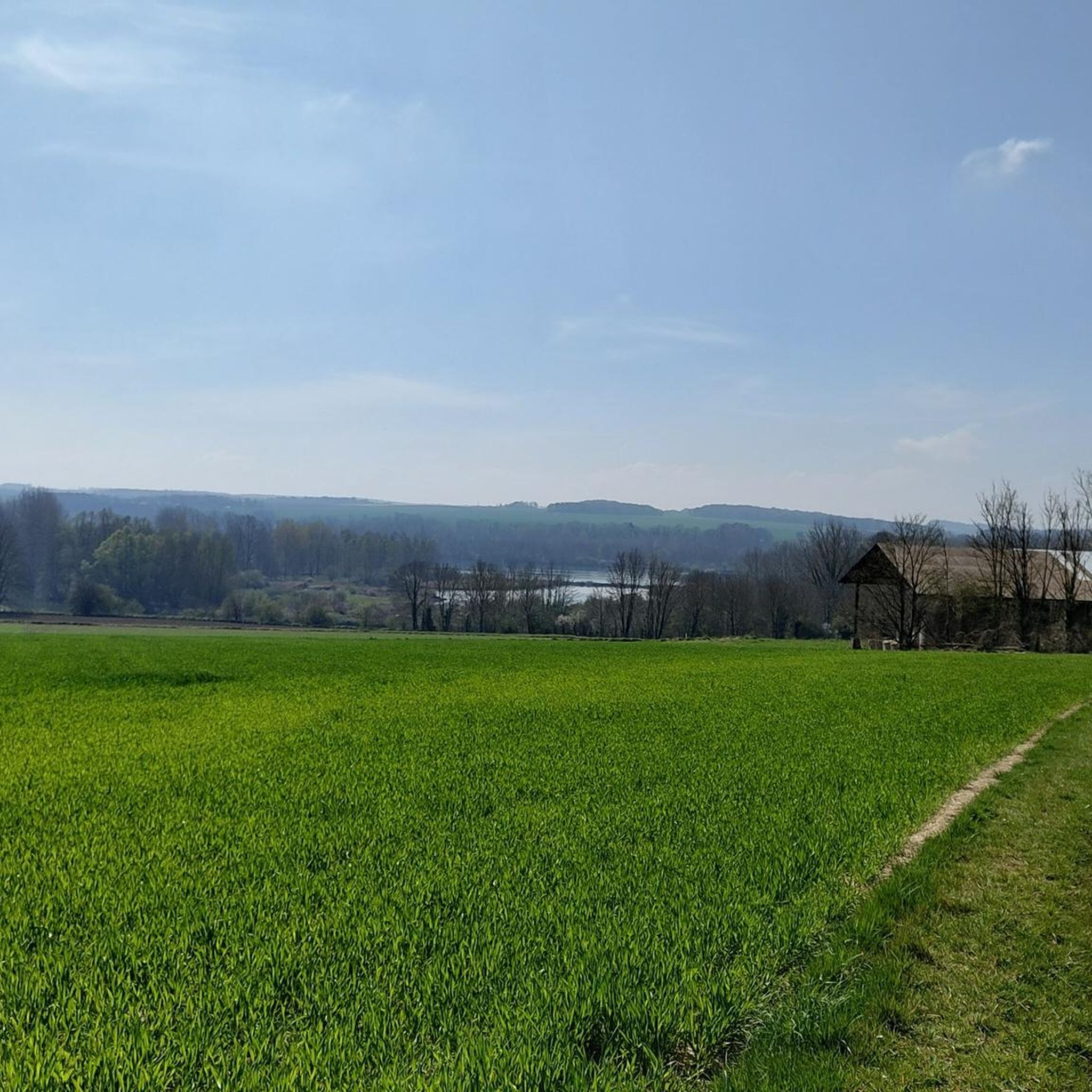


Tips from the Community


More or less smooth paths to explore.
0
0

there was even dancing here in the evening
1
0

You have to take advantage of this towpath in good weather. Possibility of various rentals for mountain bike lovers, quite a few circuits in the surrounding area. Very beautiful region which is not so flat.
1
0
A tap is available in the courtyard to fill the bottles... When the courtyard is open.
3
0


You will not regret taking a short break to go up on the bridge and enjoy the calm, tranquility and the view of Amiens Cathedral.
4
1
The Ailly-sur-Somme Lock Keeper's House is a former lock keeper's house transformed into a tourist office which offers bicycle and kayak rental and the sale of local products. You can follow the Vallée de Somme cycle route which runs along the Ham canal in Saint-Valery-sur-Somme. Along the way, you'll enjoy views of the water, wildlife, and scenery. You can also stop at other Maisons de la Vallée, such as Long, Froissy or Lamotte-Brebière, where you will find more information, services and activities. The Ailly-sur-Somme Lock Keeper's House is a privileged place to discover the history and nature of the Somme valley.
4
0
Frequently Asked Questions
How many running routes are available in the Saint-Sauveur area?
Saint-Sauveur offers a wide selection of running routes, with over 350 options available. These trails cater to various preferences, from easy jogs to more challenging runs through the Laurentian Mountains.
What kind of terrain can I expect on the jogging trails around Saint-Sauveur?
The terrain in Saint-Sauveur is diverse, ranging from mostly paved, gentle paths to more challenging routes with significant elevation changes. You'll find trails winding through wooded areas, alongside rivers and lakes, and within the picturesque mountainous landscape of the Laurentians.
Are there running routes suitable for beginners in Saint-Sauveur?
Yes, Saint-Sauveur has several easy running routes perfect for beginners or those looking for a relaxed jog. There are 37 easy routes available, offering accessible paths to enjoy the natural beauty of the region.
What do other runners say about the trails in Saint-Sauveur?
The running trails in Saint-Sauveur are highly regarded by the komoot community, holding an average rating of 4.3 stars from over 140 reviews. Runners often praise the varied terrain and the stunning natural scenery of the Laurentian Mountains.
Are there any long-distance running options, like linear parks, in Saint-Sauveur?
Yes, the region is home to the extensive Le P'tit Train du Nord Linear Park, built on a former railway line. This park stretches for 230 kilometers, offering a scenic and relatively flat route ideal for longer runs through beautiful natural landscapes, including rivers and lakes.
Are there any circular running routes in Saint-Sauveur?
Yes, many of the running routes in Saint-Sauveur are loops. For example, the Picnic Tables loop from Saint-Sauveur is a moderate 7.2 km route, and the more challenging Étangs de la Barette – Picnic Area loop from Ailly-sur-Somme covers 17.8 km.
Are the jogging routes in Saint-Sauveur family-friendly?
Many trails in Saint-Sauveur are suitable for families, especially the easier, flatter paths found in areas like John-Molson Park or sections of the P'tit Train du Nord. These routes allow families to enjoy the outdoors together.
Can I bring my dog on the running trails in Saint-Sauveur?
While specific regulations vary by trail, many outdoor areas in the Laurentians, including some trails in Saint-Sauveur, are dog-friendly. It's always recommended to check local signage or park rules for the specific trail you plan to use to ensure dogs are permitted and to understand any leash requirements.
What are some scenic points or attractions I might see while jogging in Saint-Sauveur?
Jogging in Saint-Sauveur offers breathtaking scenery, including peaceful lakes, verdant panoramas, and stunning rock formations. While specific routes vary, you might encounter highlights such as the Towpath, or the charming Ailly-sur-Somme Lockhouse, depending on your chosen path.
Are there any parks with dedicated running trails in Saint-Sauveur?
Yes, John-Molson Park in Saint-Sauveur features 2 kilometers of wooded trails that are excellent for running. Additionally, the region benefits from the extensive P'tit Train du Nord Linear Park, which provides a vast network of trails suitable for jogging.
What is the best time of year to go running in Saint-Sauveur?
Saint-Sauveur is a four-season destination, offering running opportunities year-round. While summer and fall provide pleasant temperatures and vibrant foliage, the region also caters to winter activities, meaning some trails may be adapted for snowshoeing or cross-country skiing, but many remain accessible for winter running with appropriate gear.
Are there challenging running routes for experienced runners in Saint-Sauveur?
Absolutely. For experienced runners seeking a challenge, Saint-Sauveur offers 51 difficult routes. These can include runs exceeding 10 miles with over 1000 feet of elevation gain, requiring good fitness and sure-footedness to navigate the mountainous terrain.
Most popular routes around Saint-Sauveur
Most popular attractions around Saint-Sauveur

Get inspired with the komoot mobile app


Explore more
Browse the best Running Trails & Routes in other regions.
