The best road cycling routes around Grandfontaine-Sur-Creuse
4.3
(74)
1,279
riders
186
rides
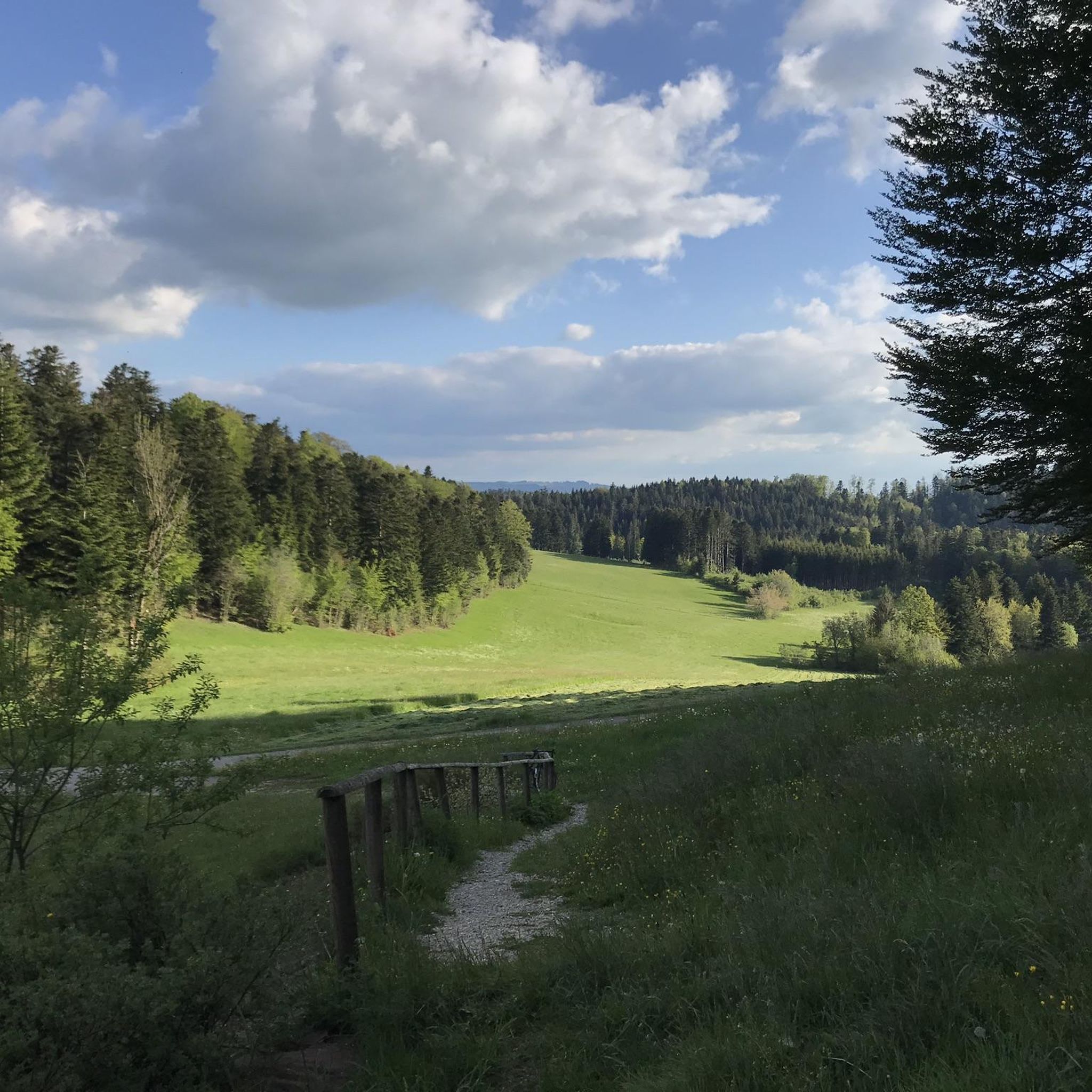
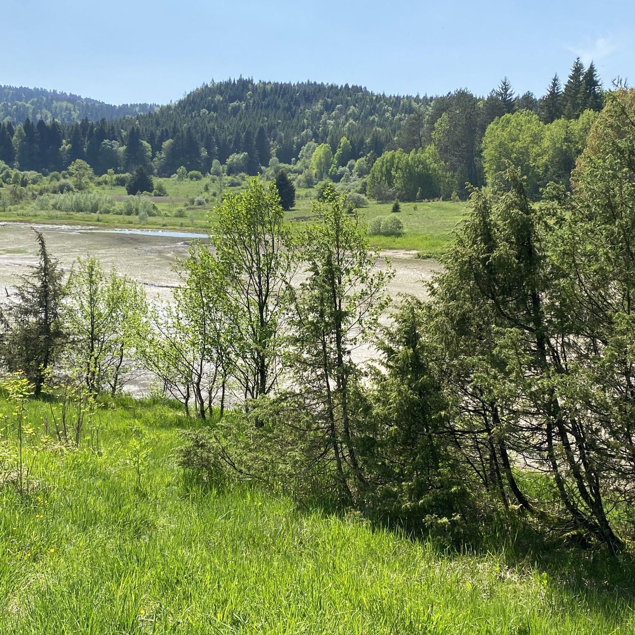
Road cycling routes around Grandfontaine-Sur-Creuse traverse the plateaus of the Doubs department, offering varied terrain for cyclists. The region is characterized by rolling hills, dense forests, and scenic valleys, providing diverse cycling experiences. Routes often follow quiet country roads, allowing for exploration of the natural landscape and proximity to the Doubs river. The topography includes both plateaus and valleys, creating a mix of gradients suitable for different skill levels.
Best road cycling routes around Grandfontaine-Sur-Creuse
- The most popular road cycling…
Last updated: July 2, 2026
17
riders
40.6km
01:57
410m
410m
Moderate road ride. Good fitness required. Mostly well-paved surfaces and easy to ride.
1.0
(1)
13
riders
33.7km
01:39
330m
330m
Moderate road ride. Good fitness required. Mostly well-paved surfaces and easy to ride.

Sign up for free
4.0
(1)
7
riders
34.9km
01:57
580m
580m
Moderate road ride. Good fitness required. Mostly well-paved surfaces and easy to ride.
6
riders
64.9km
03:00
710m
710m
Moderate road ride. Good fitness required. Mostly well-paved surfaces and easy to ride.
6
riders
26.6km
01:12
300m
300m
Easy road ride. Great for any fitness level. Mostly well-paved surfaces and easy to ride.
Get access to more routes and recommendations from other explorers.
Sign up for free
Already have an account?
Our route recommendations are based on thousands of hikes, rides, and runs completed by other people on komoot.
Start today with a free account
Your next adventure awaits.
Login or Signup

Tips from the Community

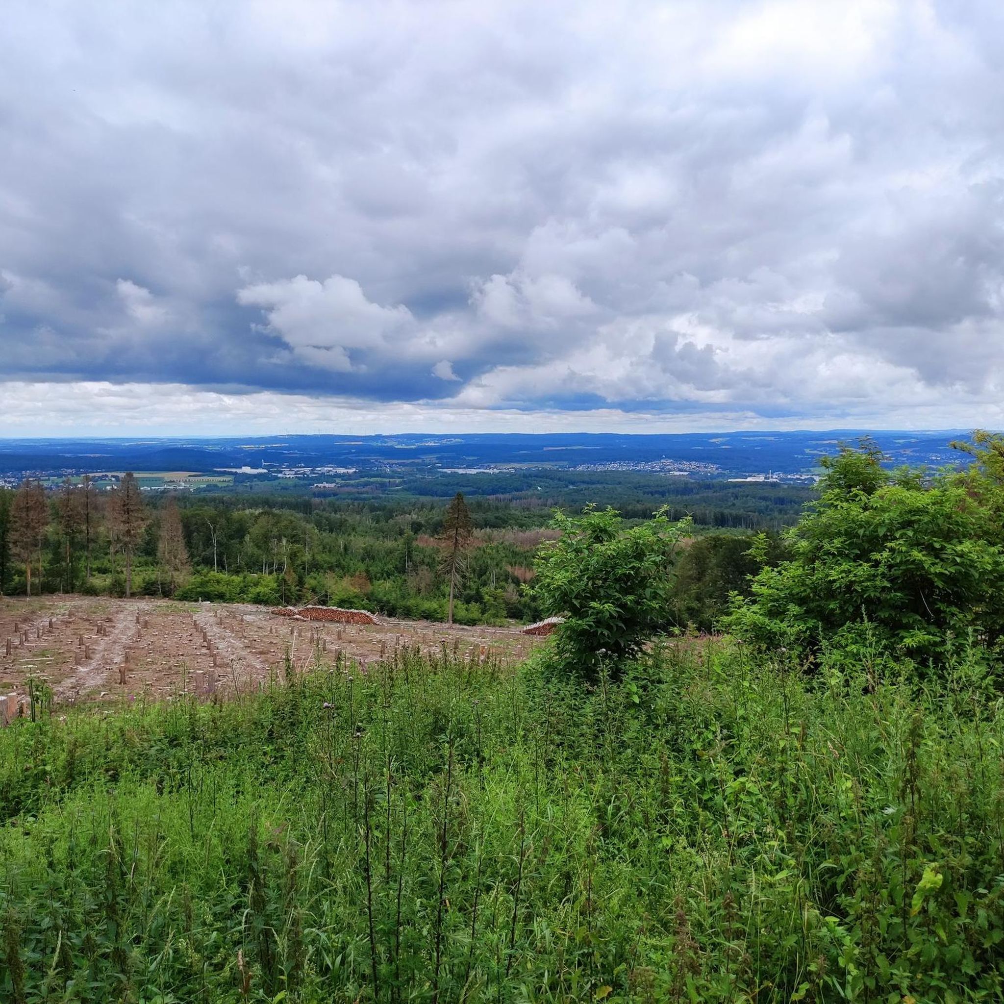
A unique promontory combining a place of worship and an exceptional panorama over the Val de Vennes and even the Jungfrau, a peak of over 4000m in the Bernese Alps in Switzerland!
0
0

Pretty, fairly regular climb over 3km at 5% on average. It leads to the Chapelle Sainte-Radegonde, built in 1541 and a major place of pilgrimage in the region until 1950. A restoration of the chapel took place in 1854, giving us the building we see today.
0
0

If you are looking for a historic and picturesque hike in the Doubs, you can visit the Sainte-Radegonde de Loray chapel. This chapel was built in 1541 and was a place of pilgrimage for people with walking difficulties. It is said that Sainte-Radegonde, former queen of the Franks, fought and defeated a ghoul there. The chapel is located near the Roche Barchey, a rock formation with a deep pit that was believed to be a gate to hell. You can enjoy the panoramic view from the Roche Barchey belvedere and see the traces of an ancient castle nearby.
3
0

In the entrance, there are two strings to ring the bells: as in "Notre-Dame" !! '
1
0
Frequently Asked Questions
What kind of terrain can I expect when road cycling around Grandfontaine-sur-Creuse?
The region around Grandfontaine-sur-Creuse is characterized by rolling hills, dense forests, and scenic valleys across the plateaus of the Doubs department. You'll find a mix of gradients, from gentle ascents to more challenging climbs, often on quiet country roads.
How many road cycling routes are available in the Grandfontaine-sur-Creuse area?
There are nearly 180 road cycling routes around Grandfontaine-sur-Creuse available on komoot. These routes cater to various skill levels, from easy loops to more demanding rides with significant elevation gain.
Are there road cycling routes suitable for beginners or those looking for an easier ride?
Yes, there are 13 easy road cycling routes in the area. An example is the Beautiful path on the plateau loop from Vercel-Villedieu-le-Camp, which is 26.6 km long with moderate elevation gain, offering a pleasant ride through the plateau.
What are some notable landmarks or viewpoints I can discover along the cycling routes?
Cyclists can explore several interesting points. Consider visiting the Sainte-Radegonde Chapel or enjoying panoramic views from the Roche Barchey viewpoint. The Le Barchet viewpoint also offers scenic vistas of the surrounding landscape.
What do other road cyclists think about the routes in Grandfontaine-sur-Creuse?
The road cycling routes in Grandfontaine-sur-Creuse are highly rated by the komoot community, with an average score of 4.4 out of 5 stars from over 60 reviews. Cyclists often praise the varied terrain, quiet country roads, and scenic views across the Doubs plateaus.
Are there any challenging road cycling routes for experienced riders?
Yes, the region offers 45 difficult road cycling routes for experienced riders. These routes feature more significant elevation gains and longer distances, providing a good challenge. For example, the Girardot Mill – Val de Consolation loop from Loray covers 44.1 km with over 650 meters of elevation gain.
What is the best time of year for road cycling in Grandfontaine-sur-Creuse?
The climate in the Doubs department features temperate summers and cold winters. Therefore, the spring, summer, and early autumn months are generally the most pleasant for road cycling, offering comfortable temperatures and lush scenery. Always check local weather forecasts before heading out.
Are there any long-distance cycling routes or networks accessible from Grandfontaine-sur-Creuse?
Yes, the region is close to the Doubs Valley by Bike, a 160 km route from Montbéliard to Dôle, passing through Besançon. This route offers sections along the Doubs river with dramatic wooded slopes and rocky ridges, providing excellent opportunities for longer rides. More information can be found on France Vélo Tourisme.
What kind of natural features can I expect to see while cycling in this area?
The routes often pass through the diverse landscapes of the Doubs department, including rolling hills, dense forests, and scenic valleys. You'll be cycling near the Regional Natural Park of Doubs, which is known for its natural beauty. The proximity to the Doubs river also means you might encounter dramatic riverine landscapes.
Are there any historical sites or cultural attractions near the cycling routes?
Beyond natural beauty, the region offers historical depth. The Abbaye de la Grâce-Dieu is a notable religious building nearby. Additionally, towns like Morteau and Pontarlier have cultural heritage, and Besançon, a larger city within cycling distance, boasts a UNESCO World Heritage Site citadel.
Can I find circular road cycling routes around Grandfontaine-sur-Creuse?
Yes, many of the road cycling routes in the area are designed as loops, allowing you to start and finish in the same location. Examples include the Roadbike loop from Flangebouche and the Étang – Puits de Cival loop from Loray, providing convenient options for your ride.
What are the typical distances and durations for road cycling routes in the area?
Routes vary significantly in length and duration. You can find moderate routes like the Sainte-Radegonde Chapel loop from Avoudrey, which is about 34.8 km and takes around 1 hour 55 minutes. Longer and more challenging routes can exceed 40 km and take over 2 hours.
Most popular routes around Grandfontaine-Sur-Creuse
Most popular attractions around Grandfontaine-Sur-Creuse

Get inspired with the komoot mobile app


Explore more
Browse the best Road cycling routes in other regions.
