The best walks and hikes around Courtetain-Et-Salans
4.3
(217)
1,037
hikers
26
hikes
Hiking around Courtetain-Et-Salans offers diverse landscapes in the Doubs department of Bourgogne-Franche-Comté. The region is characterized by a succession of ridges and valleys, with elevations ranging from 541 meters in the commune to 726 meters on surrounding ridges. River valleys, including the Doubs, Loue, and Lison, shape the terrain, providing varied routes for outdoor exploration. Prominent cliffs and rock formations also contribute to the area's distinct topography.
Best hiking trails around Courtetain-Et-Salans
- The most popular hiking route is L'abbaye de…
Last updated: July 6, 2026
4.4
(15)
85
hikers
7.63km
02:07
130m
130m
This moderate 4.7-mile (7.6 km) hiking loop takes you through the tranquil Bois de la Glacière and past the historic Abbaye de la Grâce-Dieu
3.0
(16)
32
hikers
7.61km
02:21
270m
270m
Hike the moderate 4.7-mile Val de Cusance Loop to explore the Cusancin valley, discover the Source Bleue, and enjoy panoramic views.

Sign up for free
4.3
(17)
100
hikers
19.4km
05:53
640m
630m
Hard hike. Very good fitness required. Easily-accessible paths. Suitable for all skill levels.
4.5
(2)
14
hikers
4.52km
01:10
30m
30m
Easy hike. Great for any fitness level. Easily-accessible paths. Suitable for all skill levels.
3.7
(3)
15
hikers
4.27km
01:18
130m
130m
Easy hike. Great for any fitness level. Easily-accessible paths. Suitable for all skill levels.
Get access to more routes and recommendations from other explorers.
Sign up for free
Already have an account?
Our route recommendations are based on thousands of hikes, rides, and runs completed by other people on komoot.
Start today with a free account
Your next adventure awaits.
Login or Signup

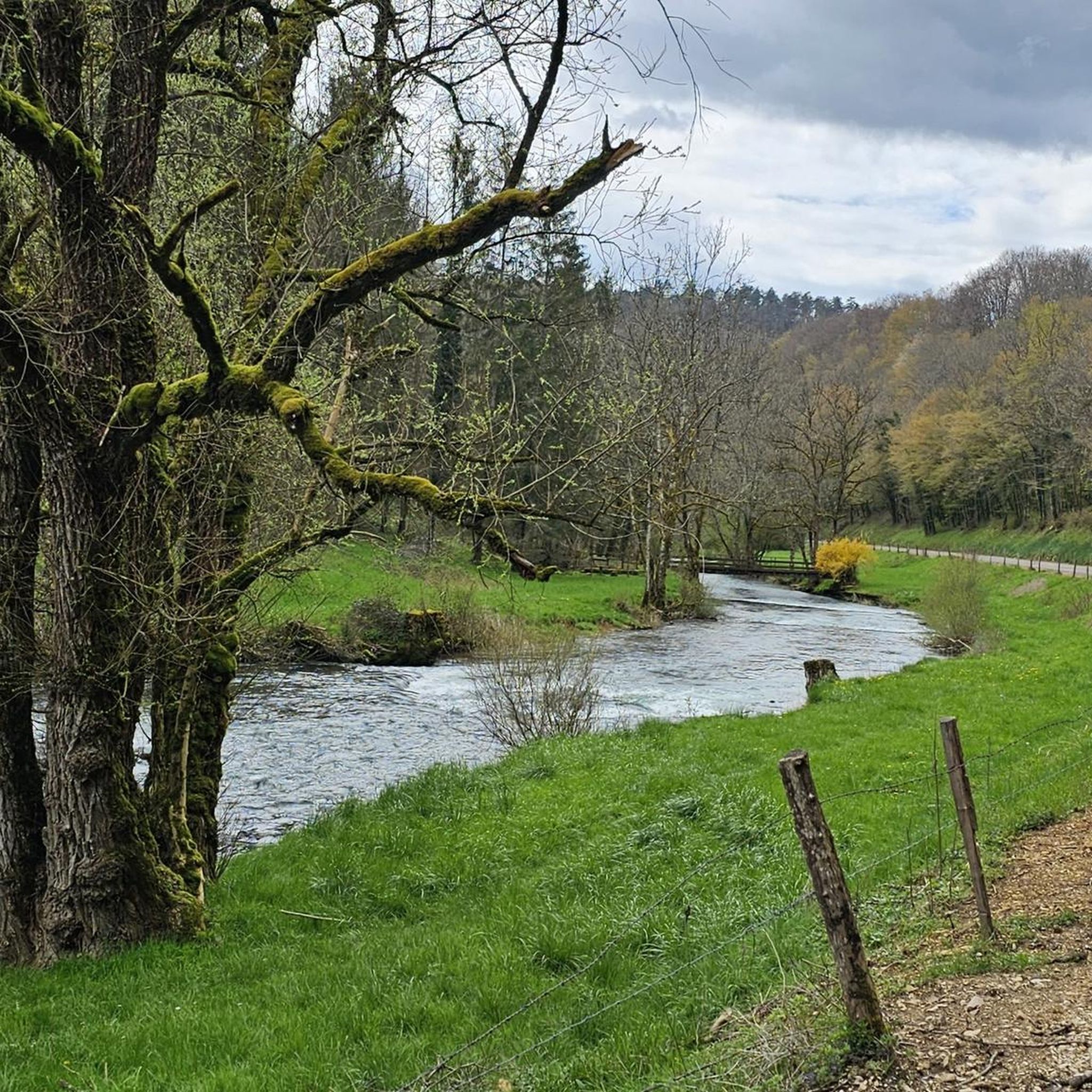
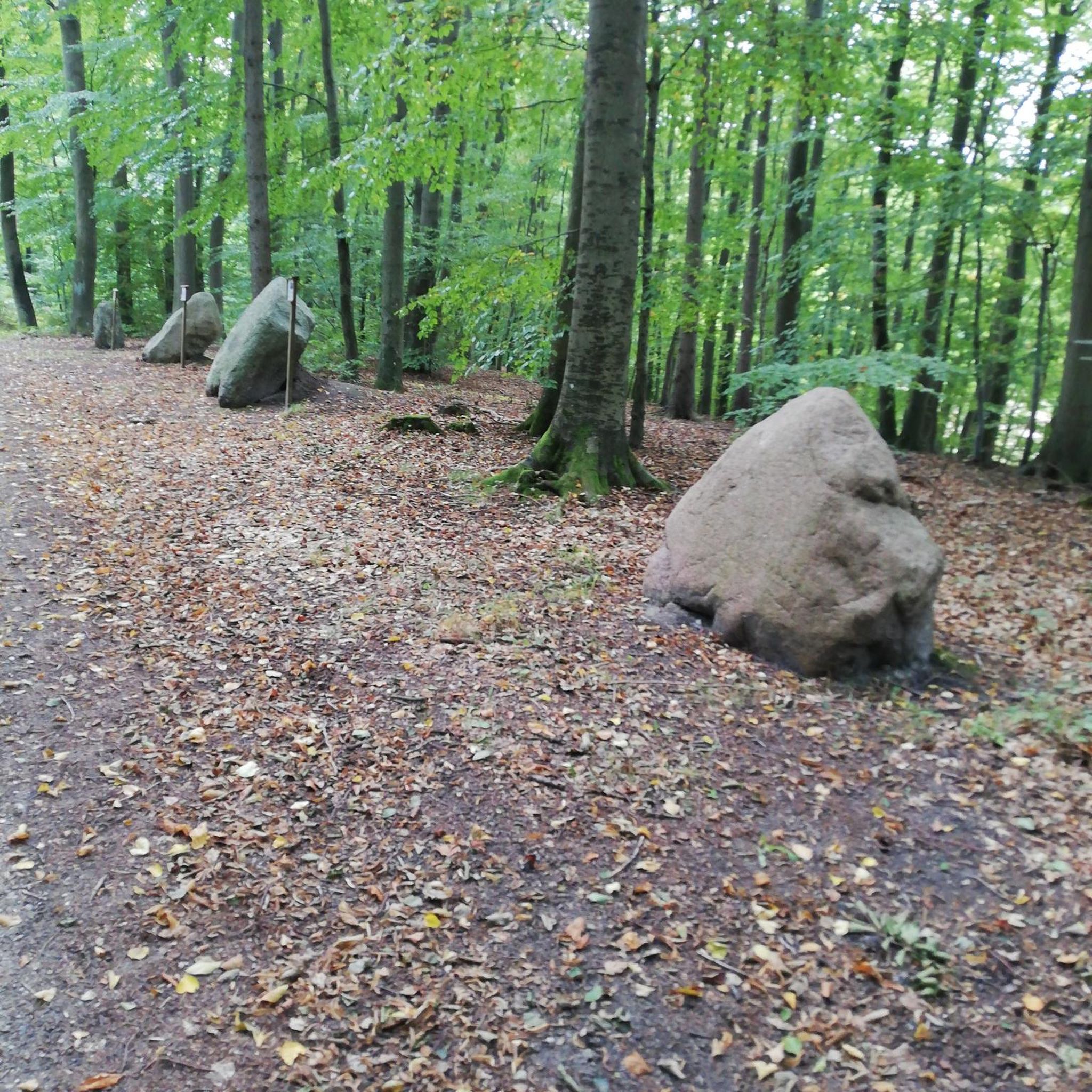

Tips from the Community

Please note, this hike was done in May 2025, and the very last section was inaccessible. We were unable to reach the source of the Cusancin River; fallen trees and overgrown vegetation made the path impossible to find. We had to turn around and return to the starting point by road (barely a hundred meters of asphalt).
1
0

Built on the foundations of a 12th century feudal castle, the chapel dominates the hamlet of Val-de-Cusance. It was built in 1880 and bears the name of Saint-Ermenfroi, who had built an abbey intended to accommodate the sick and foreigners in the 7th century. The chapel is the ideal place to enjoy a beautiful panorama of the valley, with greenery as far as the eye can see.
1
1
The green spring or the Cuse is located on the left side of the river at approximately the same height as the blue spring. This is the true source of Cusancin. The upper gallery of the cave was walled with dry stones.
0
0
The blue spring is a Vauclusian spring which emerges in an oval basin. Its depth is nine meters. Divers explored the submerged gallery over a length of 220 meters before stumbling upon a narrowing which was not crossed. The gallery is made up of two siphons. The turquoise blue waters give it its name.
1
0

The Abbaye de la Grâce-Dieu is a former Cistercian abbey located on the banks of the Audeux. It is a peaceful place in a wooded valley.
2
0
It is one of the two sources that feed the Cusancin, a river also known as “the Cuse”. It is greener than the blue of the Cove which is called the Blue Source. This is on the other side of the road. The Cuse and the Anse join and lend their name to the neighboring village: Cusance.
2
0
As the name suggests, this water is crystal clear sea blue. Is it worth visiting and maybe taking a dip?
2
0

This point of view will give you the opportunity to admire the Abbaye de la Grâce-Dieu below.
0
0
Frequently Asked Questions
How many hiking trails are available around Courtetain-Et-Salans?
There are over 25 hiking trails around Courtetain-Et-Salans, catering to various skill levels. You'll find a good mix of easy, moderate, and challenging routes to explore the diverse landscapes of the Doubs department.
What kind of terrain can I expect on hikes around Courtetain-Et-Salans?
The region is characterized by a dynamic topography of ridges and valleys, shaped by rivers like the Doubs, Loue, and Lison. You can expect trails winding through picturesque river valleys, past prominent cliffs such as The Grange-Ravey cliffs (The Grange-Ravey cliffs) and Rochers de Sous-Buen (Rochers de Sous-Buen), and through woodlands. Elevations range from around 541 meters in the valleys to 726 meters on the surrounding ridges.
Are there any family-friendly hiking trails in Courtetain-Et-Salans?
Yes, there are several easy trails suitable for families. For instance, the Grâce-Dieu Icehouse loop from Chaux-lès-Passavant is an easy 4.5 km route with minimal elevation gain, perfect for a leisurely family outing.
Can I hike with my dog in Courtetain-Et-Salans?
Many trails in the Courtetain-Et-Salans area are dog-friendly, allowing you to enjoy the natural beauty with your canine companion. It's always recommended to keep your dog on a leash, especially in areas with wildlife or livestock, and to check for any specific local regulations on individual routes.
Are there circular hiking routes available?
Yes, many of the trails around Courtetain-Et-Salans are designed as circular routes, offering varied scenery without retracing your steps. A popular option is L'abbaye de la Grâce-Dieu — boucle par le bois de la Glacière, a moderate 7.6 km loop exploring the area around the Grâce-Dieu abbey.
Are there any hikes that feature waterfalls or natural springs?
Absolutely. The region is rich in natural water features. You can explore the scenic valley and source of the Cusancin, or discover Cusancin spring (Cusancin spring) and La Source bleue (La Source bleue) on the Saint-Erminfroid Chapel – The Blue Spring loop from Guillon-les-Bains. The impressive Saut du Doubs waterfall is also within reach for a dedicated excursion.
What natural landmarks or viewpoints can I explore while hiking?
Beyond the river valleys and springs, the area offers stunning rock formations and viewpoints. You can visit the dramatic Grange-Ravey cliffs (The Grange-Ravey cliffs) or the Rochers de Sous-Buen (Rochers de Sous-Buen). The Boucle du Doubs at Baume-les-Dames (Boucle du Doubs at Baume-les-Dames) also offers picturesque river views.
What is the best time of year for hiking in Courtetain-Et-Salans?
The diverse landscapes of Courtetain-Et-Salans make it suitable for hiking across multiple seasons. Spring and autumn offer pleasant temperatures and vibrant scenery, while summer is ideal for enjoying the river valleys. Even winter can be beautiful for those prepared for colder conditions, with potential for snow-covered trails.
What do other hikers say about the trails in Courtetain-Et-Salans?
The trails around Courtetain-Et-Salans are highly rated by the komoot community, with an average score of 4.3 stars from over 170 reviews. Hikers often praise the varied terrain, the tranquility of the woodlands, and the beautiful natural features like springs and river views.
Are there any challenging hikes for experienced trekkers?
Yes, for those seeking a more demanding experience, there are difficult routes available. The Saint-Erminfroid Chapel – The Blue Spring loop from Guillon-les-Bains is a 19.5 km trail with significant elevation changes, typically taking nearly 6 hours to complete, requiring good fitness and sure-footedness.
Where can I find parking for hiking trails in Courtetain-Et-Salans?
Parking information is typically available in the details of individual komoot tours. Many trailheads in and around Courtetain-Et-Salans, especially those starting from villages like Cusance or Guillon-les-Bains, offer designated parking areas for hikers. It's advisable to check the specific tour page for precise parking instructions.
Are there places to eat or stay near the hiking trails?
While Courtetain-Et-Salans itself is a small commune, the surrounding villages and towns in the Doubs department offer various options for accommodation, cafes, and restaurants. You'll find choices ranging from local eateries to guesthouses, particularly in larger nearby settlements, providing convenient stops before or after your hikes.
Most popular routes around Courtetain-Et-Salans
Most popular attractions around Courtetain-Et-Salans

Get inspired with the komoot mobile app


Explore more
Browse the best Hikes in other regions.
