The best road cycling routes around Languimberg
4.3
(52)
1,679
riders
87
rides
Road cycling routes around Languimberg traverse a landscape characterized by dense forests, expansive reservoir lakes, and a network of canals within the Lorraine Regional Nature Park. The region features agricultural plateaus, forest valleys, and wide fields, offering varied terrain for cyclists. While many routes utilize flat towpaths along the Sarre Coal Canal and Marne-Rhine Canal, more challenging options with notable elevation changes are available. The area also includes limestone formations and the open Moselle valley.
Best road cycling routes around…
Last updated: May 25, 2026
23
riders
53.9km
02:13
380m
380m
Moderate road ride. Good fitness required. Mostly well-paved surfaces and easy to ride.
11
riders
74.8km
03:13
490m
490m
Moderate road ride. Good fitness required. Mostly well-paved surfaces and easy to ride.

Sign up for free
10
riders
74.3km
03:07
560m
560m
Moderate road ride. Good fitness required. Mostly well-paved surfaces and easy to ride.
5.0
(1)
9
riders
64.1km
02:45
580m
580m
Moderate road ride. Good fitness required. Mostly well-paved surfaces and easy to ride.
8
riders
56.5km
02:43
410m
410m
Moderate road ride. Good fitness required. Mostly well-paved surfaces and easy to ride.
Get access to more routes and recommendations from other explorers.
Sign up for free
Already have an account?
Our route recommendations are based on thousands of hikes, rides, and runs completed by other people on komoot.
Start today with a free account
Your next adventure awaits.
Login or Signup
Tips from the Community


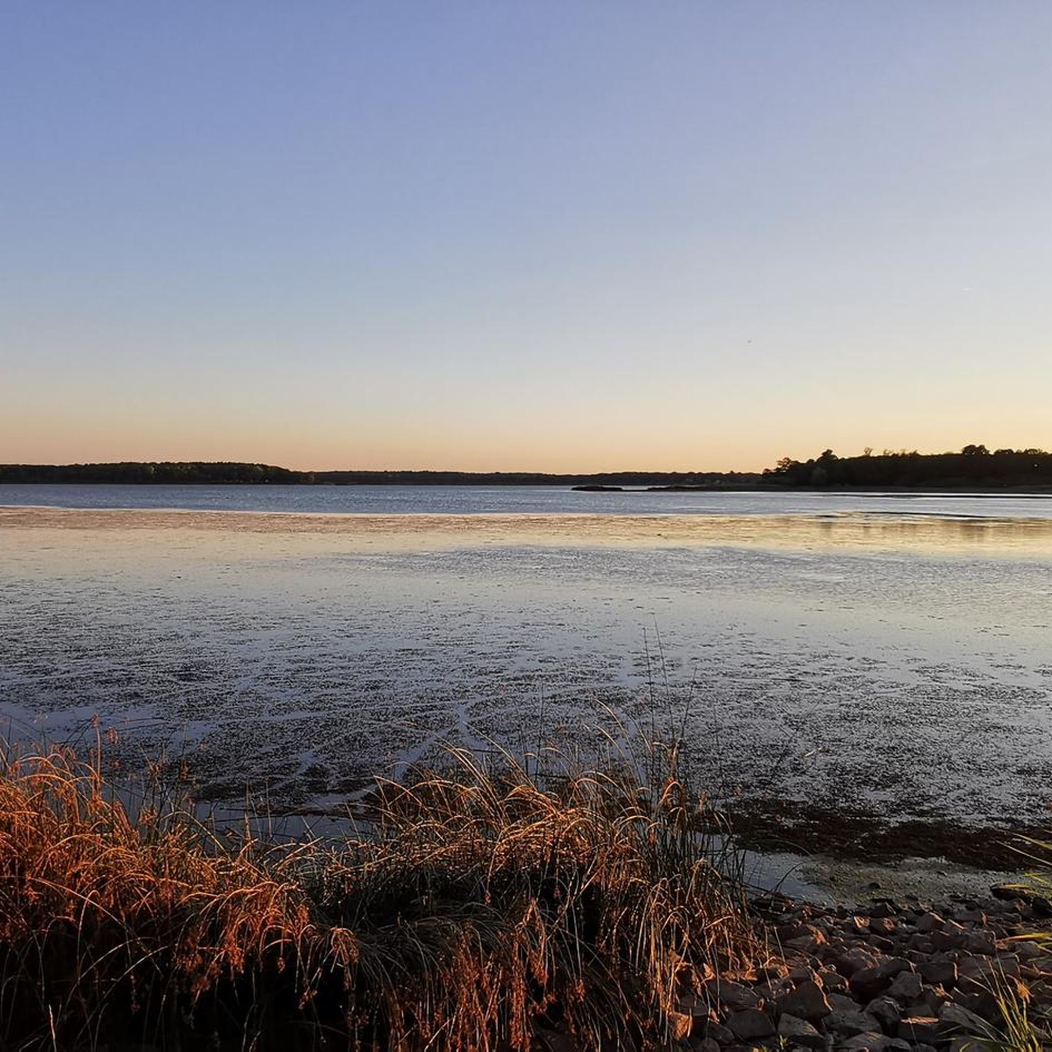
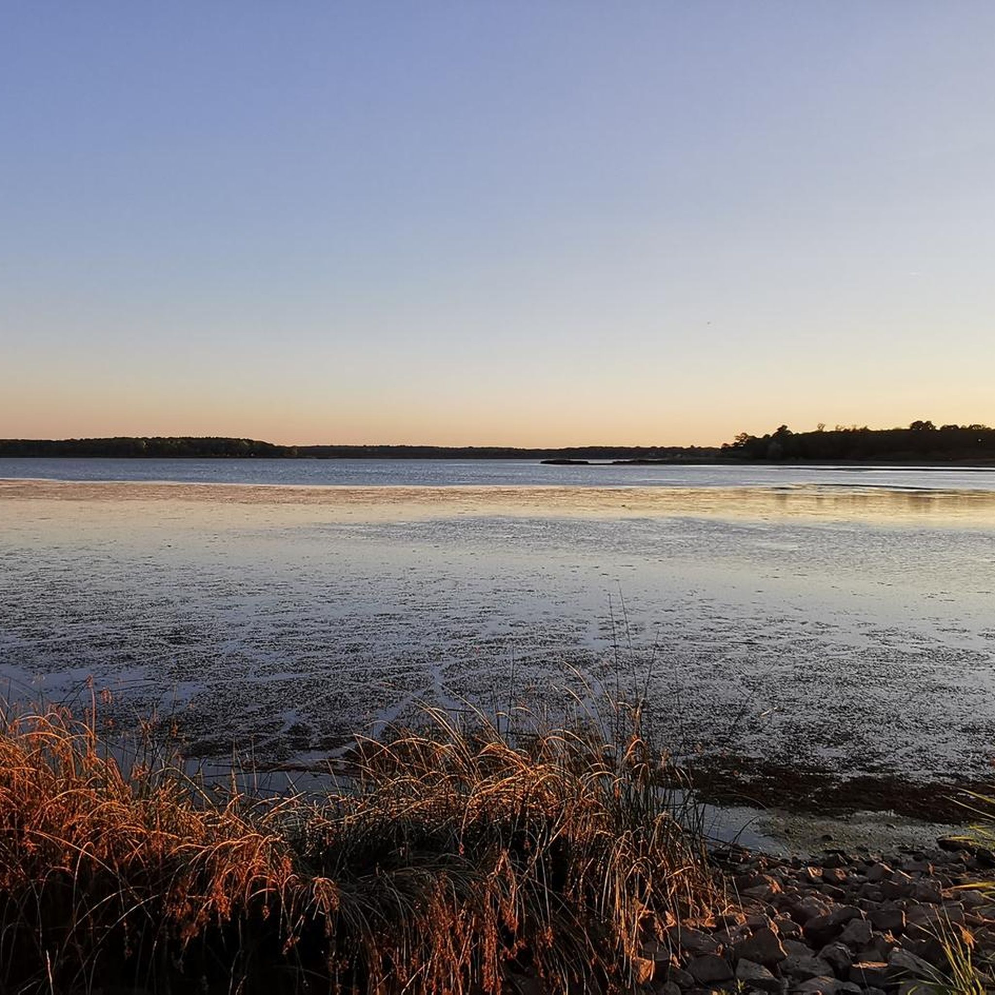
The lake is located in a kind of park. Not a soul there.
0
0

The factory and its associated residential quarters, owned by Czech shoe manufacturer Tomáš Baťa, were built between 1931 and 1935, modeled on the model town of Zlín in the Czech Republic, Bata's hometown. It is best reached from the Rhine-Marne Canal via the former railway bridge at Lock No. 8 and the former train station building. The dirt road is easily accessible even on a racing bike in dry weather. First, you reach the former factory buildings with their typical red and white color scheme. In accordance with the Athens Charter, the living areas were separated from those used for work. Accordingly, the actual residential settlement is laid out a few hundred meters up a hill. Here, too, the residential buildings are constructed in the Classical Modern style as cubic structures with flat roofs. I particularly liked the red-brick houses in the first section, but the church at the highest point of the settlement is also worth a look.
0
0

It's very beautiful. There's a view of the pond and the church of Tarquimpole between two trees.
0
0

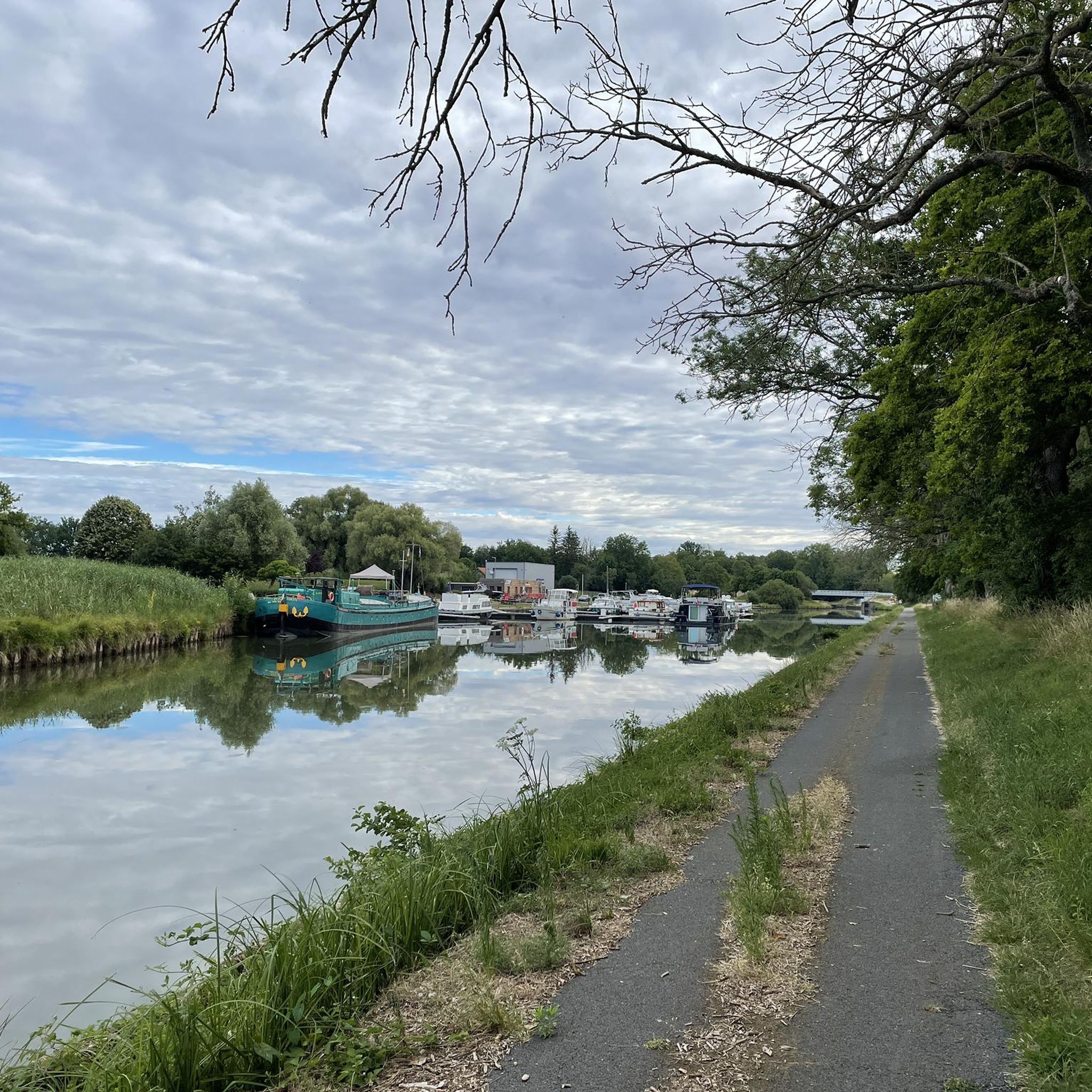
A little further away you can still find the old canal and locks with lock houses. I have added 2 or 3 pictures.
4
0

beautiful agricultural property that you can also visit
0
0

The Etang des Souches is surrounded by lush vegetation and offers a relaxing atmosphere where you can admire the flora and fauna.
2
0
Frequently Asked Questions
How many road cycling routes are available around Languimberg?
There are over 70 road cycling routes around Languimberg, offering a wide variety of options for different skill levels. The komoot community has explored these routes over 1,400 times.
What kind of terrain can I expect on road cycling routes near Languimberg?
The region around Languimberg features diverse terrain, including dense forests, expansive reservoir lakes, and a comprehensive network of canals. Many routes utilize flat towpaths along the Sarre Coal Canal and the Marne-Rhine Canal, providing relaxed rides. You'll also find agricultural plateaus, forest valleys, and wide fields, with some routes offering notable elevation changes for more challenging rides.
Are there road cycling routes suitable for beginners or families in Languimberg?
Yes, Languimberg offers 17 easy road cycling routes, many of which utilize the often-flat towpaths along the canals, making them ideal for leisurely exploration and family-friendly rides. These routes provide a relaxed way to experience the picturesque scenery.
Are there challenging road cycling routes for experienced cyclists?
While many routes are moderate, there are 2 difficult road cycling routes available for experienced cyclists seeking more challenging rides with significant elevation changes. These routes often venture into areas with more varied topography, such as the open Moselle valley.
What natural features or landmarks can I see while road cycling around Languimberg?
Road cycling around Languimberg allows you to explore a rich natural landscape. You can encounter the extensive Canal de la Marne au Rhin Cycle Path, the impressive The Great Lock of Réchicourt, and various bridges like Crossing the small pond and La Forge Metal Canal Bridge. The routes also pass by significant water bodies such as the Étang du Stock Dam and offer magnificent views of the Stock pond and Gondrexange Little Pond.
Are there circular road cycling routes available in Languimberg?
Yes, many road cycling routes in Languimberg are designed as loops, allowing you to start and end at the same point. Examples include the Sainte-Anne Chapel – Salines de Dieuze loop from Rhodes and the Grande Écluse de Réchicourt – Gondrexange Pond Causeway loop from Languimberg.
What is the best time of year for road cycling in Languimberg?
The region is generally pleasant for cycling from spring through early autumn. During these seasons, the weather is typically mild, and the natural landscapes, including forests and pond complexes, are at their most vibrant. Always check local weather conditions before heading out.
What do other road cyclists say about the routes in Languimberg?
The road cycling routes around Languimberg are highly rated by the komoot community, with an average score of 4.2 stars from over 30 reviews. Cyclists often praise the serene rural landscapes, the well-maintained canal towpaths, and the variety of routes that cater to different fitness levels.
Are there road cycling routes that follow canals or waterways?
Absolutely. A significant feature of road cycling in Languimberg is the extensive use of towpaths along the Sarre Coal Canal and the Marne-Rhine Canal. These routes offer flat, scenic rides through picturesque scenery, often passing by large reservoir lakes.
Can I find parking easily for road cycling routes in Languimberg?
While specific parking locations are not detailed for every route, Languimberg is a rural area, and starting points for many routes are often accessible with parking available in or near villages, or at popular natural attractions like the pond complexes. It's advisable to check the route details on komoot for specific starting points and potential parking information.
Are there any places to stop for refreshments or cafes along the road cycling routes?
Given the rural nature of Languimberg and its surrounding areas, refreshment stops like cafes or small eateries might be found in the villages you pass through. For longer rides, it's recommended to carry sufficient water and snacks, especially when venturing into more secluded sections of the Lorraine Regional Nature Park.
What is the average distance and elevation gain for road cycling routes in Languimberg?
The routes vary significantly, but many popular moderate routes range from 50 to 70 km (30 to 45 miles) with elevation gains typically between 300 and 600 meters. For example, the Étang du Stock – Étang des Souches loop from Rhodes is 64.2 km with 582 meters of elevation gain.
Most popular routes around Languimberg
Most popular attractions around Languimberg

Get inspired with the komoot mobile app


Explore more
Browse the best Road cycling routes in other regions.
