Top 8 Mountain Passes around Entraigues
Best mountain passes around Entraigues offer diverse terrain for cycling and hiking in the broader region. While Entraigues itself is known for its historical sites and local trails, the surrounding areas provide access to significant Alpine passes. These routes feature varied elevations and landscapes, catering to different activity levels. The region's natural features include challenging climbs and scenic viewpoints.
Best mountain passes around Entraigues
- The most popular mountain passes is Ornon Pass, a mountain pass that features two distinct…
Last updated: June 26, 2026
Ornon Pass
Highlight • Mountain Pass
Translated by Google •
Tip by

Plan Collet Pass
Highlight • Mountain Pass
Departure in the Undergrowth by a forest track, it climbs well up to the …
Translated by Google •
Tip by

Sign up now to discover places like this
Get recommendations on the best single tracks, peaks, & plenty of other exciting outdoor places.
Sign up for free
Vallon Pass
Highlight • Mountain Pass
The access to …
Translated by Google •
Tip by

Parquetout Pass
Highlight • Mountain Pass
Translated by Google •
Tip by

Col de l'Holme
Highlight • Mountain Pass
Translated by Google •
Tip by
Sign up for free to discover even more mountain passes around Entraigues.
Sign up for free
Already have an account?
Start today with a free account
Your next adventure awaits.
Login or Signup
Other adventures around Entraigues

Tips from the Community

It's an ideal starting point for the hike. There is a shelter to have a snack, and it's a few minutes from the Sainte-Luce farm. In spring it's a known spot for flowers and particularly daffodils.
0
0

From Le Bourg-d'Oisans the pass is very pleasant to drive.
1
0

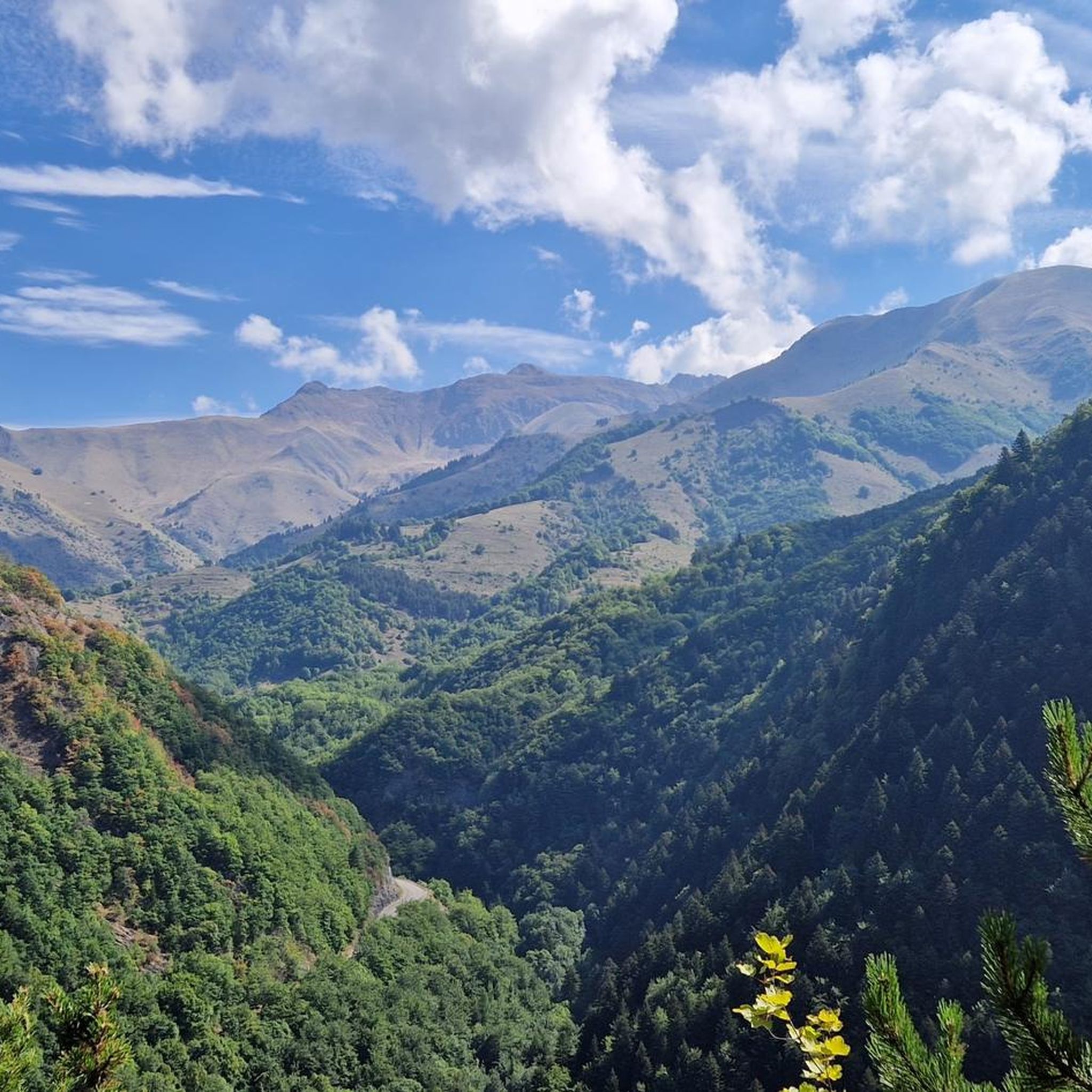
The Col d'Ornon, perched at 1,371 meters above sea level in the French Alps, is a captivating mountain pass offering spectacular views. Famous for cycling and hiking, its winding roads and trails invite adventure.
0
0

Traffic-calmed climb without extreme gradients. Fun to do from both sides.
3
0

Col can be VERY steep, especially from Entraigues. On the other side it is more lenient and accessible.
1
0

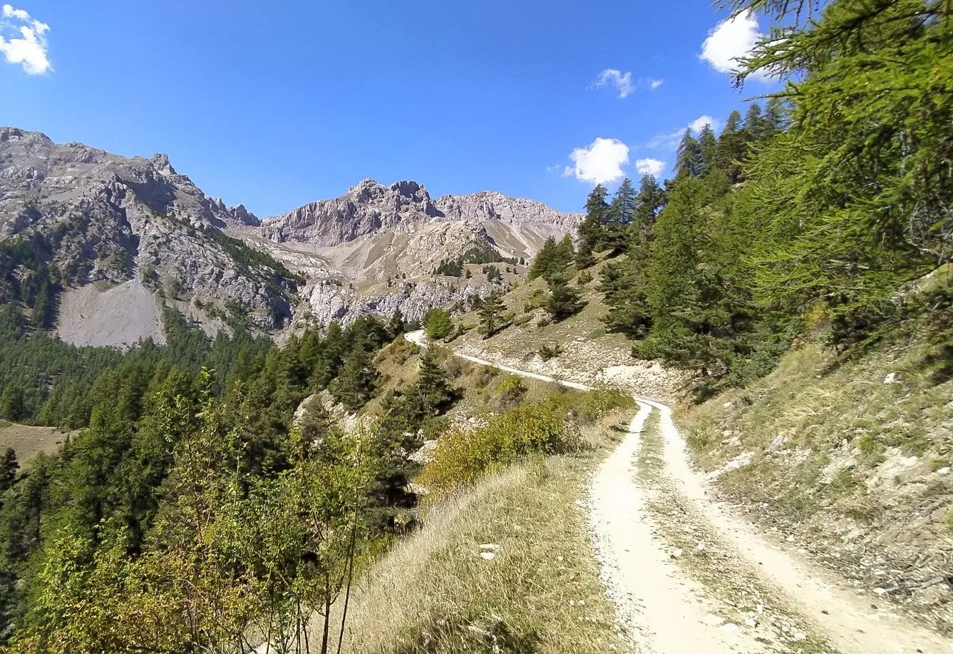
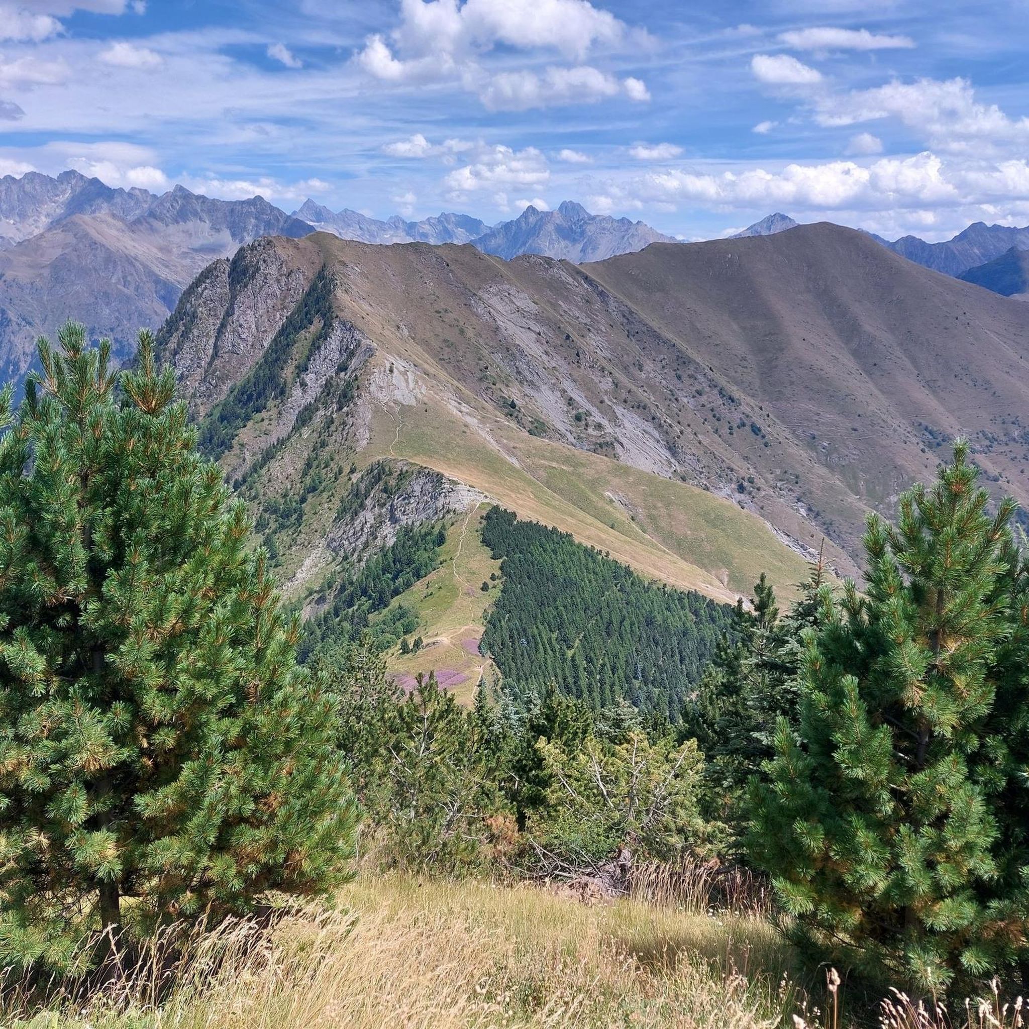
I added the SAMBY to avoid a round trip of the existing proposed hike in Visorando Departure in the Undergrowth by a forest track, it climbs well up to the Col du Plan Collet. on the left towards the CAVALE by the long ridge. on the right the SAMBY for the return by a path in the forest. nice view of the OBIOU, the triève, a superb view also of the summit of the Coiro in June, the flora is extraordinary the descent through the small valley all in bloom in JUNE really made you want to venture there I opted for a picnic at the edge of the small torrent using the ends of existing paths the path then is quite visible in the middle of the valley ps: as often by turning around from half of the valley we can clearly see the route when you reach the flat valley, you find old round walls and chamois the path is dotted from here on an old map to join the path of the climb continue the path skirting the hill and following the path sometimes clearly visible, sometimes it disappears some cairns still remain, I straightened them (the lilies of St Bruno dot the meadow) we join the path of the climb of the 1st stop we descend to the Col du Plan Collet
0
0

There are two sides to the Col d'Ornon. From La Paute, the climb is 11.2 km long with a total drop of 649 m. The average gradient is 5.8% with maximum gradients of 9%. From the Pont du Prêtre the climb is much longer. It is 21.9 km long with a total drop of 757 m. The average gradient is 3.2% with maximum gradients of 8%.
4
0

This pedestrian pass, located at 2,540 meters above sea level, acts as a belvedere to admire Lake Muzelle on one side and Lake Lauvitel on the other. The access to the pass is quite challenging with beautiful rocky and steep switchbacks. Be careful in case of rain. This crossing point of the GR 54 is essential.
0
0
Frequently Asked Questions
What are some of the most notable mountain passes in the broader region around Entraigues?
While Entraigues itself is known for local trails, the surrounding French Alps offer several remarkable mountain passes. Among these, Ornon Pass is popular for its two distinct climbing routes, and Vallon Pass, a pedestrian pass at 2,540 meters, offers stunning views of Lake Muzelle and Lake Lauvitel. Parquetout Pass is also well-regarded for its varied gradients, appealing to cyclists.
What kind of terrain and difficulty can I expect on mountain passes near Entraigues?
The mountain passes in the region offer a range of terrain and difficulty. For instance, Ornon Pass features moderate slopes and large serpentines from one side, making it a pleasant climb without extreme gradients. In contrast, the access to Vallon Pass is quite challenging, with rocky and steep switchbacks, especially requiring caution in wet conditions. Parquetout Pass has sections with very steep gradients, particularly from the Entraigues side.
Are there any pedestrian-only mountain passes or routes for hikers?
Yes, Vallon Pass is a notable pedestrian pass, located at 2,540 meters above sea level. It serves as an essential crossing point of the GR 54 and provides a magnificent belvedere to admire Lake Muzelle and Lake Lauvitel. The ascent is challenging with steep, rocky sections.
What are the best times to visit the mountain passes in the region?
The best time to visit mountain passes in the French Alps region, including those near Entraigues, is typically from late spring to early autumn (May to October). Passes like Col de la Cayolle are often closed for six months of the year due to snow, so checking road conditions before your trip is crucial. Summer offers the most reliable weather for cycling and hiking.
What natural features and viewpoints can I find at these mountain passes?
The mountain passes offer breathtaking natural features and panoramic viewpoints. Vallon Pass, for example, provides stunning views of Lake Muzelle and Lake Lauvitel. The route to Col de la Cayolle (a pass in the broader region) passes through crimson gorges and offers wilder landscapes. Many passes, like Col de la Bonette, are renowned for spectacular panoramic vistas from their summits.
Are there family-friendly mountain passes or routes suitable for beginners?
For those seeking less extreme challenges, the Ornon Pass offers a side with moderate slopes and large serpentines, making it a more accessible and pleasant climb. While some passes can be very steep, there are often routes or sections that are more lenient and suitable for those with less experience or families looking for a scenic drive or ride.
What outdoor activities can I do near these mountain passes?
The area around Entraigues and its mountain passes is excellent for various outdoor activities. You can find numerous cycling routes, including challenging climbs like the Col d'Ornon – Alpe d'Huez climb loop. There are also extensive MTB trails, such as the Parquetout Pass loop, and running trails like the Valbonnais Lake loop.
What do visitors enjoy most about the mountain passes in this region?
Visitors frequently praise the stunning scenery, quiet roads, and the sense of accomplishment from challenging climbs. The redesigned, wide sections of roads on passes like Col de la Bonette enhance the experience for both cyclists and drivers. The beautiful landscapes, often with very little traffic, make for serene and picturesque drives or rides, as highlighted by the komoot community who have shared many photos and upvotes for these passes.
Can I find less-known or 'hidden gem' mountain passes in the area?
Yes, beyond the most famous routes, the region offers some less-trafficked gems. For instance, Col de la Cayolle, while not directly in Entraigues, is a remarkable pass in the broader French Alps known for its quiet roads and wilder landscapes, passing through crimson gorges. For a more rugged experience, Col de la Moutière, an unpaved alpine pass, offers an off-the-beaten-path adventure.
Are there specific tips for cycling the mountain passes?
When cycling, consider the gradient and road surface. For Ornon Pass, the climb from La Paute is 11.2 km long with an average gradient of 5.8%. The climb via St Michel for Parquetout Pass is regular, but the other side features steeper sections and a winding, narrow road. Always be mindful of gravel on descents and check for traffic-calmed routes for a more enjoyable ride.
What are the elevation details for some of the passes?
The passes in the region vary significantly in elevation. Vallon Pass is a pedestrian pass located at 2,540 meters above sea level. Ornon Pass has a total drop of 649 meters from La Paute, with its highest point around 1,367 meters. In the broader French Alps, Col de la Bonette reaches an impressive 2,802 meters, making it one of Europe's highest paved roads.
Most popular attractions around Entraigues

Get inspired with the komoot mobile app


Explore more
See even more epic mountain passes by checking out these guides around Entraigues:
