The best walks and hikes around Chantelouve
4.6
(1958)
20,938
hikers
313
hikes
Hiking around Chantelouve offers a diverse range of experiences across varied terrain, from moderate paths to challenging alpine trails. The region is characterized by mountain peaks, serene lakes, and dense forests, providing a rich tapestry of natural features. Hikers can explore routes that ascend to panoramic viewpoints, traverse mountain passes, and wind through picturesque villages. Chantelouve's proximity to Écrins National Park further enhances its appeal as a destination for extensive outdoor exploration.
Best hiking trails around Chantelouve
- The most popular…
Last updated: July 1, 2026
5.0
(2)
67
hikers
8.77km
03:41
510m
500m
Hard hike. Good fitness required. Sure-footedness, sturdy shoes and alpine experience required.
5.0
(6)
33
hikers
10.7km
04:10
580m
580m
Hard hike. Good fitness required. Sure-footedness, sturdy shoes and alpine experience required.

Sign up for free
5.0
(4)
29
hikers
9.33km
03:53
600m
600m
Moderate hike. Good fitness required. Mostly accessible paths. Sure-footedness required.
5.0
(2)
21
hikers
7.03km
03:13
440m
440m
Moderate hike. Good fitness required. Mostly accessible paths. Sure-footedness required.
4.0
(1)
15
hikers
10.2km
04:33
650m
650m
Moderate hike. Good fitness required. Mostly accessible paths. Sure-footedness required.
Get access to more routes and recommendations from other explorers.
Sign up for free
Already have an account?
Our route recommendations are based on thousands of hikes, rides, and runs completed by other people on komoot.
Start today with a free account
Your next adventure awaits.
Login or Signup

Tips from the Community

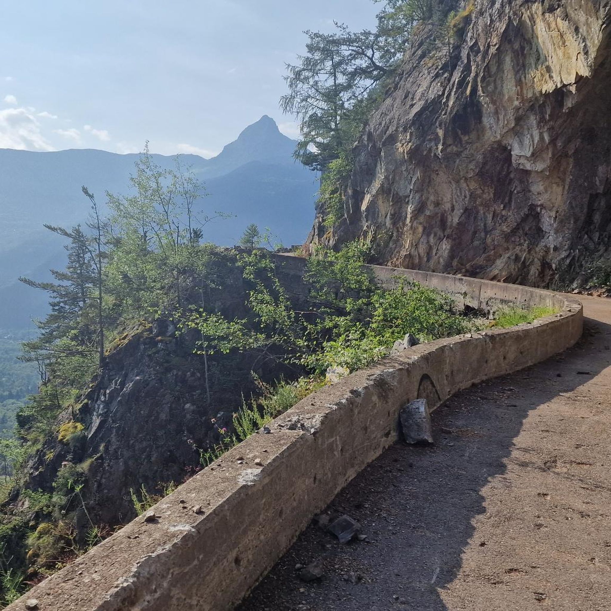
Pass above Villard-Reymond. Be careful, turn left just before entering the village! This officially listed but little-known pass offers a breathtaking view of the 21 bends of Alpe d'Huez!!! Not to be missed!
0
0

Beautiful trail on the top of the ridge with fantastic views of all the high peaks in the area.
0
0


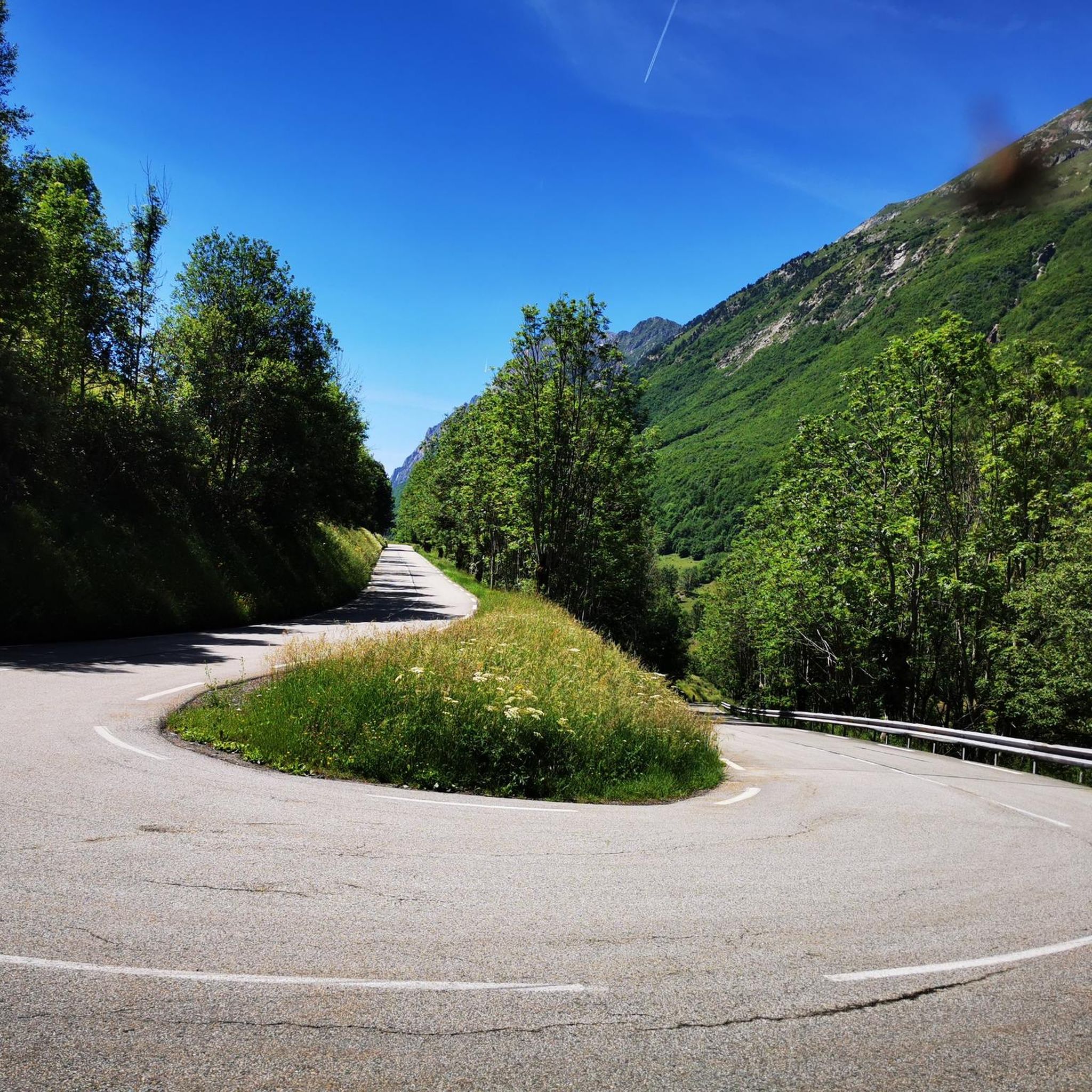
One of my favourite climbs in the area. There are four short unlit tunnels 1km out of Bourg on the start of the climb and they're quite poorly surfaced, especially the final one, so it's best to do this one with a decent set of lights. Lot of people stop and turn around at the village of Villard Notre Dam when the tarmac stops but if you keep going, I think the gravel section is the best bit - it's about 2.5km long to the top and it's do-able on a road bike - and if you're lucky you might see a marmot or two, especially if you ride it in the morning. Once you start to descend it's worth a detour to the cafe in Villard Reymond - the L'Eau Blanche.
0
0

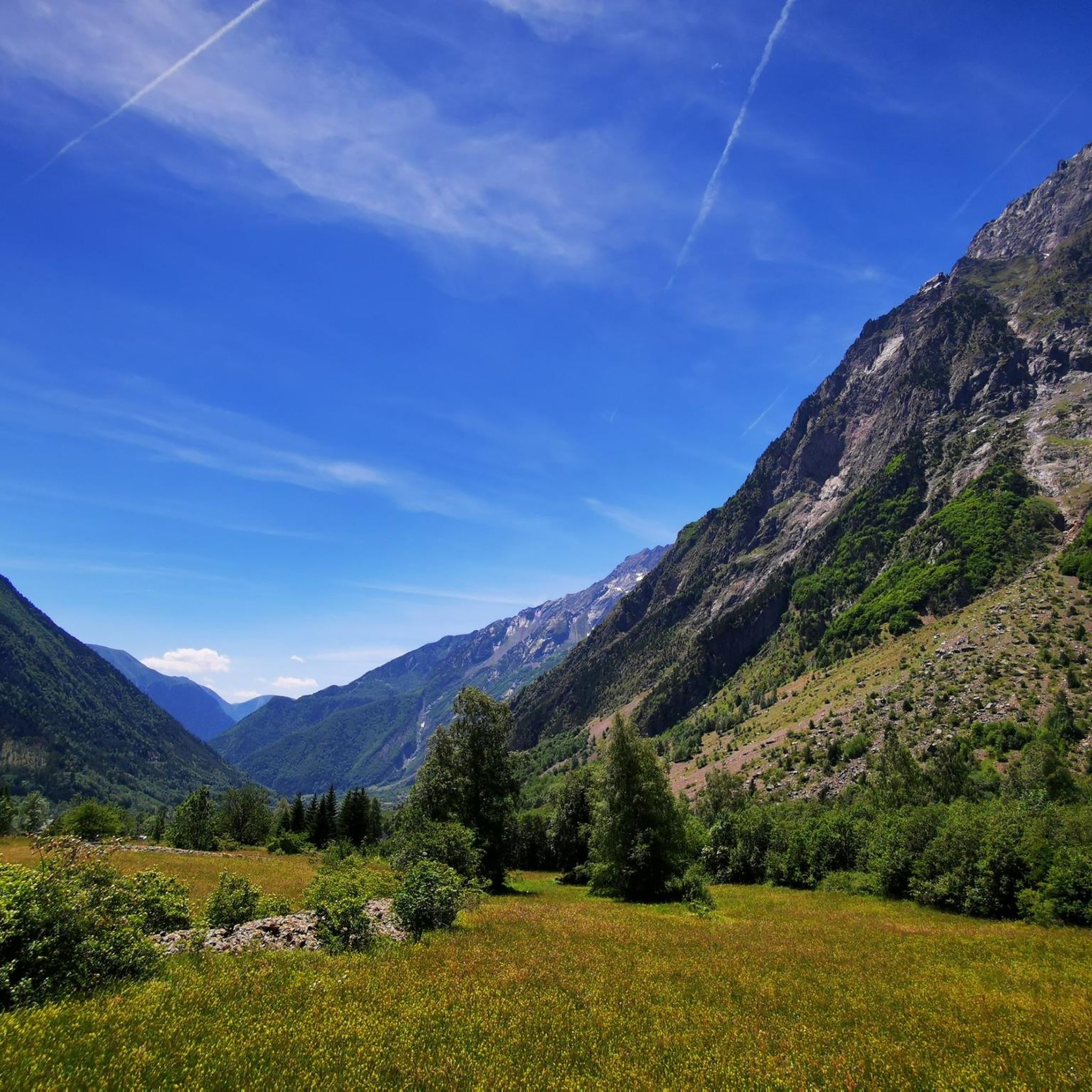
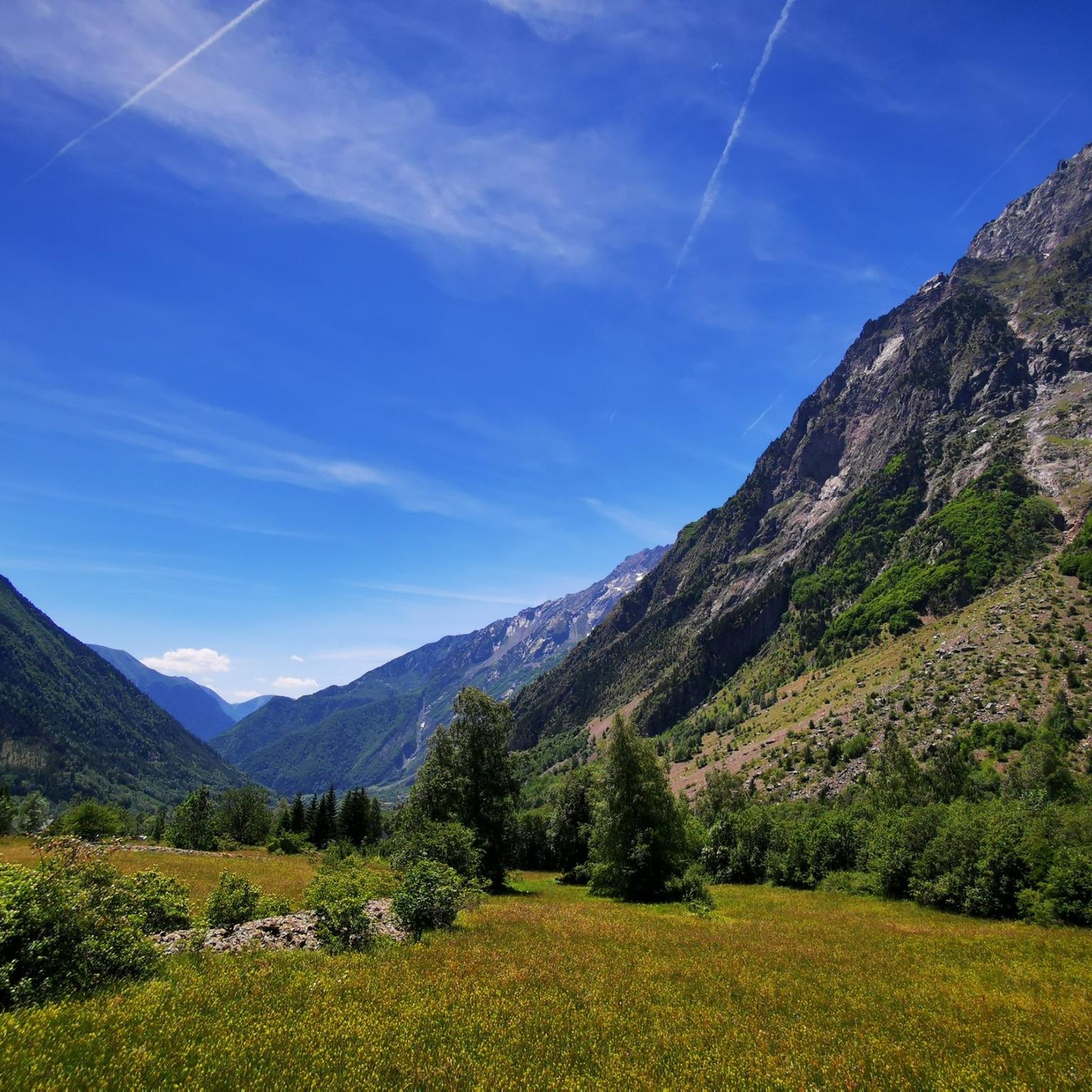
A vast green meadow, ideal for a snack break. A few beautiful trees offer cool shade.
0
0


Pass at the junction of the climb to the head of Louis XVI. View of the Taillefer and the Grand Renaud.
0
0

Villard-Reymond is the second highest village in France! It is 1620 meters above sea level. You will find a public fountain and a guesthouse there.
1
0
Frequently Asked Questions
What is the general difficulty of hiking trails around Chantelouve?
Chantelouve offers a wide spectrum of hiking difficulties. You'll find everything from moderate paths suitable for a good fitness level to hard, alpine-level treks that demand sure-footedness and sturdy shoes. The region features significant elevation gains, with trails varying from under 2 hours to over 5 hours in length.
Are there easier hiking options in Chantelouve?
Yes, among the over 300 hiking routes in Chantelouve, approximately 60 are classified as easy, and 128 as moderate. These trails provide accessible options for those looking for less strenuous walks while still enjoying the beautiful natural surroundings.
What natural features or landmarks can I expect to see while hiking in Chantelouve?
Hiking in Chantelouve allows you to discover diverse natural features. You can explore mountain peaks, serene lakes like Lake Lauvitel and Lake Muzelle, and dense forests. The region is also known for impressive mountain passes such as the Col de Corbière and the Col du Rochail, and specific water features like the Confolens Waterfall.
Are there any hikes that offer panoramic views?
Absolutely. Many trails lead to breathtaking panoramic viewpoints. For instance, the hike to Prégentil from Villard-Reymond offers a 360-degree vista of four alpine massifs: Taillefer, Belledonne, Grandes Rousses, and Écrins, showcasing peaks between 3000-4000m. You can also find stunning views like the View of Bourg d'Oisans Valley from Alpe d'Huez.
Can I find hikes that pass by lakes?
Yes, the region around Chantelouve is home to beautiful lakes that are often focal points for hiking routes. Lac du Vallon (Vallon Lake) is a notable attraction, and you can also find trails near Lake Fourchu and Buclet pond.
What is the best time of year to go hiking in Chantelouve?
The best time for hiking in Chantelouve is generally from late spring to early autumn (May to October), when the weather is milder and trails are clear of snow. During these months, you can fully enjoy the diverse landscapes, from forests to high mountain settings. Some higher altitude trails may still have snow early in the season.
Is public transport available to reach hiking trailheads in Chantelouve?
While Chantelouve is a more secluded area, public transport options to specific trailheads might be limited. It's generally recommended to have a car for greater flexibility in accessing the various starting points for hikes. Always check local transport schedules if you plan to rely on public services.
Is parking available at trailheads in Chantelouve?
Many popular trailheads in and around Chantelouve, especially those near villages like Villard-Reymond or Col d'Ornon, typically offer designated parking areas. However, during peak season, these can fill up quickly. It's advisable to arrive early, particularly for well-known routes.
Do I need a permit to hike in Chantelouve or Écrins National Park?
Generally, you do not need a permit for day hikes in the Chantelouve area. However, as Chantelouve is near the Écrins National Park, specific regulations apply within the park boundaries, especially for multi-day treks or bivouacking. Always check the official Écrins National Park website for the latest rules and any permit requirements for specific activities.
Are there family-friendly hiking trails in Chantelouve?
Yes, Chantelouve offers trails suitable for families. While many routes involve significant elevation, there are easier paths that can be enjoyed by children and those looking for a more relaxed pace. Look for routes with shorter distances and less steep ascents, often found closer to villages or lower elevations.
Are there dog-friendly trails in Chantelouve?
Many trails in the Chantelouve region are dog-friendly, allowing you to enjoy the outdoors with your canine companion. However, if you plan to hike within the Écrins National Park, specific rules apply regarding dogs, often requiring them to be on a leash or restricting access to certain zones. Always check local signage and park regulations.
What do other hikers enjoy the most about hiking in Chantelouve?
The area is highly rated by the komoot community, with an average score of 4.6 stars from over 1800 reviews. Hikers often praise the diverse terrain, from challenging alpine trails to serene forest paths, and the stunning panoramic views of the surrounding massifs. The variety of routes catering to all skill levels is also a frequently highlighted positive aspect.
Are there any circular hiking routes in Chantelouve?
Yes, Chantelouve features several excellent circular hiking routes. For example, the Croix du Carrelet – Villard-Reymond Village loop from Villard-Reymond is a popular option, offering varied elevation changes and scenic views. Another great choice is the Col de Corbière – Louis XVI's Head loop from Col d'Ornon, which takes you through mountain passes and forested sections.
Can I find multi-day hiking opportunities near Chantelouve?
Chantelouve's proximity to the Écrins National Park makes it an excellent base for multi-day treks. The
Can I find multi-day hiking opportunities near Chantelouve?
Chantelouve's proximity to the Écrins National Park makes it an excellent base for multi-day treks. The
Most popular routes around Chantelouve
Most popular attractions around Chantelouve

Get inspired with the komoot mobile app


Explore more
Browse the best Hikes in other regions.
