The best running trails around Sainte-Anne-Sur-Gervonde
4.5
(66)
1,820
runners
290
runs
Jogging around Sainte-Anne-Sur-Gervonde offers routes through the serene natural landscapes of the Isère department in the Auvergne Rhône-Alpes region. The area is characterized by the picturesque Gervonde valley, featuring ponds and accessible trails. From various vantage points, such as the Beausoleil site, runners can experience panoramic views of the Alps and Jura mountains. The terrain includes rolling hills and diverse natural features, providing varied running experiences.
Best jogging routes around Sainte-Anne-Sur-Gervonde
- The most popular jogging route is Running loop from…
Last updated: July 1, 2026
6
runners
8.65km
00:54
80m
80m
Moderate run. Good fitness required. Mostly paved surfaces. Suitable for all skill levels.
5
runners
10.3km
01:05
110m
110m
Moderate run. Good fitness required. Mostly paved surfaces. Suitable for all skill levels.

Sign up for free
5
runners
5.24km
00:34
60m
60m
Moderate run. Good fitness required. Mostly paved surfaces. Suitable for all skill levels.
4
runners
16.5km
01:56
210m
210m
Hard run. Very good fitness required. Mostly paved surfaces. Suitable for all skill levels.
5.0
(1)
7
runners
12.0km
01:27
170m
170m
Moderate run. Good fitness required. Mostly paved surfaces. Suitable for all skill levels.
Get access to more routes and recommendations from other explorers.
Sign up for free
Already have an account?
Our route recommendations are based on thousands of hikes, rides, and runs completed by other people on komoot.
Start today with a free account
Your next adventure awaits.
Login or Signup


Frequently Asked Questions
How many running routes are available in Sainte-Anne-sur-Gervonde?
There are over 270 running routes around Sainte-Anne-sur-Gervonde. The majority are moderate, with 229 routes, while 13 are easy and 37 are more difficult, offering options for various fitness levels.
What do other runners enjoy about the trails in Sainte-Anne-sur-Gervonde?
The running paths in Sainte-Anne-sur-Gervonde are highly rated by the komoot community, with an average score of 4.6 stars from over 60 reviews. More than 1700 runners have explored the varied terrain, often praising the serene natural landscapes, tranquil ponds, and scenic views of distant mountains.
Are there easy jogging routes suitable for beginners in Sainte-Anne-sur-Gervonde?
Yes, Sainte-Anne-sur-Gervonde offers 13 easy running routes perfect for beginners or those looking for a gentle jog. These routes typically feature minimal elevation gain and pleasant scenery.
Can I find circular running routes in the Sainte-Anne-sur-Gervonde area?
Many of the running routes in the region are circular, allowing you to start and finish at the same point. For example, the Running loop from Sainte-Anne-sur-Gervonde is a popular 8.9 km circular trail that takes about 55 minutes to complete.
Are there running paths with scenic views of the mountains?
Absolutely. The region offers stunning panoramic views of the majestic Alps and Jura mountains from various vantage points. The 'St Anne sur Gervonde: La Haute Gervonde' circuit, for instance, provides excellent views from sites like Beausoleil and La Croix-Saint-Marc.
Are there running routes that pass by ponds or water features?
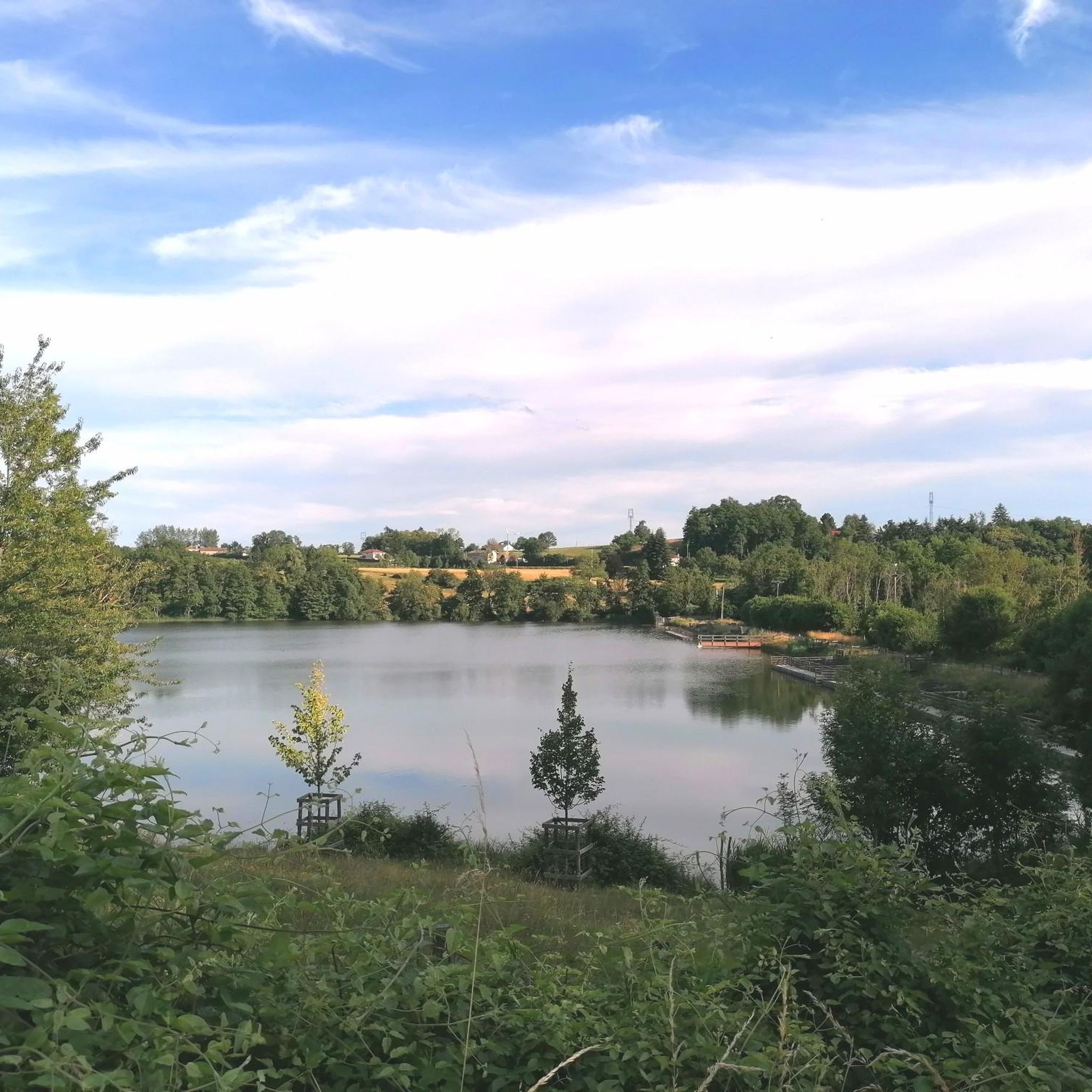
Yes, several routes incorporate beautiful water features. The Gervonde valley is known for its picturesque ponds, such as Champ-Bussin and Bideau. You can also explore the Étang de la Roche – Bois de la Garenne loop from Meyrieu-les-Étangs, which leads through woodlands and past tranquil ponds.
What interesting landmarks or attractions can I see near the running trails?
While jogging, you might encounter historical sites and natural beauty. Notable attractions in the vicinity include Bonnevaux Castle, the Orientation table at the summit of Chèzeneuve offering great views, and Arzay Castle. There are also several serene ponds like Montjoux Pond.
Are there any longer or more challenging running routes for experienced runners?
For experienced runners seeking a greater challenge, there are 37 difficult routes available. One such option is the Etang Pouyat – Grand Étang Garant loop from Châtonnay, a 16.4 km trail with significant elevation gain, perfect for a longer, more demanding run.
Are the running trails in Sainte-Anne-sur-Gervonde suitable for families?
Many of the easier and moderate routes are suitable for families, offering pleasant and safe environments for a run or walk. The gentle terrain and scenic beauty make for an enjoyable outdoor experience for all ages. Consider shorter, less strenuous loops like the Running loop from Châtonnay, which is 5.2 km.
What kind of terrain can I expect on the jogging routes?
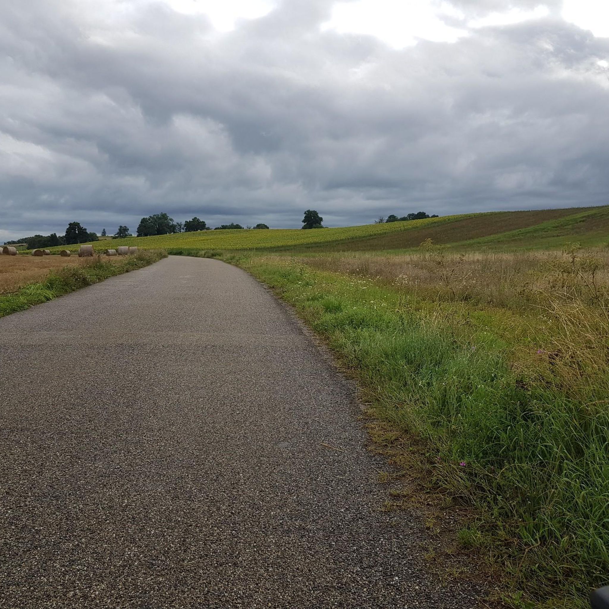
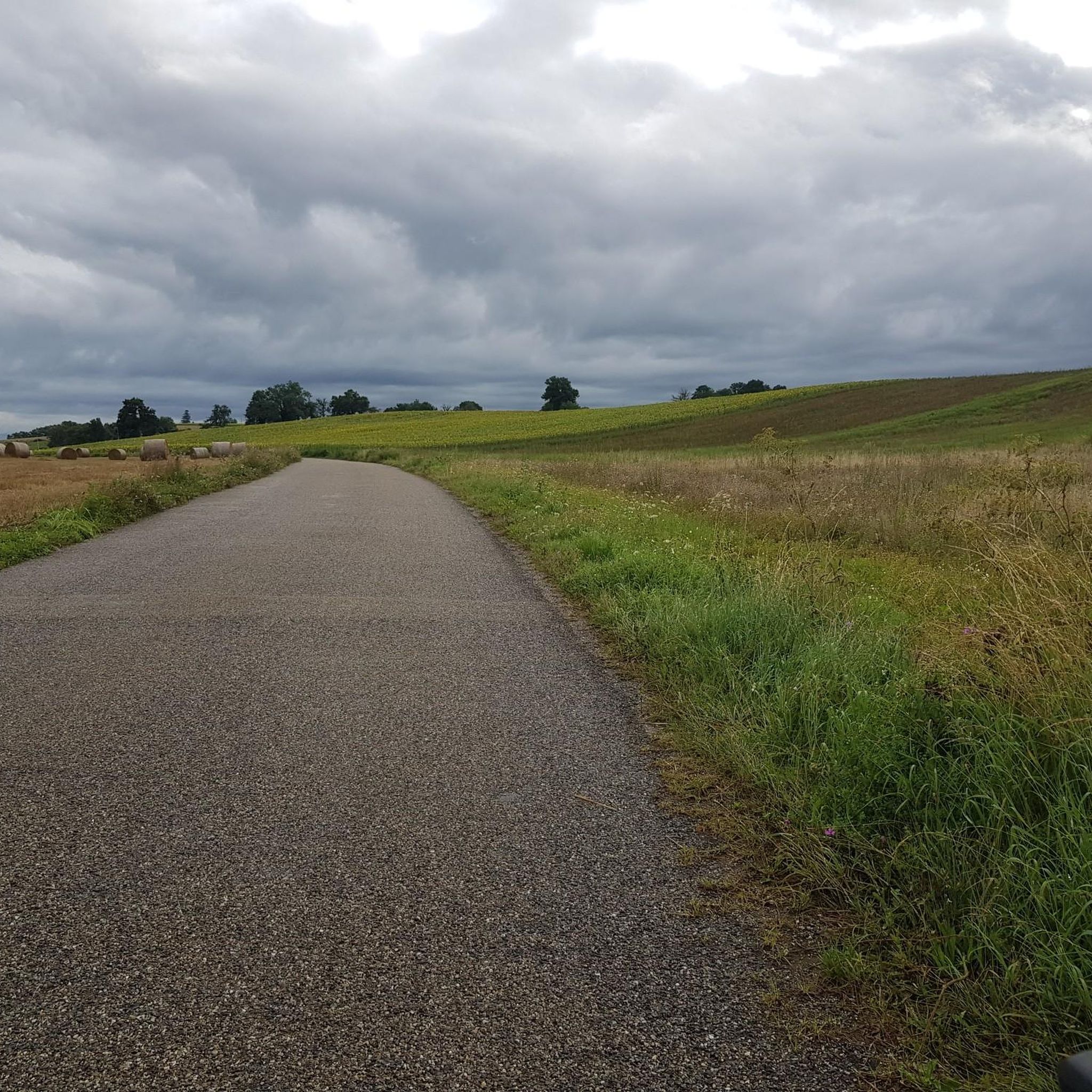
The terrain around Sainte-Anne-sur-Gervonde is diverse, characterized by rolling hills, the picturesque Gervonde valley, and woodlands. You'll find a mix of paths, from well-maintained trails to more natural surfaces, with gentle elevation changes and occasional moderate climbs, providing varied running experiences.
Are there any running routes that are particularly good for a quick workout?
If you're looking for a shorter, quicker run, the Running loop from Châtonnay is a great option. This 5.2 km trail can typically be completed in about 30 minutes, offering a refreshing workout through the local countryside.
Are there running routes that explore different types of natural environments?
Yes, the region's diverse natural treasures include rolling hills, valleys, and woodlands. Routes like the Petit Étang Garant – Étang Roux loop from Châtonnay offer a mix of landscapes, allowing you to experience different facets of the local environment during your run.
Most popular routes around Sainte-Anne-Sur-Gervonde
Most popular attractions around Sainte-Anne-Sur-Gervonde

Get inspired with the komoot mobile app


Explore more
Browse the best Running Trails & Routes in other regions.
