The best road cycling routes around Urtière
4.4
(53)
1,780
riders
69
rides
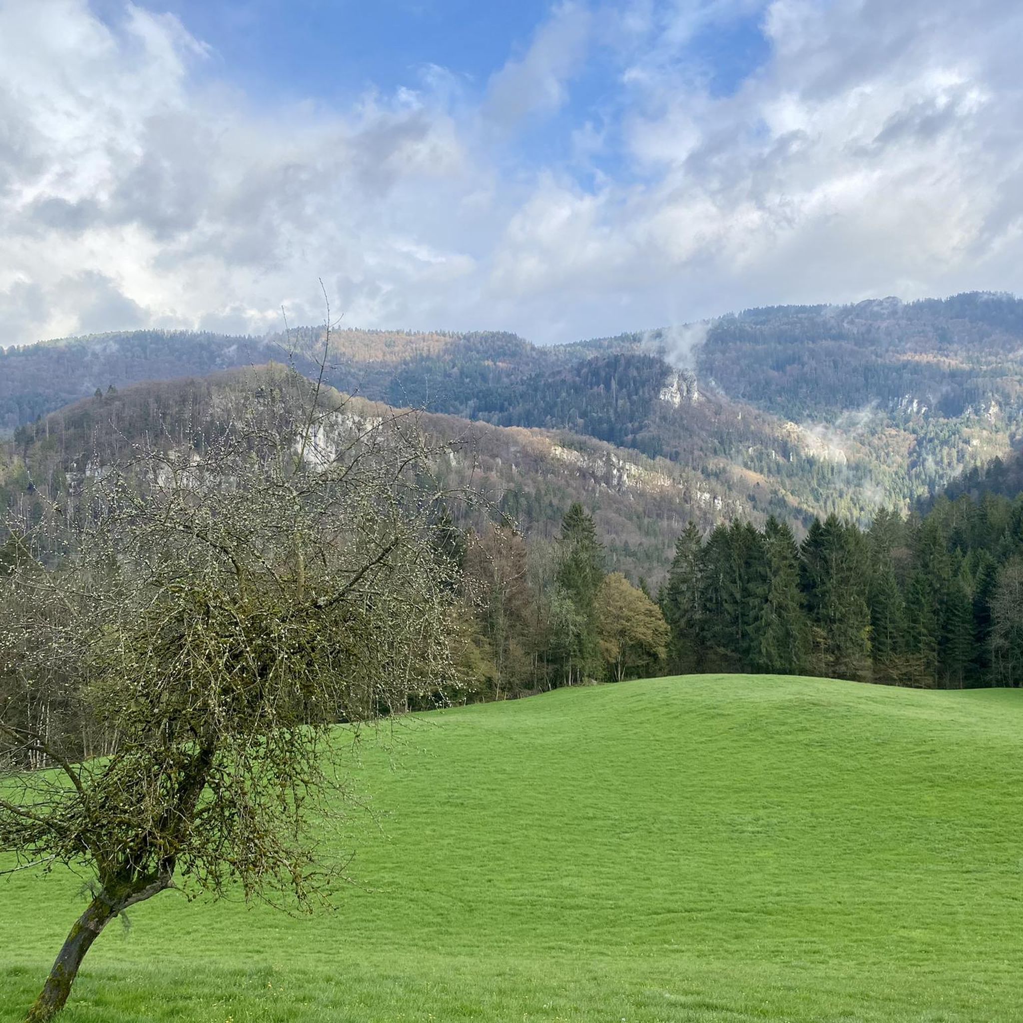
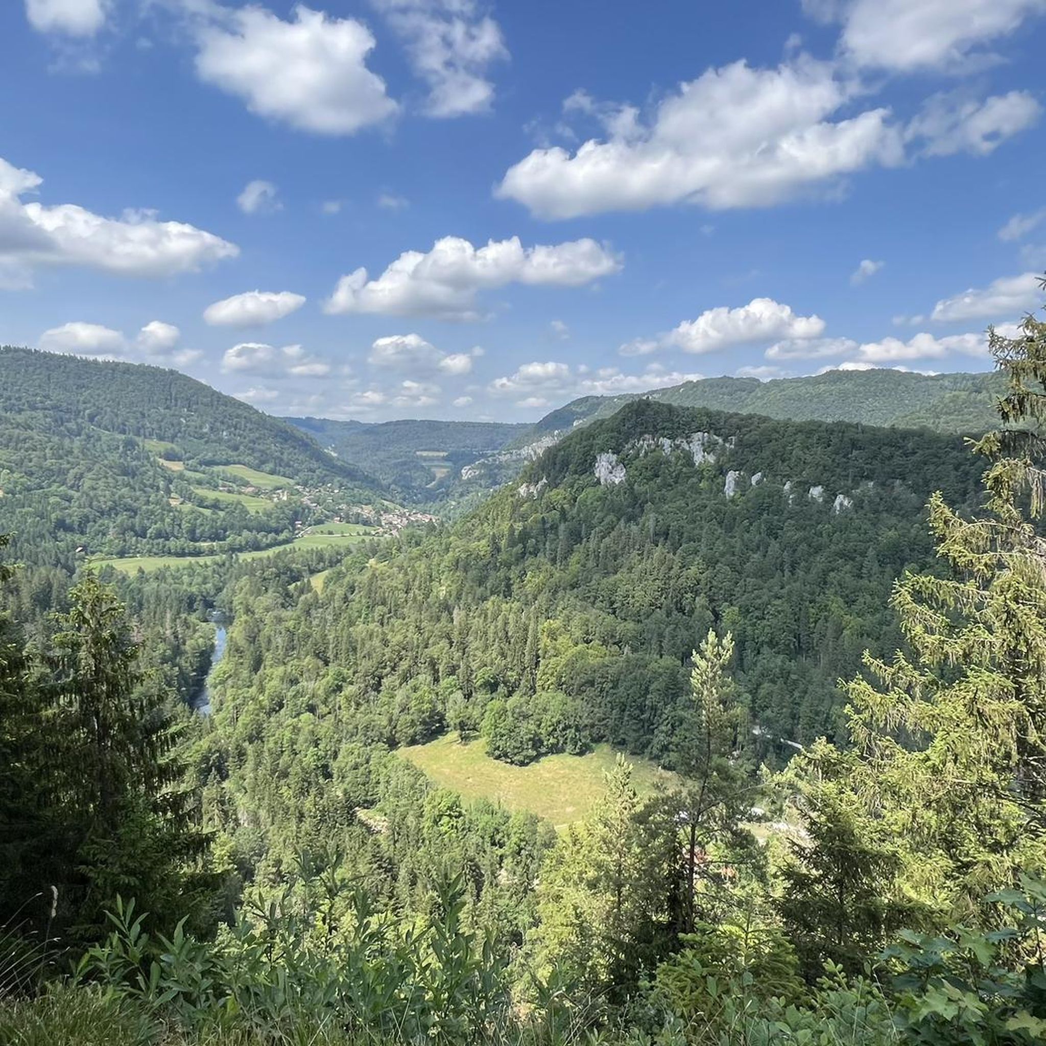
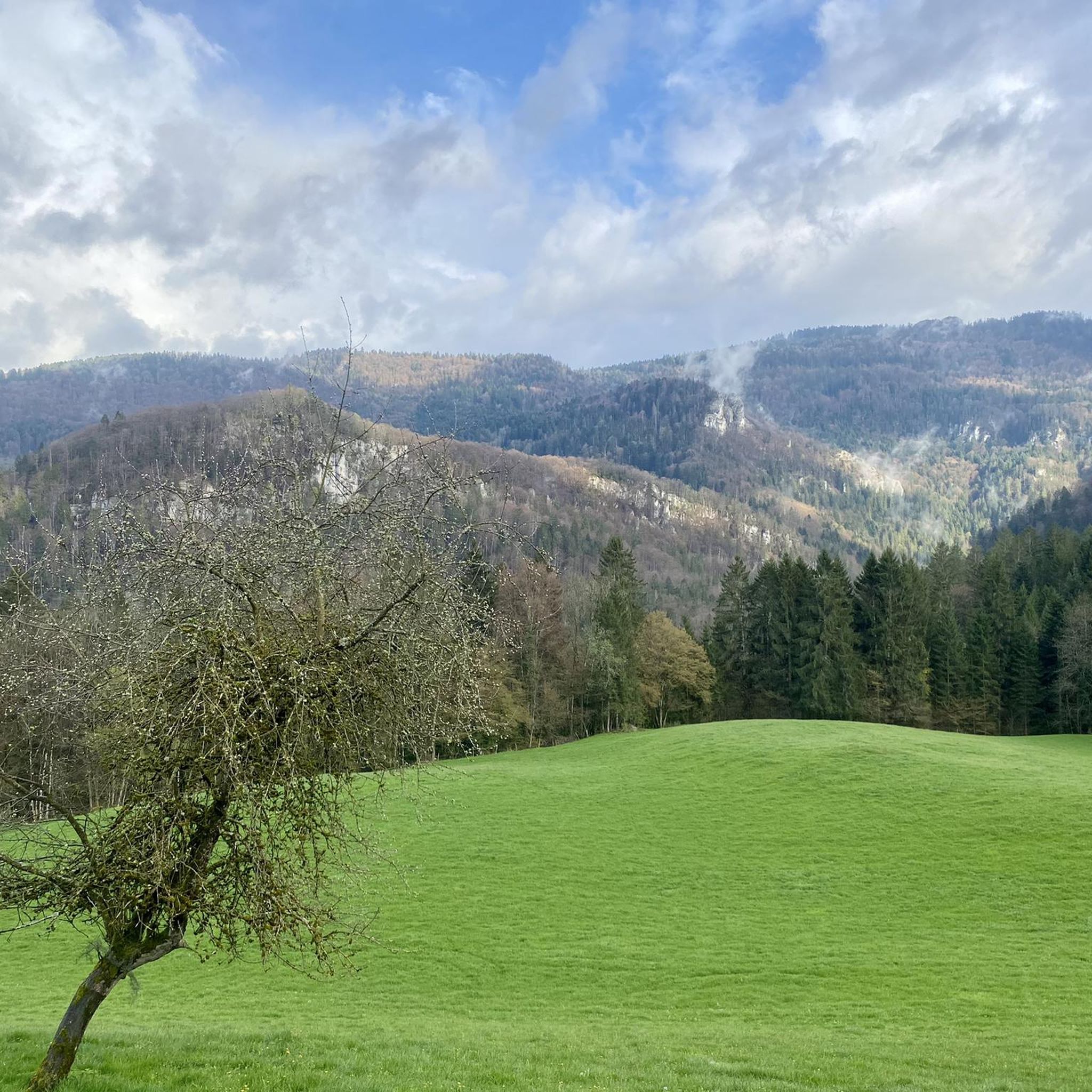
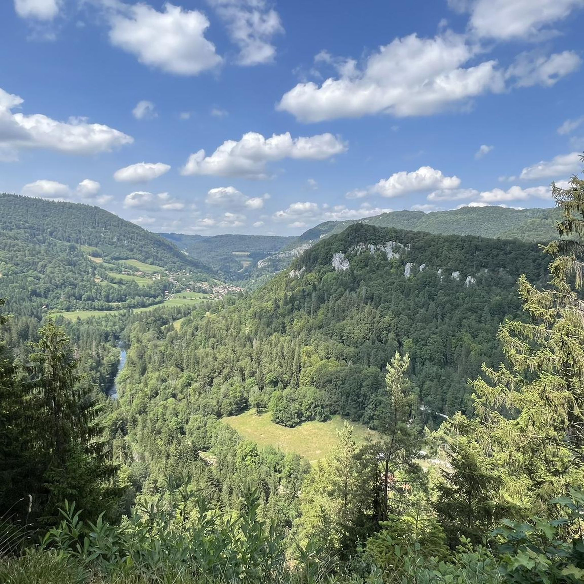
Road cycling routes around Urtière, a commune in the Doubs department of eastern France, offer varied terrain within a mountainous climate. The region features a mix of ascents and descents, with many routes utilizing mostly paved surfaces. Cyclists can navigate through scenic gorges and valleys, characteristic of the broader Montagnes du Jura area. This landscape provides diverse experiences for road cyclists of varying skill levels.
Best road cycling routes around Urtière
- The most popular road cycling route is La Corniche…
Last updated: July 8, 2026
3.0
(1)
33
riders
30.5km
01:49
680m
680m
Moderate road ride. Good fitness required. Mostly well-paved surfaces and easy to ride.
5.0
(4)
73
riders
76.2km
04:13
1,500m
1,500m
Hard road ride. Very good fitness required. Mostly well-paved surfaces and easy to ride.

Sign up for free
4.6
(5)
87
riders
Hard road ride. Very good fitness required. Mostly well-paved surfaces and easy to ride.
5.0
(1)
69
riders
67.1km
03:19
830m
830m
Moderate road ride. Good fitness required. Mostly well-paved surfaces and easy to ride.
4.0
(2)
92
riders
54.9km
02:34
560m
560m
Moderate road ride. Good fitness required. Mostly well-paved surfaces and easy to ride.
Get access to more routes and recommendations from other explorers.
Sign up for free
Already have an account?
Our route recommendations are based on thousands of hikes, rides, and runs completed by other people on komoot.
Start today with a free account
Your next adventure awaits.
Login or Signup

Tips from the Community

Located on the outskirts of Saignelégier, going in, try some of their magnificent brews which have won awards from all of the world. This oasis of drink and food provides great refreshment for tire legs which have been pedaling or hiking all day.
0
0
The last small hill to climb before reaching sagnelégier and the magnificent well-known brewery Brasserie Franches Montages which seems to a magnet for cyclists traveling in the area. A fresh cold beer awaits you there.
0
0
The cycling path from Tramelan to Saignelégier is on both separate cycleways and on the main highway. The asphalted surface on the roads and cycleways to Saignelégier are ih excellent condition.
0
0
Road 248 has a lot of heavy traffic on it going into Tramelan, so if Tramelan is your destination, you will have to tolerate heavy traffic for 2km. After Tramelan, the traffic seems to disappear. As a conciliation prize, the asphalted road is very smooth with no rough spots.
1
0
Road 1392 is a great way to avoid the heavy traffic into Tramelan on a very smooth surface with little traffic, however this road intersects with road 248 into Tramelan which is a very busy route with a lot of traffic. No way to avoid road 248, if you are riding into Tramelan, you will have to put up with the heavy traffic for 2 km until you enter Tramelan.
0
0
Once reaching the top of the climb, there is life after the climb at the BFM (Brasserie Franche Montagne). This small but magnificent brewery has won many accolades worldwide wide for their beers. It is great to sit out on the terrace of the brewery on a hot summer‘s day, sit back, enjoy a nice cold beer „Alex le Rouge“ which will not only quench your thirst but pump some life back into your tired legs.
0
0

In Roman times, the Jura was crossed through the Schüss gorge north of the small town of Studen/Petinesca, or what is now Biel. Parts of this ancient road were excavated by the Archaeological Service of the Canton of Bern. The Roman Jura transversal was examined at various points during the construction work on the A16 national road between Biel and Tavannes in 1992 and 1994. Parts of the Roman road that are accessible today are at the so-called Martinsklafter in Péry, in the Tournedos field in Sonceboz or at the Pierre-Pertuis in the municipality of Tavannes. The latter is a natural opening in the rock that was used as a road passage in Roman times and was provided with an inscription
1
0
Frequently Asked Questions
How many road cycling routes are available around Urtière?
There are over 70 road cycling routes around Urtière, offering a wide range of options for different skill levels. This includes 7 easy routes, 37 moderate routes, and 28 difficult routes, ensuring there's something for everyone.
What kind of terrain can I expect on road cycling routes near Urtière?
The road cycling routes near Urtière are characterized by mountainous terrain, featuring a mix of ascents and descents. You'll find mostly paved surfaces, traversing scenic gorges and valleys, typical of the broader Montagnes du Jura area. This diverse landscape provides engaging experiences for road cyclists.
What is the best time of year for road cycling in Urtière?
Urtière experiences a mountain climate. The best time for road cycling is generally during the warmer months, from late spring to early autumn, when roads are clear of snow and ice, and temperatures are most favorable for outdoor activities. Always check local weather forecasts before heading out.
Are there challenging road cycling routes for experienced cyclists?
Yes, Urtière offers several challenging routes for experienced cyclists. For instance, the Goumois Corniche – La Rasse Bridge over the Doubs River loop from Le Noirmont is a difficult 47.3-mile (76.2 km) path with substantial climbing. Another demanding option is the Peu-Péquignot Inn – La Rasse Bridge over the Doubs River loop from Muriaux, covering 36.2 miles (58.3 km) with significant elevation changes.
Are there circular road cycling routes in Urtière?
Many of the road cycling routes around Urtière are designed as loops, allowing you to start and finish at the same point. An example is La Corniche de Goumois — Loop from Damprichard, a 18.9-mile (30.5 km) trail that offers a challenging circular ride through the local landscape.
What natural features can I see along road cycling routes near Urtière?
The region boasts dramatic natural beauty. You can encounter stunning gorges like The Ladders of Death and Combe de Biaufond, as well as the serene Étang de la Gruère lake. Some routes also pass by waterfalls, such as the Bief Waterfall, offering picturesque views.
Are there any historical landmarks to explore while cycling in Urtière?
While Urtière is a small commune, it holds historical interest. You can find the Chapelle Saint-Ursin, a small chapel with local significance. Additionally, the ruins of an old castle are situated on a spectacular rocky promontory in front of the chapel, offering a glimpse into the region's past and impressive views, especially when trees are bare.
Is parking available near road cycling routes in Urtière?
While specific parking areas for each route are not detailed, many routes often start from nearby towns like Damprichard or Le Noirmont. These towns typically offer public parking facilities, which can serve as convenient starting points for your cycling adventures.
Can I reach road cycling routes in Urtière using public transport?
Information on specific public transport links for bikes directly to Urtière's route starting points is limited. However, the region is part of the broader Bourgogne-Franche-Comté, and larger towns in the Doubs department may offer public transport options that could get you closer to the cycling areas. It's advisable to check regional transport services for routes that accommodate bicycles.
Are there cafes or places to stop for refreshments along the routes?
While specific cafes on every route are not listed, many road cycling routes in the Urtière area traverse through or near small villages and towns. These locations often provide opportunities to find local cafes, bakeries, or small shops where you can stop for refreshments and breaks.
What do other cyclists say about road cycling in Urtière?
The road cycling routes around Urtière are highly rated by the komoot community, with an average score of 4.4 stars from over 50 reviews. Cyclists often praise the varied terrain, the scenic gorges and valleys, and the mix of ascents and descents that provide diverse experiences. Over 1,800 road cyclists have used komoot to explore the area's unique landscape.
Are there family-friendly road cycling routes in Urtière?
While Urtière's terrain is generally mountainous, there are 7 easy routes available that might be suitable for families or those seeking a less strenuous ride. These routes typically feature less elevation gain and shorter distances, providing a more relaxed cycling experience.
Most popular attractions around Urtière

Get inspired with the komoot mobile app


Explore more
Browse the best Road cycling routes in other regions.
