The best walks and hikes around Courpalay
4.4
(134)
654
hikers
67
hikes
Hiking around Courpalay reveals a landscape characterized by gentle rolling terrain and a network of paths often leading through rural areas and past historical sites. The region features a mix of open fields, small woodlands, and waterways, providing varied scenery for outdoor activities. Elevation changes are generally modest, making many routes accessible for different fitness levels.
Best hiking trails around Courpalay
- The most popular hiking route is Village of La Chapelle-Iger – Moulin de Gastins loop from La Chapelle-Iger,…
Last updated: September 1, 2026
4.4
(12)
19
hikers
12.0km
03:08
90m
90m
Moderate hike. Good fitness required. Easily-accessible paths. Suitable for all skill levels.
5.0
(1)
14
hikers
Moderate hike. Good fitness required. Easily-accessible paths. Suitable for all skill levels.

Sign up for free
5.0
(1)
7
hikers
17.6km
04:34
110m
110m
Moderate hike. Good fitness required. Easily-accessible paths. Suitable for all skill levels.
6
hikers
11.3km
02:56
70m
70m
Moderate hike. Good fitness required. Easily-accessible paths. Suitable for all skill levels.
8
hikers
19.1km
05:00
140m
140m
Hard hike. Very good fitness required. Easily-accessible paths. Suitable for all skill levels.
Get access to more routes and recommendations from other explorers.
Sign up for free
Already have an account?
Our route recommendations are based on thousands of hikes, rides, and runs completed by other people on komoot.
Start today with a free account
Your next adventure awaits.
Login or Signup

Tips from the Community

Super Moulin Choix in Gastins which can be visited from Spring.
0
0

Hall with picnic area, old abbey with visible bell, washhouse and footbath from the 19th century.
0
0

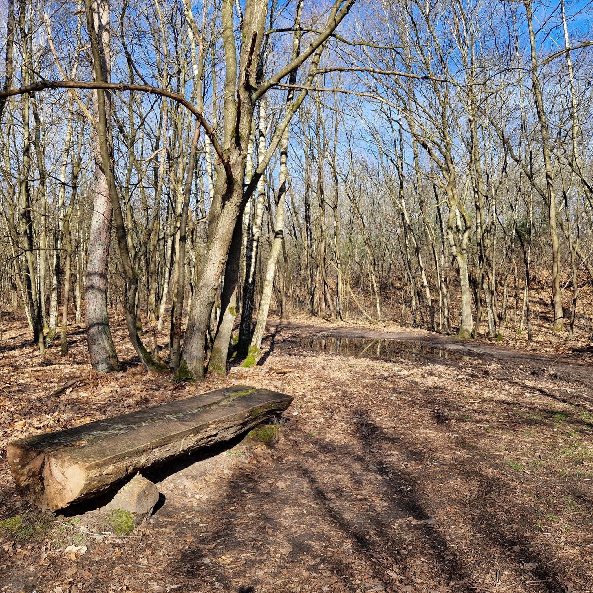
Nice spot for a break in the forest
0
0

The church of Verneuil was built in the 19th century. The town of Verneuil is otherwise mainly surrounded by fields, with significant agricultural activity.
1
0
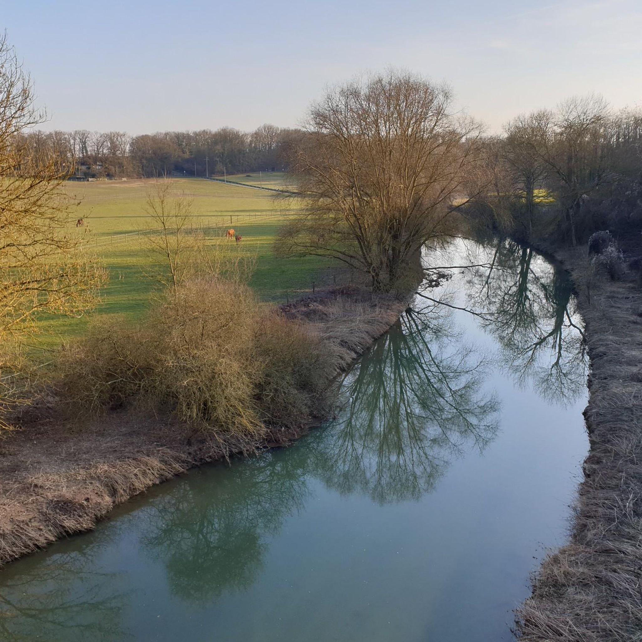
Beautiful view of the Yerres valley and the village of Chaumes-en-Brie
0
0

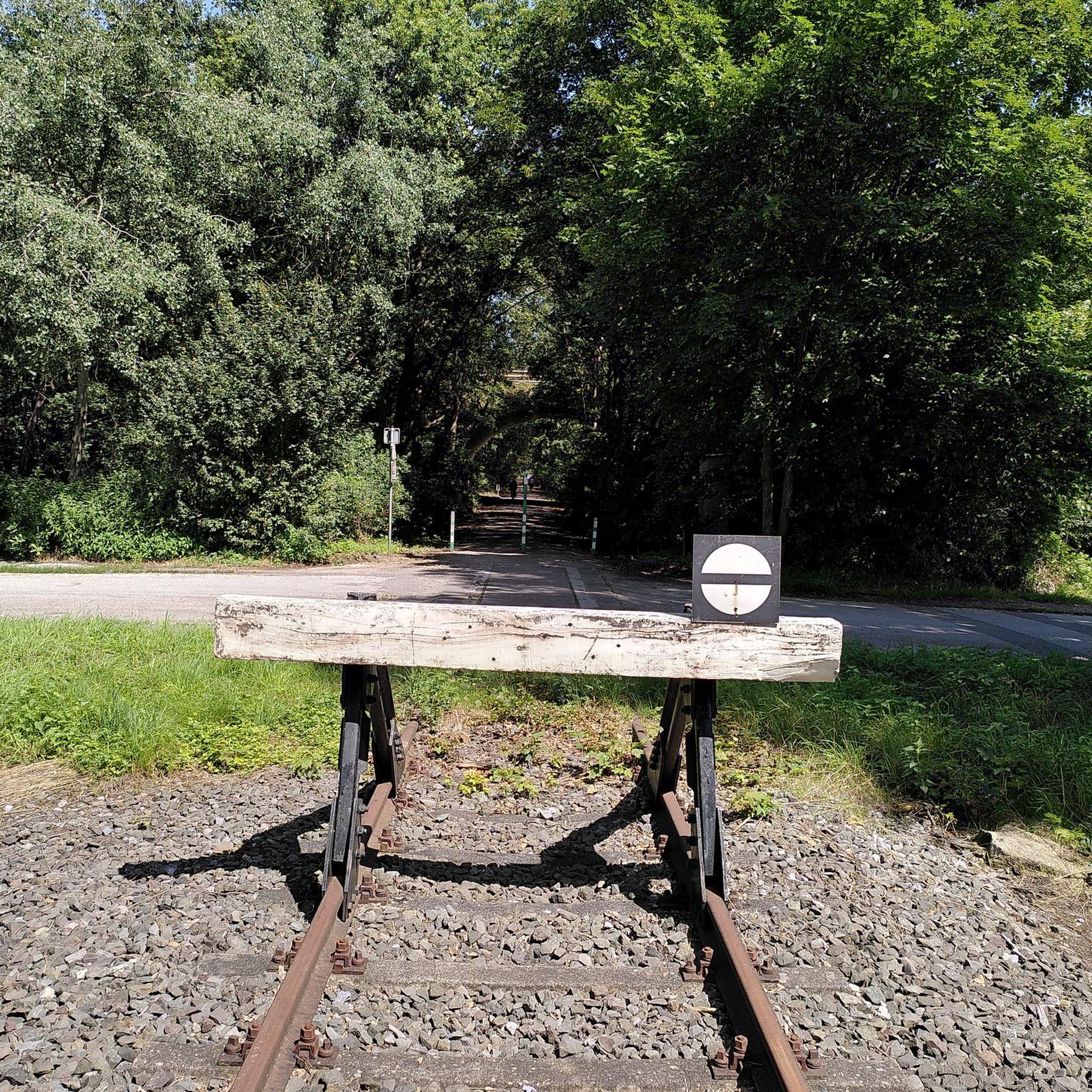
After Verneuil-l'Étang station, the Bastille line (Chemin des Roses) for military and strategic reasons was extended to Marles-en-Brie, to connect with that of Coulommiers. It served the stations of Chaumes-en-Brie and Fontenay-Trésigny. In order to span the Yerres river, a majestic viaduct was built. At the beginning of the 1970s, the line was decommissioned, then removed. A hiking trail has been laid out in its location, and takes the viaduct, which offers us a superb panorama of the town of Chaumes.
1
0
Frequently Asked Questions
How many hiking trails are available around Courpalay?
There are over 60 hiking trails around Courpalay, offering a diverse range of options for different preferences and fitness levels. These include easy strolls, moderate loops, and some more challenging long-distance routes.
What is the general difficulty level of hikes in Courpalay?
The hiking trails around Courpalay are generally characterized by gentle rolling terrain and modest elevation changes. The majority of routes are classified as moderate (over 40 trails), with a good selection of easy paths (around 18) and a few more difficult options for experienced hikers.
Are there any circular hiking routes near Courpalay?
Yes, many of the trails around Courpalay are circular. For instance, the Village of La Chapelle-Iger – Moulin de Gastins loop from La Chapelle-Iger is a popular moderate loop. Another option is the Moulin de Pompierre loop from Courpalay, which offers views of the rural landscape.
What kind of scenery can I expect on the hiking trails?
Hiking around Courpalay reveals a landscape characterized by a mix of open fields, small woodlands, and waterways. You'll often pass through rural areas and by historical sites, providing varied scenery throughout your walk.
Are there any family-friendly hiking options in Courpalay?
Given the generally modest elevation changes and the presence of easy trails, many routes around Courpalay are suitable for families. Look for the 'easy' classified routes on komoot for the most family-friendly options.
What do other hikers enjoy most about the trails in Courpalay?
The komoot community rates the trails highly, with an average score of 4.3 stars from over 100 reviews. Hikers often praise the varied scenery, the accessibility of routes due to modest elevation, and the opportunity to explore rural areas and historical sites.
Are there any interesting landmarks or attractions to see while hiking near Courpalay?
Yes, the region features several points of interest. You can explore historical sites like the Château du Vivier or the Château de Bombon. The Le Moulin Choix de Gastins is also a notable spot along some routes.
What is the typical length and duration of hikes in Courpalay?
Hikes vary in length and duration. For example, the Village of La Chapelle-Iger – Moulin de Gastins loop is about 8.4 miles (13.6 km) and takes around 3 hours 33 minutes. Longer routes like the La Grange Bléneau Castle loop from Bernay-Vilbert can be up to 11.9 miles (19.1 km) and take about 5 hours.
Are there any routes that pass by the Moulin de Pompierre?
Yes, the Moulin de Pompierre loop from Courpalay is a popular moderate route that specifically features the Moulin de Pompierre. Another option is the Moulin de Pompierre loop from Courtomer.
What is the best season for hiking around Courpalay?
The gentle terrain and mixed landscapes of Courpalay make it suitable for hiking across multiple seasons. Spring and autumn offer pleasant temperatures and vibrant scenery, while summer can be enjoyable, especially in wooded areas. Winter hikes are also possible, though conditions may vary.
Are there any trails that explore castles or historical estates?
Yes, some trails lead past historical sites. The La Grange Bléneau Castle loop from Bernay-Vilbert is one such route that takes you through varied terrain, often including views of the castle. You can also find the La Grange Bléneau Castle loop from Courpalay.
Most popular attractions around Courpalay

Get inspired with the komoot mobile app


Explore more
Browse the best Hikes in other regions.
