The best cycling routes around Moydans
4.6
(71)
724
riders
49
rides
Touring cycling around Moydans offers routes through the Eygues Valley and into the surrounding hills. The region is characterized by varied terrain, including valley loops and ascents to mountain passes like the Col des Tourette. Routes often pass through historical areas and rural landscapes.
Best touring cycling routes around Moydans
- The most popular touring cycling route is Rosans and Saint-André-de-Rosans – loop in the Eygues Valley, a 15.2 miles (24.4 km) trail that takes 1 hour 39 minutes to…
Last updated: August 18, 2026
5.0
(4)
15
riders
24.4km
01:39
390m
390m
Moderate bike ride. Good fitness required. Mostly paved surfaces. Suitable for all skill levels.
5
riders
Moderate bike ride. Good fitness required. Mostly paved surfaces. Suitable for all skill levels.

Sign up for free
4.7
(7)
96
riders
66.0km
04:17
900m
900m
Hard bike ride. Very good fitness required. Mostly paved surfaces. Suitable for all skill levels.
5.0
(1)
35
riders
66.7km
04:45
1,380m
1,370m
Hard bike ride. Very good fitness required. Mostly paved surfaces. Suitable for all skill levels.
4.0
(4)
30
riders
39.0km
02:36
620m
620m
Hard bike ride. Very good fitness required. Mostly paved surfaces. Suitable for all skill levels.
Get access to more routes and recommendations from other explorers.
Sign up for free
Already have an account?
Our route recommendations are based on thousands of hikes, rides, and runs completed by other people on komoot.
Start today with a free account
Your next adventure awaits.
Login or Signup
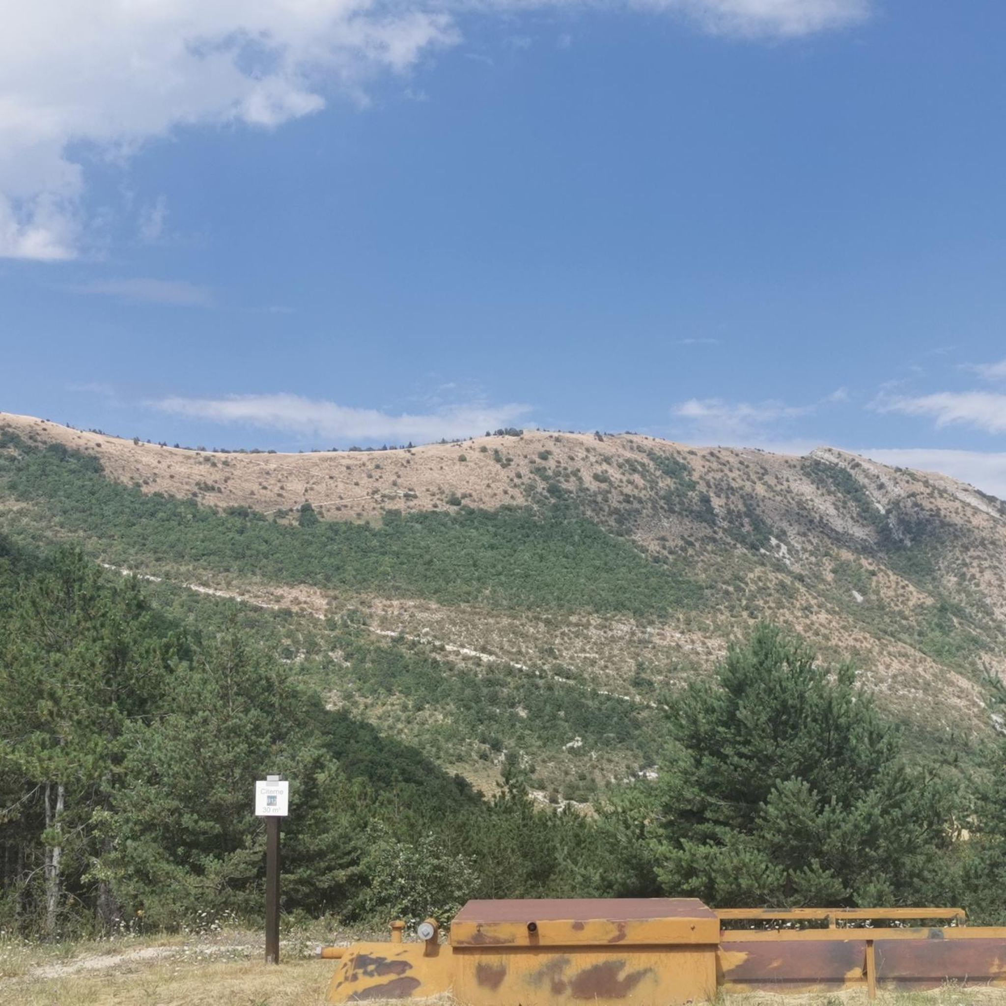
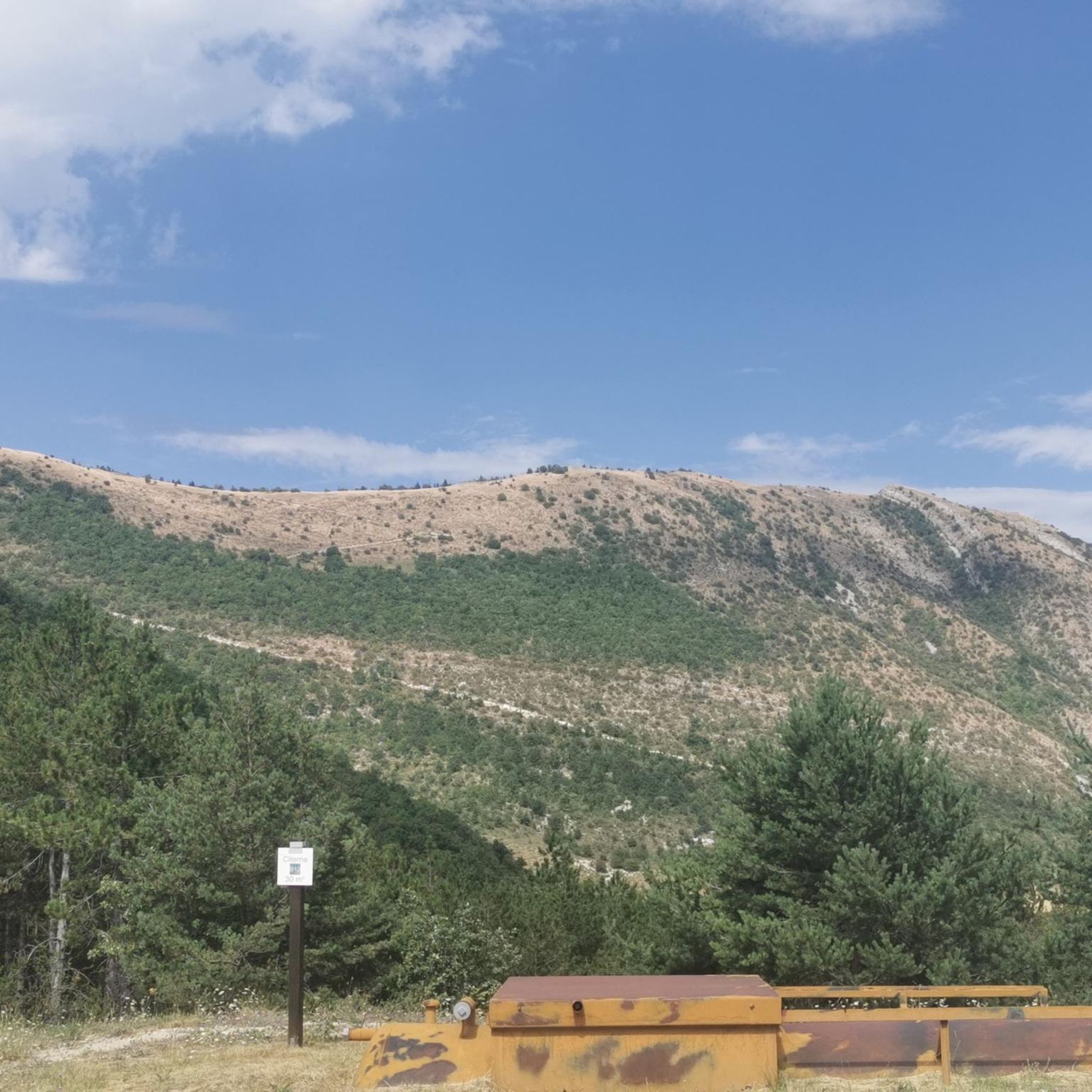
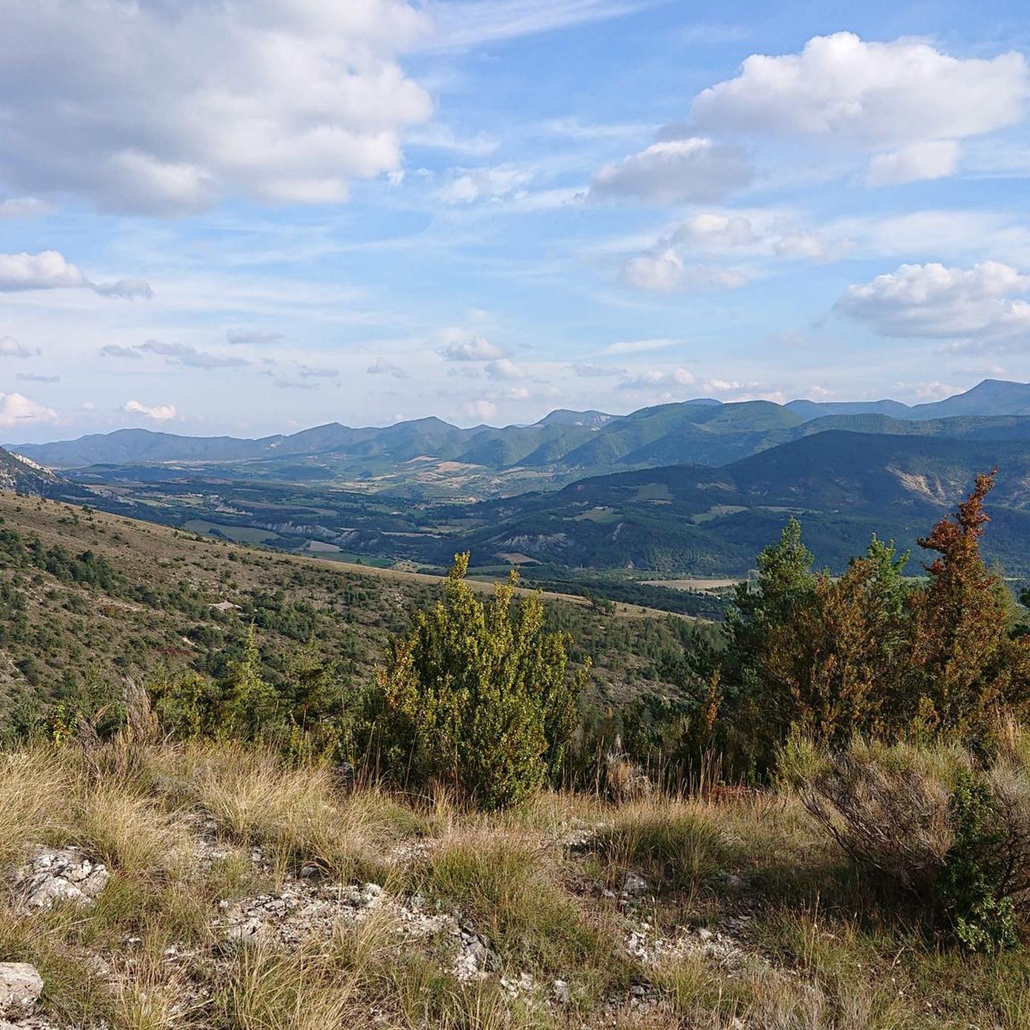
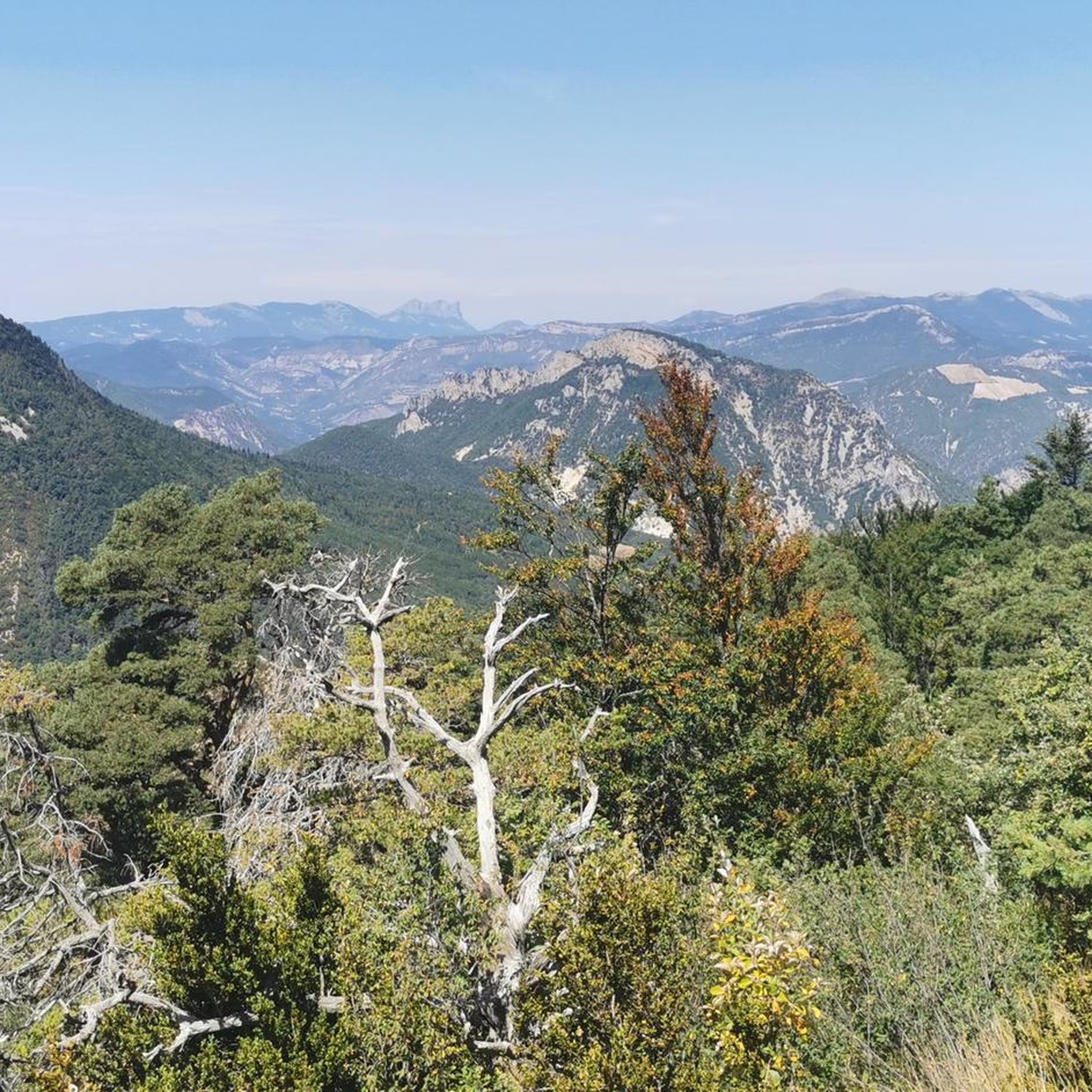
Tips from the Community

The ascent to Col de la Fromagère / Col de Pommerol from Rosans is located in the Hautes-Alpes region. This ascent is 6.6 km long, with a total elevation gain of 371 m. The average gradient of the ascent to Col de la Fromagère / Col de Pommerol from Rosans is 5.6%.
5
0
Very easy climb, the gradients never exceed 6%.
4
0
Not a very demanding climb. Asphalt in excellent condition.
5
0
The Col de Pommerol is a climb located in the Hautes Alpes region. It has a length of 6.6 km, an elevation gain of 371 m, and an average gradient of 5.6%.
3
0
The Col du Reychasset is a pass located at an altitude of 1,052 m, in the Drôme department, within the Parc naturel régional des Baronnies provençales. It connects the Armalause valley with the Céans valley, between the municipalities of Chauvac-Laux-Montaux and Villebois-les-Pins.
10
0
Frequently Asked Questions
How many touring cycling routes are available around Moydans?
There are over 40 touring cycling routes available around Moydans, catering to various skill levels. The region offers a diverse network of paths through the Eygues Valley and into the surrounding hills.
Are there any easy touring cycling routes suitable for beginners in Moydans?
While the majority of routes in Moydans are moderate to difficult, there are options that can be considered more accessible. For instance, routes exploring the Eygues Valley, like the Rosans and Saint-André-de-Rosans – loop in the Eygues Valley, offer moderate terrain without extreme ascents, making them suitable for those with some cycling experience.
What kind of terrain can I expect on touring cycling routes in Moydans?
The terrain around Moydans is varied. You'll find routes that follow the gentle slopes of the Eygues Valley, as well as more challenging ascents to mountain passes like the Col des Tourette (1126 m). The landscape often features rural areas and connects medieval villages.
Are there any circular touring cycling routes in Moydans?
Yes, many of the touring cycling routes in Moydans are designed as loops, allowing you to start and end in the same location. Examples include the Saint-André-de-Rosans, Sorbiers et Montjay – loop in the Vallée de l'Eygues and the longer Medieval village of Rosans – Col des Tourette (1126 m) loop from Rosans.
What are some notable landmarks or attractions I can see along the touring cycling routes?
Cycling routes often pass through or near historical areas and natural features. You might encounter charming settlements like Rosans, or pass by mountain passes such as Col de la Saulce (877 m). Some routes also offer views of significant peaks like Montagne de Raton.
What do other touring cyclists say about the routes in Moydans?
The touring cycling routes in Moydans are highly regarded by the komoot community, with an average rating of 4.7 stars from over 50 reviews. Cyclists often praise the varied terrain, the scenic beauty of the Eygues Valley, and the challenge of the mountain passes.
Are there any routes that offer significant viewpoints?
Absolutely. Routes that ascend to mountain passes, such as those incorporating the Col des Tourette (1126 m) or Col de Rossas, typically provide expansive views of the surrounding valleys and mountains. The higher elevations offer excellent panoramic vistas.
What is the typical length and duration of touring cycling routes in Moydans?
Route lengths vary significantly. Moderate routes in the Eygues Valley can be around 14-15 miles (22-24 km) and take about 1.5 to 2 hours. More difficult routes, often involving mountain passes, can extend to 40 miles (60-70 km) or more, requiring 4 to 5 hours or longer to complete, such as the La Motte-Chalancon – Col des Tourette (1126 m) loop from Rosans.
Are there any family-friendly touring cycling options in Moydans?
For families, routes with less elevation gain and on quieter roads are generally preferred. While specific 'easy' routes are limited, the moderate valley loops, like the Rosans and Saint-André-de-Rosans loop, could be suitable for families with older children or those accustomed to cycling, given their moderate difficulty.
Can I find routes that connect different medieval villages?
Yes, the touring cycling network around Moydans often features paths that link various medieval villages. This allows cyclists to experience the historical charm of the region while enjoying their ride. The Saint-André-de-Rosans – Medieval village of Rosans loop from Rosans is a good example of a route connecting such settlements.
What is the best time of year for touring cycling in Moydans?
The spring and autumn months generally offer the most pleasant conditions for touring cycling in Moydans, with milder temperatures and beautiful scenery. Summer can be warm, especially in the valleys, while winter may bring colder temperatures and potential snow at higher elevations, making some mountain pass routes less accessible.
Most popular attractions around Moydans

Get inspired with the komoot mobile app


Explore more
Browse the best Cycling routes in other regions.
