The best road cycling routes around Orpierre
4.6
(153)
3,173
riders
11
rides
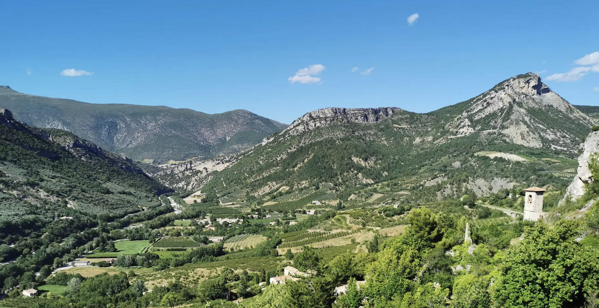
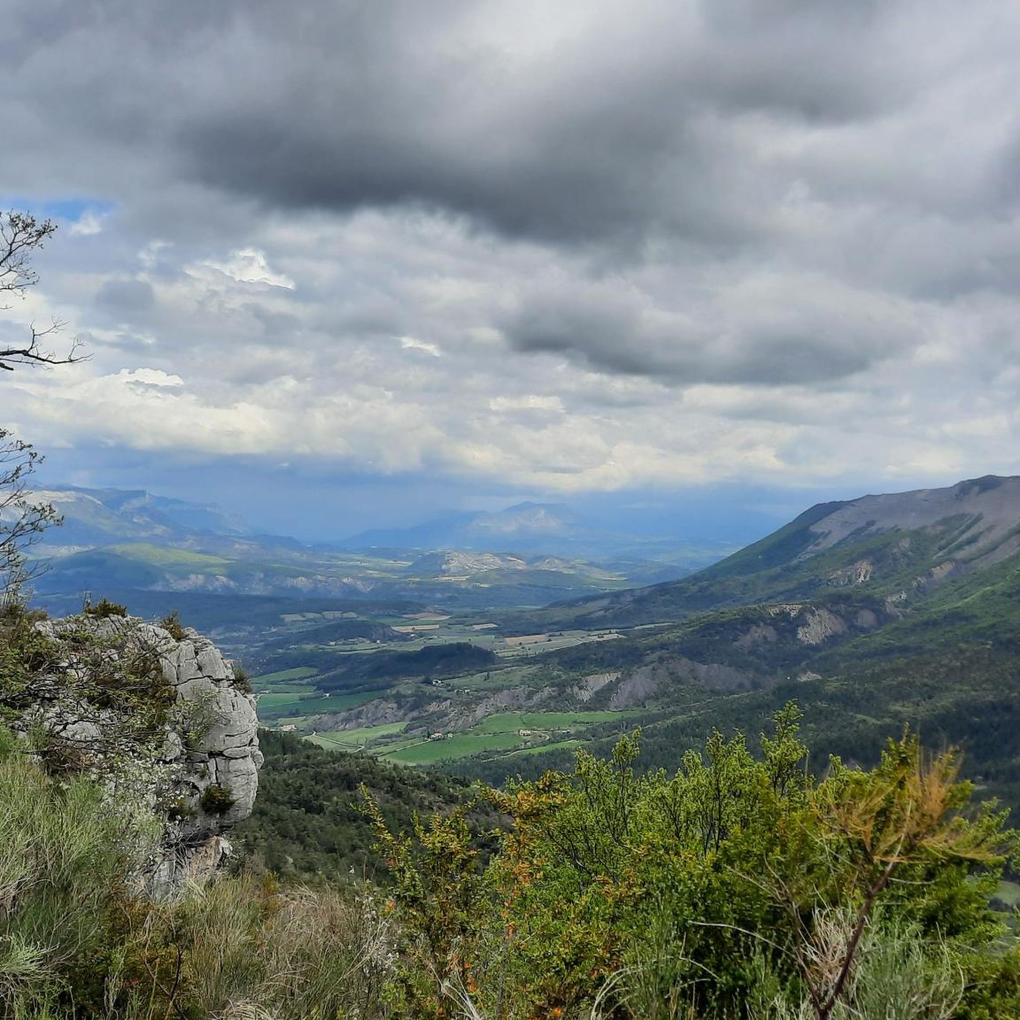
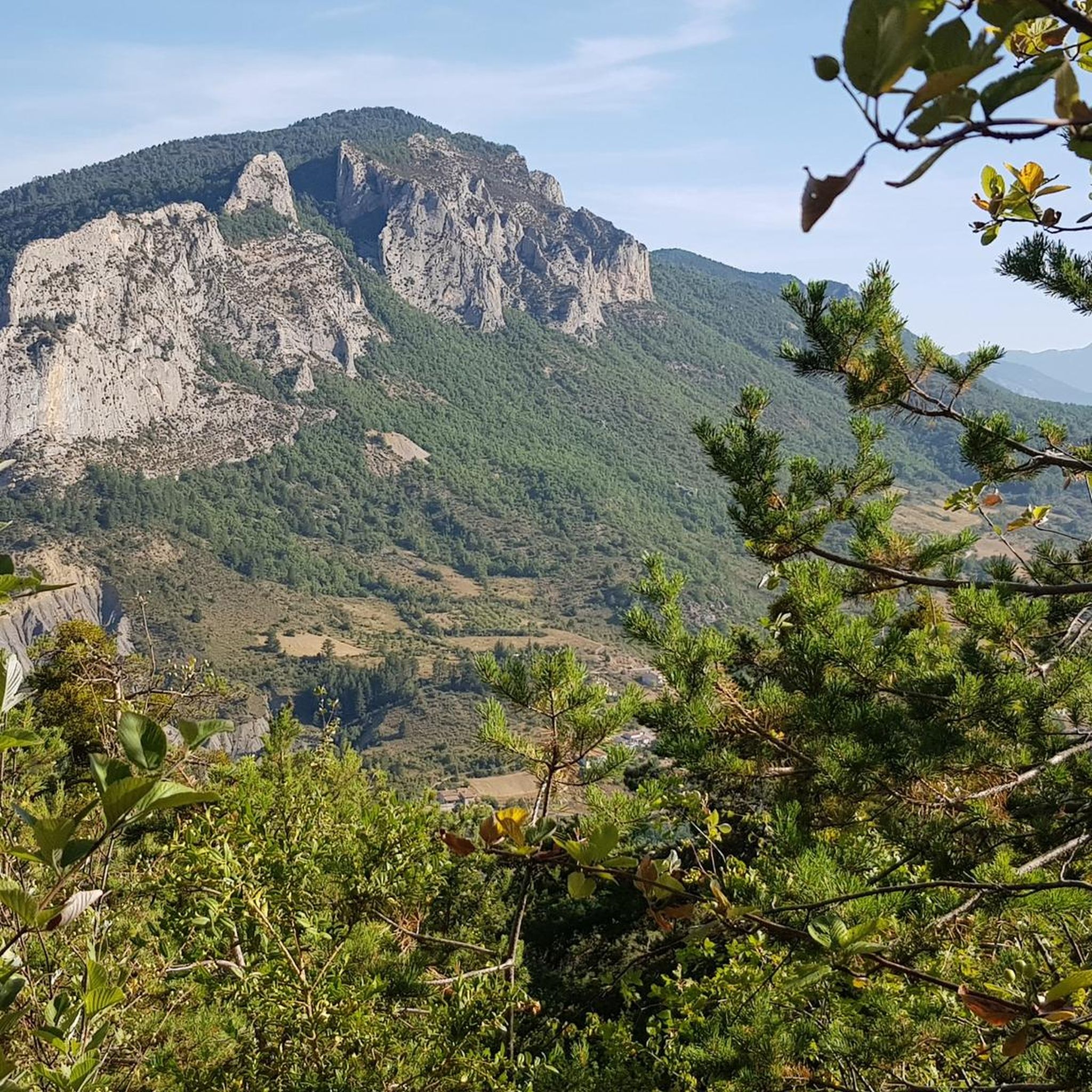
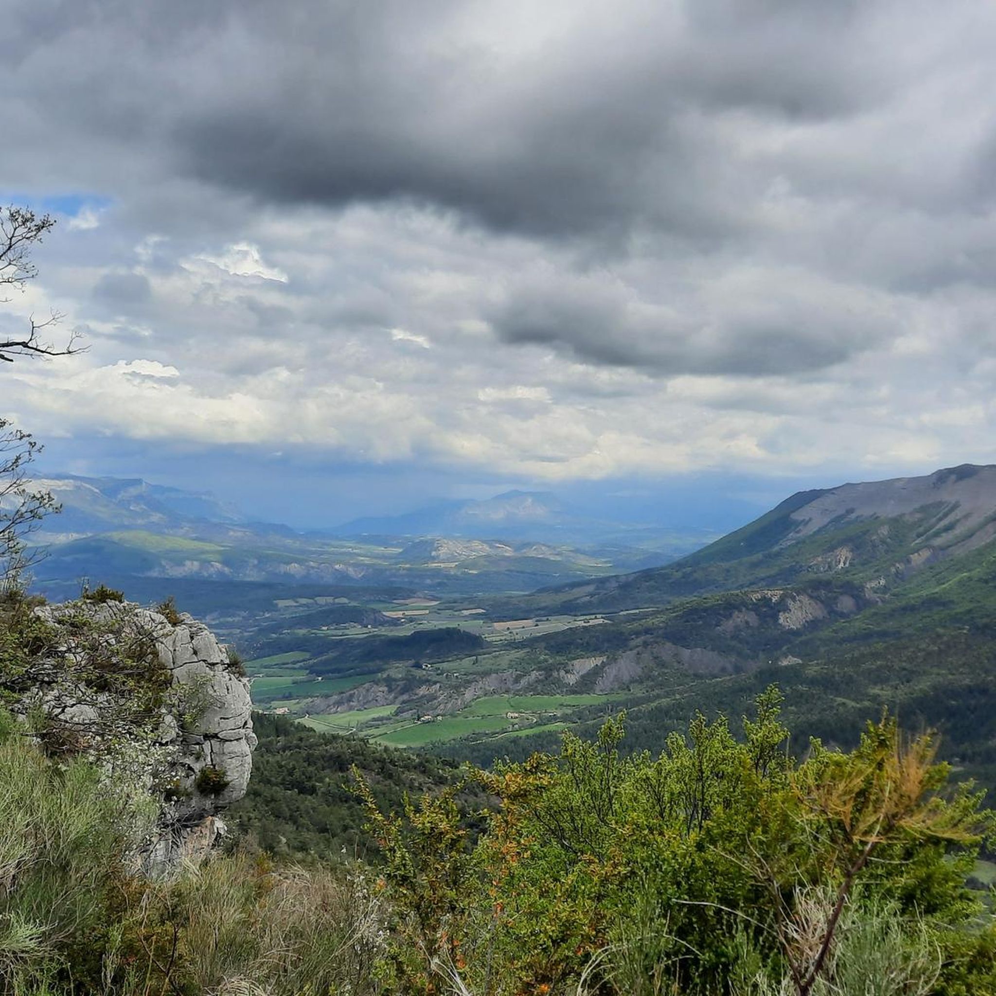
Road cycling routes around Orpierre are set within the Hautes-Alpes department of southeastern France, a region characterized by dramatic cliffs, wild valleys, and mid-mountain terrain. The area offers diverse landscapes, from the Céans Valley to the Gorges de la Méouge, with paved surfaces suitable for road cycling. Its sunny climate and varied topography provide an ideal setting for exploring a network of routes.
Best road cycling routes around Orpierre
- The most popular road cycling route is Serres – Montjay loop…
Last updated: June 25, 2026
4.7
(7)
69
riders
63.7km
02:53
720m
720m
Moderate road ride. Good fitness required. Mostly well-paved surfaces and easy to ride.
4.5
(2)
71
riders
44.7km
02:23
890m
890m
Moderate road ride. Good fitness required. Mostly well-paved surfaces and easy to ride.

Sign up for free
4.0
(1)
45
riders
44.4km
02:49
970m
970m
Hard road ride. Very good fitness required. Some segments of this route may be unpaved and difficult to ride.
23
riders
35.0km
01:43
540m
540m
Moderate road ride. Good fitness required. Mostly well-paved surfaces and easy to ride.
4.0
(1)
12
riders
28.4km
01:13
240m
240m
Easy road ride. Great for any fitness level. Mostly well-paved surfaces and easy to ride.
Get access to more routes and recommendations from other explorers.
Sign up for free
Already have an account?
Our route recommendations are based on thousands of hikes, rides, and runs completed by other people on komoot.
Start today with a free account
Your next adventure awaits.
Login or Signup



Tips from the Community

The Col de Faye is a mountain pass in the Southern Alps, located in the department of Hautes-Alpes at an altitude of approximately 922 to 924 meters. It connects the Buëch valley to the Durance valley — between the municipalities of Savournon and Ventavon — via the departmental road D21.
7
0
Very beautiful square. The fountain is well designed.
7
0
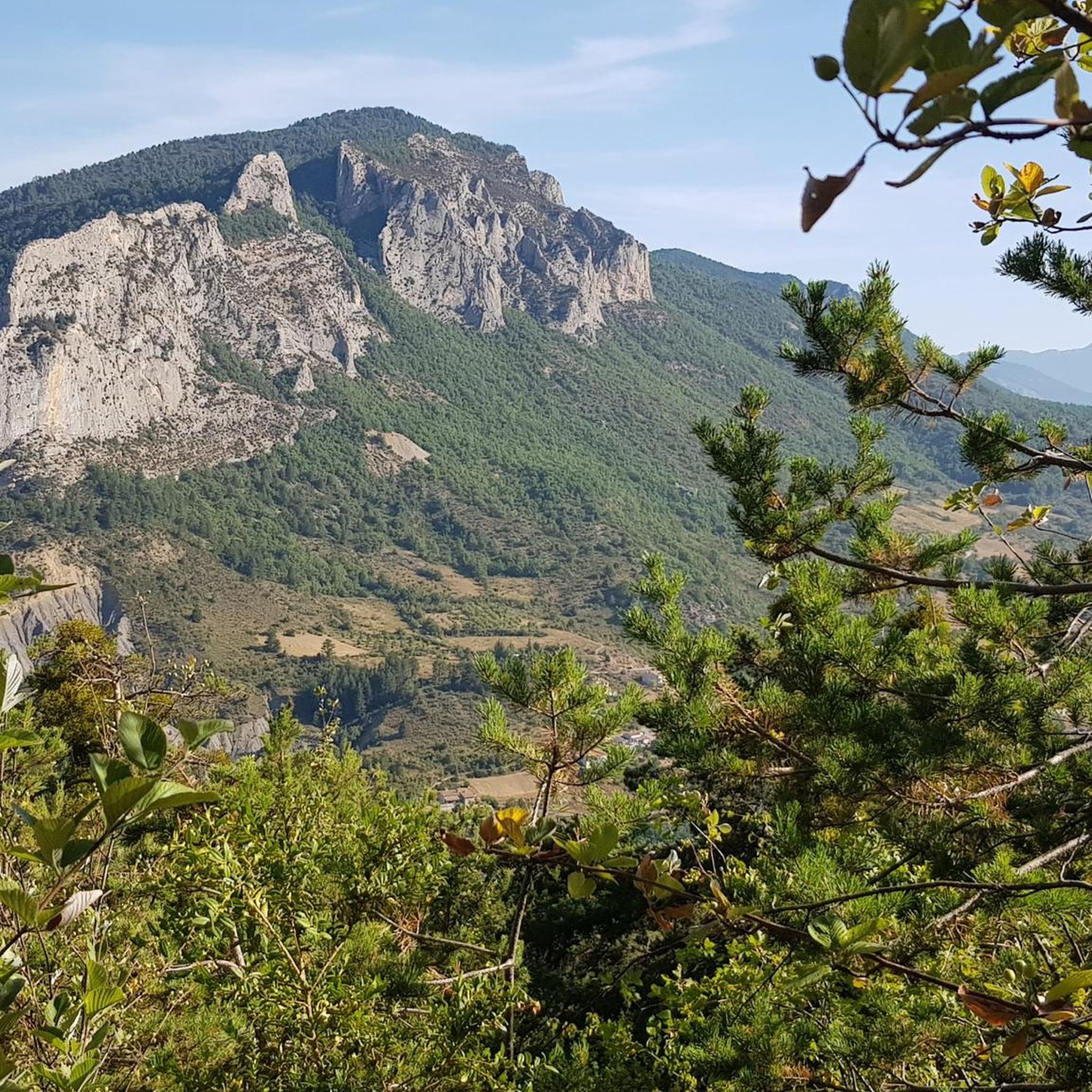
Orpierre is a small medieval village located in the Hautes-Alpes department in the Provence-Alpes-Côte d’Azur region of southeastern France. It has a population of between 300 and 330 inhabitants and stands in the Céans valley, surrounded by limestone cliffs and mountains that give it a unique landscape setting.
4
0
The Col de Pierre-Vesce is a mountain pass located in the Drôme department, in the heart of the Baronnies Provençales massif. Some details: * 📍 Altitude: approximately 1,056 m (some less recent sources mention 1,013 m, but the altitude of the pass on the road is generally indicated as 1,056 m). * 🚴 It connects the municipalities of Laborel and Villebois-les-Pins. * ⛰️ The climb is short but demanding: * from Laborel: 3.3 km with an average gradient of 6.9%; * from Villebois-les-Pins: 2.3 km with an average gradient of 8.7%, with sections reaching almost 14%.
4
0
Orpierre is a small medieval village located in the Hautes-Alpes, in the Provence-Alpes-Côte d'Azur region, in southeastern France.
4
0
Fast descent with perfect asphalt.
4
0
Stunning view of the Buẽch river
5
0
Frequently Asked Questions
What kind of terrain can I expect on road cycling routes around Orpierre?
The Orpierre region offers diverse terrain, from wild valleys and mid-mountains to dramatic cliffs. You'll find well-maintained paved surfaces suitable for road cycling, with routes traversing varied landscapes from the picturesque Céans Valley to the impressive Gorges de la Méouge. Expect winding roads and opportunities for challenging climbs over passes like the Perty Pass and Saint-Jean Pass.
Are there road cycling routes for all skill levels in Orpierre?
Yes, Orpierre provides a variety of road cycling routes catering to different abilities. The area features options for easy, moderate, and difficult skill levels. For instance, you can find routes with significant elevation gain, such as the Buesch dam – Orpierre loop from Orpierre, which includes over 1200 meters of ascent, or more moderate options like the Serres – Montjay loop from Orpierre.
What are some notable landmarks or natural features to see along the road cycling routes?
Orpierre's road cycling routes are rich with scenic views and natural attractions. You can cycle past the dramatic cliffs that define the village, or explore the stunning Perty Pass, which offers panoramic views including Mont Ventoux. The nearby Gorges de la Méouge, a classified Natura 2000 site, features wild landscapes and turquoise waters. Other highlights include the Saint-Jean Pass and the preserved Forest of Beynaves.
What is the best time of year for road cycling in Orpierre?
Orpierre benefits from approximately 300 sunny days a year, making it an excellent destination for road cycling for much of the year. The spring and autumn months typically offer pleasant temperatures and beautiful scenery, with the region's fruit orchards and lavender routes adding to the visual appeal. Summer is also popular, though some climbs can be more challenging in warmer weather.
Are there any family-friendly road cycling routes in the Orpierre area?
While many routes around Orpierre involve significant climbs and varied terrain, there are options that can be enjoyed by families. The region's network of paved roads allows for choosing flatter sections or shorter loops. For specific family-friendly routes, it's advisable to check the difficulty ratings and elevation profiles on individual tour pages to find those best suited for younger or less experienced riders.
Where can I find parking for my car when starting a road cycling tour in Orpierre?
Orpierre, being a charming medieval village, offers various parking options. You can typically find parking within or on the outskirts of the village center, providing convenient access to start your road cycling adventures. Specific parking areas are usually indicated on local maps or can be inquired about at the local tourism office.
Can I reach Orpierre by public transport with my bicycle?
Public transport options to Orpierre are generally limited, as it is a smaller, more secluded village in the Hautes-Alpes. While regional buses might serve the area, their capacity for bicycles can vary. It's recommended to check with local transport providers in advance regarding their bicycle policies and schedules if you plan to use public transport to reach Orpierre.
What do other road cyclists enjoy most about road cycling in Orpierre?
The road cycling experience in Orpierre is highly rated by the komoot community, with an average score of 4.5 stars from over 100 reviews. Cyclists frequently praise the region's stunning and diverse landscapes, from dramatic cliffs to wild valleys, and the challenging yet rewarding climbs over passes. The sunny climate and well-maintained paved roads also contribute to a highly enjoyable cycling experience.
Are there any long-distance or multi-day road cycling routes that pass through Orpierre?
Yes, Orpierre is situated along notable cycling routes. For instance, sections of the "P'tites Routes du Soleil" traverse the region, offering riders picturesque journeys through the Céans Valley. This route is part of a larger network, providing opportunities for longer, multi-day cycling adventures. You can find more information about this network on France Vélo Tourisme.
What are some of the more challenging road cycling routes around Orpierre?
For experienced cyclists seeking a challenge, Orpierre offers several demanding routes with significant elevation gain. The Orpierre – Buesch dam loop from Nossage-et-Bénévent, for example, is classified as difficult and features over 1100 meters of ascent. Another challenging option is the Buesch dam – Orpierre loop from Orpierre, which includes over 1200 meters of climbing, testing endurance and climbing skills.
Can I find loop routes for road cycling starting and ending in Orpierre?
Yes, many of the road cycling routes around Orpierre are designed as loops, allowing you to start and finish in the same location. Examples include the Serres – Montjay loop from Orpierre and the Faye Pass – Buesch dam loop from Orpierre. These circular routes offer the convenience of returning to your starting point without needing additional transport.
Are there any specific mountain passes that are popular among road cyclists in Orpierre?
Absolutely. The region around Orpierre is known for its scenic and challenging mountain passes. The Perty Pass (Col de Perty) is a popular destination, offering a significant climb and rewarding views. Another notable pass is the Saint-Jean Pass (Col de Saint-Jean), which also provides a good test for cyclists with its steep sections. These passes are integral to many of the area's best road cycling routes.
Most popular attractions around Orpierre

Get inspired with the komoot mobile app


Explore more
Browse the best Road cycling routes in other regions.
