The best road cycling routes around La Piarre
4.5
(108)
2,370
riders
66
rides
Road cycling around La Piarre, located in the Hautes-Alpes department of Provence-Alpes-Côte d'Azur, offers diverse terrain for cyclists. The region is characterized by its rural and green aspect, with elevations ranging from 760 to 1760 meters, including the Montagne de l'Aup. Extensive forests cover over 50% of the area, providing varied landscapes for road cycling routes.
Best road cycling routes around La Piarre
- The most popular road cycling route is Haut-Buëch Loop, a 46.3 miles (74.5 km) trail that…
Last updated: June 25, 2026
5.0
(1)
54
riders
74.5km
04:00
1,440m
1,440m
Challenge yourself on this difficult 46.3-mile road cycling route, climbing three cols at the border of Drôme and Hautes-Alpes.
22
riders
121km
06:22
2,260m
2,260m
This difficult 75.4-mile road cycling route in the Parc naturel régional des Baronnies Provençales climbs three cols with 7426 feet of gain.

Sign up for free
4.6
(8)
121
riders
68.3km
03:19
920m
920m
Hard road ride. Very good fitness required. Mostly well-paved surfaces and easy to ride.
5.0
(5)
105
riders
95.2km
05:04
1,840m
1,840m
Hard road ride. Very good fitness required. Mostly well-paved surfaces and easy to ride.
4.1
(11)
113
riders
46.5km
02:16
640m
640m
Moderate road ride. Good fitness required. Mostly well-paved surfaces and easy to ride.
Get access to more routes and recommendations from other explorers.
Sign up for free
Already have an account?
Our route recommendations are based on thousands of hikes, rides, and runs completed by other people on komoot.
Start today with a free account
Your next adventure awaits.
Login or Signup
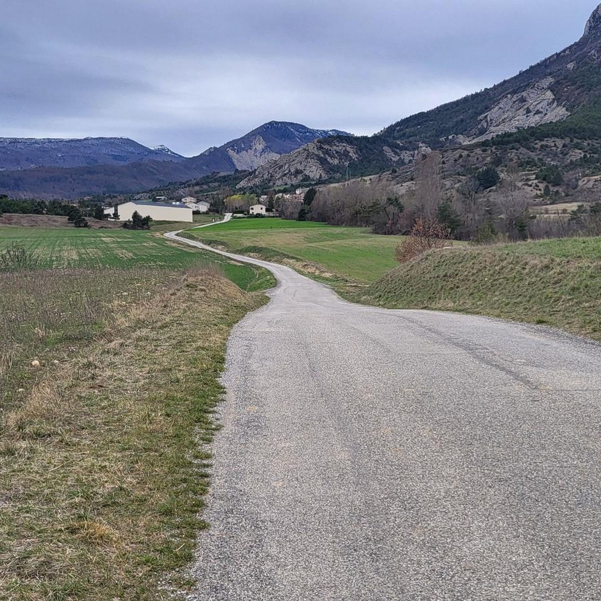
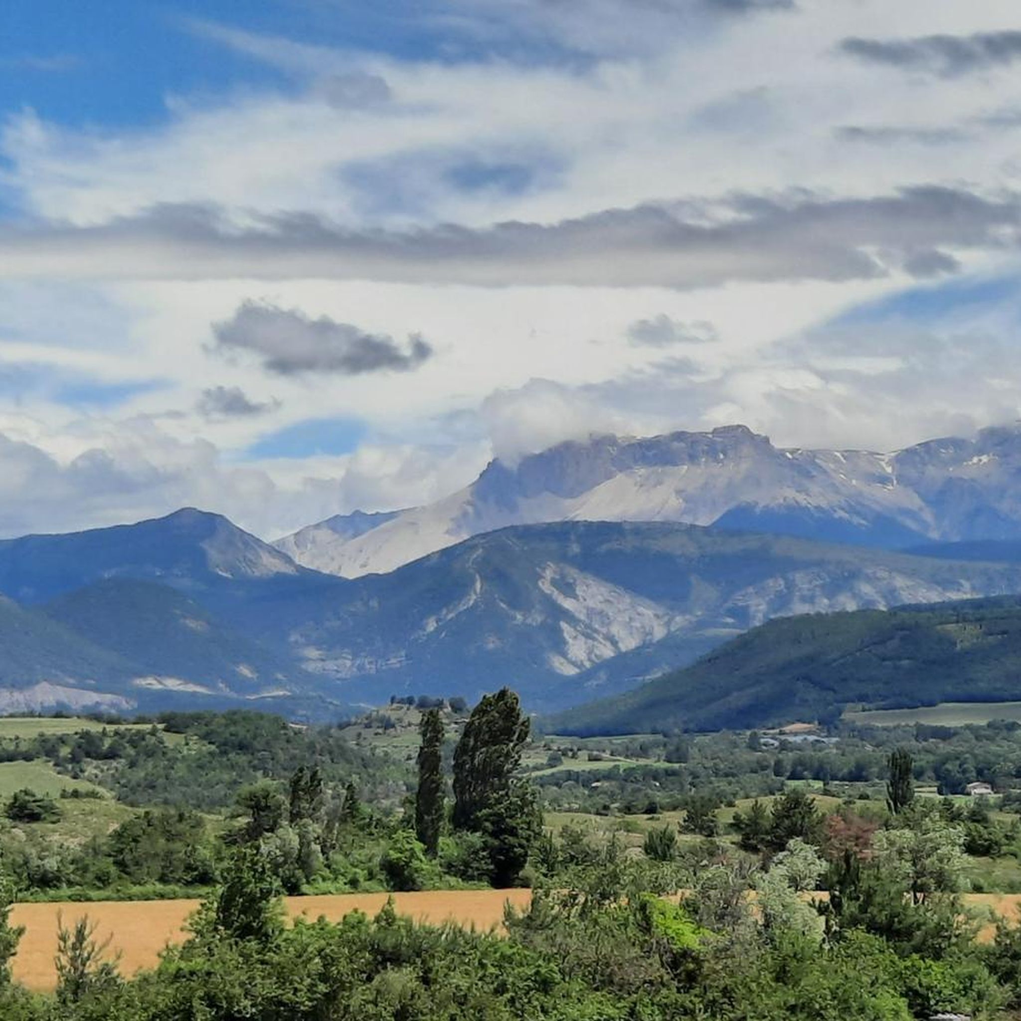
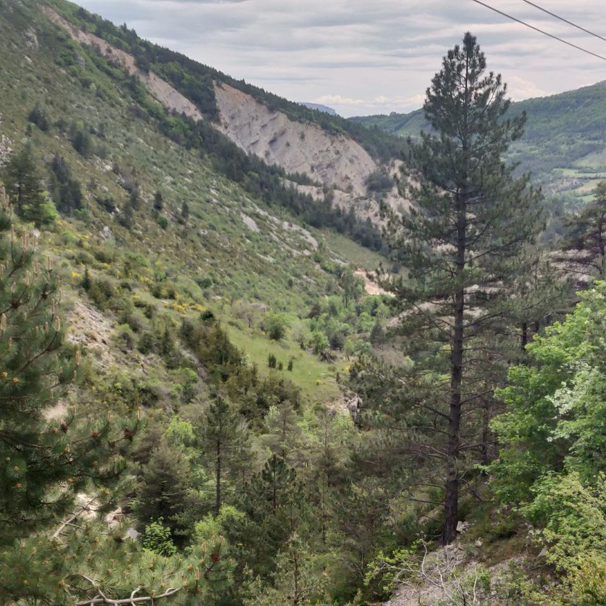
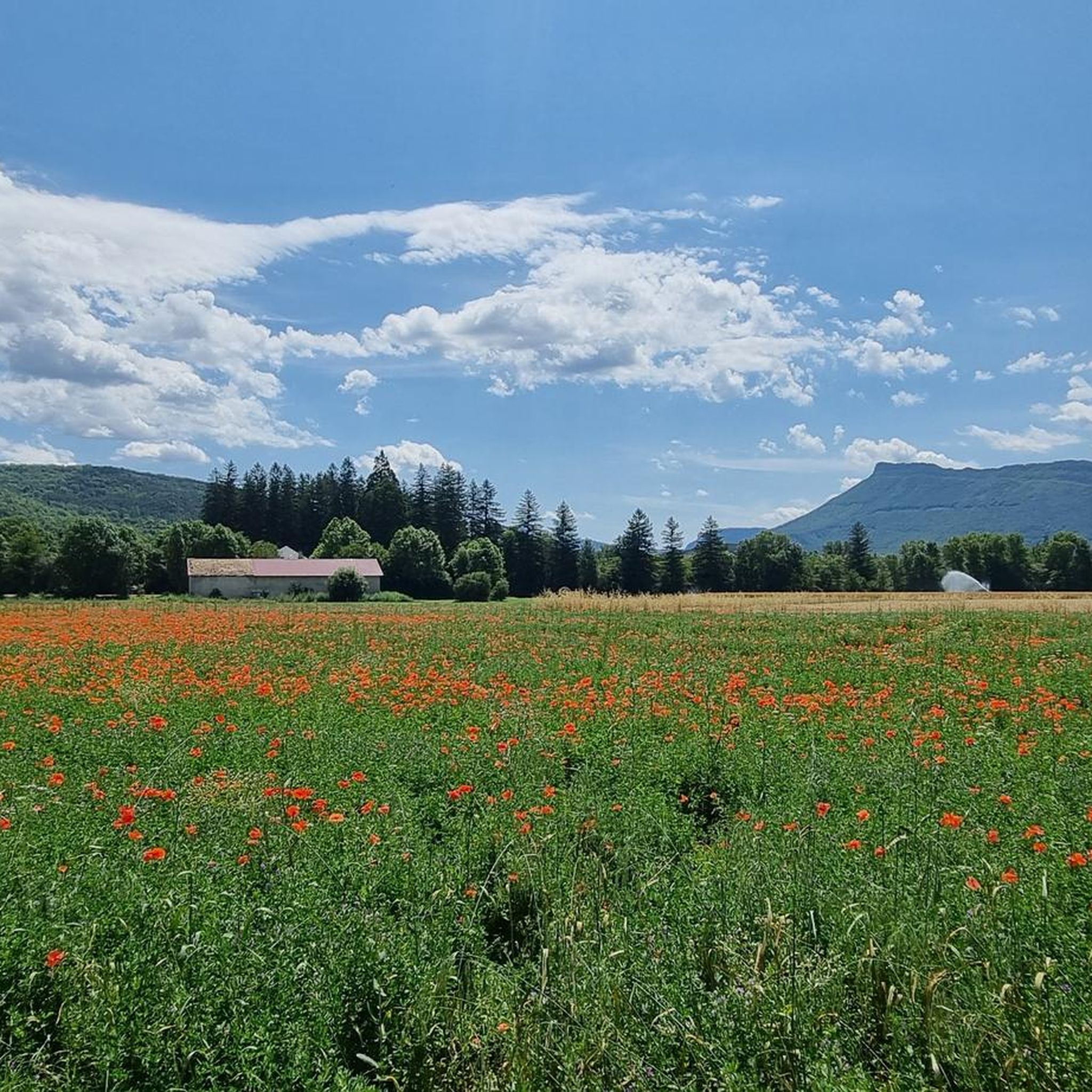

Tips from the Community

A road that cuts out the traffic, Unforgettable panoramas
3
0
La Diga di Buesch (in French, Barrage du Buëch) is a small dam located on the Buëch river, in the department of Alpes-de-Haute-Provence / Hautes-Alpes, in southeastern France, near Laragne-Montéglin. It is best known as a landmark for cyclists and hikers in the Buëch valley.
7
0
The Col de Carabès is a mountain pass located in the French Alps, on the border between the departments of Drôme and Hautes-Alpes.
11
0
Col de la Haute-Beaume is a small mountain pass located in the Hautes-Alpes department, in the Provence-Alpes-Côte d'Azur region, near the villages of La Haute-Beaume and La Beaume.
8
0
Col de Cabre is a mountain pass located in the southeast of France, between the departments of Drôme and Hautes-Alpes, in the regions Auvergne-Rhône-Alpes and Provence-Alpes-Côte d'Azur.
9
0
The view of Aujour (Montagne de l’Aujour) is one of the most spectacular panoramas in the area between the Alpes-de-Haute-Provence and the Sisteron area: a long limestone ridge that dominates valleys, hills and, on clear days, opens up to the Prealps and the Durance basin.
12
0
Passage through wonderful orchards.
14
0
Serres is a municipality in southeastern France, located in the department of Hautes-Alpes, in the Provence-Alpes-Côte d’Azur region.
14
0
Frequently Asked Questions
How many road cycling routes are available around La Piarre?
There are over 50 road cycling routes available around La Piarre, catering to various skill levels. You'll find a mix of easy, moderate, and challenging routes to explore the diverse terrain of the Hautes-Alpes.
What is the best time of year for road cycling in La Piarre?
The best time for road cycling in La Piarre is typically from spring through autumn. The region benefits from a pleasant climate, but it's always advisable to check local weather conditions, especially when planning to tackle higher mountain passes, as conditions can change rapidly.
What are the typical difficulty levels of road cycling routes in La Piarre?
La Piarre offers a range of difficulties. You'll find a few easy routes, around 20 moderate options, and over 30 difficult routes. The terrain varies significantly, from 760 to 1760 meters in elevation, ensuring options for all experience levels, including challenging climbs over mountain passes.
Are there any long-distance road cycling routes near La Piarre?
Yes, La Piarre is an excellent starting point for longer rides. For instance, the Three Cols of the Baronnies Provençales Loop is a challenging 75-mile (121 km) route, and the La Charce Castle – Col de Carabès loop from Serres covers over 59 miles (95 km), offering significant elevation gain and scenic panoramas.
What scenic landmarks or natural features can I expect to see along the road cycling routes?
Road cycling routes around La Piarre often feature splendid panoramas and traverse a preserved natural environment. You can expect to see diverse landscapes, including extensive forests covering over 50% of the area. Notable natural features include the Montagne de l'Aup, and you might pass by significant peaks like Le Duffre or Le Rochasson.
Are there notable mountain passes to conquer in the La Piarre area?
Absolutely. The region is known for its challenging mountain passes. Cyclists can tackle ascents over passes such as Col de Carabès, Col de la Haute Beaume, and Col des Tourette. These passes are often part of longer loops like the Tour du Duffre or the Préalpes à Vélo Circuit, offering rewarding views.
Is La Piarre suitable for family-friendly road cycling?
While many routes in La Piarre feature significant elevation and are geared towards experienced cyclists, there are some easier options available. For family-friendly cycling, it's best to look for routes with less elevation gain and on quieter roads. Always check the route details and difficulty ratings on komoot to find the most suitable paths for your family.
Can I find parking for my car when starting a road cycling route in La Piarre?
La Piarre is a small village, and parking options are generally available, especially in the village center or near local amenities. For specific routes, it's advisable to check the starting point on komoot for any designated parking areas or suitable roadside spots. Given its rural nature, finding parking is usually less challenging than in larger towns.
Is public transport available to access cycling routes around La Piarre?
Public transport options directly to specific cycling route starting points in La Piarre may be limited due to its rural location. The Hautes-Alpes department has some regional bus services, but their frequency and ability to transport bicycles can vary. For detailed information on public transport that accommodates bikes, it's best to consult the local tourism office or regional transport websites.
What gear is recommended for road cycling in La Piarre?
Given the varied terrain and potential for significant elevation changes, a well-maintained road bike with appropriate gearing for climbing is essential. We recommend bringing a helmet, sufficient water, nutrition, a repair kit, and layers of clothing to adapt to changing weather conditions, especially when ascending to higher altitudes. Sun protection is also crucial.
Are there any circular road cycling routes in La Piarre?
Yes, many of the road cycling routes around La Piarre are designed as loops, allowing you to start and finish in the same location. Examples include the Haut-Buëch Loop and the Col de la Haute Beaume loop from Serres. These circular routes offer a convenient way to explore the region without needing to retrace your steps.
What do other road cyclists enjoy most about road cycling in La Piarre?
The road cycling routes in La Piarre are highly rated by the komoot community, with an average score of 4.6 stars from over 70 reviews. Cyclists often praise the region's preserved natural environment, the challenging mountain passes, and the breathtaking panoramas that accompany many of the rides. The diverse terrain and quiet roads also contribute to a highly enjoyable cycling experience.
Most popular attractions around La Piarre

Get inspired with the komoot mobile app


Explore more
Browse the best Road cycling routes in other regions.
