The best walks and hikes around Pont-Les-Moulins
4.2
(384)
1,788
hikers
86
hikes
Hiking around Pont-Les-Moulins offers diverse terrain, characterized by the Doubs valley and surrounding hills. The region features a mix of dense woodlands, open landscapes, and elevated viewpoints. Trails often follow river courses or ascend to provide panoramic vistas of the local countryside. This area provides a variety of natural features for outdoor exploration.
Best hiking trails around Pont-Les-Moulins
- The most popular hiking route is Croix de Châtard Loop, a 7.9 miles (12.6 km) trail that takes 3 hours 54…
Last updated: August 29, 2026
4.6
(28)
103
hikers
12.6km
03:54
440m
440m
Hike the difficult 7.9-mile Croix de Châtard Loop for panoramic views of the Doubs valley and Baume-les-Dames.
4.4
(36)
148
hikers
8.46km
02:24
180m
180m
Moderate hike. Good fitness required. Easily-accessible paths. Suitable for all skill levels.

Sign up for free
4.4
(30)
124
hikers
10.3km
03:01
270m
270m
Moderate hike. Good fitness required. Easily-accessible paths. Suitable for all skill levels.
4.7
(22)
92
hikers
11.7km
03:34
370m
370m
Moderate hike. Good fitness required. Easily-accessible paths. Suitable for all skill levels.
4.3
(17)
100
hikers
19.4km
05:53
640m
630m
Hard hike. Very good fitness required. Easily-accessible paths. Suitable for all skill levels.
Get access to more routes and recommendations from other explorers.
Sign up for free
Already have an account?
Our route recommendations are based on thousands of hikes, rides, and runs completed by other people on komoot.
Start today with a free account
Your next adventure awaits.
Login or Signup

Tips from the Community

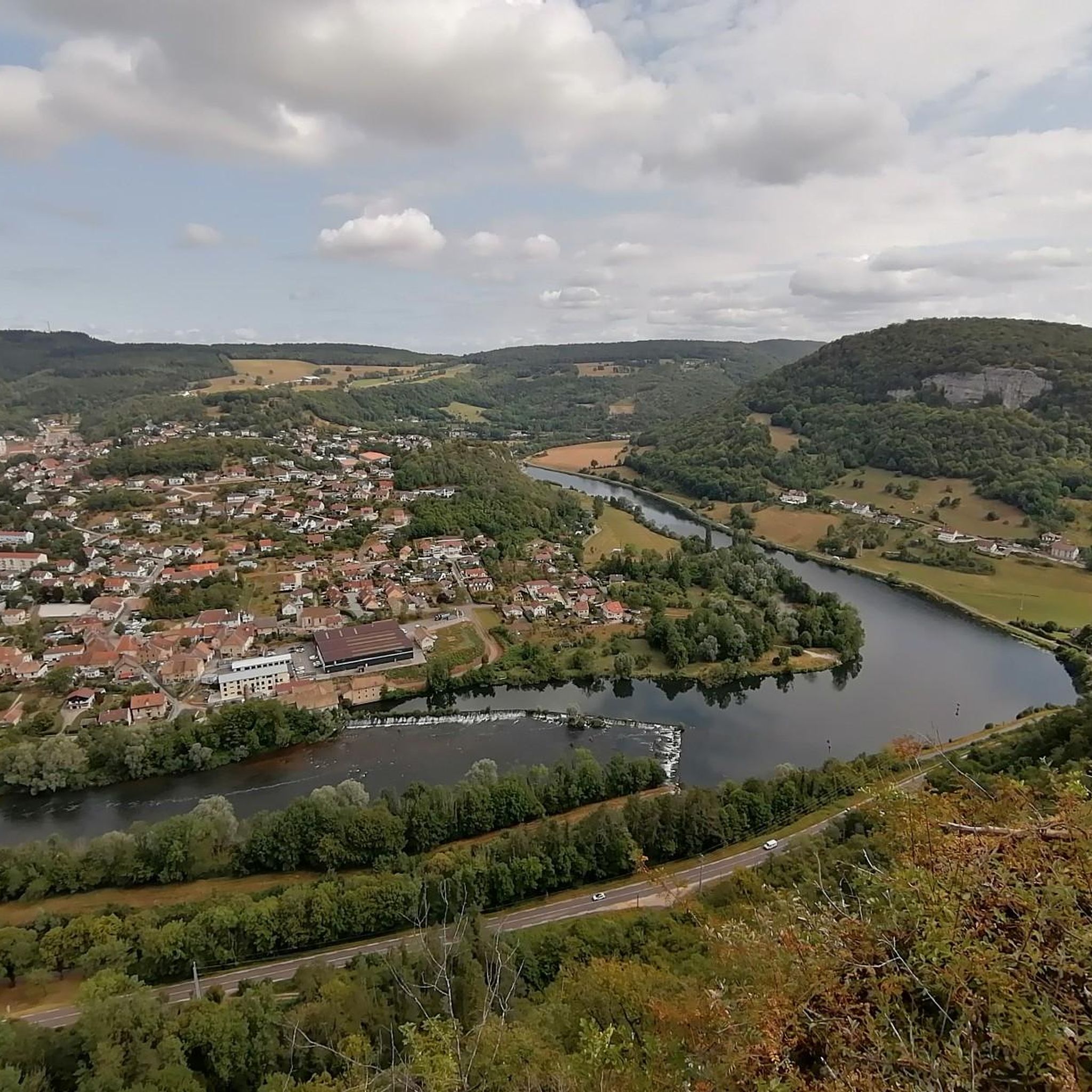
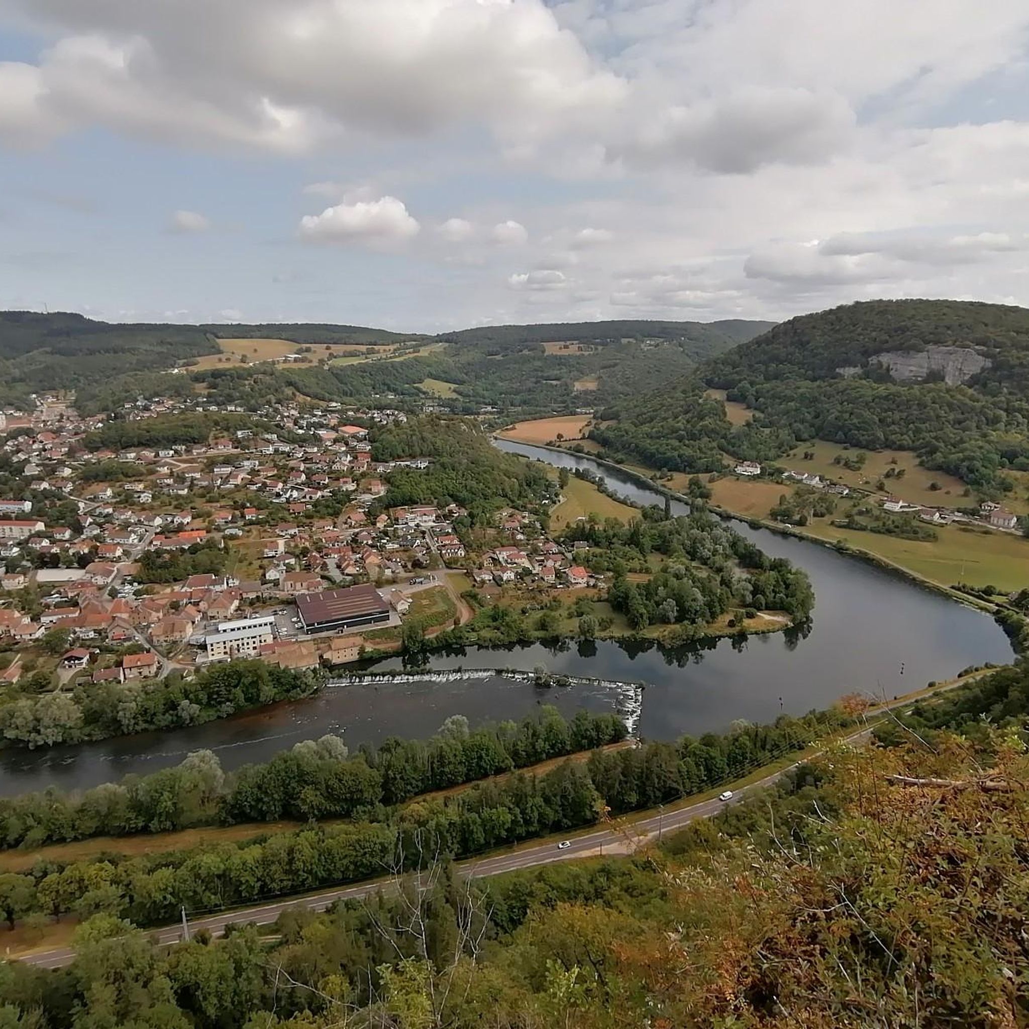
Superb viewpoint, among the best in the valley
0
0

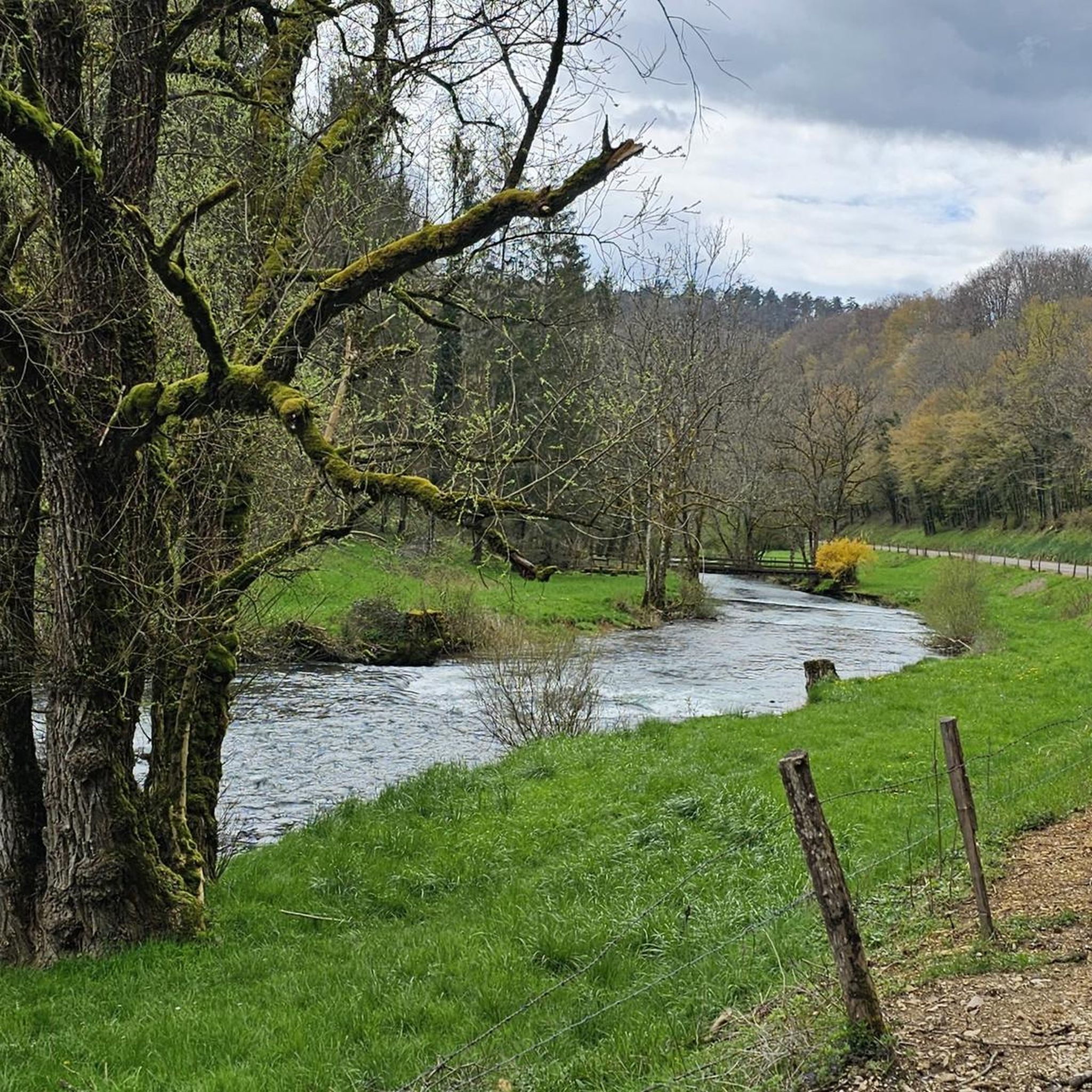
This magnificent section approaching Baume-les-Dames reveals a bucolic setting. Between the Rhône-Rhine Canal and the Doubs River, it's a delight to progress through this environment.
0
0

A beautiful tour to get from Freiburg into France. Then you can follow the Rhone to the South of France or cross the Saone to the Loire. A very, very nice ride.
0
0


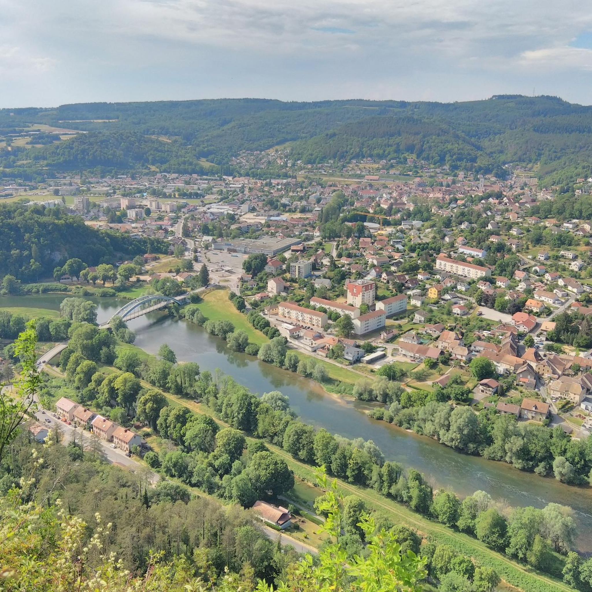
View from the summit of Baume-les-Dames
0
0

Please note, this hike was done in May 2025, and the very last section was inaccessible. We were unable to reach the source of the Cusancin River; fallen trees and overgrown vegetation made the path impossible to find. We had to turn around and return to the starting point by road (barely a hundred meters of asphalt).
1
0


roads along the Doubs
0
0
Frequently Asked Questions
How many hiking trails are available around Pont-Les-Moulins?
There are over 85 hiking routes in the Pont-Les-Moulins region, offering a wide variety of options for different skill levels and preferences. This includes 41 easy, 36 moderate, and 8 difficult trails.
Are there any easy hiking trails suitable for beginners or casual walkers?
Yes, Pont-Les-Moulins offers a good selection of easy trails. With 41 easy routes available, you can find gentle paths perfect for a relaxed stroll through the local scenery. These trails often follow the Doubs river or wind through less challenging forested areas.
What kind of natural attractions can I expect to see along the hiking trails?
The region is rich in natural beauty. You can explore highlights such as the scenic Along the Doubs River, the impressive The Grange-Ravey cliffs, and various viewpoints like Saut de Gamache Viewpoint and Roche de Chatard Viewpoint. There are also unique natural monuments like La Source bleue and several caves.
Are there any circular hiking routes around Pont-Les-Moulins?
Yes, many trails in the area are circular, allowing you to start and end at the same point. An example is the moderate Roche de Chatard Viewpoint – Le pont rouge loop from Baume-les-Dames, which offers great views and passes by the distinctive red bridge.
What do other hikers say about the trails in Pont-Les-Moulins?
The hiking trails in Pont-Les-Moulins are highly regarded by the komoot community, with an average rating of 4.3 stars from over 290 reviews. Hikers often praise the diverse terrain, scenic viewpoints, and the tranquility of the Doubs valley.
Are there any challenging hiking routes for experienced hikers?
Absolutely. For those seeking a more strenuous experience, there are 8 difficult routes available. One such challenging option is the Croix de Châtard Loop, which covers 7.9 miles (12.6 km) with significant elevation gain through varied terrain.
Can I find trails with good viewpoints in the Pont-Les-Moulins area?
Yes, the region is known for its elevated viewpoints. Many trails ascend to offer panoramic vistas of the Doubs valley and the surrounding countryside. The Baume-les-Dames – View of the Doubs valley loop from Baume-les-Dames is a great example, providing stunning views of the valley.
Are there any trails that pass by water features or springs?
Yes, the area features several water-related attractions. You can find trails that lead to natural springs, such as the one near La Source bleue. The Doubs River itself is a prominent feature, with many routes following its course.
What is the best time of year to go hiking in Pont-Les-Moulins?
The region offers pleasant hiking conditions from spring through autumn. Spring brings lush greenery and blooming wildflowers, while autumn showcases vibrant fall foliage. Summer is also popular, though some trails might be more exposed to the sun. Winter hiking is possible, but conditions can vary, and some paths might be slippery or covered in snow.
Are there any long-distance hiking options or multi-day routes?
While many routes are suitable for day hikes, some longer and more challenging options, like the difficult Saint-Erminfroid Chapel – The Blue Spring loop from Guillon-les-Bains, can be combined or extended for multi-day adventures. These routes often connect various villages and natural landmarks.
Are there any less crowded hiking options for a more peaceful experience?
To find less crowded trails, consider exploring some of the 41 easy routes or venturing out during off-peak hours or weekdays. The vast network of trails means you can often find quieter paths away from the more popular viewpoints, especially in the dense woodlands.
Are there any trails that are particularly good for exploring the local geology or rock formations?
Yes, the region's landscape is shaped by interesting geological features. You can explore areas with notable rock formations like Rochers de Sous-Buen and the impressive The Grange-Ravey cliffs, which offer unique natural sights along the trails.
Most popular routes around Pont-Les-Moulins
Most popular attractions around Pont-Les-Moulins

Get inspired with the komoot mobile app


Explore more
Browse the best Hikes in other regions.
