The best running trails around Caupenne
4.4
(10)
319
runners
57
runs
Jogging routes around Caupenne traverse a varied landscape within the Chalosse region of the Landes department. The area features the Louts River valley, offering relatively flat paths along the water's edge. Westward, the terrain becomes hilly, providing elevation changes and viewpoints. Country roads winding through fields of corn, wheat, and vineyards also serve as running paths.
Best jogging routes around Caupenne
- The most popular jogging route is Brassempouy Prehistoric Site loop from Saint-Cricq-Chalosse, an 8.2 miles (13.3 km) trail…
Last updated: May 12, 2026
23
runners
13.3km
01:35
220m
220m
Moderate run. Good fitness required. Mostly paved surfaces. Suitable for all skill levels.
4.0
(1)
29
runners
12.6km
01:19
120m
120m
Moderate run. Good fitness required. Mostly paved surfaces. Suitable for all skill levels.

Sign up for free
15
runners
7.00km
00:45
100m
100m
Moderate run. Good fitness required. Mostly paved surfaces. Suitable for all skill levels.
9
runners
9.60km
01:00
80m
80m
Moderate run. Good fitness required. Mostly paved surfaces. Suitable for all skill levels.
5
runners
10.1km
01:13
150m
150m
Moderate run. Good fitness required. Mostly paved surfaces. Suitable for all skill levels.
Get access to more routes and recommendations from other explorers.
Sign up for free
Already have an account?
Our route recommendations are based on thousands of hikes, rides, and runs completed by other people on komoot.
Start today with a free account
Your next adventure awaits.
Login or Signup


Tips from the Community

Built on the old railway line that connected Saint-Sever to the spa town of Dax, the Chalosse Green Route offers a 34-kilometer stretch on smooth, hard-surfaced ground. The route offers a bucolic atmosphere with landscapes of woods, hills, and meadows. Among the main tourist attractions are the town center of Saint-Sever (whose abbey is a UNESCO World Heritage Site as part of the Santiago de Compostela Route), the villages of Mugron and Montfort with its Chalosse Museum, and Montaut, a charming Chalosse village. The Landes-Chalosse destination will delight cyclists thanks to its green route and numerous hiking trails. Source: https://www.landes-chalosse.com/se-divertir/fan-de-nature-loisirs-et-activites-de-plein-air/la-voie-verte-de-chalosse
1
0

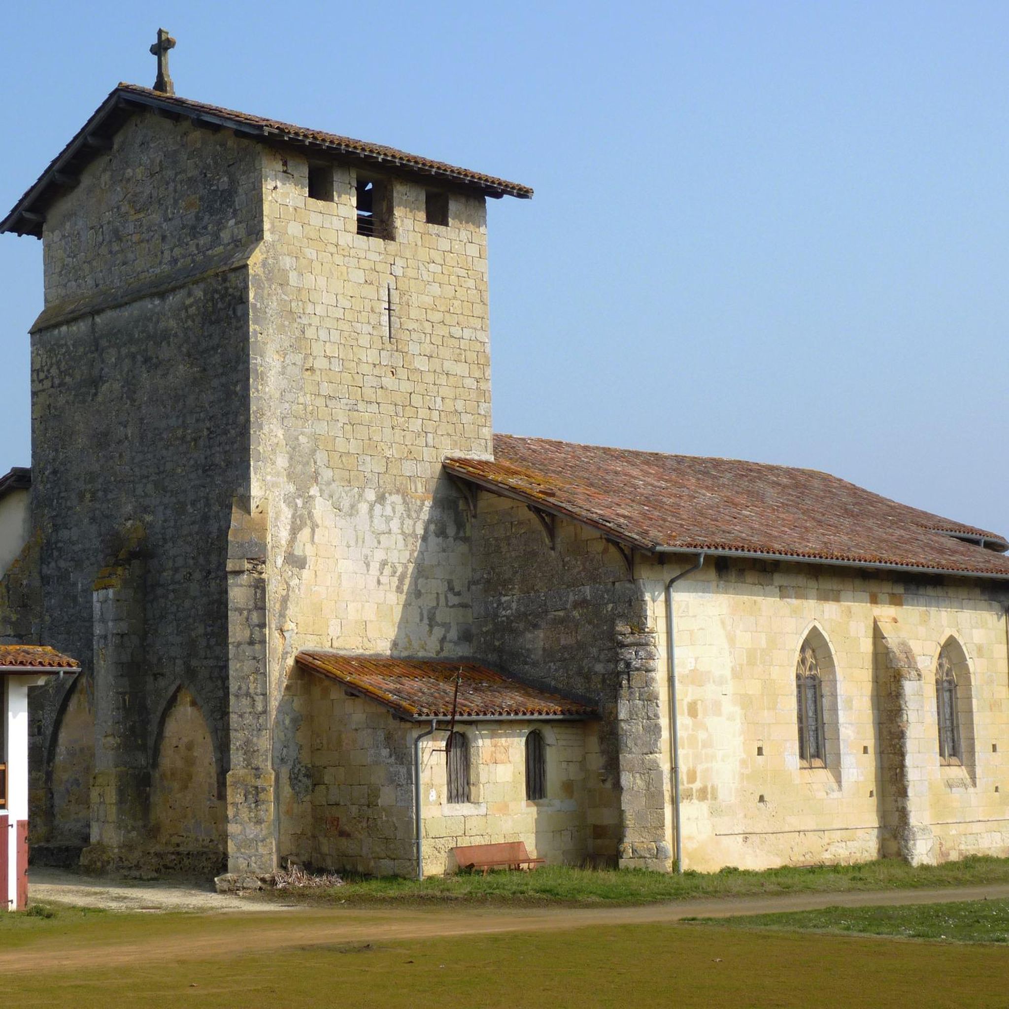
Here the famous Lady of Brassempouy was discovered in 1894, today attested as the first human face.
2
0
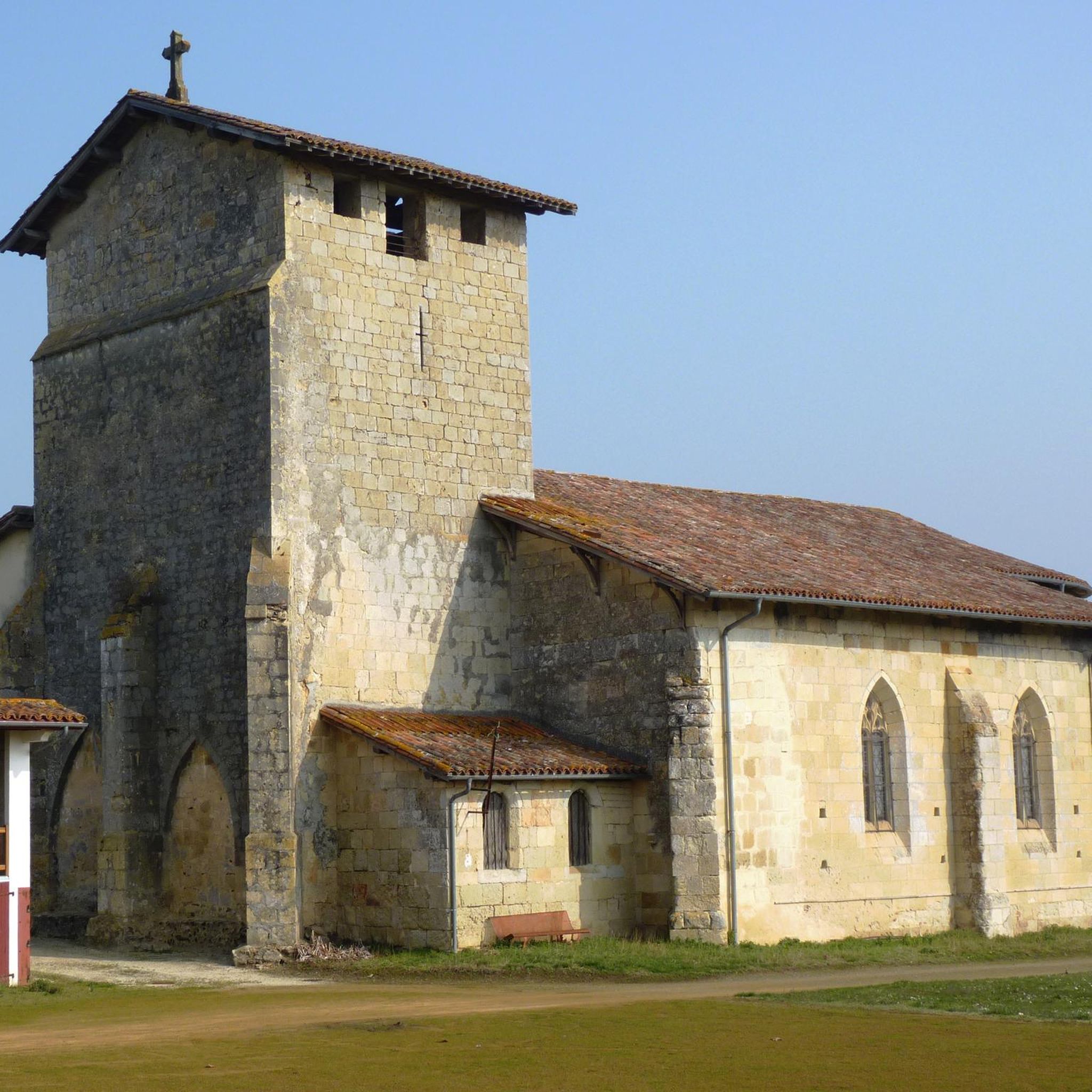
The Chalosse greenway in the Landes is a former railway line redeveloped into a pedestrian route. Covered with gravel, it is used for running, mountain biking or horse riding.
2
0

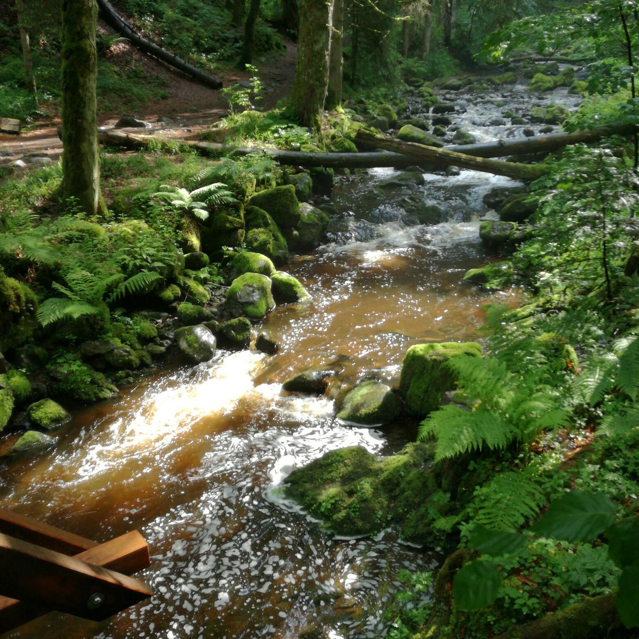
Pleasant greenway on a path along the old railway line.
1
0

Here is a nice section for cycling. When the weather is good, the surrounding landscape is also very beautiful.
4
0
Frequently Asked Questions
How many running routes are available around Caupenne?
There are nearly 60 running routes available around Caupenne, offering a wide variety of options for different preferences and fitness levels. The komoot community has explored these trails over 280 times, highlighting the area's popularity for outdoor activities.
Are there easy running routes suitable for beginners or families in Caupenne?
Yes, while most routes are moderate, there are a couple of easy running routes around Caupenne that are suitable for beginners or families looking for a less strenuous experience. These typically follow flatter sections, often along the Louts River.
What kind of terrain can I expect on jogging routes around Caupenne?
The terrain around Caupenne is quite varied. You'll find relatively flat paths along the Louts River, ideal for a relaxed jog. Moving westward, the landscape becomes hilly, offering more challenging runs with rewarding viewpoints. Many routes also follow quiet country roads winding through fields of corn, wheat, and vineyards, characteristic of the rural Chalosse region.
Are there any scenic viewpoints along the running trails in the area?
Absolutely. The hilly areas to the west of Caupenne provide interesting viewpoints with panoramic vistas of the surrounding countryside. For instance, the Romanesque chapel of Saint Laurent, southwest of town, sits atop a rocky spur and offers expansive views, even of the majestic Pyrenees in the distance on clear days. You can also find highlights like The Chalosse Viewpoint and The Montfort-en-Chalosse viewpoint nearby.
Can I find circular running routes in Caupenne?
Yes, many of the running paths around Caupenne are designed as loops, allowing you to start and finish at the same point. Examples include the popular Running loop from Lourquen and the Running loop from Mugron, which takes you through the Louts River valley.
What historical or cultural sights can I see while jogging in Caupenne?
Caupenne offers several historical points of interest that can enrich your run. You might pass by the beautiful 11th-century Saint-Martin Church or the 17th-century Château de Caupenne. To the southwest, the early 11th-century Romanesque chapel of Saint Laurent provides not only historical context but also stunning views.
How long are the typical running routes in Caupenne?
The running routes in Caupenne vary in length. Many popular routes are moderate in distance, such as the Brassempouy Prehistoric Site loop from Saint-Cricq-Chalosse, which is about 13.3 km (8.2 miles), or the Voie verte de Chalosse loop from Mugron, at 9.6 km (6.0 miles). There are options ranging from shorter 7 km (4.3 miles) loops to longer trails for those seeking more distance.
What do other runners say about the routes in Caupenne?
The running routes in Caupenne are highly regarded by the komoot community, with an average rating of 4.25 stars from over 7 reviews. Runners often praise the varied terrain, from serene riverside paths to undulating hills, and the quiet country roads that offer a peaceful and scenic running experience through agricultural landscapes.
Are there options for longer or more challenging runs in the area?
Yes, for runners seeking a greater challenge, there are routes with more significant elevation changes in the hilly western parts of Caupenne. The Running loop from Saint-Cricq-Chalosse, for example, covers over 10 km with notable ascents, providing a good workout for experienced runners.
Is it possible to find parking near the running trails in Caupenne?
Given the rural nature of Caupenne and the surrounding Chalosse region, parking is generally available, often informally, near village centers or trailheads. While specific parking areas aren't always designated for every route, you can typically find suitable spots in the villages where many of these loops begin, such as Mugron or Saint-Cricq-Chalosse.
Are the running paths around Caupenne suitable for dogs?
Many of the rural roads and paths through fields and along the river are generally suitable for dogs, especially if kept on a leash. However, always be mindful of agricultural land and private property. It's advisable to check local regulations and ensure your dog is well-behaved around livestock and other trail users.
What is the best time of year to go running in Caupenne?
The spring and autumn months are generally ideal for running in Caupenne, offering pleasant temperatures and beautiful scenery as the fields change color. Summer can be warm, so early morning or late evening runs are recommended. Winter can also be suitable, though some paths might be muddy after rain, especially along the river.
Most popular attractions around Caupenne

Get inspired with the komoot mobile app


Explore more
Browse the best Running Trails & Routes in other regions.
