
The best running trails around Bischdorf
4.3
(16)
1,441
runners
118
runs
Jogging around Bischdorf offers a range of routes suitable for various fitness levels. The area provides opportunities for outdoor activity, with a network of trails available for running. These routes allow for exploration of the local surroundings at a steady pace. The region supports both shorter, easier runs and longer, more challenging routes.
Best jogging routes around Bischdorf
- The most popular jogging route is Grand Bois loop from Harprich, a 5.2 miles (8.3 km) trail that takes about 55…
Last updated: July 5, 2026
4.0
(1)
48
runners
13.6km
01:32
110m
110m
Moderate run. Good fitness required. Mostly paved surfaces. Suitable for all skill levels.
12
runners
9.76km
01:06
80m
80m
Moderate run. Good fitness required. Mostly paved surfaces. Suitable for all skill levels.

Sign up for free
10
runners
13.1km
01:22
110m
110m
Moderate run. Good fitness required. Mostly paved surfaces. Suitable for all skill levels.
8
runners
13.4km
01:27
180m
180m
Moderate run. Good fitness required. Mostly paved surfaces. Suitable for all skill levels.
7
runners
4.32km
00:27
30m
30m
Easy run. Great for any fitness level. Mostly paved surfaces. Suitable for all skill levels.
Get access to more routes and recommendations from other explorers.
Sign up for free
Already have an account?
Our route recommendations are based on thousands of hikes, rides, and runs completed by other people on komoot.
Start today with a free account
Your next adventure awaits.
Login or Signup

Frequently Asked Questions
How many running routes are available around Bischdorf?
There are over 120 running routes available around Bischdorf, catering to various fitness levels. This includes a mix of easy, moderate, and challenging trails for you to explore.
What kind of terrain can I expect on the jogging trails in Bischdorf?
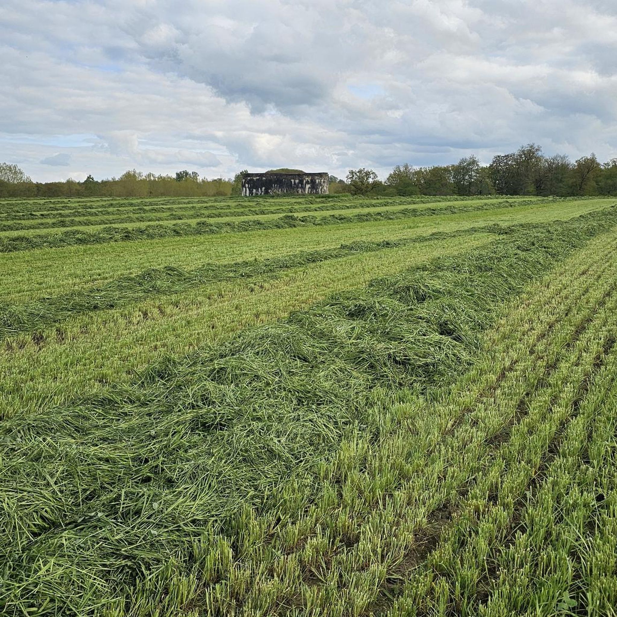
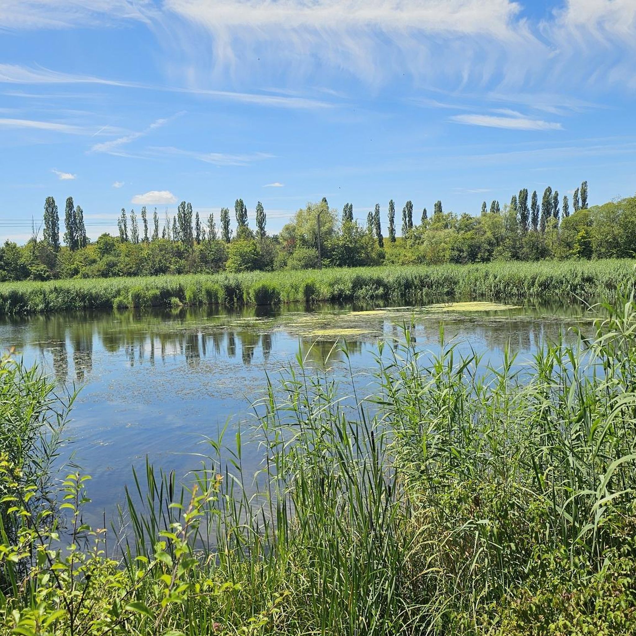
The jogging routes around Bischdorf offer varied terrain suitable for different running preferences. While specific details for each trail vary, you can expect a network of paths that allow for exploration of the local surroundings at a steady pace.
Are there any easy running routes for beginners or casual jogs?
Yes, Bischdorf offers several easy running routes. For example, the Running loop from Grostenquin is an easy 4.3 km (2.7 miles) trail that takes approximately 27 minutes to complete, perfect for a casual jog.
What do other runners think about the trails in Bischdorf?
The running routes in Bischdorf are highly rated by the komoot community, with an average score of 4.2 stars from over 14 reviews. More than 1400 runners have used komoot to explore the varied terrain, often praising the accessible routes and diverse distances available.
Are there any longer or more challenging running routes for experienced runners?
Yes, for those seeking a greater challenge, Bischdorf offers several longer and more difficult running routes. An example is the Ouvrage de Téting loop from Teting, a moderate 13.4 km (8.3 miles) trail with significant elevation changes, typically completed in about 1 hour 27 minutes.
Can I find circular running routes in the Bischdorf area?
Many of the running routes around Bischdorf are designed as loops, offering convenient circular paths. This allows you to start and finish your run at the same point, making planning easier. The Grand Bois loop from Harprich is a popular circular option.
Are there any interesting landmarks or attractions near the running trails?
While there are no specific highlights directly on the running trails, the area around Bischdorf features several interesting attractions. You might consider visiting the Saint-Nabor Abbey Church of Saint-Avold or exploring parts of the historic Maginot Line. These are located nearby and can be explored before or after your run.
What is the typical duration for a running route in Bischdorf?
The duration of running routes in Bischdorf varies significantly depending on the trail's length and difficulty. You can find shorter routes like the Running loop from Grostenquin which takes about 27 minutes, or longer ones such as the Running loop from Lixing-lès-Saint-Avold, which typically takes around 1 hour 22 minutes.
Are the running routes around Bischdorf suitable for different fitness levels?
Absolutely. The running routes around Bischdorf are designed to accommodate a wide range of fitness levels. With 15 easy, 90 moderate, and 22 difficult routes, you can easily find a trail that matches your experience and desired challenge.
How can I find the best running route for my preferences in Bischdorf?
Komoot provides detailed information for each running route around Bischdorf, including distance, elevation, estimated duration, and difficulty ratings. You can browse the available routes to find one that perfectly suits your preferences for length, challenge, and scenery.
What are some of the most popular running trails in the Bischdorf region?
Among the most popular running trails are the Grand Bois loop from Harprich, a moderate 8.3 km (5.2 miles) route, and the Wederbesch – Bois de Bonhouse loop from Vahl-lès-Faulquemont, a moderate 9.8 km (6.1 miles) path. These are highly favored by local runners for their consistent and varied running experiences.
Most popular attractions around Bischdorf

Get inspired with the komoot mobile app


Explore more
Browse the best Running Trails & Routes in other regions.
