The best walks and hikes around Arenshausen
4.6
(8438)
26,891
hikers
20
hikes
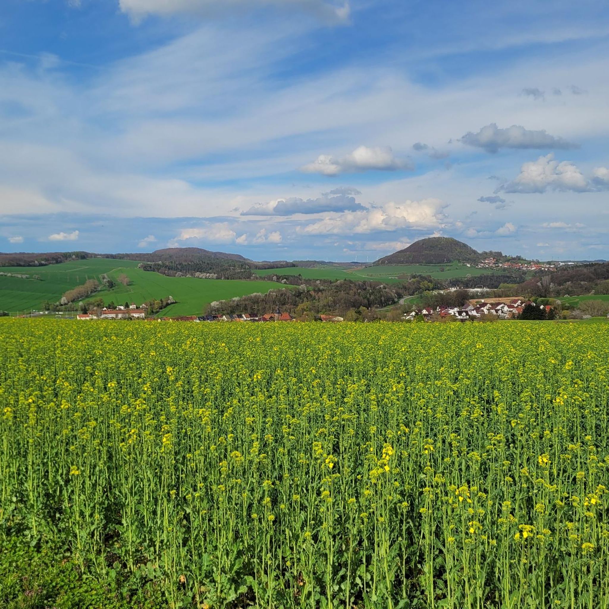
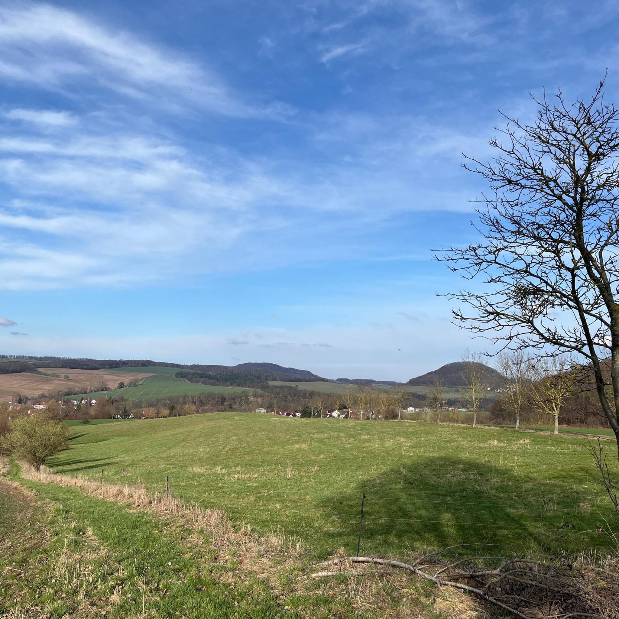
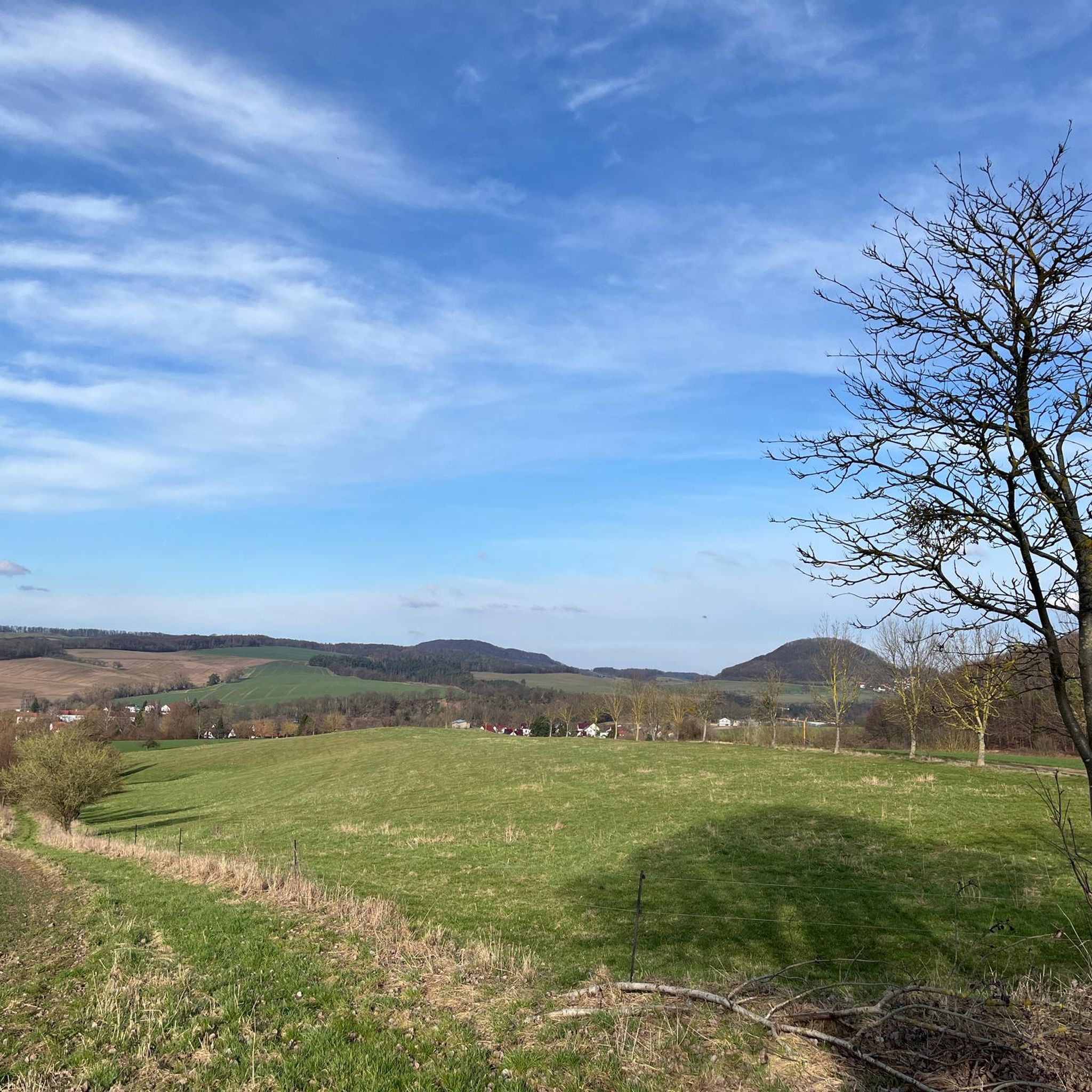
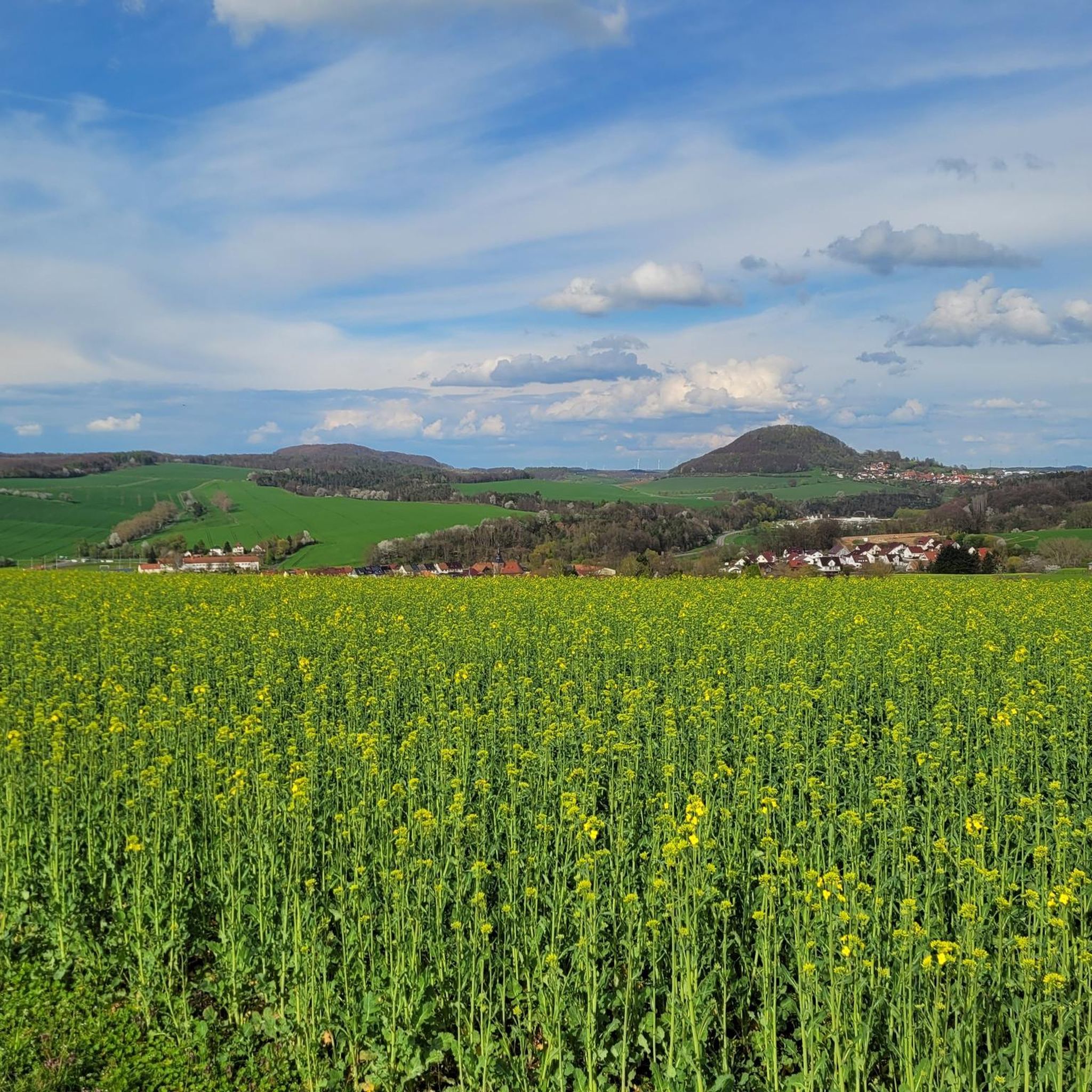
Hiking around Arenshausen offers a diverse landscape characterized by river valleys, rolling hills, and wooded areas. The region features natural rock formations and cultural landmarks, providing varied terrain for outdoor activities. Trails often follow historical paths and offer views over the surrounding countryside. The area's topography includes moderate elevation changes, making it suitable for a range of hiking experiences.
Best hiking trails around Arenshausen
- The most popular hiking route is Rustebach Rock Formation – Rustebach Valley loop from Arenshausen, a 5.5 miles (8.9 km) trail that takes 2 hours 28 minutes to complete. This route explores the Rustebach Valley and its distinctive rock formations.
- Another top favourite among local hikers is Rittergut Besenhausen – Gut Besenhausen loop from Arenshausen, a moderate 7.7 miles (12.4 km) path. This trail leads through the scenic surroundings of the Rittergut Besenhausen estate.
- Local hikers also love the View of Marth – Rustebach Valley loop from Arenshausen, a 6.8 miles (11.0 km) trail leading through the Rustebach Valley with scenic viewpoints, often completed in about 3 hours 6 minutes.
- Hiking around Arenshausen is defined by river valleys, wooded sections, and cultural landscapes. The network offers options for different ability levels, from easy walks to more challenging routes.
- The routes in Arenshausen are highly rated by the komoot community with an average score of 4.6 stars from over 1800 reviews. More than 7000 hikers have used komoot to explore Arenshausen's varied terrain.
Last updated: October 8, 2026
4.7
(10)
33
hikers
8.95km
02:29
160m
160m
Moderate hike. Good fitness required. Easily-accessible paths. Suitable for all skill levels.
5.0
(9)
27
hikers
12.6km
03:30
240m
240m
Moderate hike. Good fitness required. Easily-accessible paths. Suitable for all skill levels.

4.9
(14)
16
hikers
10.9km
03:06
240m
240m
Moderate hike. Good fitness required. Easily-accessible paths. Suitable for all skill levels.
4.4
(7)
30
hikers
6.27km
01:43
90m
90m
Easy hike. Great for any fitness level. Easily-accessible paths. Suitable for all skill levels.
5.0
(4)
12
hikers
7.56km
02:02
100m
100m
Moderate hike. Good fitness required. Easily-accessible paths. Suitable for all skill levels.
Get access to more routes and recommendations from other explorers.
Already have an account?
Our route recommendations are based on thousands of hikes, rides, and runs completed by other people on komoot.
Start today with a free account
Your next adventure awaits.

Tips from the Community

The sandstone occurrences extend as far as Göttingen
0
0
It can be done easily.
0
0
A very nice spot above the Heidkopf tunnel
1
0

Pilgrim's path, beautiful uphill from Kirchgandern up to the chapel.
0
0


Historically interesting locally. Unfortunately, no one seems to be interested in the Sielmann Foundation's information board. We have already cleaned it 2 or 3 times to make it readable and at the same time at the expense of our drinking water. What a pity.🖐
1
1

Great highlight and resting place under the stone
0
0
A brilliant place for a rest.
0
0
Frequently Asked Questions
How many hiking trails are available around Arenshausen?
Arenshausen offers a diverse network of nearly 20 hiking trails. These routes vary in difficulty, providing options for different experience levels, from easy strolls to more challenging treks.
What do other hikers enjoy most about hiking in Arenshausen?
The komoot community highly rates the hiking experience in Arenshausen, with an average score of 4.6 stars from over 1800 reviews. Hikers often praise the varied terrain, including river valleys and wooded sections, as well as the scenic viewpoints and cultural landmarks found along the routes.
Are there easy hikes suitable for beginners or families in Arenshausen?
Yes, Arenshausen has several easy hiking options perfect for beginners or families. One such route is the Restaurant zur Krone – Arenshausen loop from Arenshausen, which is just over 6 km long and features moderate elevation changes, making it a pleasant and manageable walk.
Are there any challenging hikes in Arenshausen for experienced hikers?
While many routes are moderate, Arenshausen also offers a couple of more challenging options for experienced hikers. These trails typically feature greater elevation changes and longer distances, providing a more strenuous workout amidst the region's natural beauty.
What kind of natural attractions can I see along the hiking trails?
The region around Arenshausen is rich in natural beauty. You can explore impressive geological features like the Buntsandstein Cliffs and the Grauwacke Cliffs in Dohlsbachtal. The Rustebach Valley Trail also offers scenic views and distinctive rock formations.
Are there circular walks available around Arenshausen?
Many of the hiking routes around Arenshausen are designed as circular walks, allowing you to start and end at the same point. For example, the popular Rittergut Besenhausen – Gut Besenhausen loop from Arenshausen takes you through scenic surroundings and brings you back to your starting point.
What cultural landmarks or points of interest can be found near the trails?
Beyond natural sights, hikers can discover cultural landmarks. The Hanstein Family Cemetery – Picnic Area Under the Rock loop from Arenshausen offers a glimpse into local history. Additionally, the nearby Historic half-timbered old town of Bad Sooden-Allendorf is a notable attraction worth visiting.
Are the hiking trails in Arenshausen dog-friendly?
Most hiking trails in Arenshausen are dog-friendly, allowing you to enjoy the beautiful scenery with your canine companion. It's always recommended to keep dogs on a leash, especially in nature reserves or near livestock, and to carry waste bags to maintain the cleanliness of the trails.
How long do hikes around Arenshausen typically take?
Hikes around Arenshausen vary in length and duration. Shorter, easier routes can be completed in about 1.5 to 2 hours, while moderate trails like the View of Marth – Rustebach Valley loop from Arenshausen typically take around 3 hours. Longer routes can extend to 4 hours or more, depending on your pace and stops.
Is public transport available to reach hiking trailheads in Arenshausen?
Arenshausen is connected by local public transport, which can provide access to various points in the region. While specific trailhead access might require some planning, checking local bus or train schedules for Arenshausen and surrounding villages is advisable to find the most convenient starting points for your hike.
Are there viewpoints offering panoramic views in the Arenshausen area?
Yes, the region's rolling hills and river valleys provide several excellent viewpoints. The Teufelskanzel is a well-known viewpoint offering expansive vistas over the surrounding landscape, and many trails incorporate scenic overlooks.
What is the best time of year to go hiking in Arenshausen?
The best time to hike in Arenshausen is generally from spring through autumn (April to October). During these months, the weather is usually mild and pleasant, and the natural landscape is vibrant. Spring brings blooming flora, while autumn offers beautiful fall foliage. Winter hiking is possible, but conditions can be colder and trails may be icy or muddy.
Most popular routes around Arenshausen
Most popular attractions around Arenshausen

Get inspired with the komoot mobile app


Explore more
Browse the best Hikes in other regions.
