The best road cycling routes around Varennes-Saint-Sauveur
4.4
(43)
660
riders
140
rides
Road cycling routes around Varennes-Saint-Sauveur traverse a landscape characterized by forests and agricultural areas within the Bresse Louhannaise region of eastern France. The commune features an elevation ranging from approximately 182 to 219 meters above sea level, with several rivers such as the Sevron, Solnan, and Sâne Morte. The terrain primarily consists of rural roads suitable for cycling, offering a mix of flat sections and gentle ascents.
Best road cycling routes around Varennes-Saint-Sauveur
- The most popular road cycling route is…
Last updated: July 11, 2026
22
riders
13.8km
00:38
90m
90m
Easy road ride. Great for any fitness level. Mostly well-paved surfaces and easy to ride.
5.0
(1)
8
riders
54.5km
02:48
800m
800m
Moderate road ride. Good fitness required. Mostly well-paved surfaces and easy to ride.

Sign up for free
3.0
(1)
8
riders
44.4km
02:08
530m
530m
Moderate road ride. Good fitness required. Some segments of this route may be unpaved and difficult to ride.
3.0
(1)
7
riders
46.1km
02:11
530m
530m
Moderate road ride. Good fitness required. Mostly well-paved surfaces and easy to ride.
4.0
(1)
1
riders
80.0km
03:50
730m
730m
Moderate road ride. Good fitness required. Some segments of this route may be unpaved and difficult to ride.
Get access to more routes and recommendations from other explorers.
Sign up for free
Already have an account?
Our route recommendations are based on thousands of hikes, rides, and runs completed by other people on komoot.
Start today with a free account
Your next adventure awaits.
Login or Signup
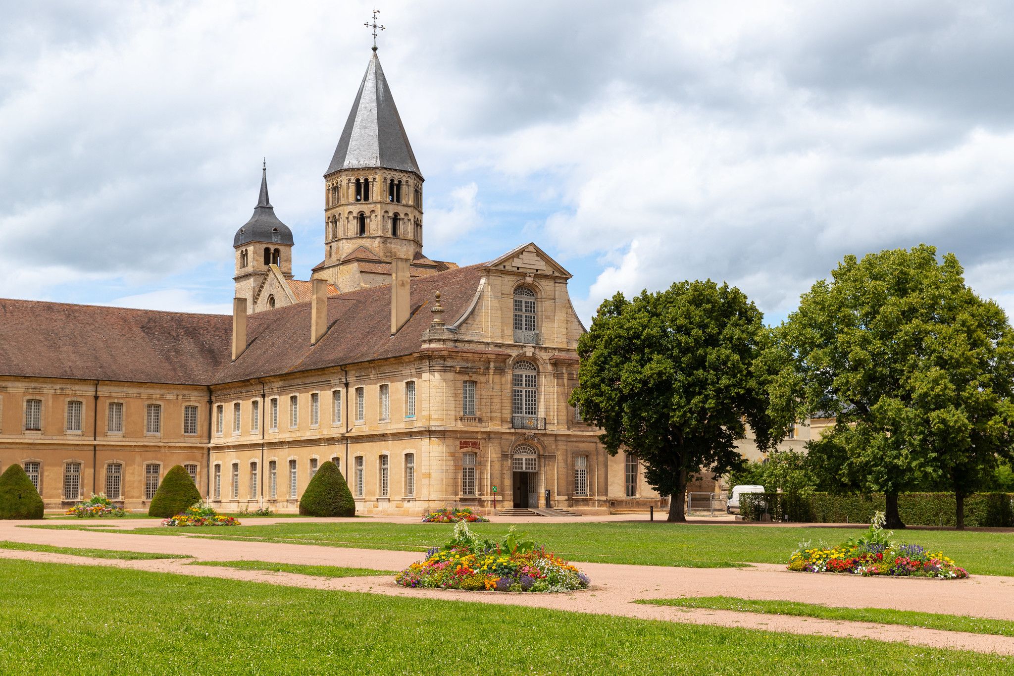
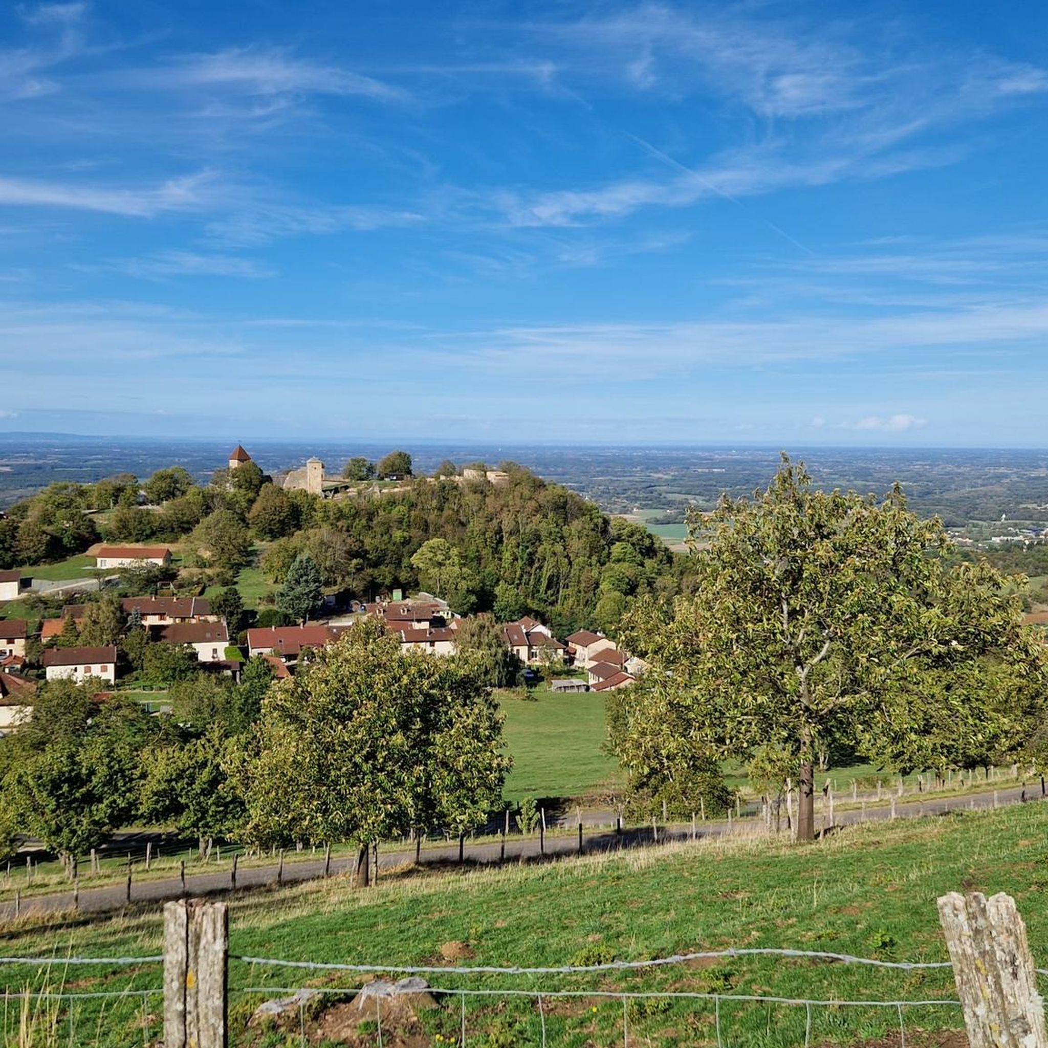
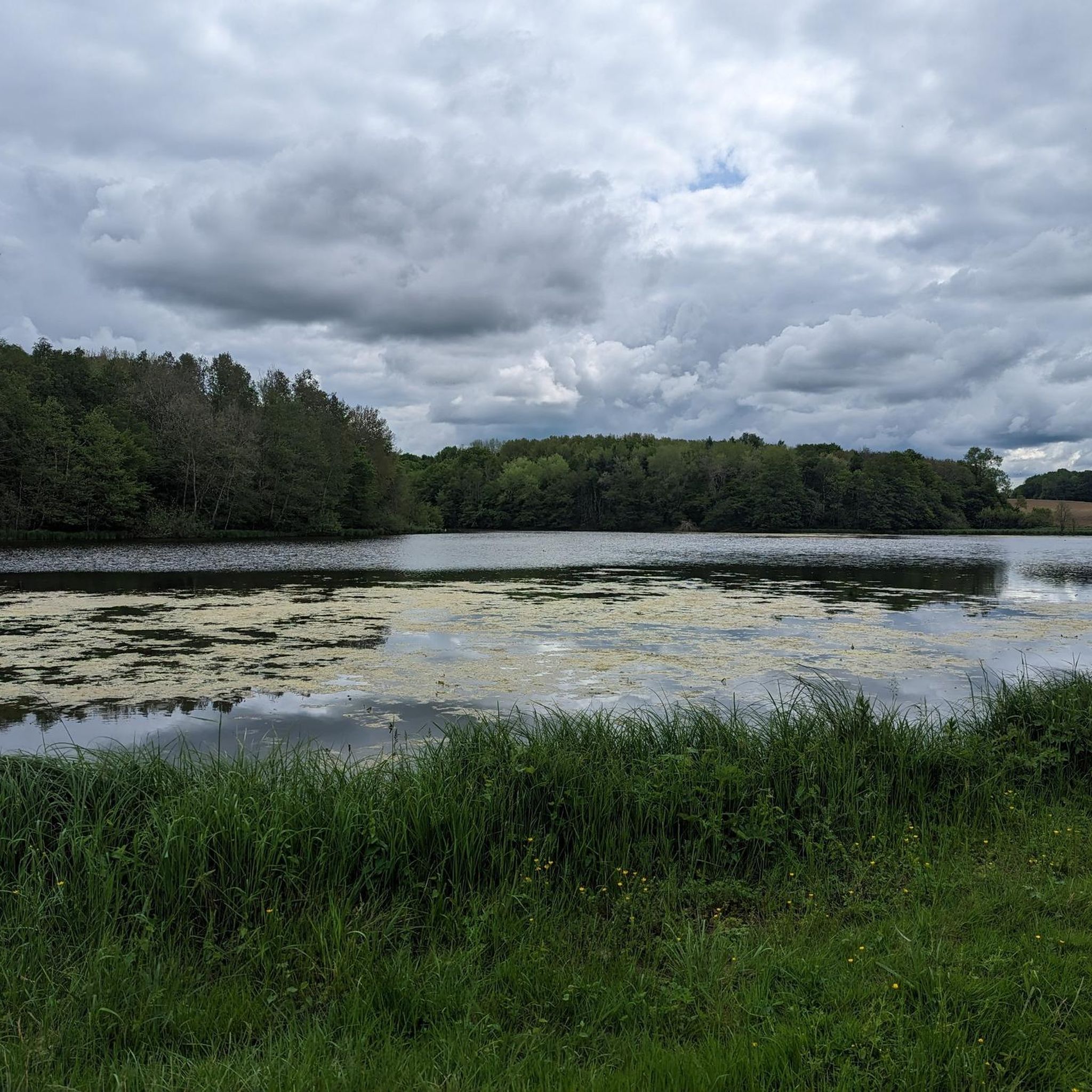
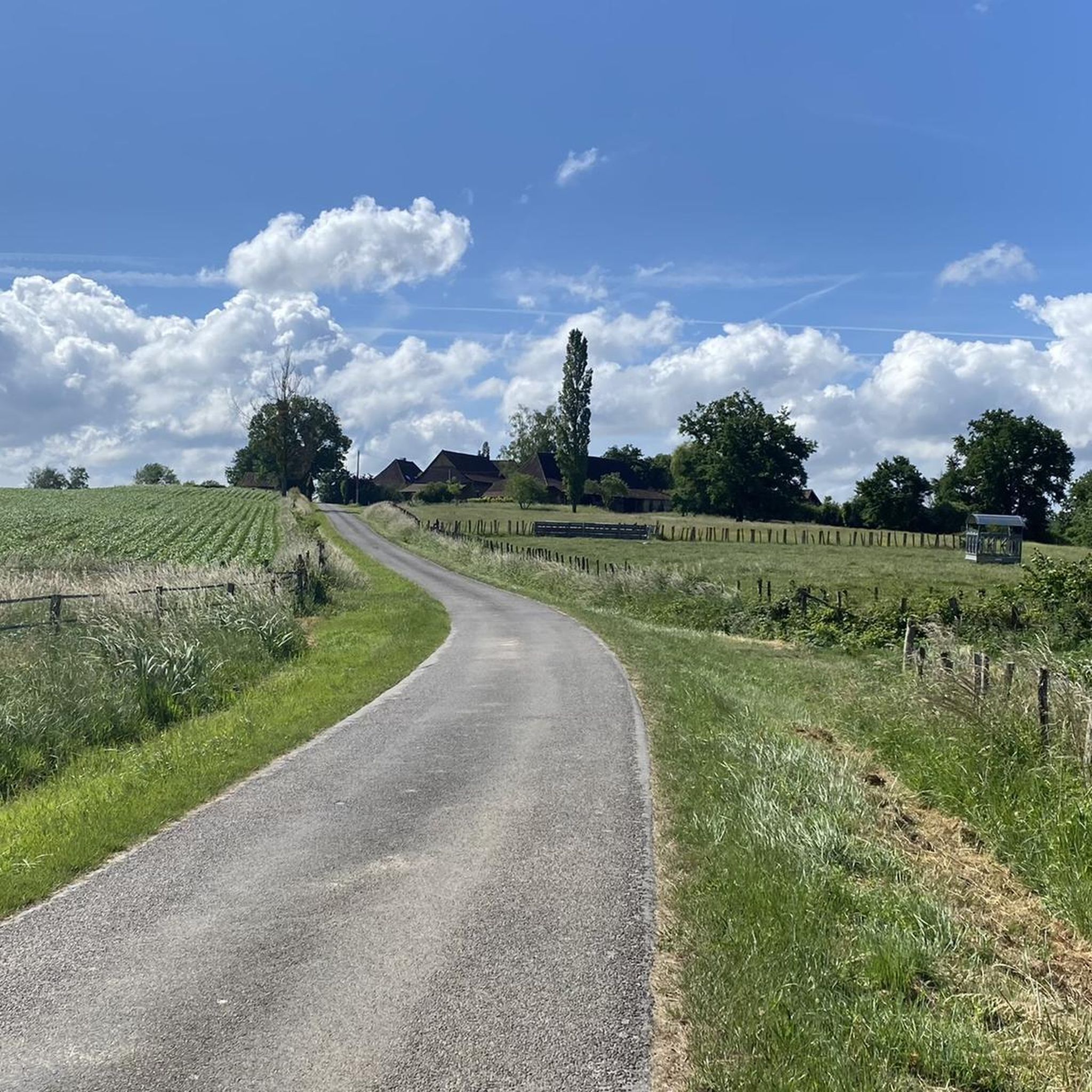

Other adventures around Varennes-Saint-Sauveur

Tips from the Community


The Roman roads of Revermont make it possible to make the connection between various cities and nearby ancient agglomerations (Bourg-en-Bresse, Coligny, Lons-le-Saunier). Difficult to date and little studied, this building was the subject of a vast restoration campaign in the 1980s carried out by volunteers, which today allows us to walk in the footsteps of our ancestors. You can discover the traces left by the passage of wheels in the cobblestones and enjoy the shaded path that leads to the Montagna belvedere.
0
0
The Montagna belvedere site benefits from secure development as well as a landscaped reading table. It offers a beautiful view of the village and Bresse.
0
0
Frequently Asked Questions
How many road cycling routes are available around Varennes-Saint-Sauveur?
There are over 130 road cycling routes available around Varennes-Saint-Sauveur, offering a wide range of options for different skill levels and preferences.
What kind of terrain can I expect on road cycling routes in Varennes-Saint-Sauveur?
The terrain around Varennes-Saint-Sauveur is characterized by rural roads, agricultural fields, and river crossings within the Bresse Louhannaise region. You'll find a mix of flat sections and gentle ascents, with elevations ranging from approximately 182 to 219 meters above sea level.
Are there easy road cycling routes suitable for beginners or families?
Yes, Varennes-Saint-Sauveur offers a good selection of easy routes. For instance, the Rippe des Pommiers loop from Varennes-Saint-Sauveur is an easy 8.7-mile (13.9 km) trail that provides a gentle ride through the local rural landscape, perfect for beginners or a relaxed family outing. There are 42 easy routes in total.
Can I find more challenging road cycling routes with significant climbs?
While Varennes-Saint-Sauveur is generally known for gentle ascents, some routes offer more varied terrain and elevation gain. The Nice view – Across the dam loop from Varennes-Saint-Sauveur, for example, features over 680 meters of elevation gain over its 30.8 miles (49.5 km), providing a more demanding ride through agricultural areas and near local waterways. There are 20 difficult routes available.
What are some scenic viewpoints or attractions along the road cycling routes?
While cycling, you can enjoy the rural scenery of the Bresse Louhannaise, characterized by forests and farming. For specific points of interest, consider routes that pass near Cuiseaux, a nearby settlement, or Louvarel Lake. You might also encounter historical sites like the Moulin de la Sâne Morte.
Are there circular road cycling routes available?
Yes, many of the road cycling routes around Varennes-Saint-Sauveur are designed as loops. Examples include the Cuiseaux – Mikasa loop from Varennes-Saint-Sauveur and the Saint Amour – Mikasa loop from Varennes-Saint-Sauveur, which offer varied terrain and views of the Bresse countryside.
What is the best time of year for road biking in Varennes-Saint-Sauveur?
The region's climate makes spring, summer, and early autumn generally pleasant for road cycling. Summer offers longer daylight hours, but spring and autumn can provide cooler temperatures and beautiful scenery as the landscape changes.
Are there options for longer road cycling tours in the area?
Absolutely. If you're looking for longer rides, routes like the Nice view – Across the dam loop from Varennes-Saint-Sauveur cover nearly 50 km (30.8 miles), offering extended time on the road through the region's agricultural landscapes and near waterways.
What do other road cyclists say about the routes in Varennes-Saint-Sauveur?
The road cycling routes in Varennes-Saint-Sauveur are highly rated by the komoot community, with an average score of 4.35 stars from over 30 reviews. Cyclists often appreciate the quiet rural roads, the mix of flat sections and gentle ascents, and the scenic agricultural views.
Are there any specific routes that pass by historical sites?
While the routes primarily focus on the natural and agricultural landscape, you might find historical elements in nearby towns or villages. The region itself is home to historical châteaux like the 19th-century Château Real and the 16th-century Château du Bouchat, which can be explored as part of a cycling trip. Consider routes that pass through or near Cuiseaux for a glimpse of local heritage.
Are there routes that are less crowded for a more peaceful ride?
Given the rural nature of Varennes-Saint-Sauveur and its focus on farming, many of the routes traverse quiet country roads. This generally means you can expect a peaceful cycling experience away from heavy traffic, allowing you to enjoy the natural surroundings without large crowds.
Most popular routes around Varennes-Saint-Sauveur
Most popular attractions around Varennes-Saint-Sauveur

Get inspired with the komoot mobile app


Explore more
Browse the best Road cycling routes in other regions.
