The best road cycling routes around Pontcarré
4.3
(403)
7,891
riders
330
rides
Road cycling around Pontcarré features a landscape characterized by gently rolling terrain, riverine scenery, and extensive forested areas. The region's altitude, ranging from 95 to 115 meters in nearby areas, indicates a generally flat to gently undulating environment ideal for road cycling. Routes often traverse green spaces and pass by local landmarks, offering varied visual elements. Surrounding natural zones, including forests like Bois Notre-Dame and forêts d'Armainvilliers et de Ferrières, provide scenic and shaded sections for cyclists.
Best road cycling routes around Pontcarré
- The most popular road cycling route is Church of Lésigny – Lesigny village square loop from Ozoir-la-Ferrière, a 27.3 miles (44.0 km) trail that takes 1 hour 49 minutes to complete. This easy route offers a relaxed ride through the local countryside.
- Another top favourite among local road cyclists is Our Lady of the Nativity – Côte de Tigeaux loop from Roissy-en-Brie, a moderate 28.6 miles (46.0 km) path. This route explores the local countryside with varied elevation changes.
- Local road cyclists also love the Bucolic bridge – Ormesson Castle loop from Roissy-en-Brie, a 22.1 miles (35.6 km) trail leading through green spaces and past local landmarks, often completed in about 1 hour 29 minutes.
- Road cycling around Pontcarré is defined by gently rolling terrain, riverine scenery along the Marne, and extensive forested areas. The network offers options for various ability levels, from easy loops to more moderate circuits.
- The routes in Pontcarré are highly rated by the komoot community with an average score of 4.3 stars from over 390 reviews. More than 7,800 road cyclists have used komoot to explore Pontcarré's varied terrain.
Last updated: July 3, 2026
4.4
(10)
133
riders
44.0km
01:49
140m
140m
Easy road ride. Great for any fitness level. Mostly well-paved surfaces and easy to ride.
65
riders
Moderate road ride. Great for any fitness level. Some segments of this route may be unpaved and difficult to ride.

Sign up for free
3.6
(5)
46
riders
35.6km
01:29
140m
140m
Easy road ride. Great for any fitness level. Mostly well-paved surfaces and easy to ride.
4.0
(2)
48
riders
Moderate road ride. Good fitness required. Mostly well-paved surfaces and easy to ride.
3.5
(2)
38
riders
32.7km
01:28
90m
90m
Easy road ride. Great for any fitness level. Mostly well-paved surfaces and easy to ride.
Get access to more routes and recommendations from other explorers.
Sign up for free
Already have an account?
Our route recommendations are based on thousands of hikes, rides, and runs completed by other people on komoot.
Start today with a free account
Your next adventure awaits.
Login or Signup

Tips from the Community

Parking at the end of rue du Marais in Favieres, along the Marsange river. Early return direct via a pedestrian, cycle, and secure path along the D10 (-2.5 km). Partially shaded route between woods and fields. Possibly trousers/insect repellent for grassy paths. And possibly slippery on rainy days.. Few people this sunny Sunday, with the singing of little birds. Tournan town center worth seeing.
0
0

Today's castle is located not far from an old building that it replaced. It was built on the initiative of Louis Picot, Lord of Santeny, and was located at the time in the village of Amboile (old name of the town). Built from 1578, The estate briefly passed into the hands of Cardinal René de Birague, who however died in 1583, and it was bought by the Marquis de Malespine. In 1598, Louis II. Picot bought the lands of Amboile from the Marquis, which he finally separated in 1619 in favor of Nicolas Le Prévost, advisor to the King at the bailiwick and presidency of Amiens. After the death of Nicolas Le Prévost in 1630, the estate passed to his widow Marie le Mairat and two years later to his son-in-law André Lefèvre d'Ormesson, who married his only daughter Anne Le Prévost on July 10, 1604. The estate then passed to the eldest of their ten children, Olivier Lefèvre d'Ormesson, who received it on the occasion of his marriage to Marie de Fourcy on July 2, 1640. She then appealed to the landscape architect André Le Nôtre around 1660 to reorganize the gardens.
0
0

beautiful track running along meadows with horses then wheat or corn fields with poppies... until Lésigny!
0
0
A large and beautiful square with a church and a café. A town with pretty houses. Quiet, very quiet, but ideal for a mid-trip break!
0
0

Small market on Saturday morning, café next to the church which seems to cook
1
0

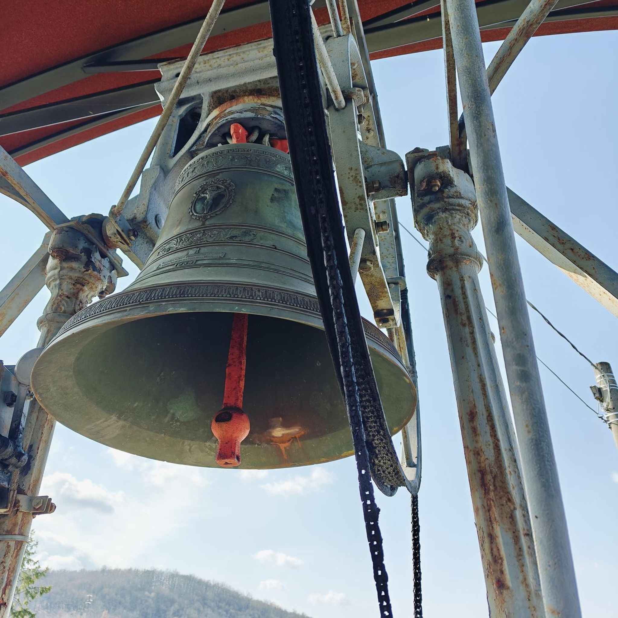
As you enter Villeneuve-Le-Comte, you will come across the historic Church of Notre-Dame de la Nativité. This impressive Romanesque church, dating back to the 12th century, has a stunning Romanesque façade and a beautifully preserved interior. As you explore the church, you will be captivated by the intricate stone carvings, colorful stained glass windows, and peaceful atmosphere.
1
0

This former ruined 13th century castle was extensively renovated in the 20th century. Today it is a reception venue.
0
1

Small square serving as a meeting place for many cyclists opposite the church and next to a small fountain
0
0
Frequently Asked Questions
What is the general terrain like for road cycling around Pontcarré?
Road cycling around Pontcarré is characterized by gently rolling terrain, with altitudes in nearby areas typically ranging from 95 to 115 meters. This makes for enjoyable rides without overly challenging climbs, suitable for various skill levels. You'll often find yourself traversing green spaces, riverine scenery along the Marne, and extensive forested areas like Bois Notre-Dame and forêts d'Armainvilliers et de Ferrières.
How many road cycling routes are available in the Pontcarré area?
There are over 300 road cycling routes around Pontcarré, offering a wide variety of options for different preferences and fitness levels. This includes 45 easy routes, 263 moderate routes, and 31 more challenging routes.
Are there road cycling routes suitable for beginners or those looking for an easy ride?
Yes, Pontcarré offers several easy road cycling routes. For example, the Church of Lésigny – Lesigny village square loop from Ozoir-la-Ferrière is an easy 44 km trail that provides a relaxed ride through the local countryside.
What kind of landmarks or points of interest can I see along the road cycling routes?
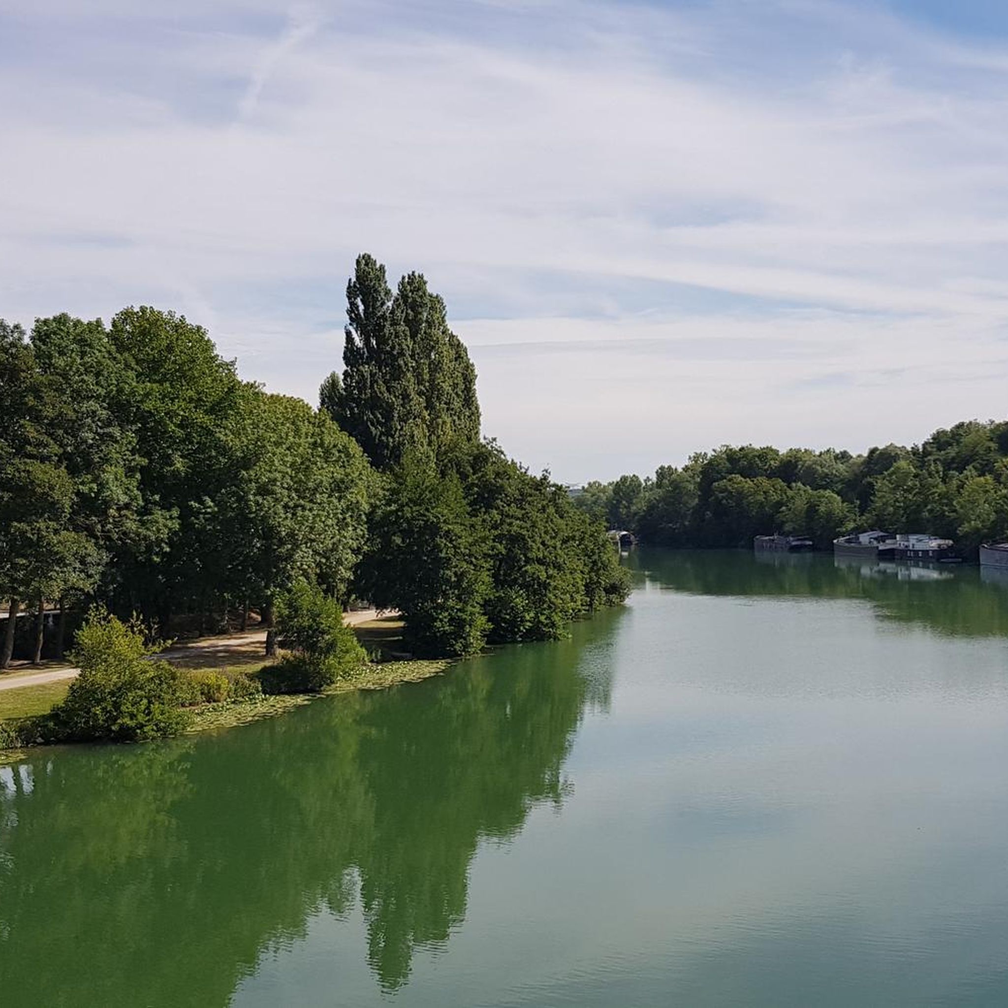
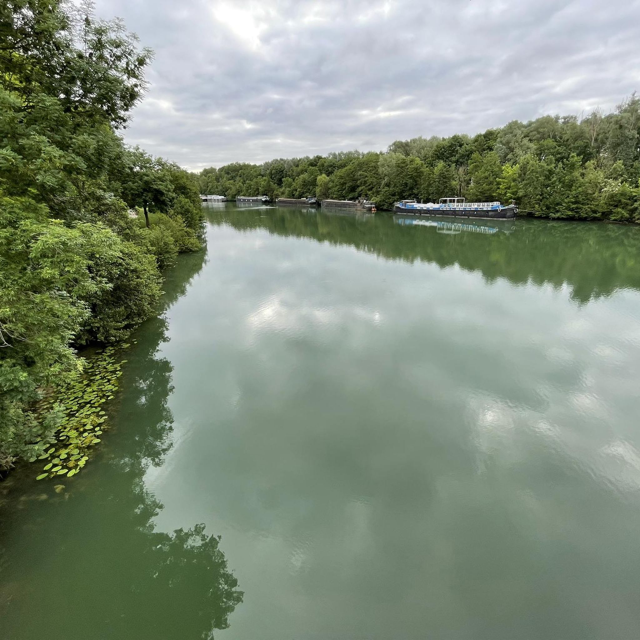
Many routes offer scenic views and pass by interesting landmarks. You might encounter riverine scenery, such as the charming Moulin footbridge over the Marne River or the Chelles dam. The Marne Statues Park, with its monumental sculptures, is another unique attraction visible from some routes. Additionally, you could pass by historical sites like Champs-sur-Marne Castle.
Are there any routes that explore the local countryside with varied elevation changes?
Yes, for those seeking a moderate challenge with varied elevation, the Our Lady of the Nativity – Côte de Tigeaux loop from Roissy-en-Brie is a popular choice. This 46 km route explores the local countryside with some undulating sections.
What do other road cyclists think about the routes in Pontcarré?
The road cycling routes in Pontcarré are highly rated by the komoot community, with an average score of 4.3 stars from over 390 reviews. More than 7,800 road cyclists have used komoot to explore the varied terrain, often praising the scenic beauty and accessibility of the routes.
Are there any longer road cycling routes for more experienced riders?
Yes, for longer rides, consider routes like the Chateau du Vivier – Our Lady of the Nativity loop from Ozoir-la-Ferrière. This moderate route spans over 113 km, offering a substantial ride through the region.
What is the best time of year to go road cycling in Pontcarré?
The region's climate generally makes spring, summer, and early autumn ideal for road cycling. These seasons typically offer pleasant temperatures and less rainfall, allowing for comfortable rides through the scenic landscapes and forested areas.
Are there any road cycling routes that pass by castles or historical sites?
Yes, some routes will take you past historical landmarks. For instance, the Bucolic bridge – Ormesson Castle loop from Roissy-en-Brie is a 35.6 km trail that leads through green spaces and past local landmarks, including the vicinity of Ormesson Castle.
Can I find routes that offer a mix of natural beauty and cultural sights?
Absolutely. Pontcarré's routes often combine natural beauty with cultural elements. You can enjoy river views, pass through lush forests, and also encounter attractions like the Marne Statues Park, providing a rich and varied cycling experience.
Are there any specific routes that are particularly good for exploring the forested areas?
Many routes around Pontcarré traverse or border extensive forested areas such as Bois Notre-Dame and forêts d'Armainvilliers et de Ferrières. These offer shaded sections and scenic views, providing a refreshing experience, especially on warmer days. While specific routes are not named for these forests, many of the available tours will lead you through these green corridors.
What are the options for parking when planning a road cycling trip in Pontcarré?
While specific parking locations for each route are not detailed, Pontcarré and its surrounding communes are generally accessible by car. Look for public parking areas in towns like Ozoir-la-Ferrière or Roissy-en-Brie, which serve as common starting points for many routes.
Most popular attractions around Pontcarré

Get inspired with the komoot mobile app


Explore more
Browse the best Road cycling routes in other regions.
