Châteauneuf-Villevieille
Châteauneuf-Villevieille
The best MTB trails around Châteauneuf-Villevieille
4.2
(345)
3,005
riders
198
rides
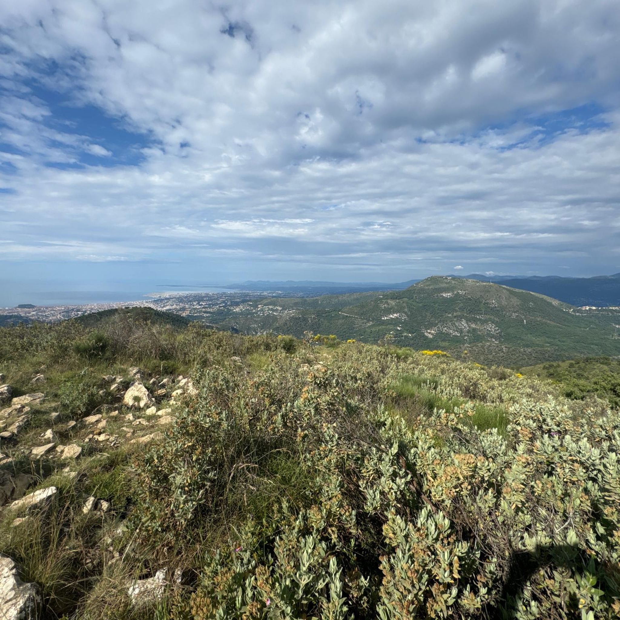
Mountain bike trails around Châteauneuf-Villevieille are situated in the Alpes-Maritimes region, offering diverse landscapes for cycling. The area is characterized by its position on the slopes of Mont Férion, with elevations ranging from 234m to 901m. Riders can expect routes through Mediterranean forests, olive groves, and woodlands, often providing views of the Mediterranean Sea to the south and the Alps to the north. The terrain includes ascents to points like Mont Macaron and passes such as Col de Châteauneuf.
Best…
Last updated: June 30, 2026
4.7
(7)
20
riders
12.0km
01:23
320m
320m
Hard mountain bike ride. Good fitness required. Advanced riding skills necessary. Some portions of the route may require you to push your bike.
4.3
(3)
20
riders
26.4km
02:37
780m
790m
Moderate mountain bike ride. Good fitness required. Advanced riding skills necessary.

Sign up for free
18
riders
27.0km
02:45
820m
830m
Moderate mountain bike ride. Good fitness required. Advanced riding skills necessary.
5.0
(6)
13
riders
Easy mountain bike ride. Great for any fitness level. Suitable for all skill levels.
4.0
(2)
17
riders
31.1km
02:51
850m
850m
Moderate mountain bike ride. Good fitness required. Advanced riding skills necessary.
Get access to more routes and recommendations from other explorers.
Sign up for free
Already have an account?
Our route recommendations are based on thousands of hikes, rides, and runs completed by other people on komoot.
Start today with a free account
Your next adventure awaits.
Login or Signup
Tips from the Community


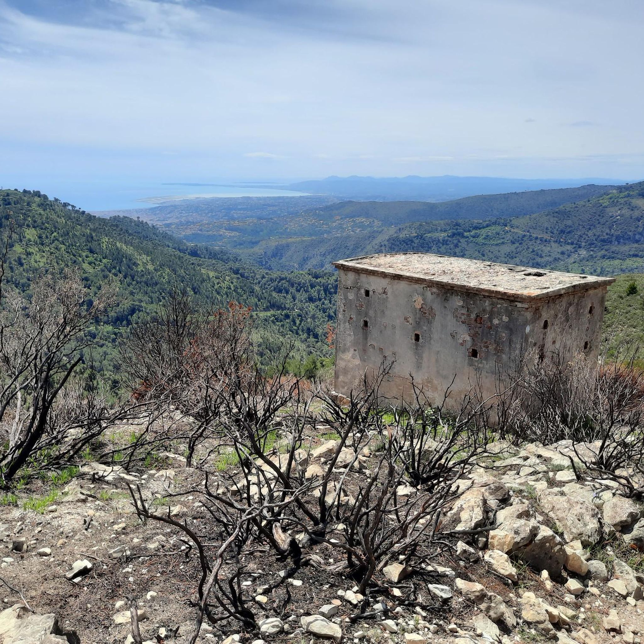
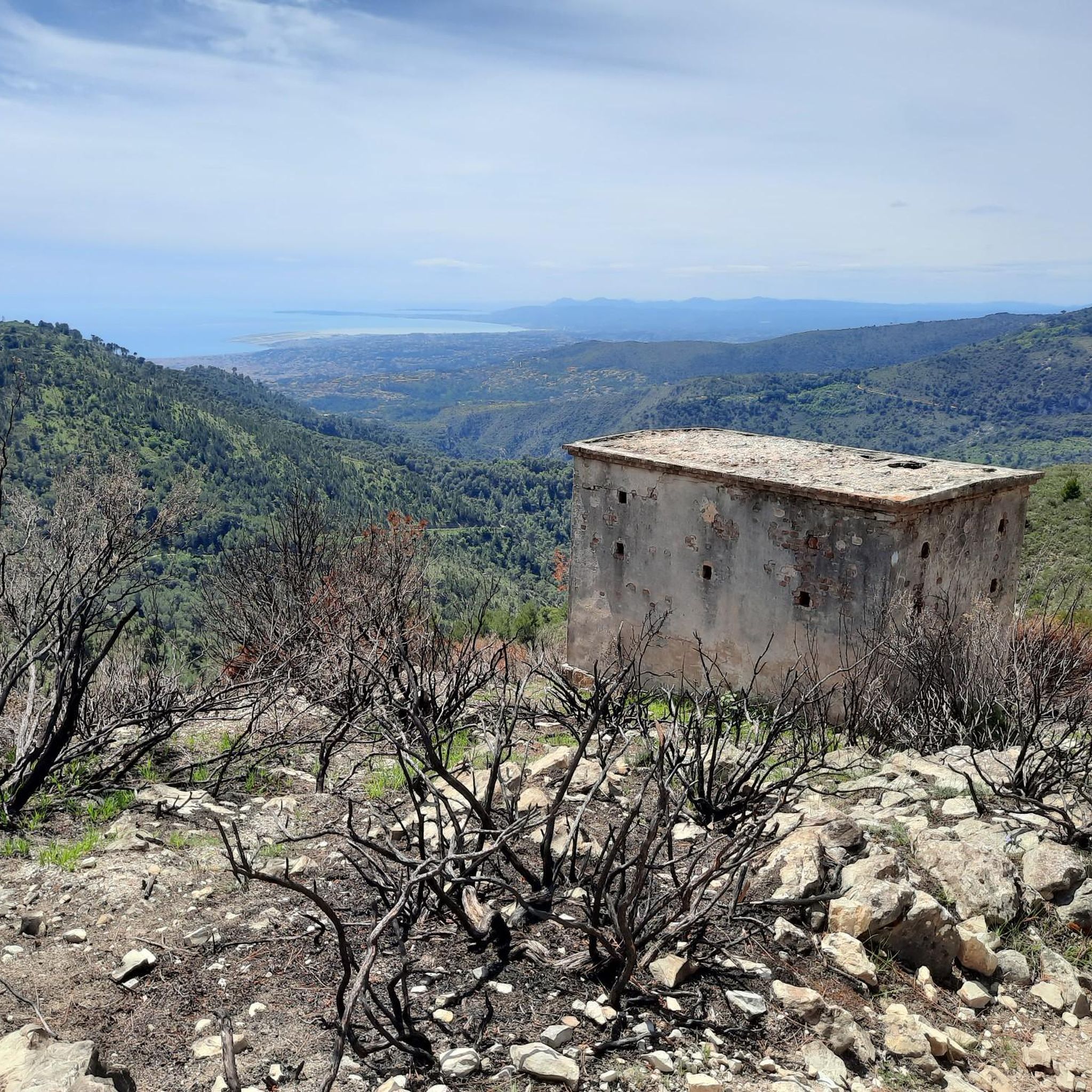
Easy historical and botanical walk, you will discover there before or after the ruins of Chateauneuf Villevieille, a beautiful panorama, once arrived on the mount Macaron.
2
0

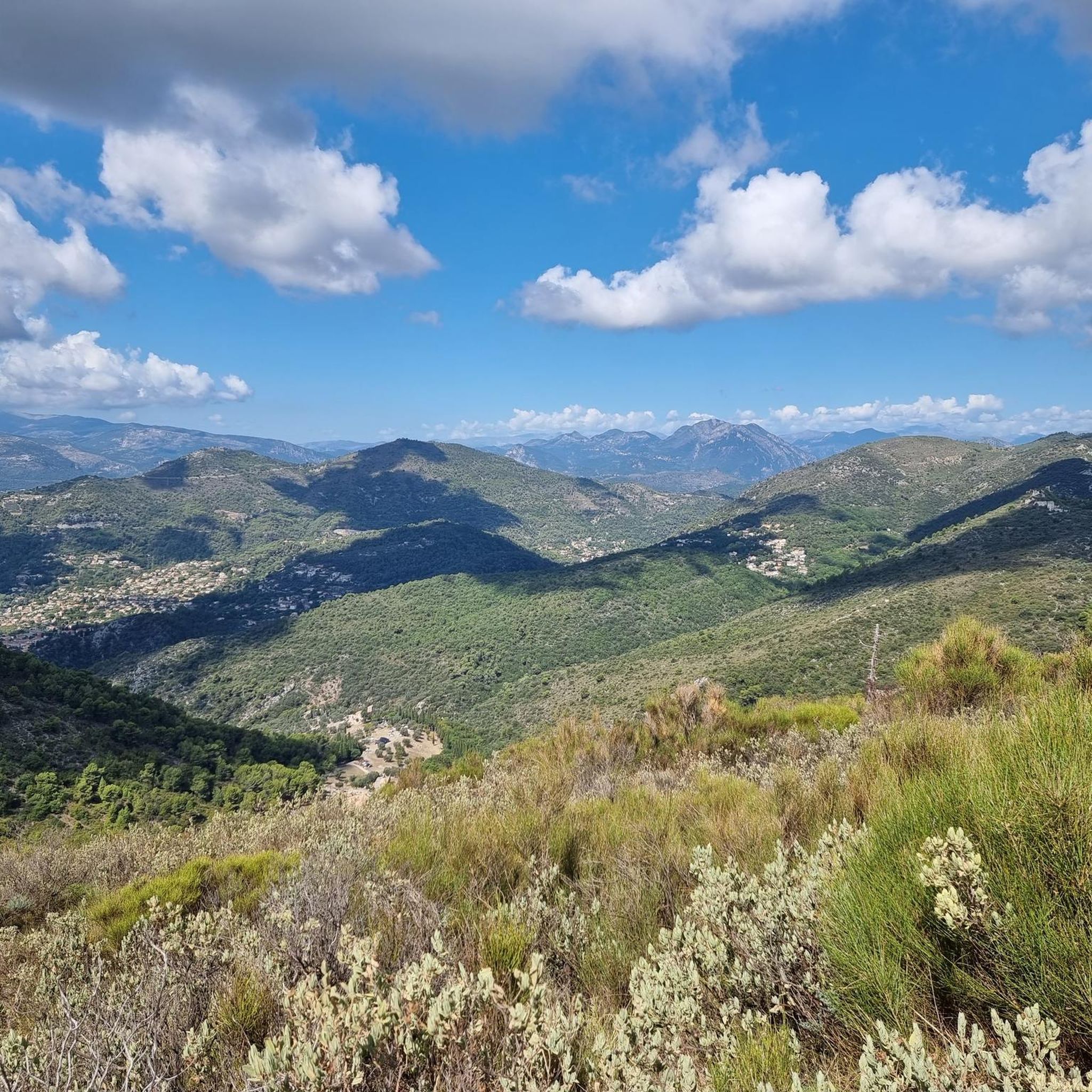
Village which dominates the valleys of the Var and the Vésubie, with a very beautiful panorama on the Cap d'Antibes and the Islands of Lérins.
1
0

L'Escarène is undoubtedly the ideal starting point for cycling in the Paillon valley. Accessible from Nice by train, bus or car, whether you are mountain biking, road or gravel there is necessarily an itinerary for you. By mountain bike you will find your pleasure in the "nursery". A hive of trails for all levels. Want D+? Direction the Col de Braus for a descent clearly typed enduro. (between 20 and 30 km for 1000 D+) Fancy a nice hike? Direction Roccaspaviera to enjoy what is in my opinion the prettiest view of the whole Paillon valley. (Between 35 and 40 km for 1500 D+) For Gravel lovers, you can discover our tracks that will allow you to connect Sospel, Peille, Levens or even for the bravest the Roya valley and the famous salt road. Finally, if you prefer mountain roads, you can take advantage of the training ground for cyclists from the biggest professional teams and why not meet them and share a few kilometers with them? At the foot of the famous Col de Braus and Col de Turini, whether it is a stopover on your route or the starting point of your journey, L'Escarène will allow you to reach the Vésubie valley or the Bévéra valley. As you would have understood, L'Escarène is a meeting point for many cyclists, whether they are amateurs, professionals, enthusiasts or curious to discover a new playground. Looking forward to sharing a few turns of the crank with you.
0
0

For a great photo of Escarene, jump on the bridge's sidewalk and just take it in!
0
0
Frequently Asked Questions
How many mountain bike trails are available around Châteauneuf-Villevieille?
There are nearly 200 mountain bike trails around Châteauneuf-Villevieille, offering a wide range of options for different skill levels. The region's diverse landscapes, from Mediterranean forests to higher elevations, provide varied terrain for exploration.
Are there mountain bike trails suitable for beginners or families in Châteauneuf-Villevieille?
Yes, while many routes are moderate to difficult, there are at least 10 easy mountain bike trails available. These trails often wind through picturesque Mediterranean forests and olive groves, providing a pleasant experience for less experienced riders or families.
What kind of scenic views can I expect on mountain bike trails in this region?
The trails in Châteauneuf-Villevieille offer breathtaking panoramic views. You can often see Nice, the Baie des Anges, and the sparkling Mediterranean Sea to the south, while to the north, the majestic Alps and the Mercantour massif dominate the horizon. Key viewpoints include Mont Macaron and various spots on the slopes of Mont Férion.
Are there any historical sites or landmarks to see while mountain biking?
Yes, the region is rich in history. You can explore the ancient medieval village ruins of Castel Nuovo, which date back to the 9th-12th century. Other notable historical sites and viewpoints include Fort du Mont Alban and Fort du Mont Chauve d'Aspremont, offering glimpses into the past amidst stunning natural beauty.
Can I find mountain bike routes that pass by waterfalls?
Yes, the area around Châteauneuf-Villevieille features several natural water features. You might encounter waterfalls such as Castle Waterfall, Ruisseau de Redebraus, and other smaller cascades, especially during wetter seasons.
Are there circular mountain bike routes available in Châteauneuf-Villevieille?
Many of the mountain bike routes in the area are designed as loops, allowing you to start and finish at the same point. An example is the Châteauneuf Pass – Mount Macaron loop from Châteauneuf-Villevieille, which is a challenging 29.7 km route with significant elevation gain.
What is the best time of year for mountain biking in Châteauneuf-Villevieille?
The region is suitable for mountain biking year-round, thanks to its Mediterranean climate. However, spring and autumn offer particularly pleasant temperatures and vibrant scenery. Summers can be hot, so early morning or late afternoon rides are recommended, while winters are generally mild.
What do other mountain bikers enjoy the most about mountain biking in Châteauneuf-Villevieille?
The area is highly rated by the komoot community, with an average score of 4.2 stars from over 400 reviews. Riders often praise the varied terrain, the stunning panoramic views of both the Mediterranean and the Alps, and the extensive network of trails that cater to different skill levels.
Are there any moderate mountain bike trails for intermediate riders?
Absolutely. There are over 80 moderate mountain bike trails around Châteauneuf-Villevieille. These routes provide a good balance of challenge and enjoyment, often featuring varied terrain and rewarding climbs. An example is the Col de Villevieille – Châteauneuf Pass loop from Châteauneuf-Villevieille, a 28.7 km route with a moderate difficulty rating.
What are some of the more challenging mountain bike routes in the area?
For experienced riders seeking a challenge, there are over 100 difficult mountain bike trails. These routes often involve significant elevation changes and technical sections. A popular choice is the Châteauneuf Pass – Col de Villevieille loop from Tourrette-Levens, a demanding 28.6 km path with varied terrain.
Is it possible to access the mountain bike trails using public transport?
While Châteauneuf-Villevieille is nestled in a natural setting, public transport options from nearby larger towns like Nice are available to reach the general area. However, direct access to specific trailheads might require a short ride or walk from bus stops. It's advisable to check local bus schedules for the most up-to-date information.
Where can I find parking for mountain biking in Châteauneuf-Villevieille?
Parking is generally available in and around the village of Châteauneuf-Villevieille, particularly near the Col de Châteauneuf, which serves as a common starting point for many trails. Specific parking areas may vary depending on your chosen trailhead, so it's good to plan your route in advance.
Most popular routes around Châteauneuf-Villevieille
Most popular attractions around Châteauneuf-Villevieille

Get inspired with the komoot mobile app


Explore more
Browse the best MTB trails in other regions.
