The best running trails around Saint-Vallier-De-Thiey
4.4
(121)
2,192
runners
29
runs
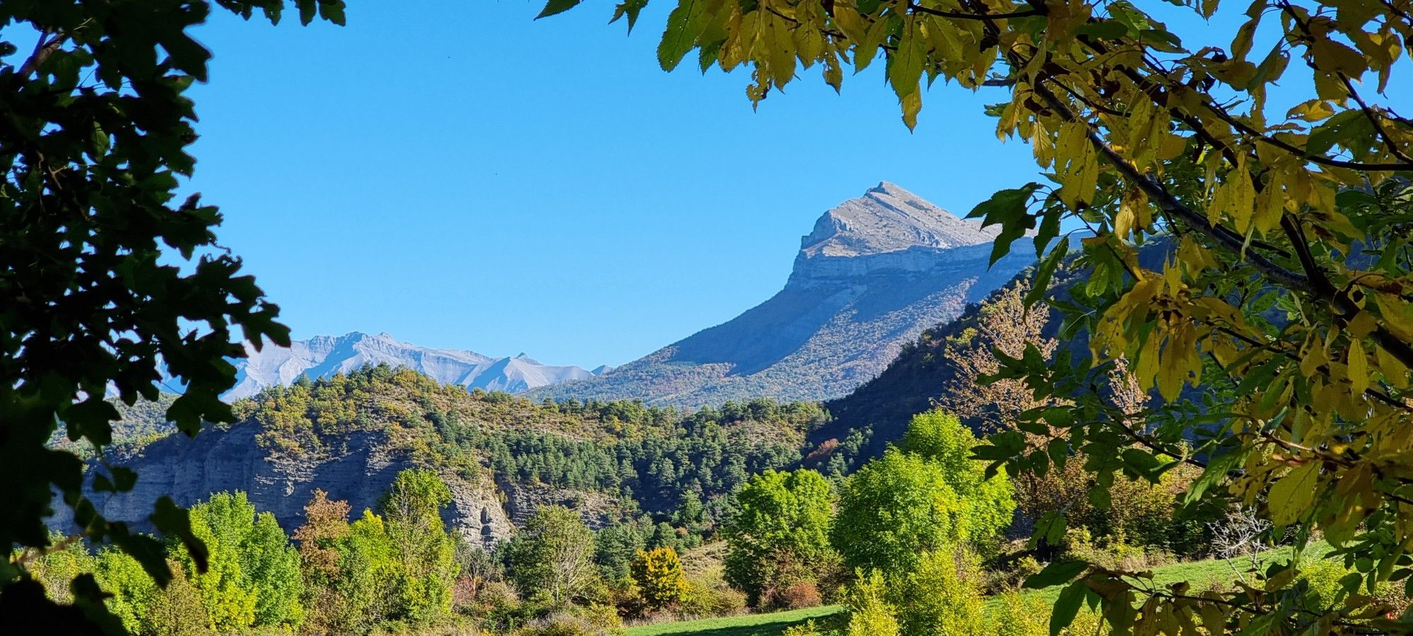
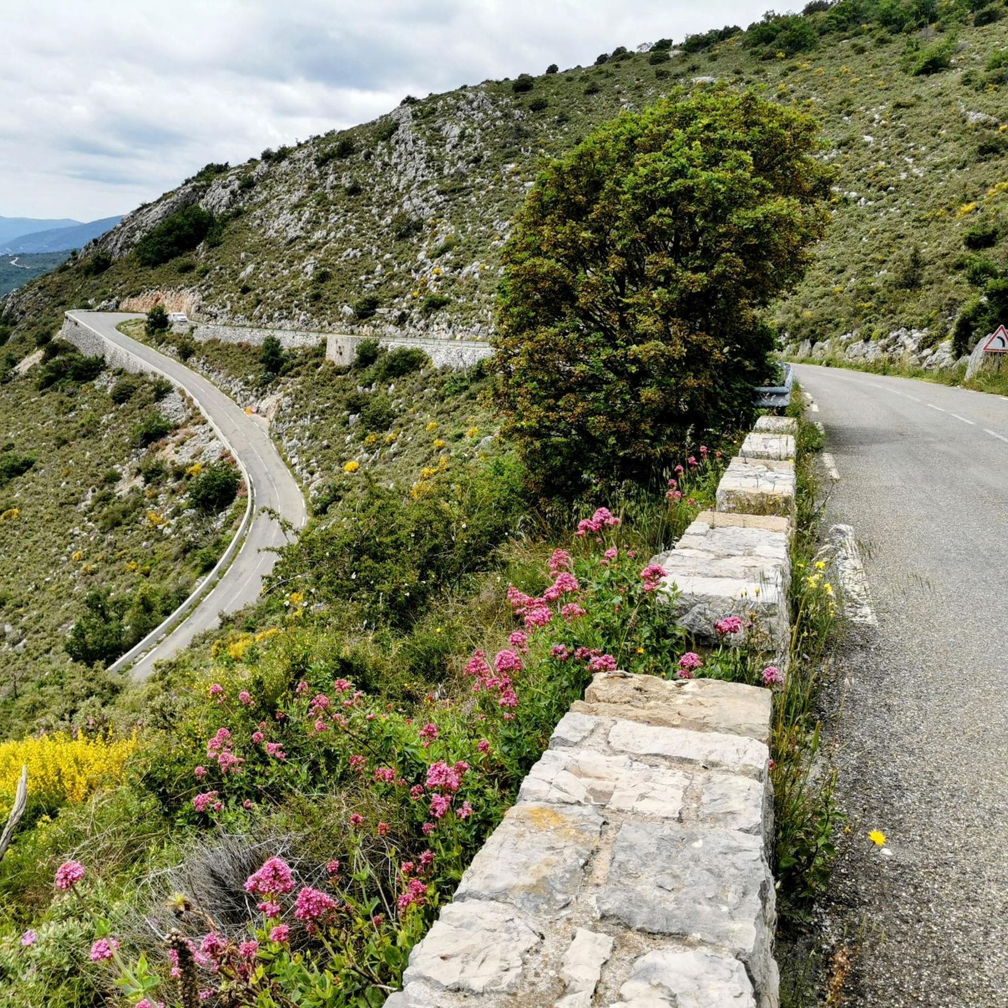
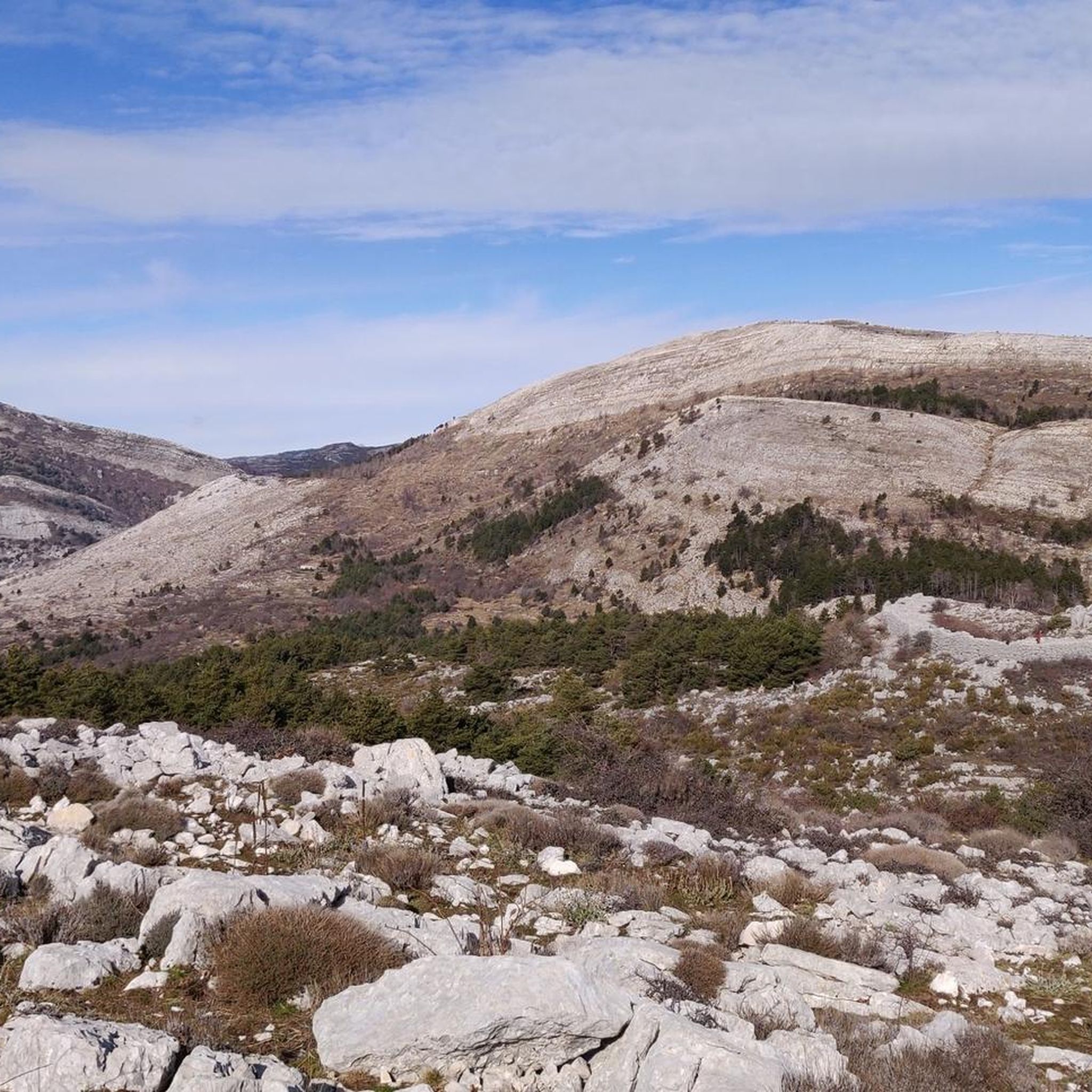
Jogging routes around Saint-Vallier-De-Thiey are situated in the Préalpes d'Azur, offering a varied landscape for runners. The region features elevated plateaus such as Calern and Malle, alongside the significant Montagne de Thiey. Trails often traverse forests of oak, pine, and beech, and follow river environments like the Siagne Gorges. This area provides a mix of challenging terrains and scenic paths.
Best jogging routes around Saint-Vallier-De-Thiey
- The most popular jogging route is Thiey Mountain Trail, a 6.7 miles (10.7 km)…
Last updated: August 17, 2026
3.0
(2)
17
runners
10.7km
01:43
620m
620m
Hard run. Very good fitness required. Mostly paved surfaces. Suitable for all skill levels.
5.0
(1)
20
runners
20.7km
03:12
1,130m
1,130m
Hard run. Very good fitness required. Mostly paved surfaces. Suitable for all skill levels.

Sign up for free
5.0
(1)
18
runners
15.9km
02:16
700m
700m
Hard run. Very good fitness required. Mostly paved surfaces. Suitable for all skill levels.
18
runners
15.8km
02:21
790m
790m
Hard run. Very good fitness required. Mostly paved surfaces. Suitable for all skill levels.
5.0
(2)
25
runners
21.8km
03:12
1,090m
1,090m
Hard run. Very good fitness required. Mostly paved surfaces. Suitable for all skill levels.
Get access to more routes and recommendations from other explorers.
Sign up for free
Already have an account?
Our route recommendations are based on thousands of hikes, rides, and runs completed by other people on komoot.
Start today with a free account
Your next adventure awaits.
Login or Signup
Other adventures around Saint-Vallier-De-Thiey

Tips from the Community

It's a fairly easy pass with beautiful scenery that opens the door to superb discoveries.
0
0


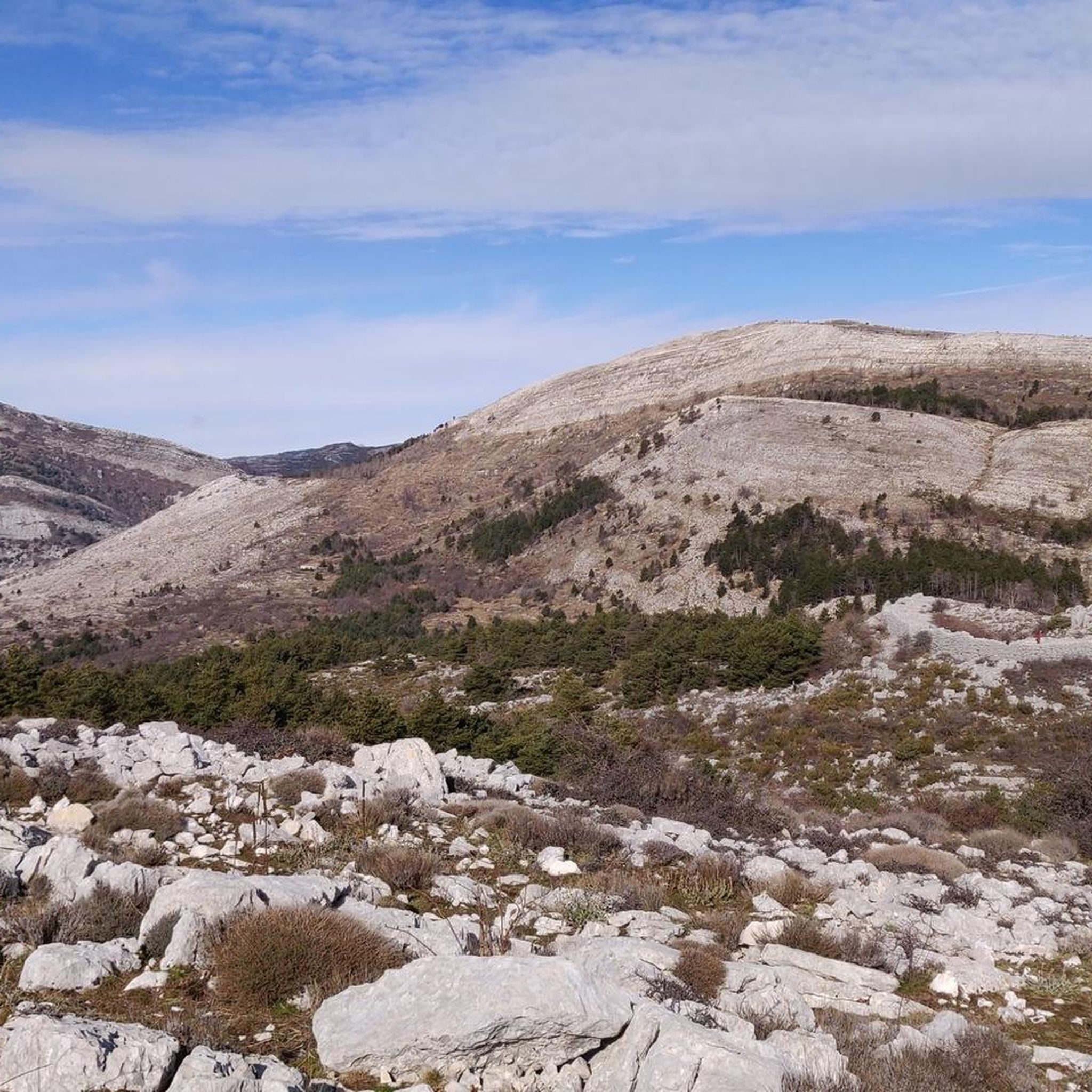
At 1553m, Mount Thiey is a place of calm and silence. Its plateau at the top gives the impression of being in a field, but if one looks south, one is greeted by a breathtaking view of the Mediterranean coastline and the sea.
4
1
Frequently Asked Questions
How many running routes are available around Saint-Vallier-De-Thiey?
There are over 25 dedicated running routes around Saint-Vallier-De-Thiey, offering a diverse range of experiences for all fitness levels. These include 13 moderate and 14 difficult trails, ensuring options for both casual jogs and challenging runs.
Are there any easy or beginner-friendly jogging routes in Saint-Vallier-De-Thiey?
While many routes in Saint-Vallier-De-Thiey feature challenging terrain, there is at least one easy route available. For beginners, it's advisable to start with routes that have less elevation gain and shorter distances. Always check the route details on komoot for specific difficulty ratings before heading out.
What kind of landscapes can I expect to see while running in Saint-Vallier-De-Thiey?
Jogging in Saint-Vallier-De-Thiey offers a rich variety of landscapes. You'll find yourself traversing lush forests of oak, pine, and beech, exploring elevated plateaus like Calern and Malle with panoramic views, and encountering mountainous ascents, particularly around the Montagne de Thiey. The region also features unique river environments such as the Siagne Gorges.
Are there any notable natural attractions or landmarks along the running trails?
Yes, several intriguing natural attractions and historical sites can be incorporated into your runs. You might encounter the Natural Bridge of Ponadieu, explore the geological formations of the Baume Obscure Cave, or discover the Iron Age prehistoric camp of Castellaras de la Malle. The area is also part of the Préalpes d'Azur Regional Natural Park, offering preserved natural beauty.
What do other runners say about the trails in Saint-Vallier-De-Thiey?
The running routes in Saint-Vallier-De-Thiey are highly regarded by the komoot community, boasting an average rating of 4.5 stars from over 100 reviews. More than 2000 runners have used komoot to explore this varied terrain, often praising the challenging ascents, scenic views, and diverse natural environments.
Can I find circular running routes in the area?
Yes, many of the running routes around Saint-Vallier-De-Thiey are circular, allowing you to start and finish at the same point. For example, the Mount Thiey loop from Montagne de Thiey and the Cabris Cross – La Vigie 🔭👨🚒 loop from Col du Pilon are popular circular options that offer varied landscapes and stunning views.
What is the best time of year for jogging in Saint-Vallier-De-Thiey?
Saint-Vallier-De-Thiey offers good running conditions for much of the year. Spring and autumn provide pleasant temperatures and vibrant scenery. Summer can be warm, so early morning or late afternoon runs are recommended. Winter runs are possible, especially on lower elevation trails, but higher mountainous routes may require appropriate gear for colder conditions.
Are there any running routes that offer views of the Mediterranean or Mercantour mountains?
Absolutely! Many routes, particularly those ascending the Montagne de Thiey, provide breathtaking panoramic views. From these elevated points, you can often see the sparkling Mediterranean coastline to the south and the majestic Mercantour mountains in the distance, offering truly rewarding vistas during your run.
Are the running trails in Saint-Vallier-De-Thiey suitable for families?
While many routes are moderate to difficult, some shorter, less strenuous paths might be suitable for active families. It's best to check the specific distance, elevation gain, and difficulty rating of each route on komoot to ensure it matches your family's fitness level and experience.
Where can I find more information about Saint-Vallier-De-Thiey itself?
For more general information about the village and its surroundings, including cultural heritage and other activities, you can visit the local tourism website: paysdegrassetourisme.fr.
What are some of the longer running routes available?
For those seeking longer distances, routes like the Mount Thiey loop from Montagne de Thiey covers approximately 15.9 km (9.9 miles), and the Mount Thiey loop from Col du Ferrier is around 15.8 km (9.8 miles). These offer significant challenges and extended time on the trails.
Most popular routes around Saint-Vallier-De-Thiey
Most popular attractions around Saint-Vallier-De-Thiey

Get inspired with the komoot mobile app


Explore more
Browse the best Running Trails & Routes in other regions.
