The best running trails around La Chaudière
4.6
(49)
1,079
runners
89
runs
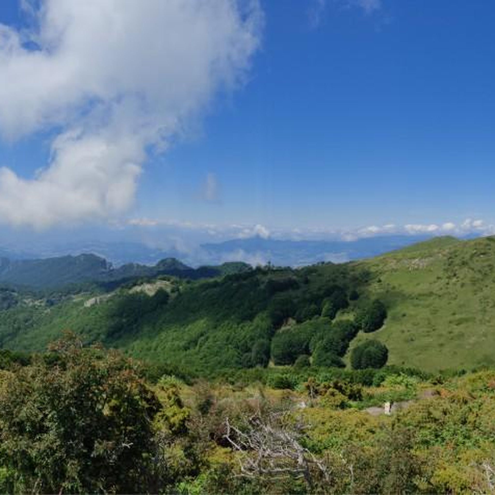
Jogging around La Chaudière offers diverse terrain centered around the Rivière Chaudière and its prominent falls. The region features a mix of wooded countryside and scenic riverside paths, providing varied running experiences. Trails range from easier routes to more challenging paths with significant elevation changes. The landscape is characterized by the powerful Chaudière Falls and the surrounding green, forested areas.
Best jogging routes around La Chaudière
- The most popular jogging route is Le Veyou – Roche Courbe loop from Chastel-Arnaud…
Last updated: July 1, 2026
5.0
(1)
65
runners
33.3km
05:53
1,920m
1,920m
Hard run. Very good fitness required. Sure-footedness, sturdy shoes and alpine experience required.
57
runners
6.28km
01:25
550m
550m
Hard run. Very good fitness required. Sure-footedness, sturdy shoes and alpine experience required.

Sign up for free
48
runners
9.51km
01:59
690m
690m
Hard run. Very good fitness required. Sure-footedness, sturdy shoes and alpine experience required.
12
runners
20.5km
03:06
990m
990m
Hard run. Very good fitness required. Mostly paved surfaces. Suitable for all skill levels.
8
runners
18.1km
03:24
1,130m
1,130m
Hard run. Very good fitness required. Sure-footedness, sturdy shoes and alpine experience required.
Get access to more routes and recommendations from other explorers.
Sign up for free
Already have an account?
Our route recommendations are based on thousands of hikes, rides, and runs completed by other people on komoot.
Start today with a free account
Your next adventure awaits.
Login or Signup

Other adventures around La Chaudière

Tips from the Community

The return route is impossible to find. It is recommended to retrace your steps, as the route indicates a 50% elevation gain at the end after a full-circle climb across the southern savannah. Otherwise, the view of the Veyou and the surrounding area is extraordinary.
0
0

A beautiful little pass under the gaze of the three beaks
0
1

Beautiful rock formation near the Trois Becs
4
0

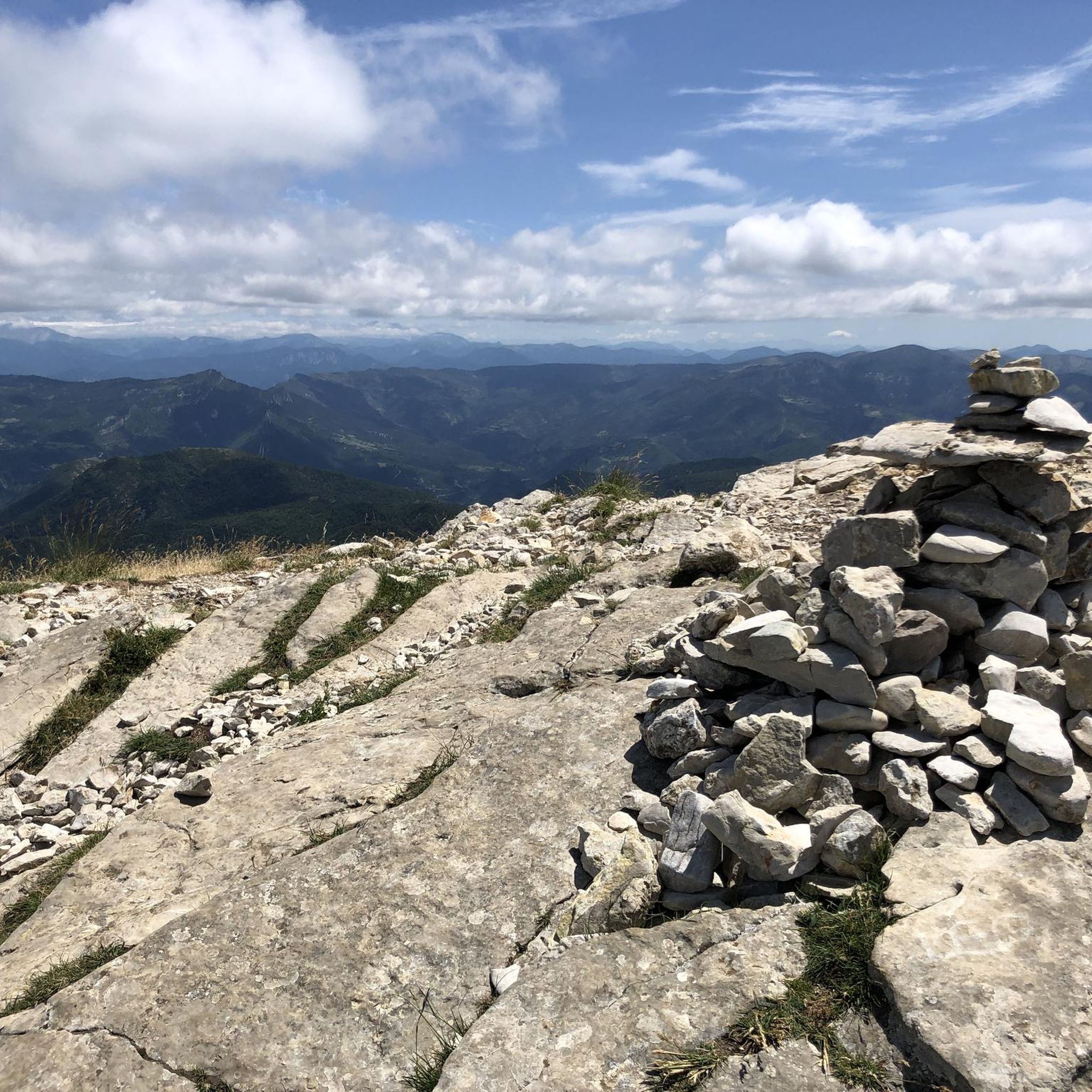
Located just under the Trois Becs, the Col de la Chaudière peaks at an altitude of 1,047 meters. It offers a clear view of the Drôme Provençale. The climb is gradual on both sides, whether from the Saillan side or from Bourdeaux.
2
0

Beautiful mountain, the ridges in spring are grassy with flowers and magnificent views, hike done before the summer pastures (because pastures and patou)
0
0

Beautiful mountain walk over the 3 peaks of the Drome with views to the Alps, Rhone Valley and Mont Ventoux 👌🏻
3
0

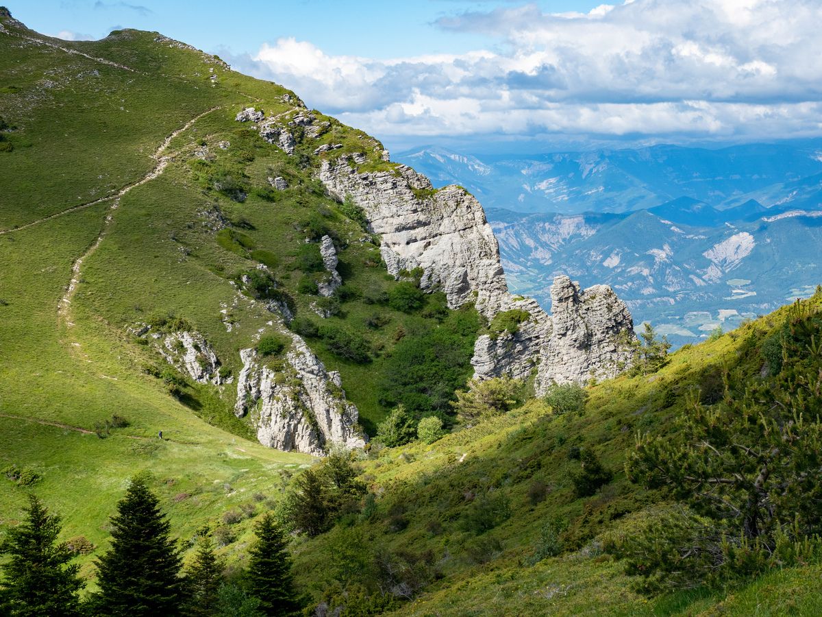
Located on the summit of Pésteié, the Laveuse rock is a site a little set back not to be missed when climbing the Trois Becs. These rocks with unusual shapes constitute a natural window on the green mountains of the surroundings.
2
2
Frequently Asked Questions
What kind of running terrain can I expect in La Chaudière?
La Chaudière offers a diverse range of running terrain, primarily centered around the Rivière Chaudière and its impressive falls. You'll find a mix of scenic riverside paths and extensive wooded countryside. Trails vary from easier, relatively flat sections to more challenging routes with significant elevation changes, providing a varied experience for runners.
Are there any easy running routes in La Chaudière for beginners?
While many routes in La Chaudière feature significant elevation, there is at least one easy running route available. The Parc des Chutes-de-la-Chaudière itself offers nearly 5 km of diverse trails, some of which are suitable for easier runs or walks, allowing beginners to enjoy the natural beauty without extreme challenges.
What natural features or landmarks can I see while jogging in La Chaudière?
Jogging in La Chaudière offers stunning natural features and unique landmarks. The majestic 35-meter (115-foot) high Chaudière Falls are a centerpiece, and you can run alongside the scenic Rivière Chaudière. A major highlight is the 113-meter (370-foot) long suspension bridge, offering panoramic views of the falls. You might also spot the hydroelectric dam and power station. For specific points of interest, consider exploring highlights like Le Veyou or Les Trois Becs.
Are there any circular running routes in the La Chaudière area?
Yes, La Chaudière features several excellent circular running routes. For instance, the Ascent to the Trois Becs – Le Veyou loop from La Chaudière is a popular option, offering a challenging ascent with rewarding views. Another great loop is the Rocher de la Laveuse – Roche Courbe loop from Chastel-Arnaud, which takes you through forested areas with significant climbs.
What do other runners say about the trails in La Chaudière?
The running routes in La Chaudière are highly regarded by the komoot community, boasting an average score of 4.5 stars from around 50 reviews. Over 1,200 runners have used komoot to explore the varied terrain, often praising the powerful waterfalls, scenic river paths, and extensive wooded countryside that define the region's running experience.
Is La Chaudière suitable for long-distance running?
Absolutely. La Chaudière offers several routes suitable for long-distance running, particularly for those seeking a challenge. The Le Veyou – Roche Courbe loop from Chastel-Arnaud, for example, is a difficult 33.4 km (20.7 miles) trail with substantial elevation gain, perfect for endurance training.
Can I find parking near the running trails in La Chaudière?
The Parc des Chutes-de-la-Chaudière, a central hub for many trails, typically offers parking facilities for visitors. It's advisable to check local park information or specific route starting points for detailed parking availability before your run.
What is the best time of year to go running in La Chaudière?
La Chaudière is beautiful throughout the year, but the best time for running generally depends on your preference. Spring and autumn offer pleasant temperatures and vibrant foliage. Summer is also popular, though it can be warmer. Winter running is possible, but trails may be covered in snow or ice, requiring appropriate gear and caution.
Are there any family-friendly running paths in La Chaudière?
Yes, the Parc des Chutes-de-la-Chaudière features nearly 5 km of trails, some of which are easy walking paths suitable for families. These trails offer a refreshing escape into nature, allowing families to enjoy the calming presence of the river and the spectacle of the falls together.
Are dogs allowed on the running trails in La Chaudière?
Many outdoor areas in Quebec, including some parts of Parc des Chutes-de-la-Chaudière, are dog-friendly, often requiring dogs to be on a leash. It's always best to check specific park regulations or trail signage before heading out with your canine companion to ensure a smooth experience.
Are there places to eat or relax after a run in La Chaudière?
Yes, the Parc des Chutes-de-la-Chaudière offers vast picnic areas, perfect for a post-jog meal or relaxation amidst nature. While specific cafes or pubs directly on the trails might be limited, the nearby town of Lévis would provide various options for refreshments and dining.
How many running routes are available in the La Chaudière region?
The La Chaudière region offers a wide selection of running routes, with over 80 different tours available. These range from easy paths to moderate and difficult trails, ensuring options for various fitness levels and preferences.
Most popular routes around La Chaudière
Most popular attractions around La Chaudière

Get inspired with the komoot mobile app


Explore more
Browse the best Running Trails & Routes in other regions.
